
Mayaguez
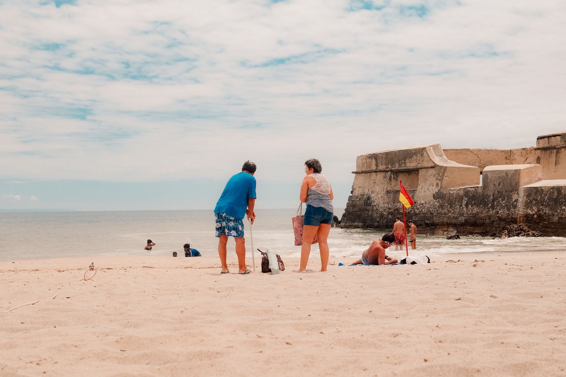
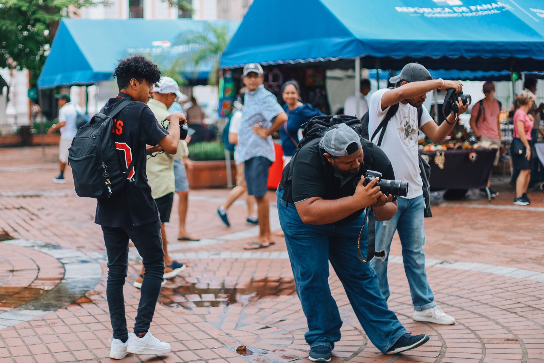
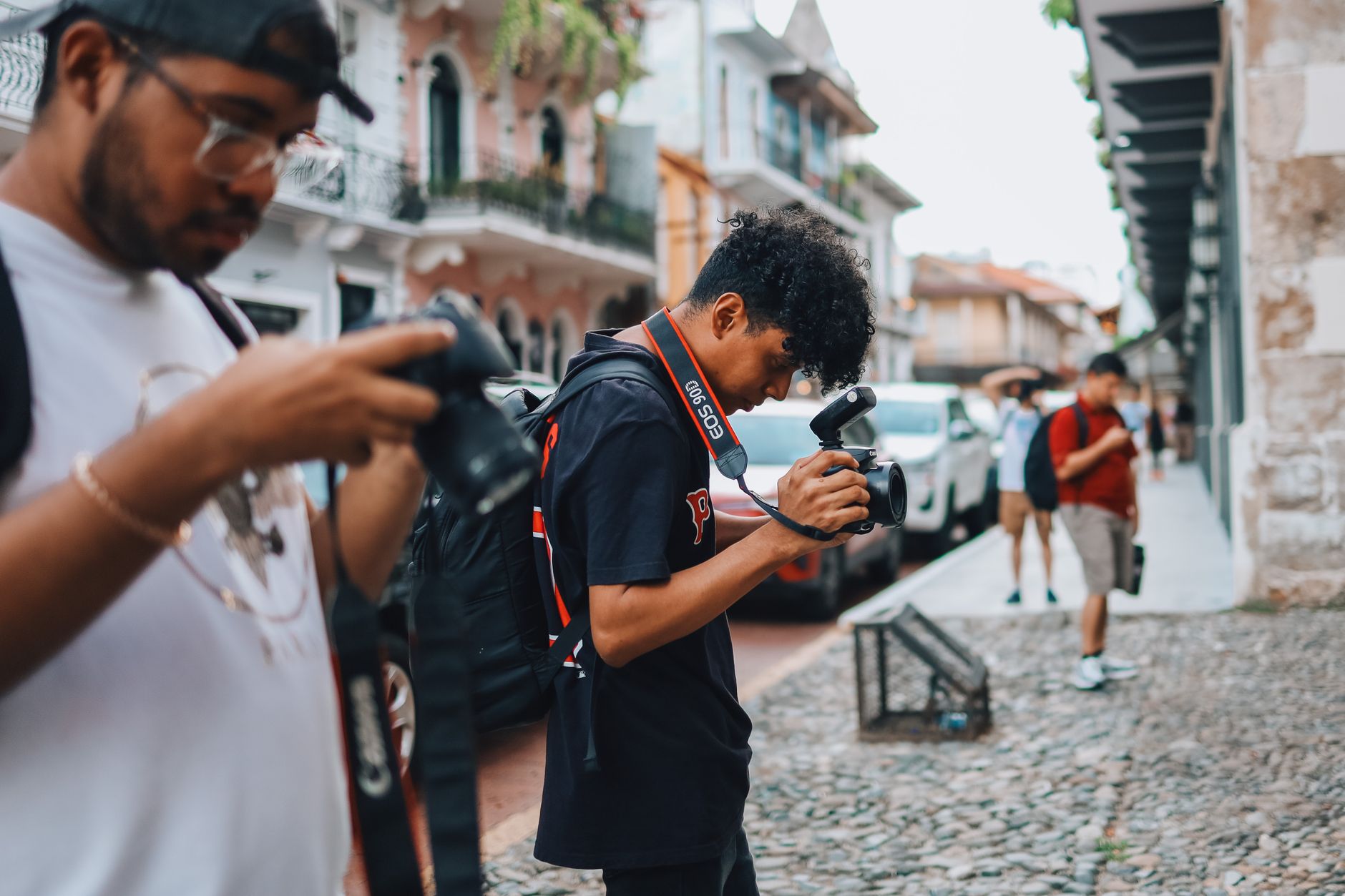
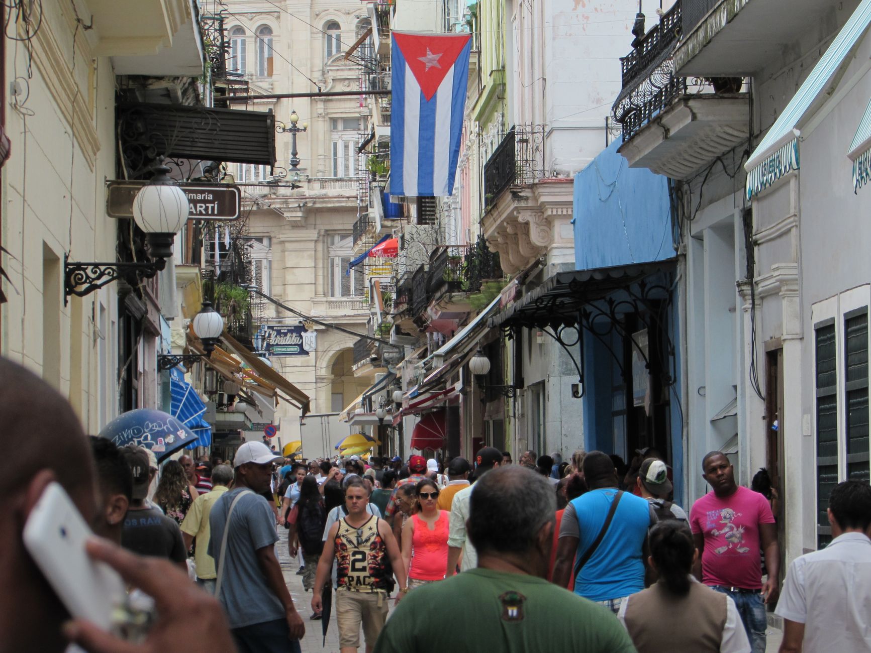
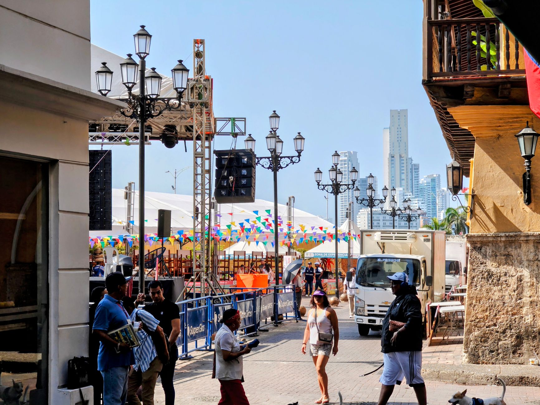
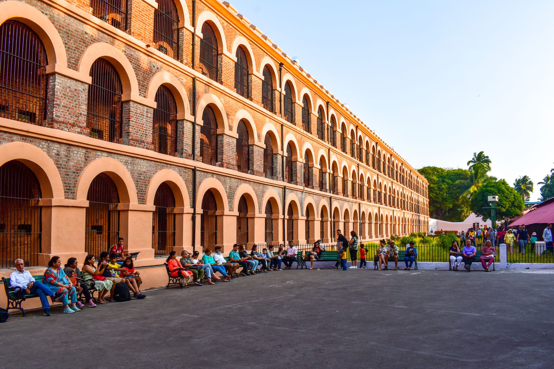
Mayagüez sits on Puerto Rico's west coast where the Yagüez River meets the bay, and it runs on its own clock — slower than San Juan, louder than the resort towns further south. This is a working city: a university town, a port, the place where the island's tuna industry once ran at industrial scale. Plaza Colón anchors the downtown, its Christopher Columbus statue ringed by sixteen bronze figures, and the Teatro Yagüez — rebuilt after a fire killed 92 people in 1919 — still puts on shows a century later.
Come here to move between the west coast's surf breaks and dry forests without paying resort prices, and to eat and drink alongside people who actually live on this island.
How Mayaguez came to be
Faustino and Lorenzo Martínez de Matos, Juan de Silva, and Juan de Aponte founded the settlement on September 18, 1760, on a hill just inland from the bay. The Spanish Crown granted it self-government three years later, and by 1836 it had been elevated to villa, with Rafael Mangual as its first mayor. The city's formal charter came in 1877, and in 1894 the Crown gave it the title Excelente Ciudad — the Excellent City.
The nineteenth and twentieth centuries were hard on Mayagüez's built fabric. A fire in 1841 destroyed 300 of the city's 500 homes. The earthquake and tsunami of October 1918 nearly leveled what remained. Eight months later, fire gutted the Teatro Yagüez. Each time, the city rebuilt — sometimes faster, sometimes better, always with the same insistence on staying.
Who and what shaped it
People who shaped it
Landmark buildings
See Mayaguez in motion
Plan your visit
On the map
When to go
Mayagüez is warm year-round, with temperatures ranging from around 28°C (82°F) in February to 31°C (88°F) in July and humidity that rarely lets up. The drier window between November and April is the more comfortable time to walk the downtown at length; if you visit between May and October, expect afternoon rain, especially in September.
Right now
Background & history adapted from Wikipedia (CC BY-SA) · specs from Wikidata (CC0) · weather from Open-Meteo · map data © OpenStreetMap contributors · photos from Wikimedia Commons / Unsplash with per-image credit. No third-party reviews or social posts reproduced.