
Manuel Antonio National Park
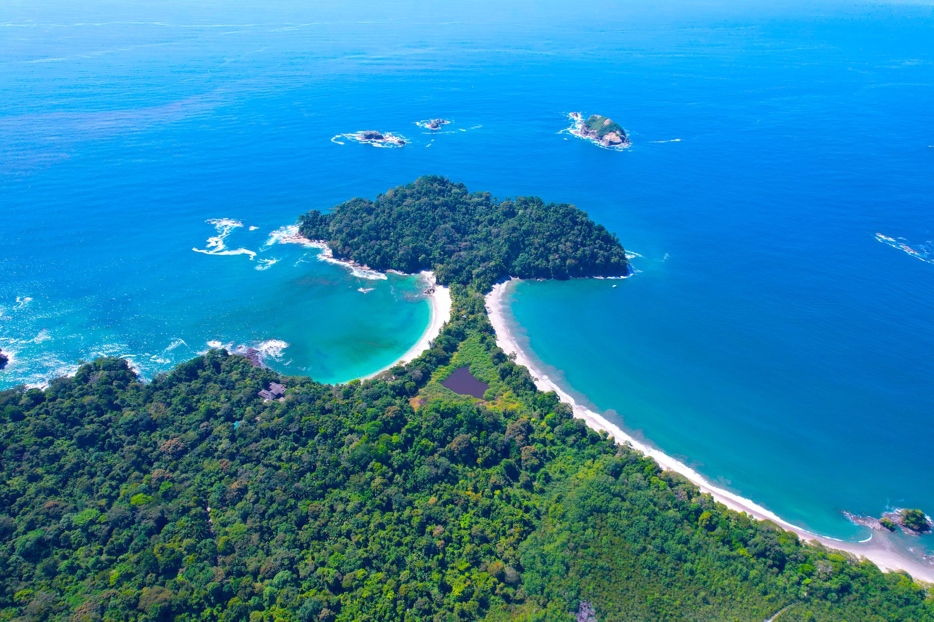
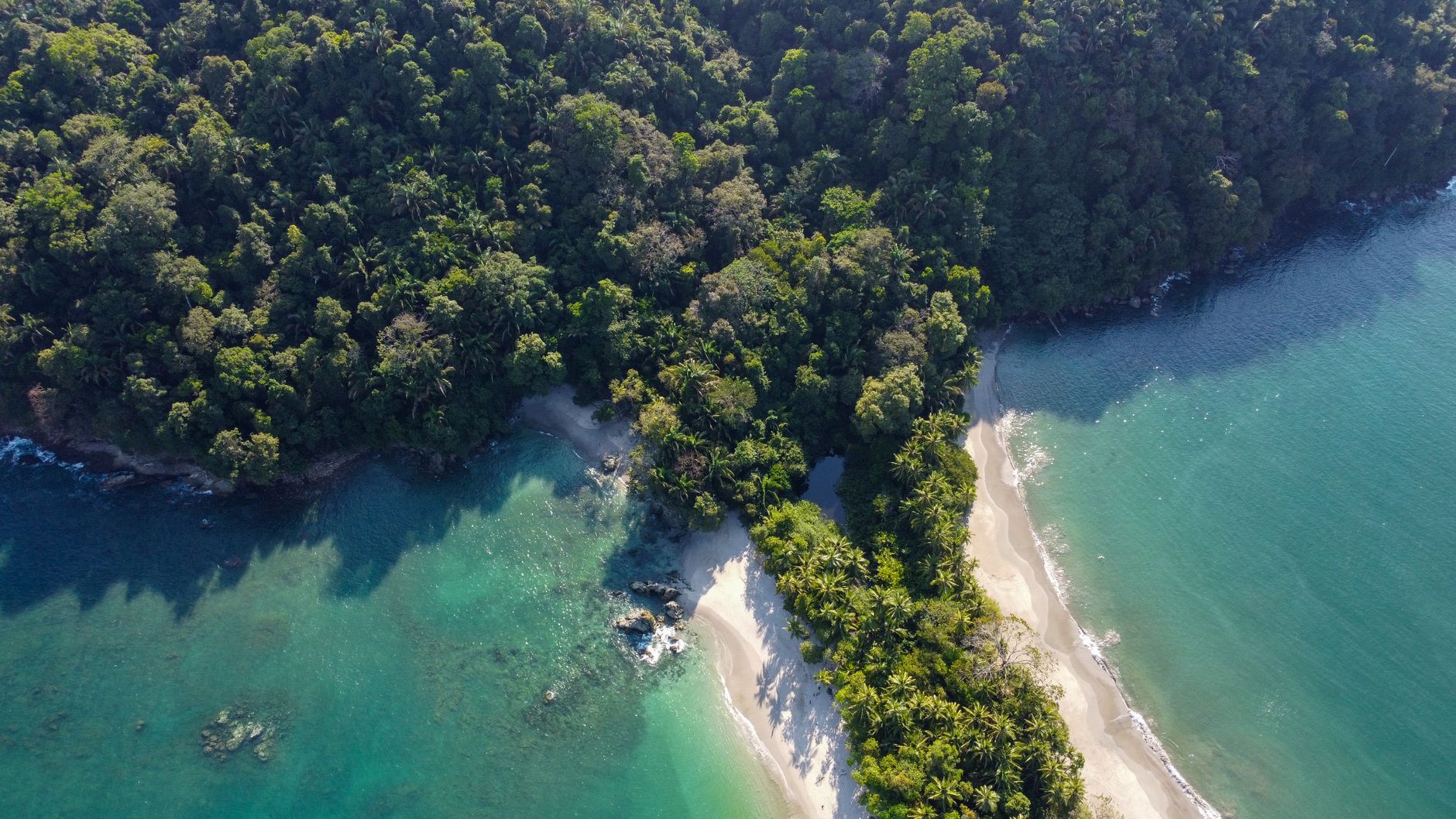
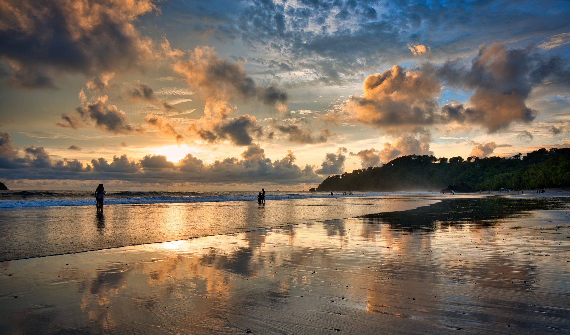
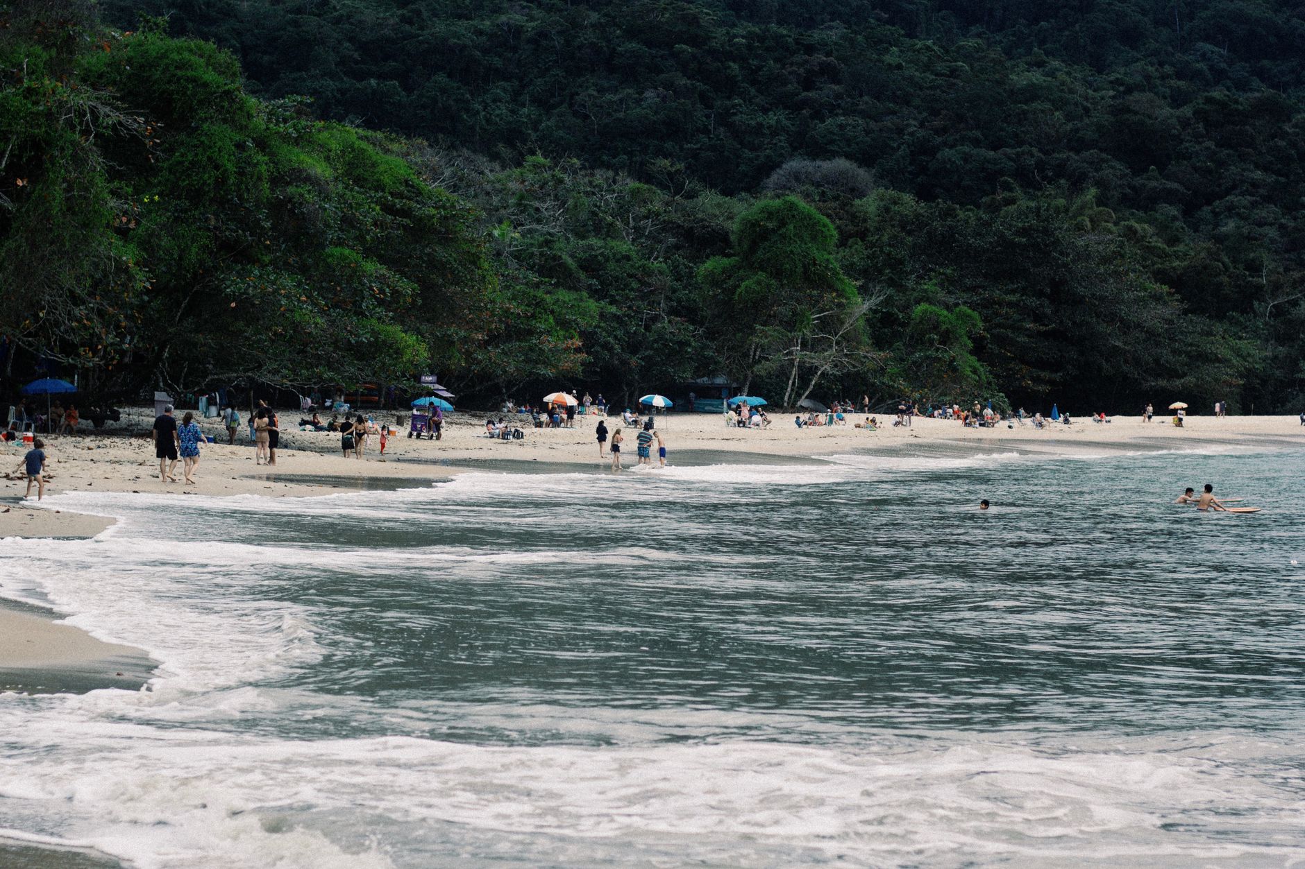
Manuel Antonio National Park packs a lot into a small footprint — roughly 16 square kilometres of protected rainforest meeting the Pacific coast of Costa Rica's Central Pacific zone. The park's most unusual landmark is Punta Catedral, a headland that was once a separate island until sediment slowly bridged it to the mainland, forming a sandy strip called a tómbolo. Walk its perimeter trail and you'll find three viewpoints looking out over rocky islets that seabirds use as year-round roosts.
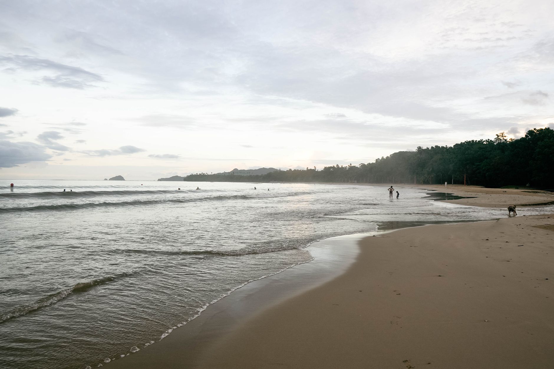
The park enforces a strict daily cap of 600 visitors, which keeps the trails genuinely quiet. Manuel Antonio Beach draws most of the crowd, but Espadilla Sur — broader and wilder — tends to thin out as the day goes on. At low tide beside the headland, look for La Trampa: a ring of stones that the indigenous Quepoa people used to trap turtles and fish, still visible in the sand.
How Manuel Antonio National Park came to be
The Quepoa people, a subgroup of the Boruca, were the original inhabitants of this stretch of coast. In the 1920s, the Lutz family and then the United Fruit Company moved in, planting banana farms across the region and turning Quepos into the Central Pacific's main export port, complete with docks, railways, and company housing. By the mid-1950s, Panama disease, floods, and labour conflicts had dismantled the industry.
The park itself was born in 1972 from a local conservation push. Residents wanted to stop development from swallowing the coastline, and they also pushed back against foreign landowners who had been restricting public access to the beaches. That community-driven effort created what is now one of Costa Rica's most visited national parks.
Who and what shaped it
Landmark buildings
See Manuel Antonio National Park in motion
Plan your visit
On the map
When to go
The dry season runs December through April, with calm seas and the majority of days fully sunny — the most reliable window for swimming and beach time. May through November brings heavy afternoon rain and noticeably fewer visitors; August is the wettest month, but mornings often stay clear, and the forest is at its most saturated and green.
Right now
Background & history adapted from Wikipedia (CC BY-SA) · specs from Wikidata (CC0) · weather from Open-Meteo · map data © OpenStreetMap contributors · photos from Wikimedia Commons / Unsplash with per-image credit. No third-party reviews or social posts reproduced.