
Luquillo
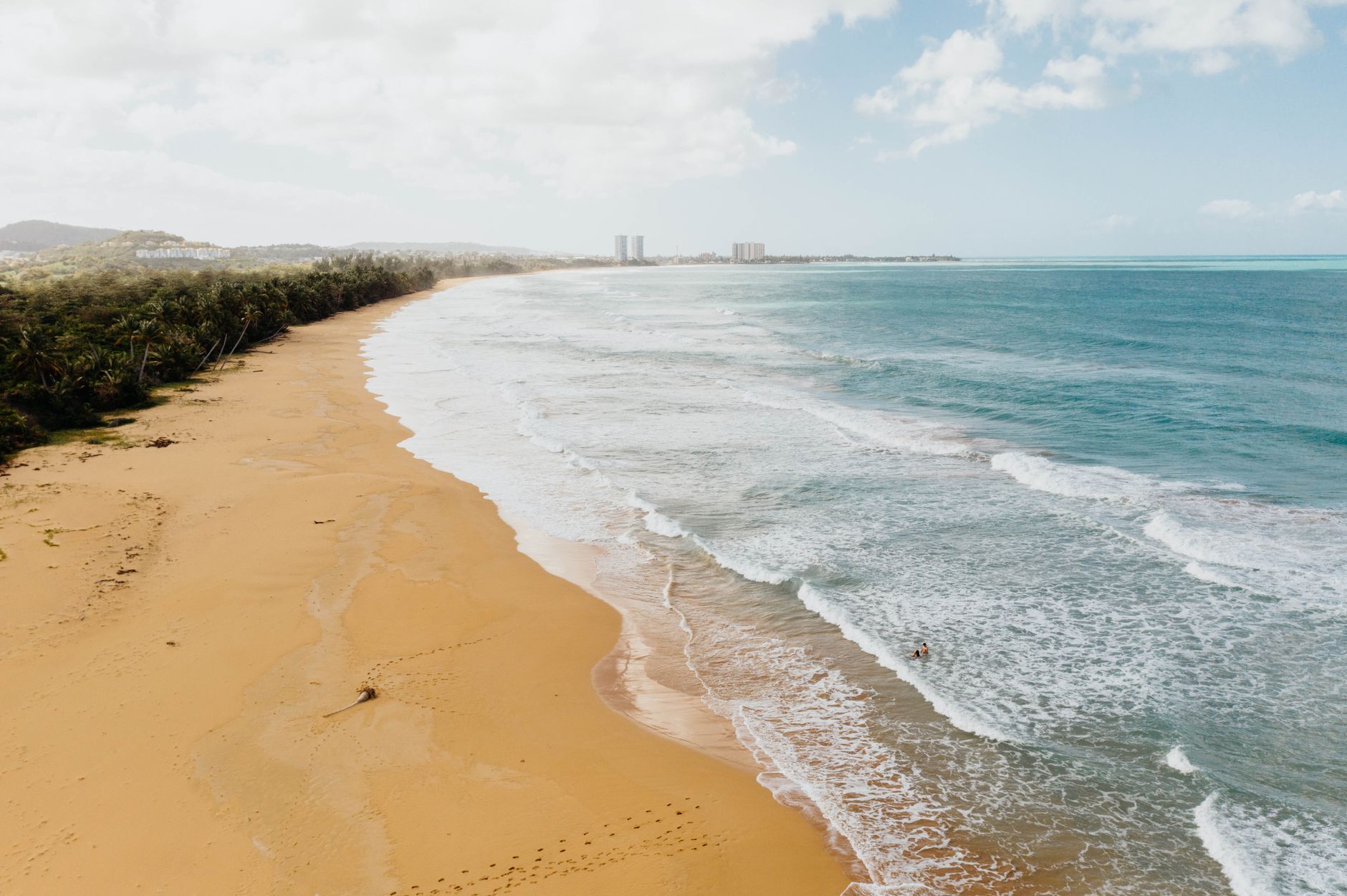

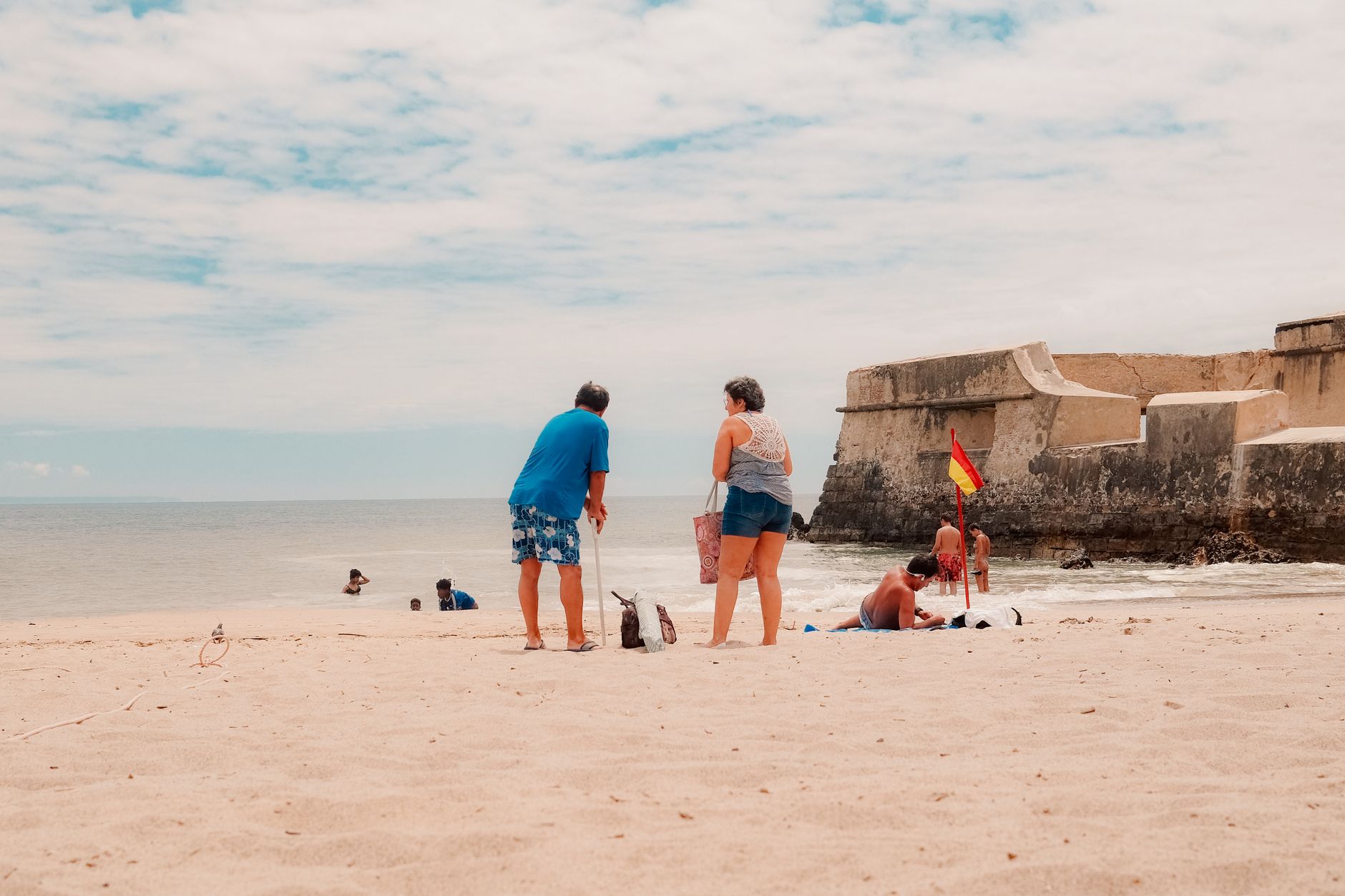
Luquillo sits where the Atlantic meets the edge of a rainforest, and that collision shapes everything here. A mile of coconut-palm beach curves along the northeastern coast, calm enough for families because offshore reefs break the swell before it arrives. Behind town, El Yunque climbs into the clouds — not background scenery but a defining presence, close enough that the air carries its moisture even on sunny afternoons.
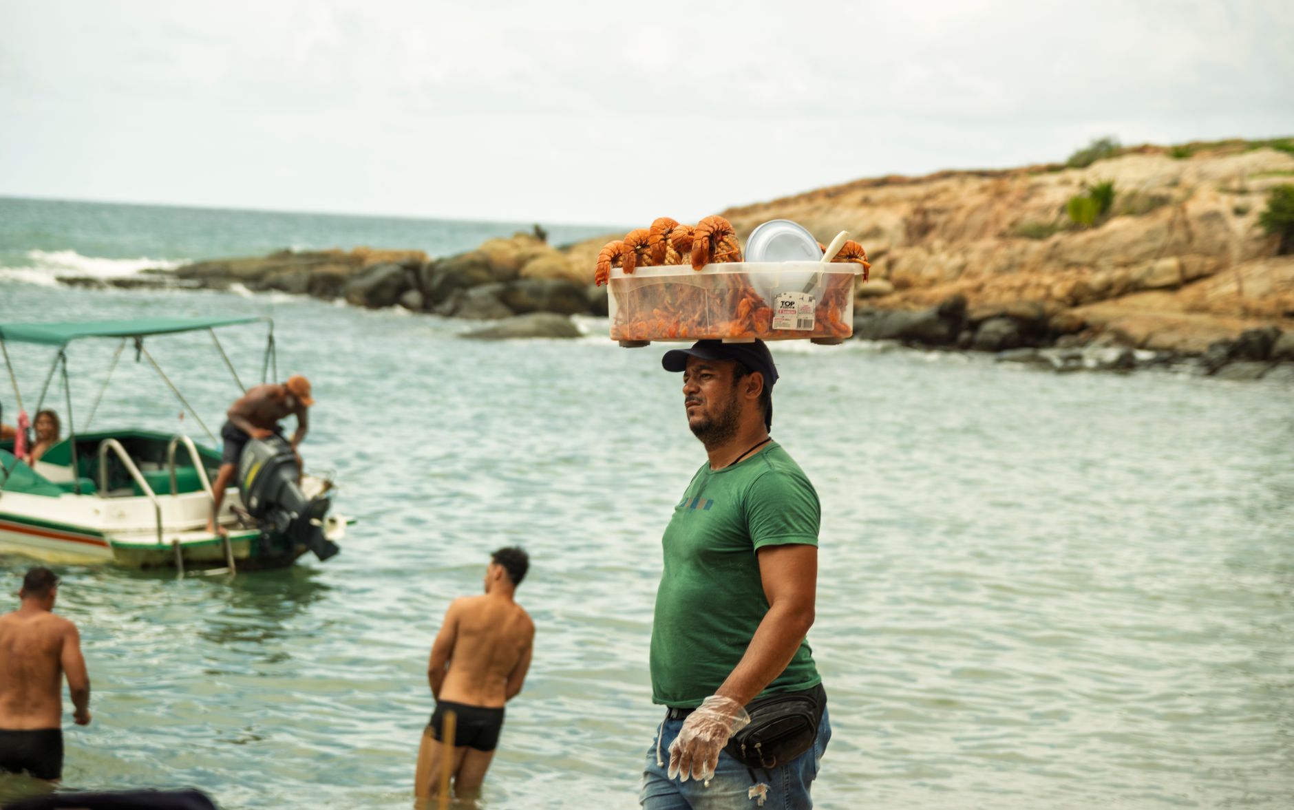
The municipality's nickname, La Capital del Sol, isn't just civic pride: March delivers nearly nine and a half hours of sunshine a day, and the town's 14 beaches give you plenty of room to use them. The famous kiosk strip along PR-3 — more than 60 food stalls — is where locals spend weekend evenings, and it tells you more about Luquillo's character than any landmark.
💛 What travellers fall for
People who return to Luquillo tend to skip the main beach on weekend afternoons and go then to the kiosks instead, when the crowd is local and the fritters come out fastest. They also learn quickly that a rental car isn't optional — there's no meaningful public transit, and the Northeast Ecological Corridor beaches that flank the municipality reward the detour.
How Luquillo came to be
The municipality was formally established on July 3, 1797, under the name San José de la Tuna, founded by Cristóbal Guzmán and later shortened to Luquillo. The name itself traces back further — likely to Yukiyu, the Taíno word for El Yunque meaning roughly 'white mountain,' though local legend credits a cacique named Loquillo who died in the years after the last indigenous rebellion of 1513.
Through the 1800s, sugar cane, coconuts, and fishing defined the economy. In 1903, Theodore Roosevelt designated the surrounding forest a federal reserve — what is now El Yunque National Forest. By the mid-twentieth century, Monserrate Beach and the kiosk strip had transformed Luquillo into a weekend destination for the island. Hurricane Hugo struck in 1989; Hurricane Maria hit far harder on September 20, 2017, breaching rivers, triggering landslides, and destroying or damaging more than 1,100 homes.
Who and what shaped it
People who shaped it
Landmark buildings
See Luquillo in motion
Plan your visit
On the map
When to go
Temperatures hold steady around 29°C (84°F) year-round, with February the mildest month and September the warmest and wettest. February and March are the driest and sunniest months — ideal for the beach; September through November brings the heaviest rainfall and the fewest hours of sun, alongside Atlantic hurricane season.
Right now
Background & history adapted from Wikipedia (CC BY-SA) · specs from Wikidata (CC0) · weather from Open-Meteo · map data © OpenStreetMap contributors · photos from Wikimedia Commons / Unsplash with per-image credit. No third-party reviews or social posts reproduced.