
Livingston
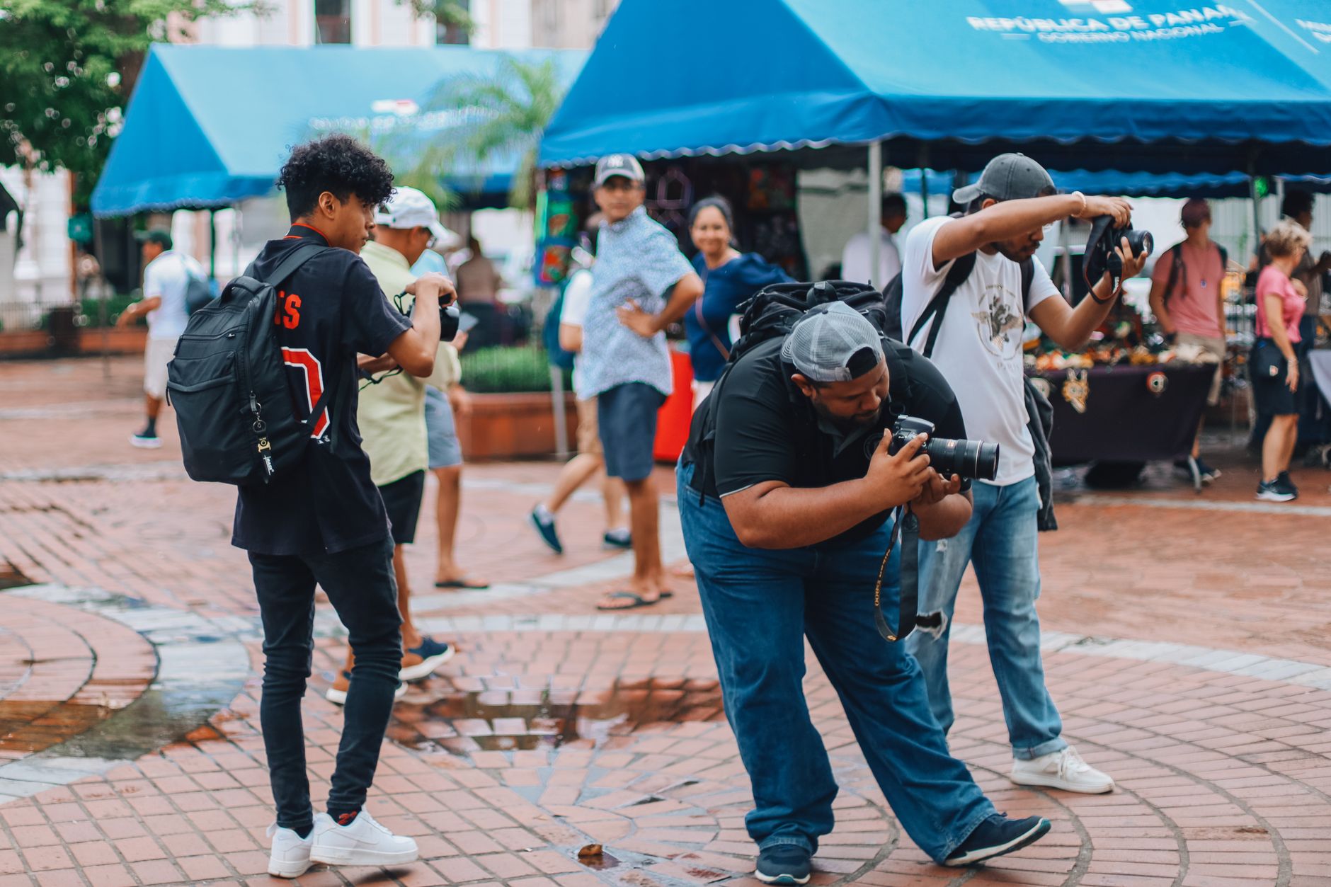
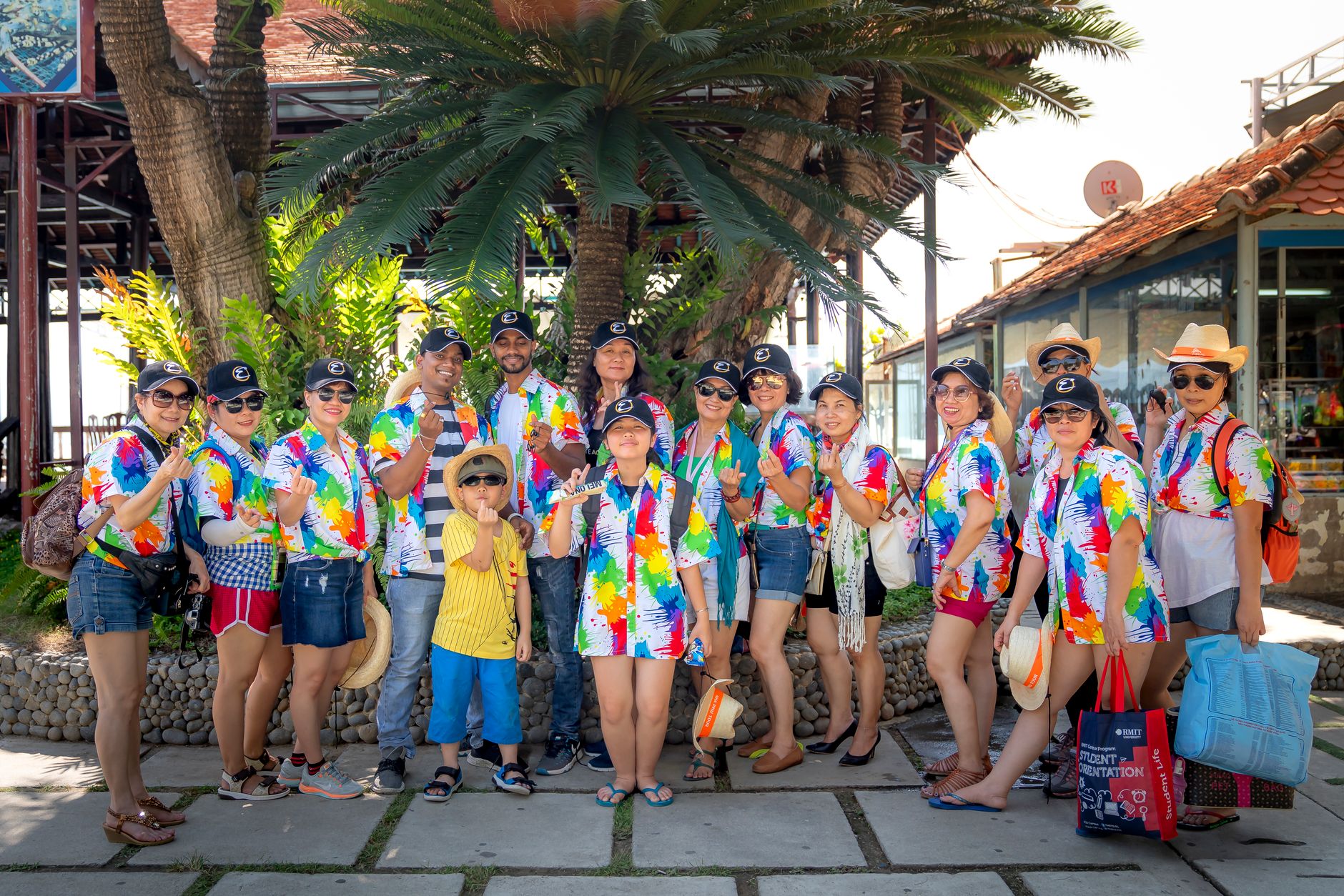
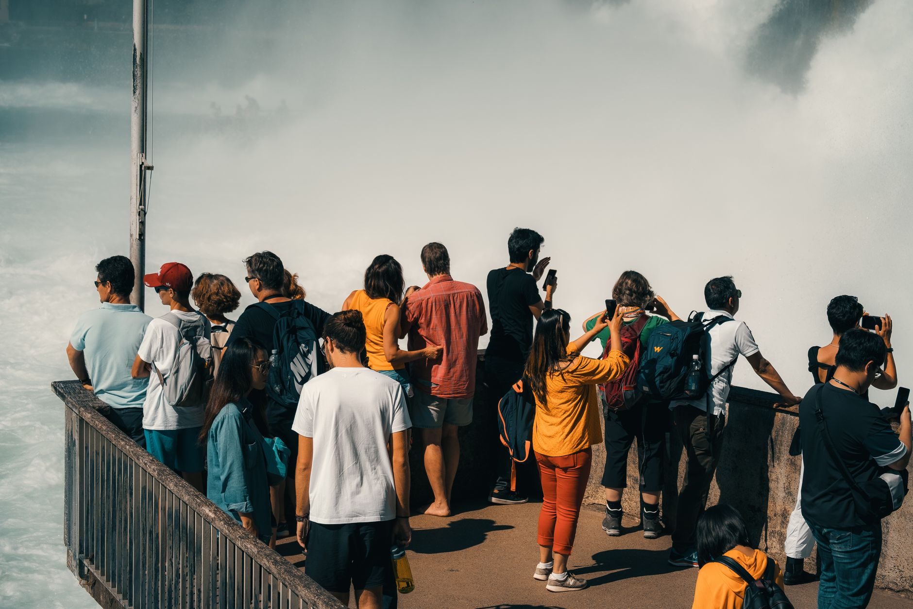
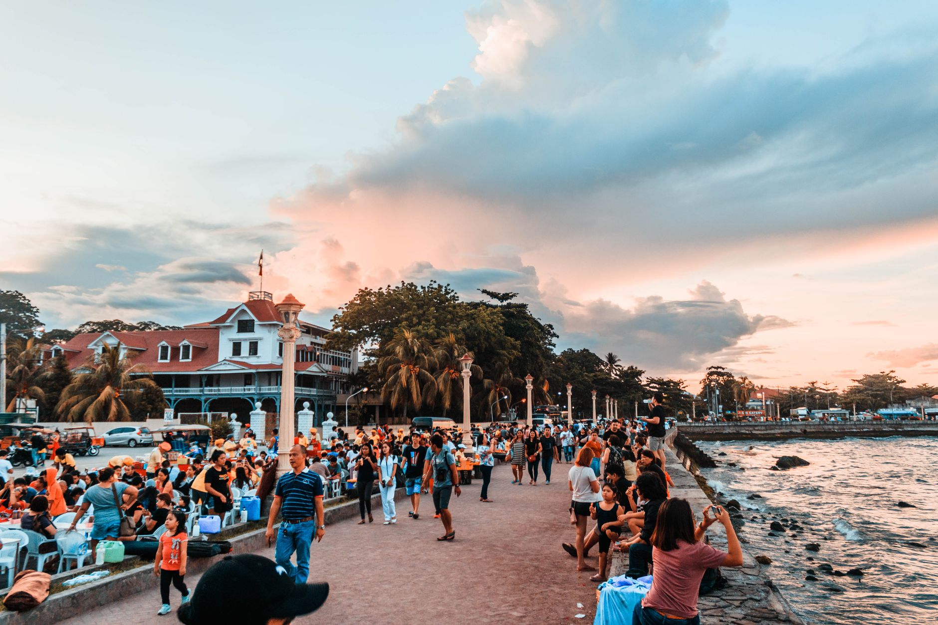
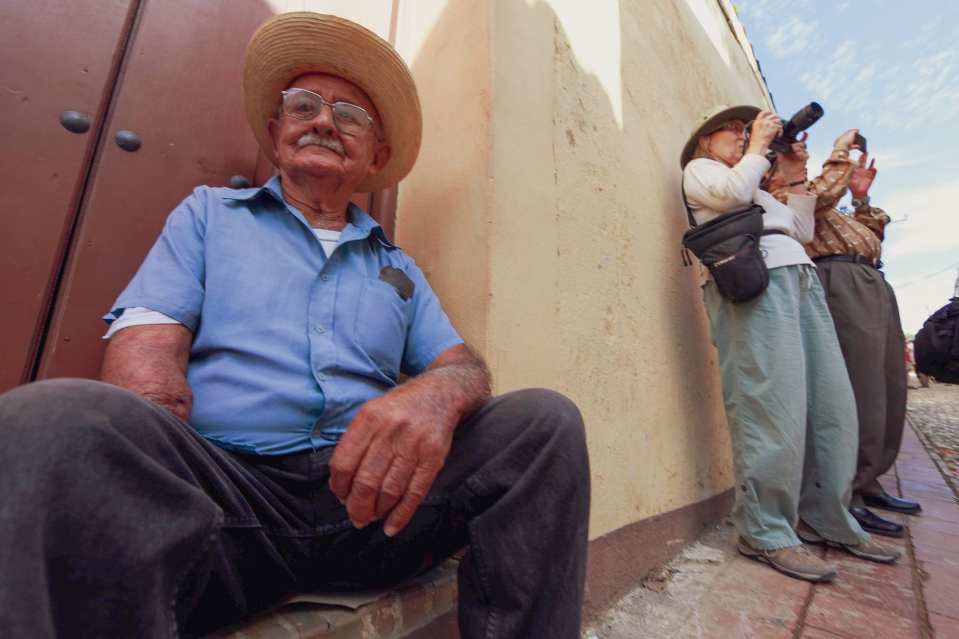
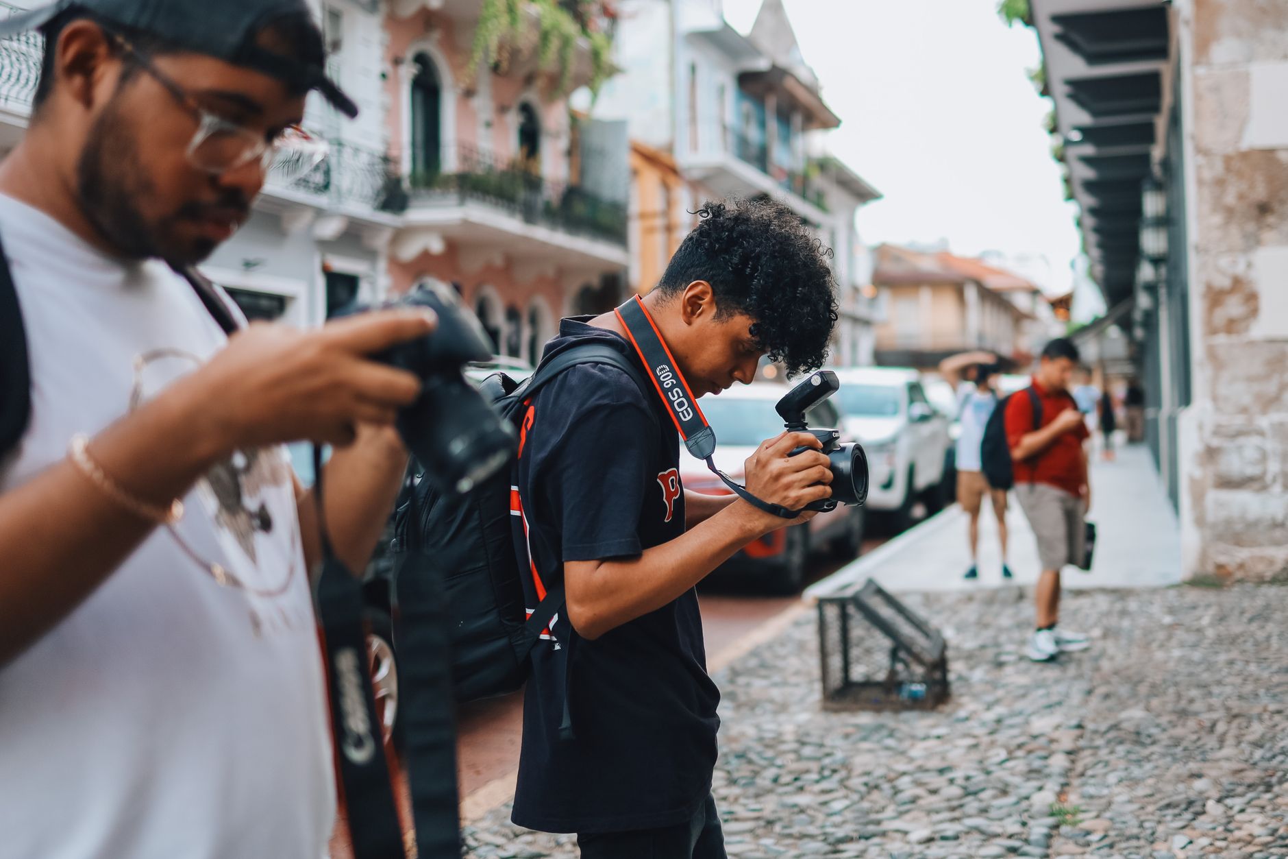
Livingston sits at the mouth of the Río Dulce where it meets the Caribbean, and you can only get there by boat — a fact that shapes everything about the place. That physical isolation has kept it genuinely apart from the rest of Guatemala, and the town that greets you at the dock is unlike anywhere else in the country: a small, steep-hilled settlement whose majority Garifuna population gives it a culture rooted in the Caribbean, not the highlands.
The Garifuna — descendants of escaped African slaves and Indigenous Caribs from St. Vincent, deported to the region in the late 18th century — brought their own language, music, and food traditions, all of which persist here in ways that feel lived rather than performed. One or two nights is the right measure of time.
How Livingston came to be
In November 1802, Marcos Sánchez Díaz led a group north from Honduras and settled the site. By 1831, Mariano Gálvez — then head of state — renamed the town Livingston in honour of American jurist Edward Livingston, author of a set of progressive legal codes, and made it the seat of the newly formed department of Izabal. Before Puerto Barrios was built, this was Guatemala's principal Caribbean port.
The Garifuna began arriving in the early 19th century, following their 1797 deportation to Roatán by British colonial authorities. They had been exiled from St. Vincent after years of resistance, and they carried their culture — language, ceremony, punta music — across the water with them. That inheritance defines Livingston today more than any colonial or administrative history.
Who and what shaped it
People who shaped it
Landmark buildings
See Livingston in motion
Plan your visit
On the map
When to go
Livingston is tropical rainforest year-round: warm and humid, with daytime temperatures typically between 28–32°C. Rain is heaviest from May through October, but even the drier months from November to April can bring sudden downpours — light clothing and a small rain layer make sense in any season.
Right now
Background & history adapted from Wikipedia (CC BY-SA) · specs from Wikidata (CC0) · weather from Open-Meteo · map data © OpenStreetMap contributors · photos from Wikimedia Commons / Unsplash with per-image credit. No third-party reviews or social posts reproduced.