
Lekki-Ikoyi Link Bridge
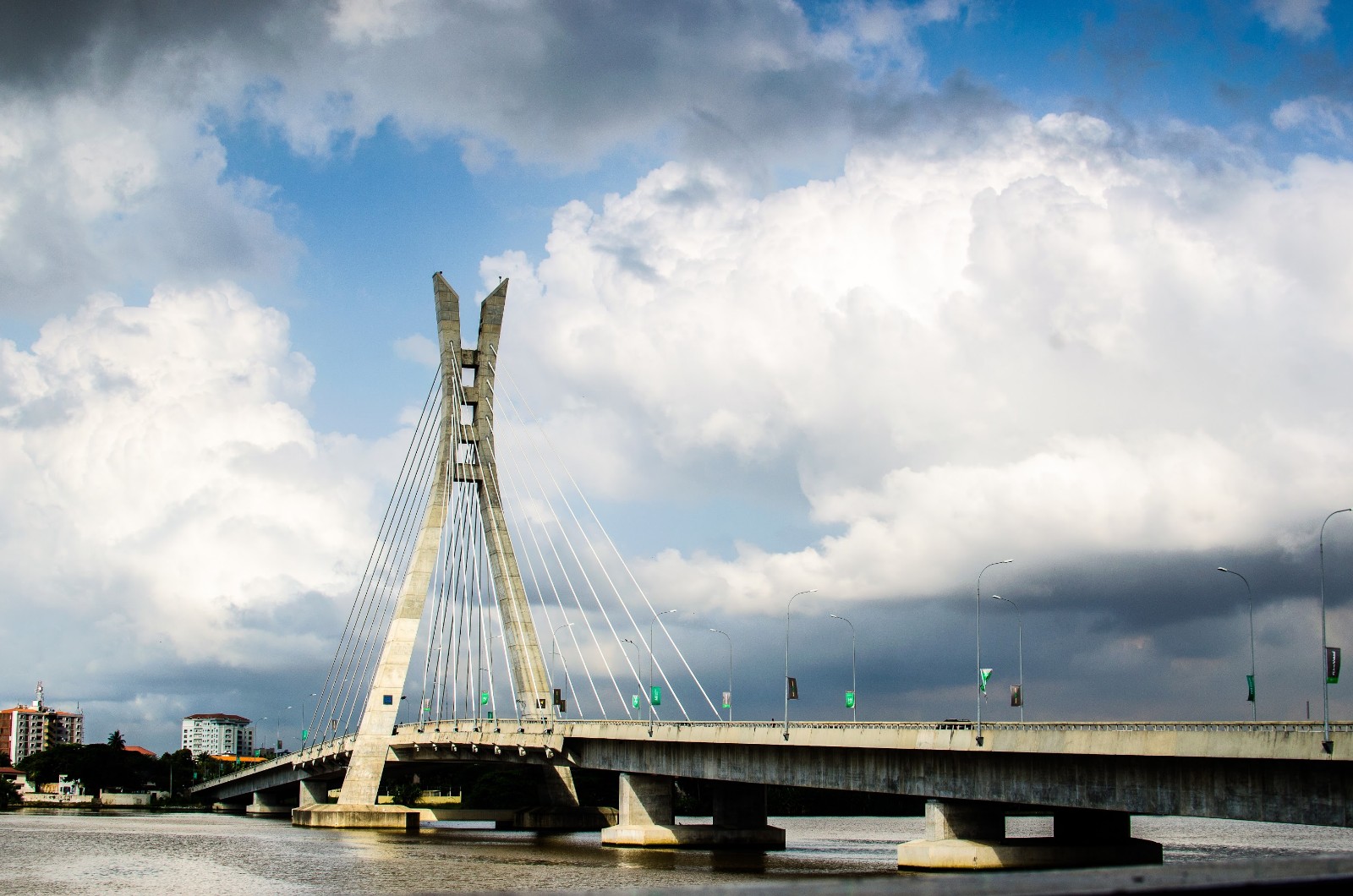
A single 90-metre pylon rises over Five Cowry Creek, its 28 stay cables fanning out like the ribs of a leaf. The Lekki-Ikoyi Link Bridge is 1.36 kilometres of cable-stayed engineering — the first of its kind built in Nigeria — and it carries you between the quieter streets of Ikoyi and the newer density of Lekki Phase 1 in a matter of minutes.
At night the structure is lit in shifting colours that reflect off the creek below. In the early morning, before the traffic thickens, joggers take the wide curbs for themselves. The bridge functions as a crossing and, quietly, as a place to stand still and watch Lagos from the water.
💛 What travellers fall for
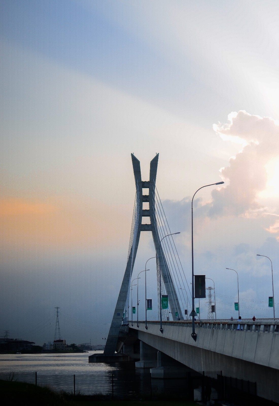
Regulars know to come at sunrise or just before dusk, when the light flattens and the skyline sharpens. After crossing, Pitstop Village on the Ikoyi side is worth stopping at — food, drinks, and an unobstructed view back toward the pylon. The curbs are wide enough to walk comfortably even when traffic is moving.
The story behind Lekki-Ikoyi Link Bridge
The idea to link Ikoyi and Lekki across Five Cowry Creek was first raised by the Lagos State government in 2003, as a way to ease pressure on the New Epe Expressway. Planning was handed to Julius Berger International in 2008, and the formal contract followed on 13 March 2009. Ground broke on 11 May that year.
Four years and N29 billion later, Governor Babatunde Raji Fashola commissioned the bridge on 29 May 2013; it opened to the public two days later on 1 June. Designed by AS+P alongside Julius Berger's engineers, it remains Nigeria's first cable-stayed bridge.
Good to know
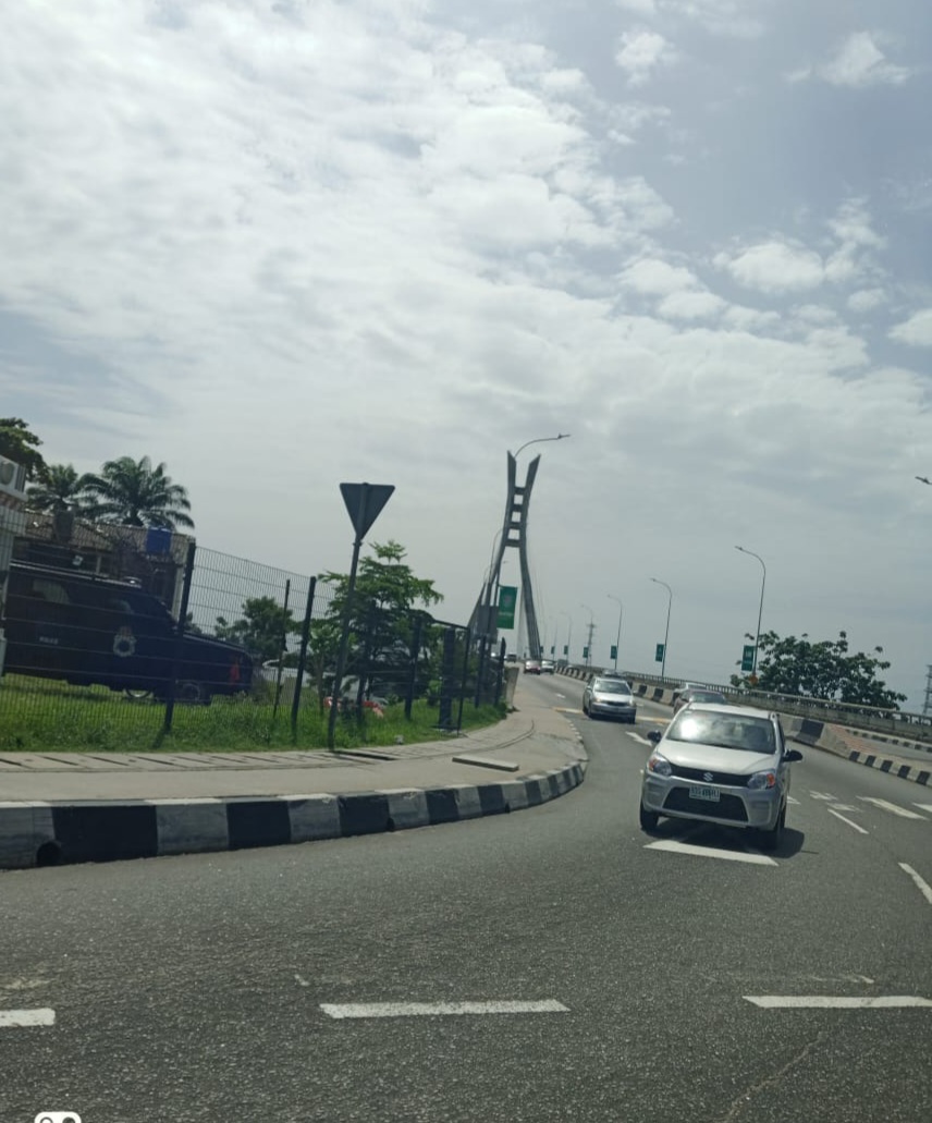
The bridge is toll-free since October 2020, with resumption of charges postponed indefinitely. Restricted to vehicles with 26 seats or fewer. On foot or by car, early morning gives you the clearest air and the least congestion. No specific areas to avoid have been flagged.
Lagos is warm year-round, but the bridge is fully exposed to the elements. The rainy season runs roughly April to October, bringing heavy downpours and occasional strong winds over the creek — a waterproof layer is worth having. The dry harmattan months, November through March, offer clearer skies and better visibility across the water.
Where is Lekki-Ikoyi Link Bridge?
Location
- In Lagos
- 6.4355, 3.4344
- Open in Google Maps
More tickets & tours for Lekki-Ikoyi Link Bridge
Book directly at the provider
More of Lagos
Discover where to stay, what to do and the best deals for your trip.
Explore Lagos →More attractions in Lagos
All of Lagos →
Background adapted from Wikipedia (CC BY-SA) · map data © OpenStreetMap contributors · ratings & place photos via Google · other photos with per-image credit. Ticket links may earn us a commission at no extra cost to you.