
Lake Atitlán

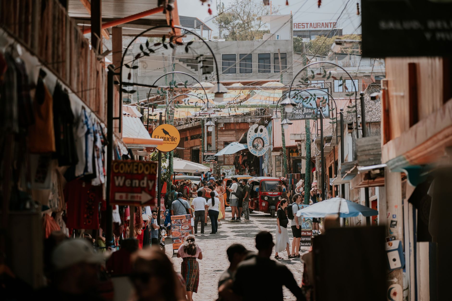
The caldera formed 84,000 years ago, the volcanoes grew back inside it, and the lake filled the space between — that geological accident is what you're looking at from the dock at Panajachel. Three volcanoes ring the water, the light shifts every hour, and the twelve towns around the shore each belong to a distinct world: backpacker lanes in San Pedro, textile cooperatives in San Juan, wellness retreats in San Marcos, and the Tz'utujil ceremonial life of Santiago Atitlán, where the wandering idol Maximón moves between houses throughout the year.
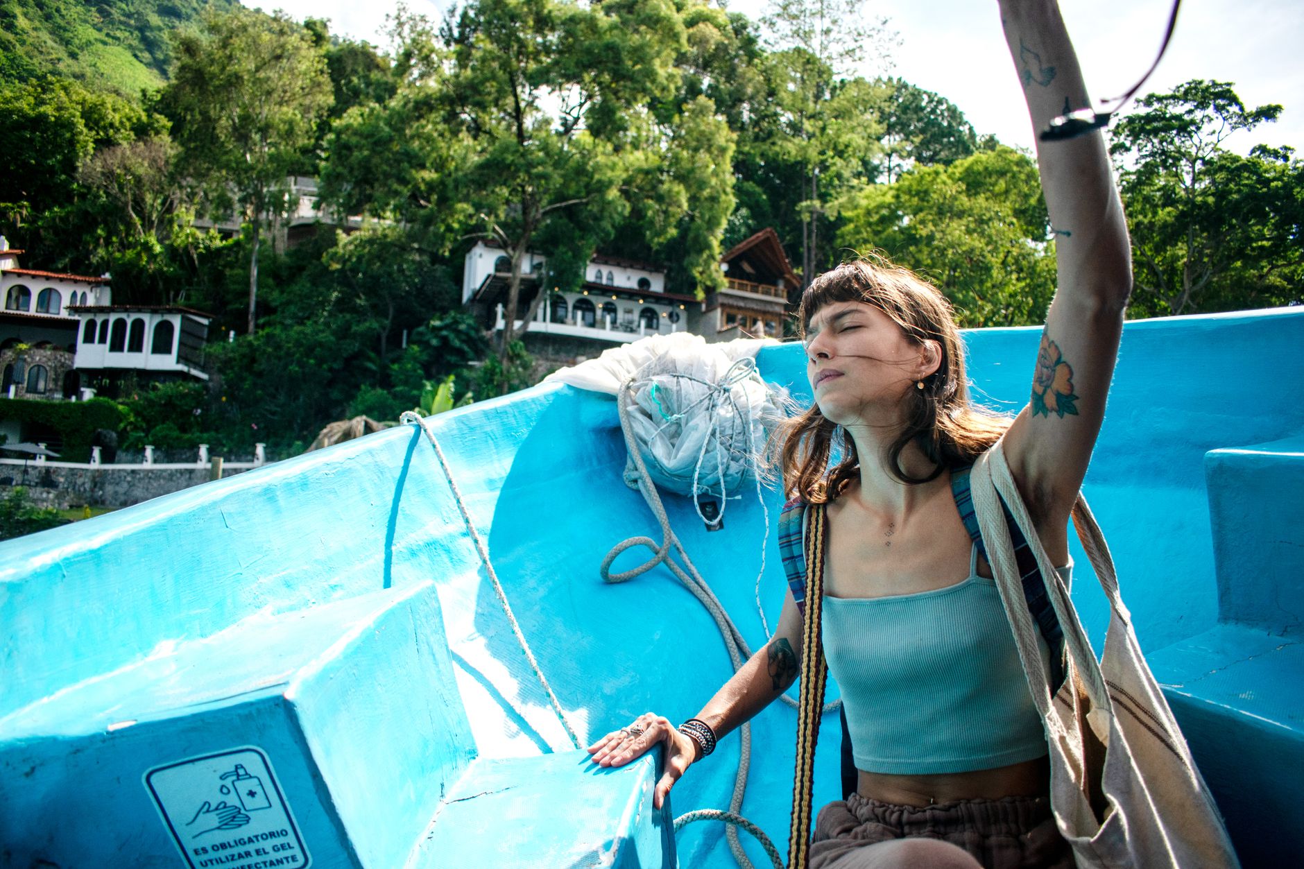
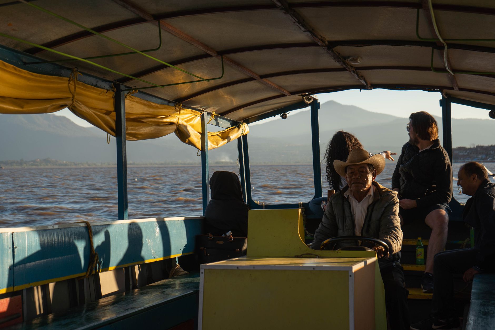
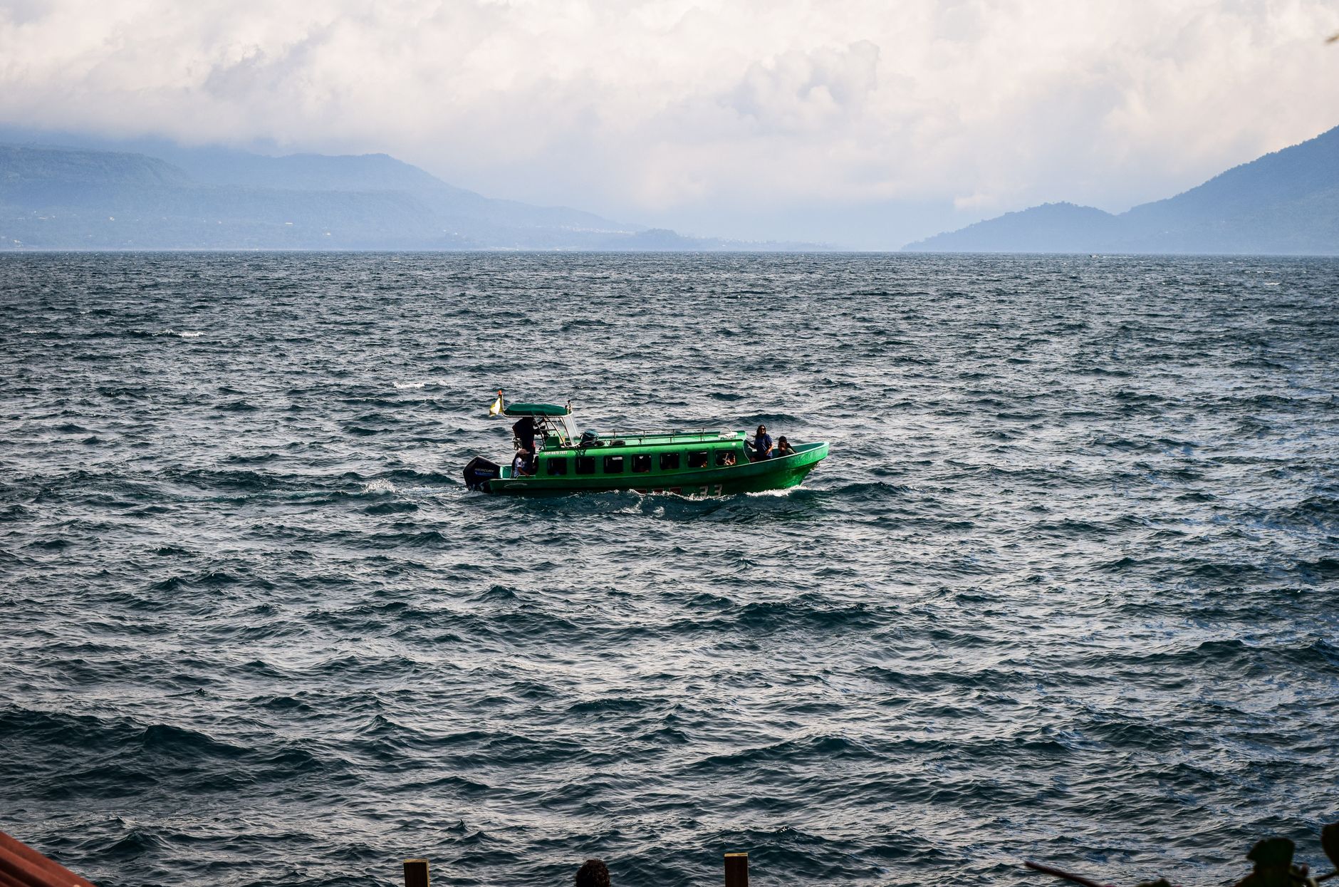
The lake sits at 1,562 metres, so the air is cooler than the altitude on a map might suggest. Getting between towns means boarding a lancha — a motorised wooden boat — at the dock, paying the captain a few quetzales mid-crossing, and watching the volcanoes rearrange themselves as you cut across the water.
💛 What travellers fall for
People who come back tend to pick a base and walk out from there rather than trying to cover everything. San Juan La Laguna rewards a slow morning: the weaving cooperatives open early, the coffee is grown nearby, and the path along the shore to San Pedro takes less than an hour on foot if the trail is dry.
How Lake Atitlán came to be
The caldera that holds the lake was blasted open by a volcanic eruption around 84,000 years ago. The volcanoes visible today — including Volcán Atitlán, which last erupted in 1853 — grew back within that bowl over the past ten millennia. Mayan peoples, predominantly Tz'utujil and Kaqchikel, had long considered the lake sacred when Pedro de Alvarado arrived in 1524. The Spanish reorganised existing settlements into colonial towns, many of which still stand.
The modern history is marked by rupture. The 1976 earthquake — magnitude 7.5, more than 26,000 dead across Guatemala — fractured the lake bed and dropped the water level two metres in a single month. The civil war (1960–1996) gutted tourism; Stanley Rother, a missionary from Oklahoma, was assassinated in the Santiago Atitlán church in 1981. Hurricane Stan in 2005 buried the village of Panabaj in a landslide. Beneath the water itself lies Samabaj, a Mayan village submerged over 1,700 years ago, discovered by diver Roberto Samayoa in 1996.
Who and what shaped it
People who shaped it
Landmark buildings
See Lake Atitlán in motion
Plan your visit
On the map
When to go
The subtropical highland climate keeps temperatures mild year-round — the 1,562-metre altitude softens any tropical heat. The dry season runs roughly November through April; the rainy season brings afternoon downpours from May onward, but mornings are usually clear.
Right now
Background & history adapted from Wikipedia (CC BY-SA) · specs from Wikidata (CC0) · weather from Open-Meteo · map data © OpenStreetMap contributors · photos from Wikimedia Commons / Unsplash with per-image credit. No third-party reviews or social posts reproduced.