
La Fortuna de San Carlos
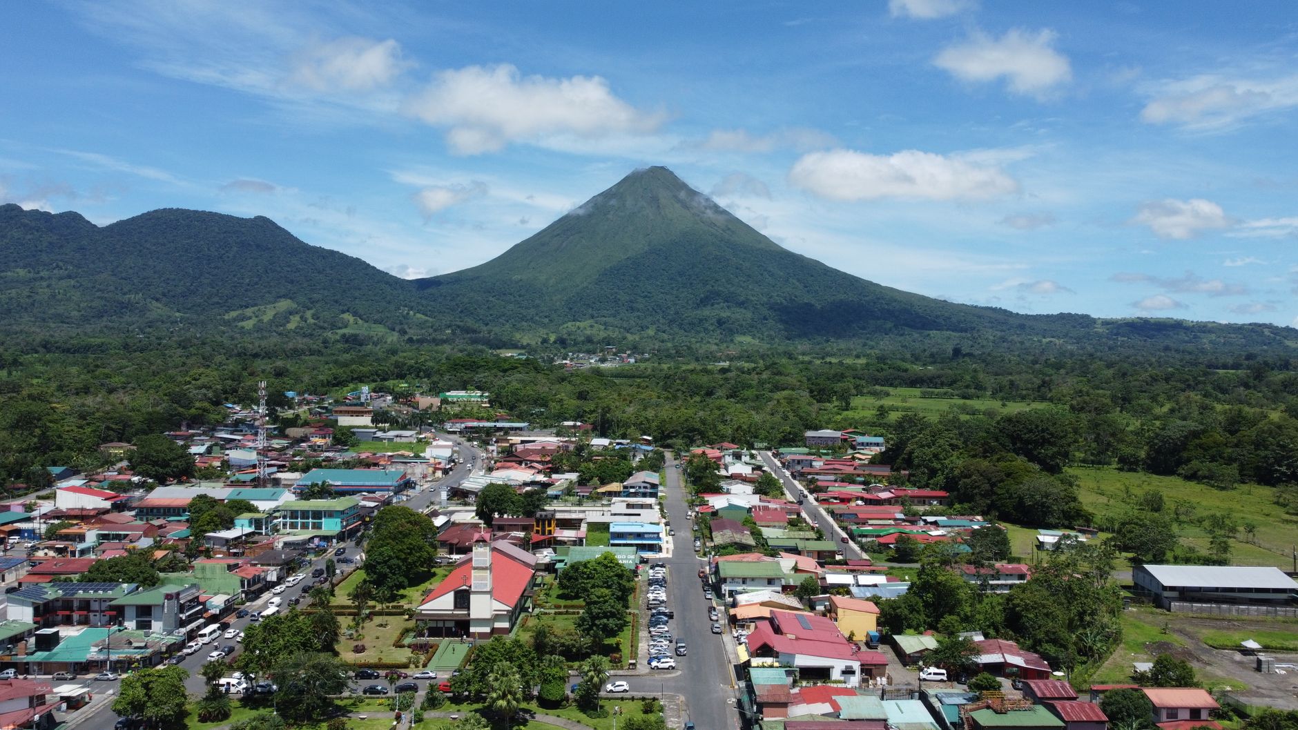
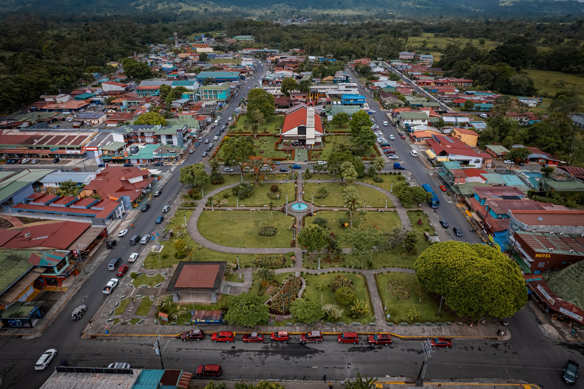
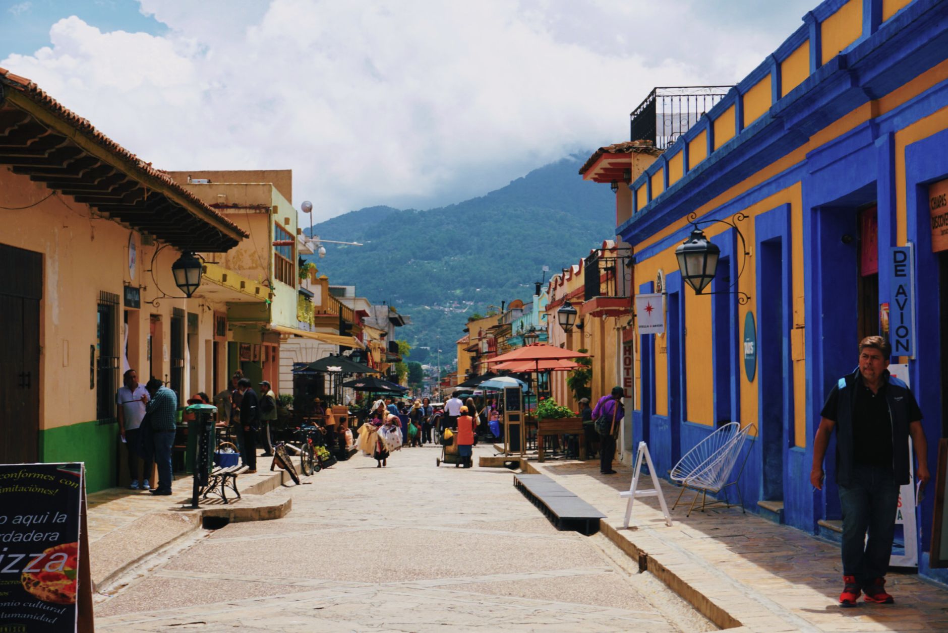
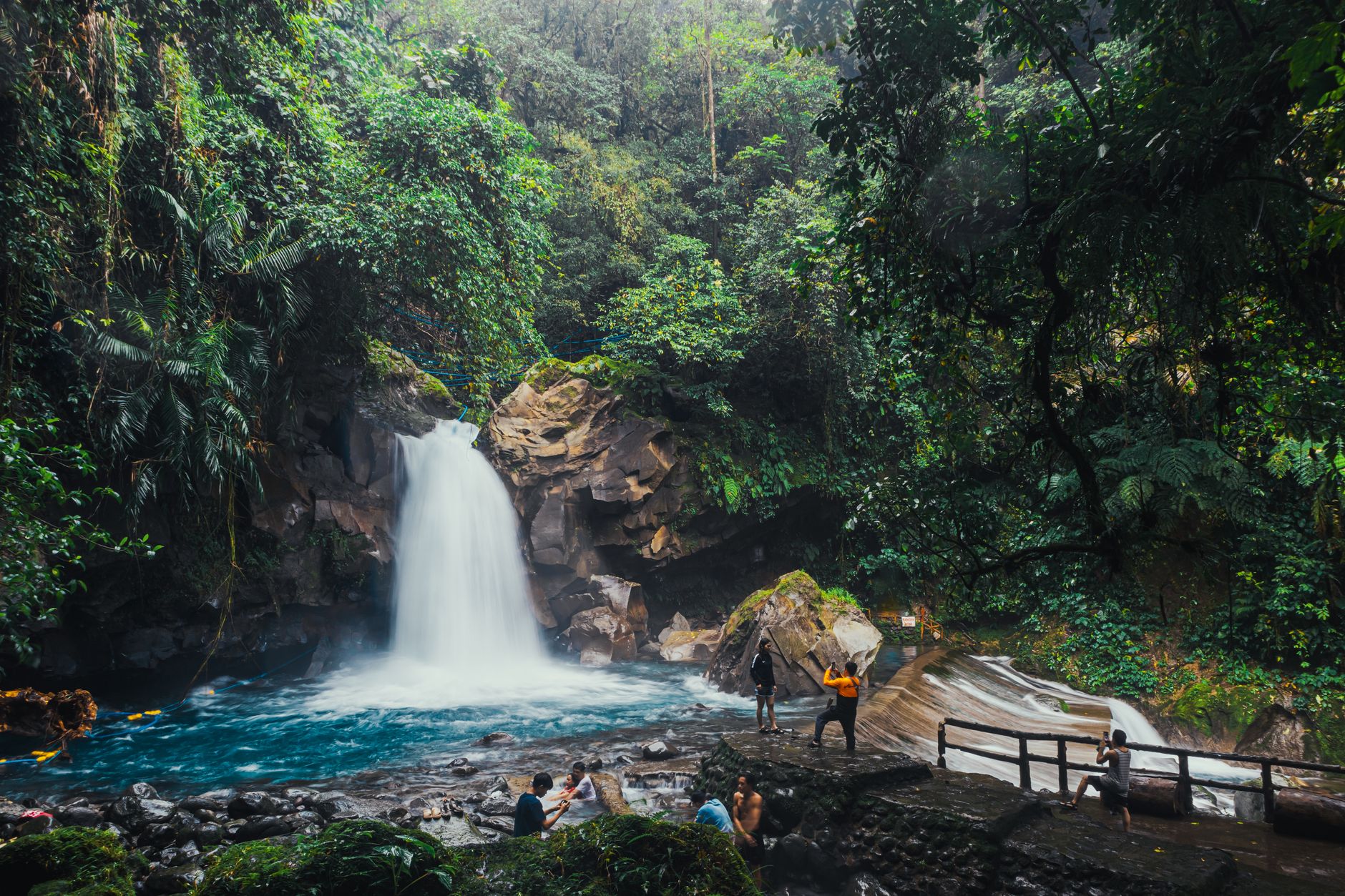
Stand anywhere near the center of La Fortuna and Arenal Volcano fills the horizon — a near-perfect cone that has been smoking and occasionally grumbling since a catastrophic 1968 eruption reshaped this corner of Costa Rica. The town itself is compact and walkable, its central park edged with a large church and garden beds, with local restaurants and family-run shops that close early and open again with the birds.
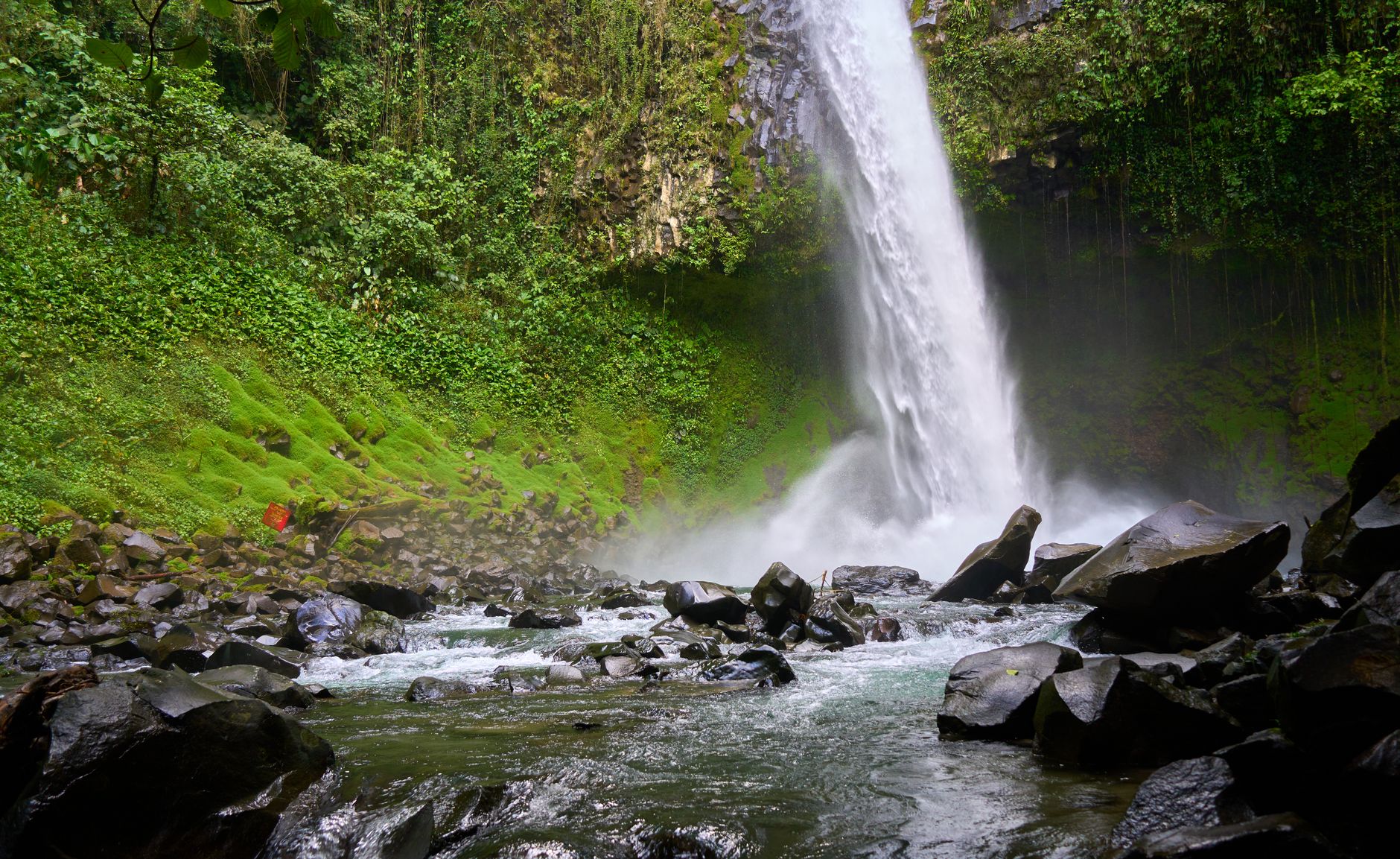
What draws people here is the concentration of landscape: a 70-metre waterfall carved in part by the long-dormant Chato Volcano next door, a reservoir lake built in 1979 that now anchors an entire western horizon, and a national park of 12,124 hectares where the trails wind through lava fields and secondary forest toward views that stop you mid-step.
How La Fortuna de San Carlos came to be
The area was originally called El Burío, settled in the mid-1930s by families moving out from Ciudad Quesada, Grecia, and Alajuela in search of farmable land. Among the first was Marcial Jarquín Bellorín, who worked rubber extraction alongside subsistence agriculture. The settlement was formally constituted on 5 February 1952, with founders including Elias Kooper, Alberto Quesada, and José Garro among others. Its name — La Fortuna, the fortune — referred to the fertility of the land, not to any luck with the volcano.
On 29 July 1968, Arenal erupted for three consecutive days, burying the villages of Tabacón, Pueblo Nuevo, and San Luis and killing 87 people. The disaster remade the region's identity. By the late 1970s and early 1980s, travelers began arriving specifically because of the active volcano, and tourism gradually became the area's main economy — one that today is still largely owned by local and national operators.
Who and what shaped it
People who shaped it
Landmark buildings
See La Fortuna de San Carlos in motion
Plan your visit
On the map
When to go
La Fortuna stays warm year-round, between 20°C and 26°C, with close to 12 hours of daylight in every month. The dry season runs December through April — February and March are the clearest and least humid — while June through October brings persistent rain and humidity that peaks around 82 percent in October; the volcano is more likely to hide in cloud during the wet months, though mornings often clear.
Right now
Background & history adapted from Wikipedia (CC BY-SA) · specs from Wikidata (CC0) · weather from Open-Meteo · map data © OpenStreetMap contributors · photos from Wikimedia Commons / Unsplash with per-image credit. No third-party reviews or social posts reproduced.