
Jacó
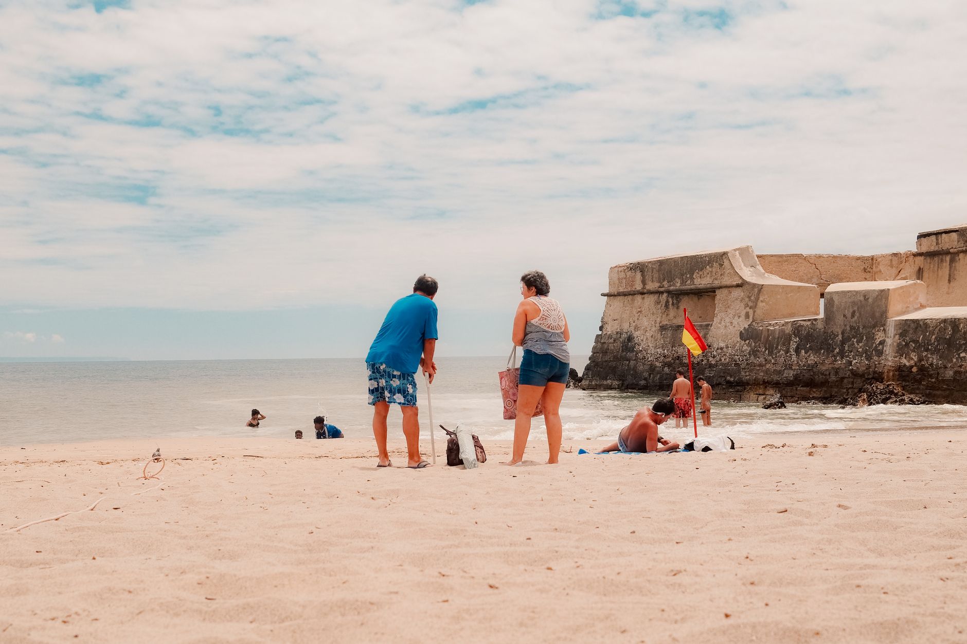
Jacó announces itself with a long gray-sand beach — four kilometers of it — backed by palms and green hills that roll straight down to the Pacific. The surf here is consistent enough to have built an entire economy around boards and boats, and the town's main artery, Pastor Díaz Avenue, runs parallel to the water with hotels, open-air restaurants and surf shops stacked shoulder to shoulder.
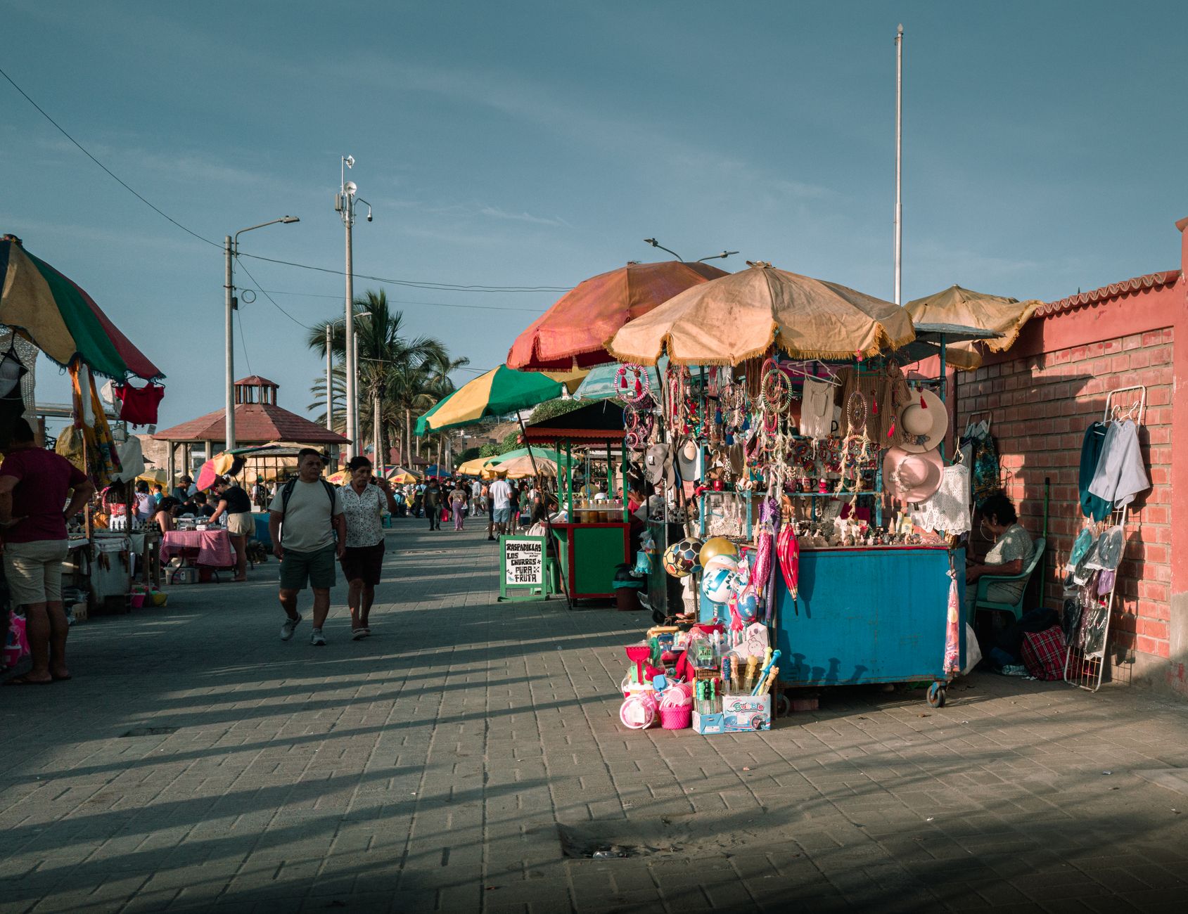
This is the Central Pacific's most accessible coastal town, close enough to San José for a weekend escape but with genuine infrastructure: sportfishing marinas, a Friday farmers' market selling local honey and cheese, and a growing cluster of restaurants that go well beyond rice and beans.
💛 What travellers fall for
People who come back tend to anchor their trips to the feria — Friday and Saturday mornings at the farmers' market — then spend afternoons at Playa Hermosa, just south, where the surf is a step up from Jacó's beach. Taxis between the two cost almost nothing. Rent a bike for the day and you won't need much else.
How Jacó came to be
The area around Jacó was home to the Huerta people long before it had a name on a map. It became an official district on 16 September 1965, carved out of Puntarenas — a bureaucratic act that preceded the tourism wave by decades.
The early 1990s brought Canadian package tourists, then surfers and anglers from further afield, and Jacó became Costa Rica's fastest-growing town. The construction of Los Suenos Resort and Marina in the early 2000s gave sportfishing a formal base, and when Route 27 opened in 2010, cutting the drive from San José to under two hours, the pace of change accelerated again.
Who and what shaped it
Landmark buildings
See Jacó in motion
Plan your visit
On the map
When to go
Temperatures barely move — around 29°C year-round — but the rain calendar matters. The dry season (December to April) delivers reliable sun and the strongest surf. From May through November, expect heavy afternoon downpours, greener jungle, and noticeably lower prices.
Right now
Background & history adapted from Wikipedia (CC BY-SA) · specs from Wikidata (CC0) · weather from Open-Meteo · map data © OpenStreetMap contributors · photos from Wikimedia Commons / Unsplash with per-image credit. No third-party reviews or social posts reproduced.