
Isla Verde
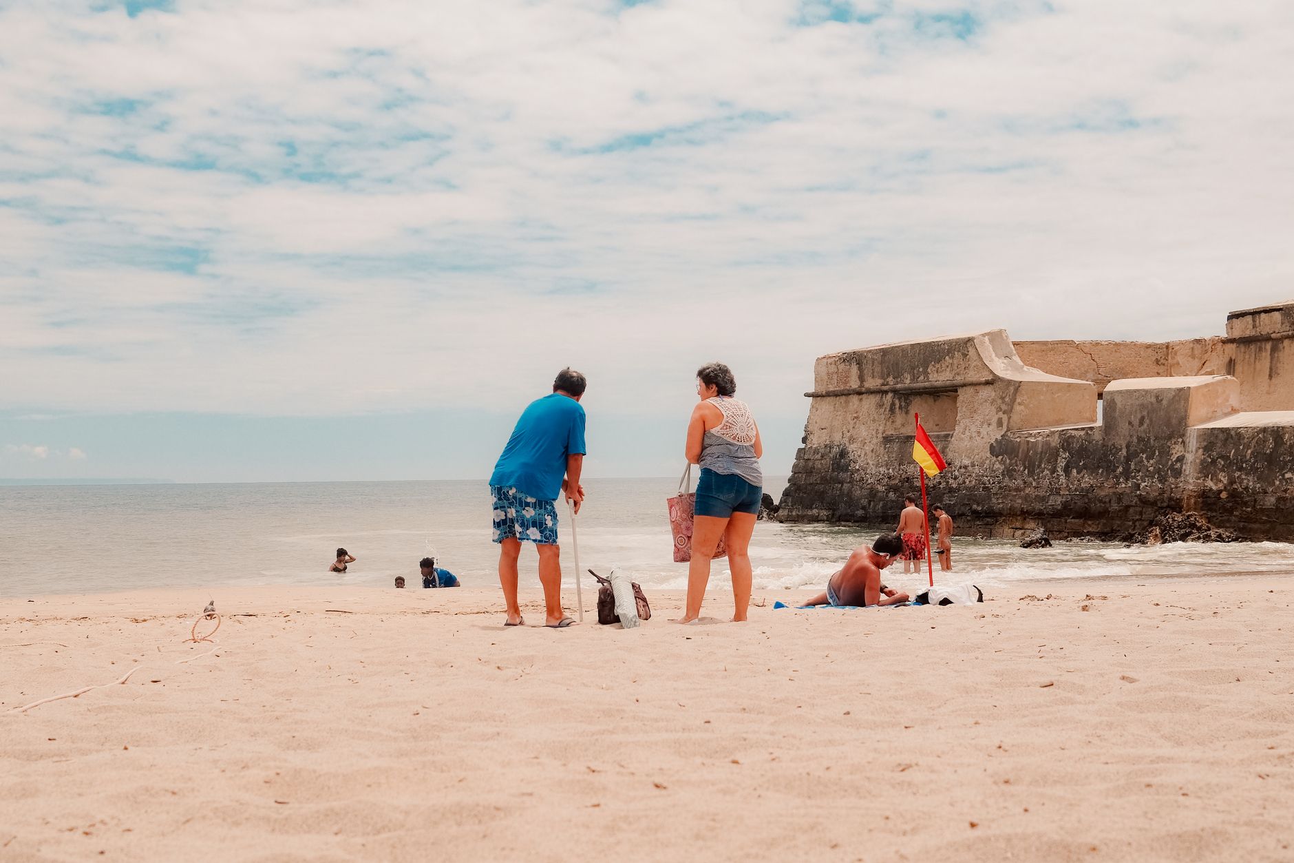
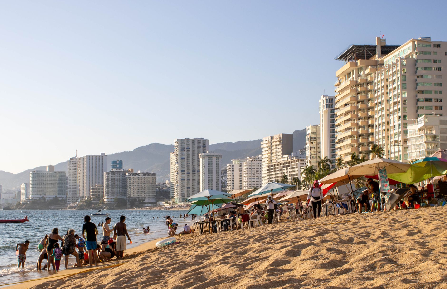
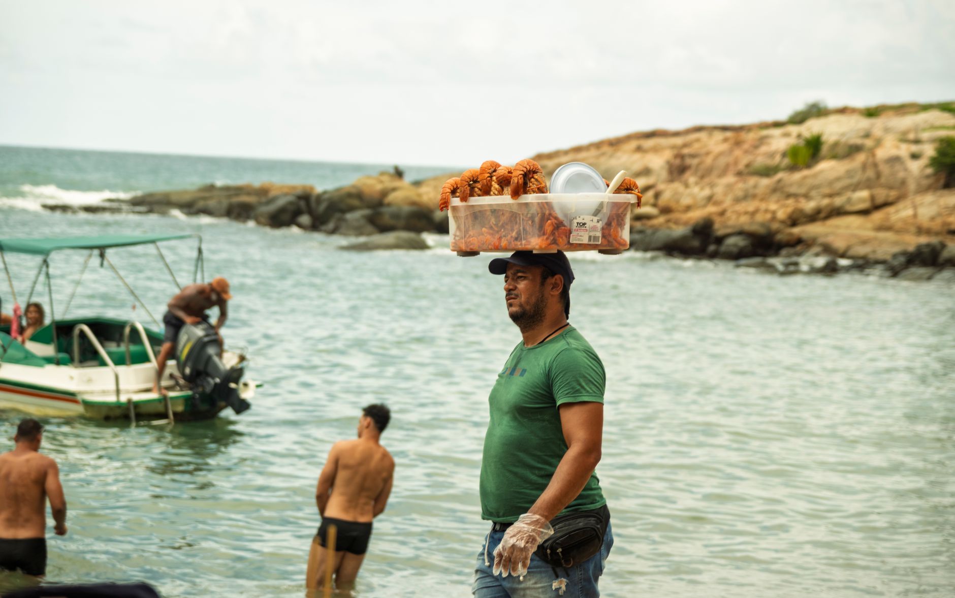
Isla Verde is where you land — literally. Luis Muñoz Marín International Airport sits at its edge, and within ten minutes of collecting your bag you can be standing on a stretch of Atlantic sand with a cold drink in hand. That proximity is the whole character of the place: resort hotels, beach kiosks, and coral reefs compressed into a narrow strip between the runway and the sea.
Three beaches divide the coastline — Pine Grove draws surfers, Alambique runs quieter, and Balneario de Carolina comes with lifeguards and parking. Offshore, the Isla Verde Reef Marine Reserve shelters elkhorn coral, manatees, and nesting sea turtles. The end nearest San Juan gets crowded and loud; the quieter stretches, especially during turtle season, feel like a different place entirely.
💛 What travellers fall for
Regulars tend to stake out Pine Grove early and stay put. The kiosks near the main entrance are worth the detour for alcapurrias and fresh coconut water. If you're staying mid-strip, almost everything — pharmacy, restaurant, the beach itself — is within a ten-minute walk, which means you rarely need a car once you've checked in.
How Isla Verde came to be
Before the hotels arrived, Isla Verde was mangrove wetland and fishing settlement. The transformation came fast. Puerto Rico's Operation Bootstrap, launched in the late 1940s under Governor Luis Muñoz Marín, drew industrial and tourism investment to the island, and Isla Verde became the coastal showpiece of that push. Hotels rose along the beachfront through the 1950s and into the 1970s, their architecture running to breeze blocks, shaded porticoes, and pool decks that dissolved into the ocean view.
The anchor of that era is the Fairmont El San Juan Hotel, opened February 1, 1958 — originally built by Pan American World Airways to house flight crews before expanding into a full resort. Designed by Morris Lapidus in his signature Mid-Century Modern register, it underwent a $60 million renovation in 2017. The neighborhood also carries a quieter layer of history: a large Cuban exile community gathered here over the decades, centered on Casa Cuba, Puerto Rico's main Cuban social club.
Who and what shaped it
People who shaped it
Landmark buildings
See Isla Verde in motion
Plan your visit
On the map
When to go
Temperatures stay warm year-round, with highs around 89°F and lows rarely dipping below 72°F. December through April is drier and more comfortable for beach time; summer brings humidity, afternoon rain, and the possibility of tropical storms.
Right now
Background & history adapted from Wikipedia (CC BY-SA) · specs from Wikidata (CC0) · weather from Open-Meteo · map data © OpenStreetMap contributors · photos from Wikimedia Commons / Unsplash with per-image credit. No third-party reviews or social posts reproduced.