
Irrigation Canal Network
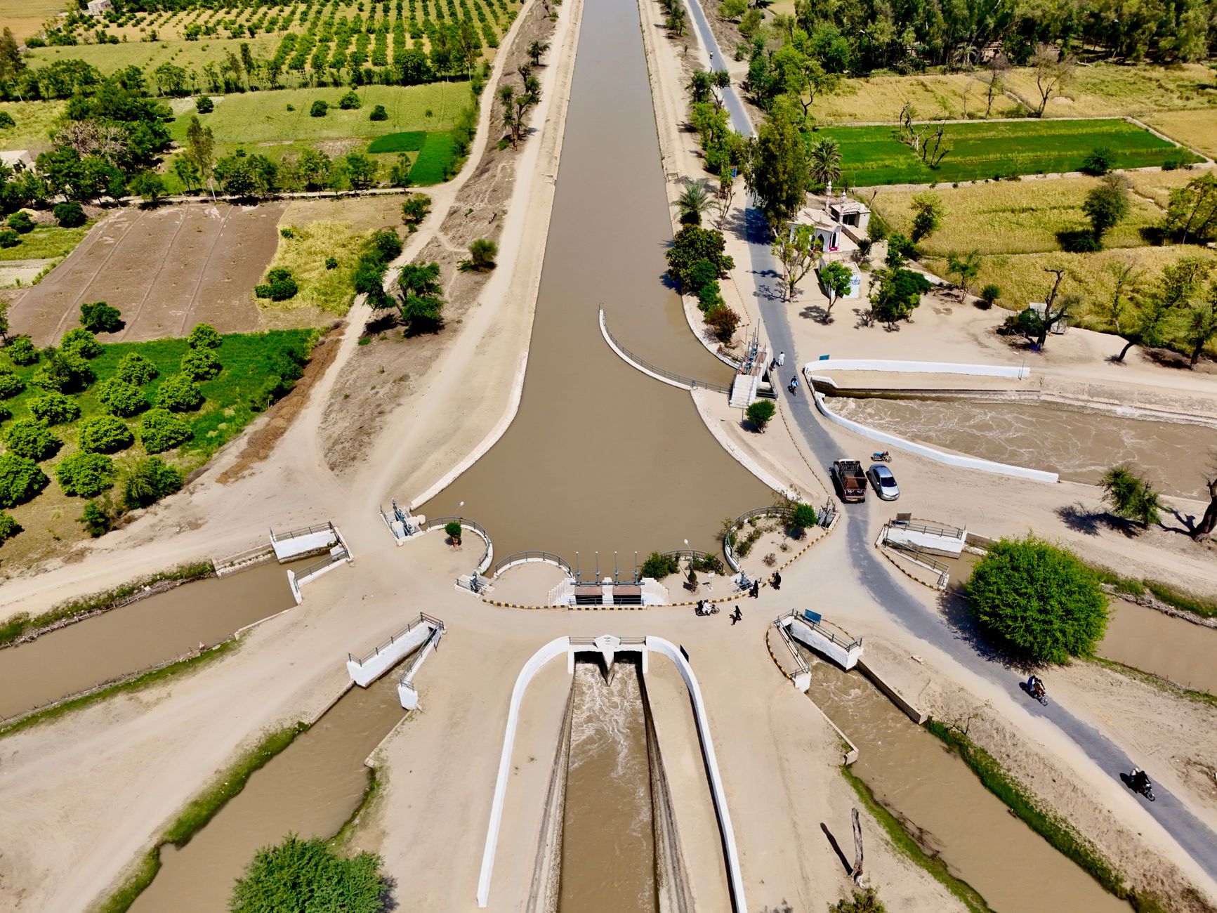
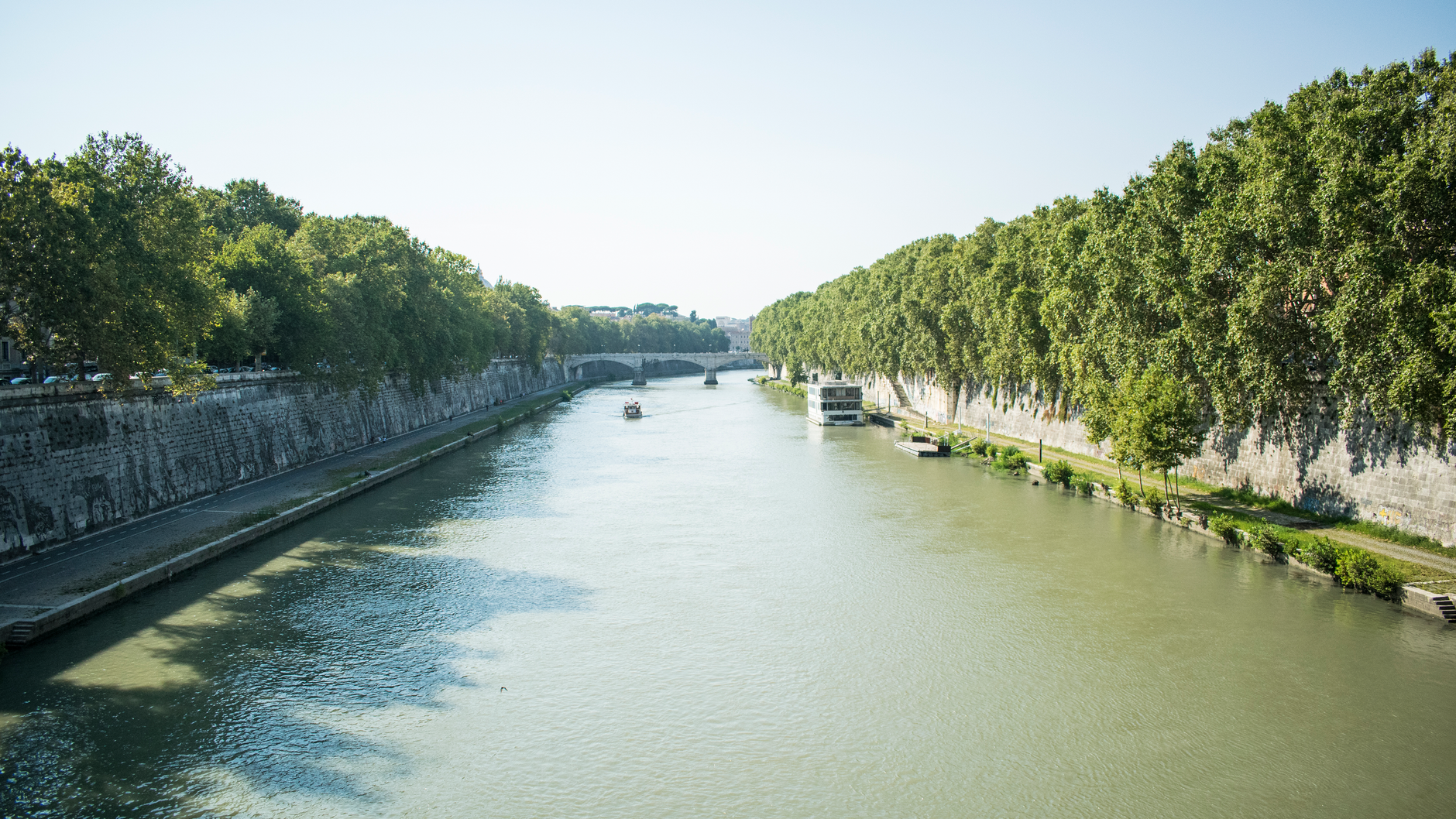
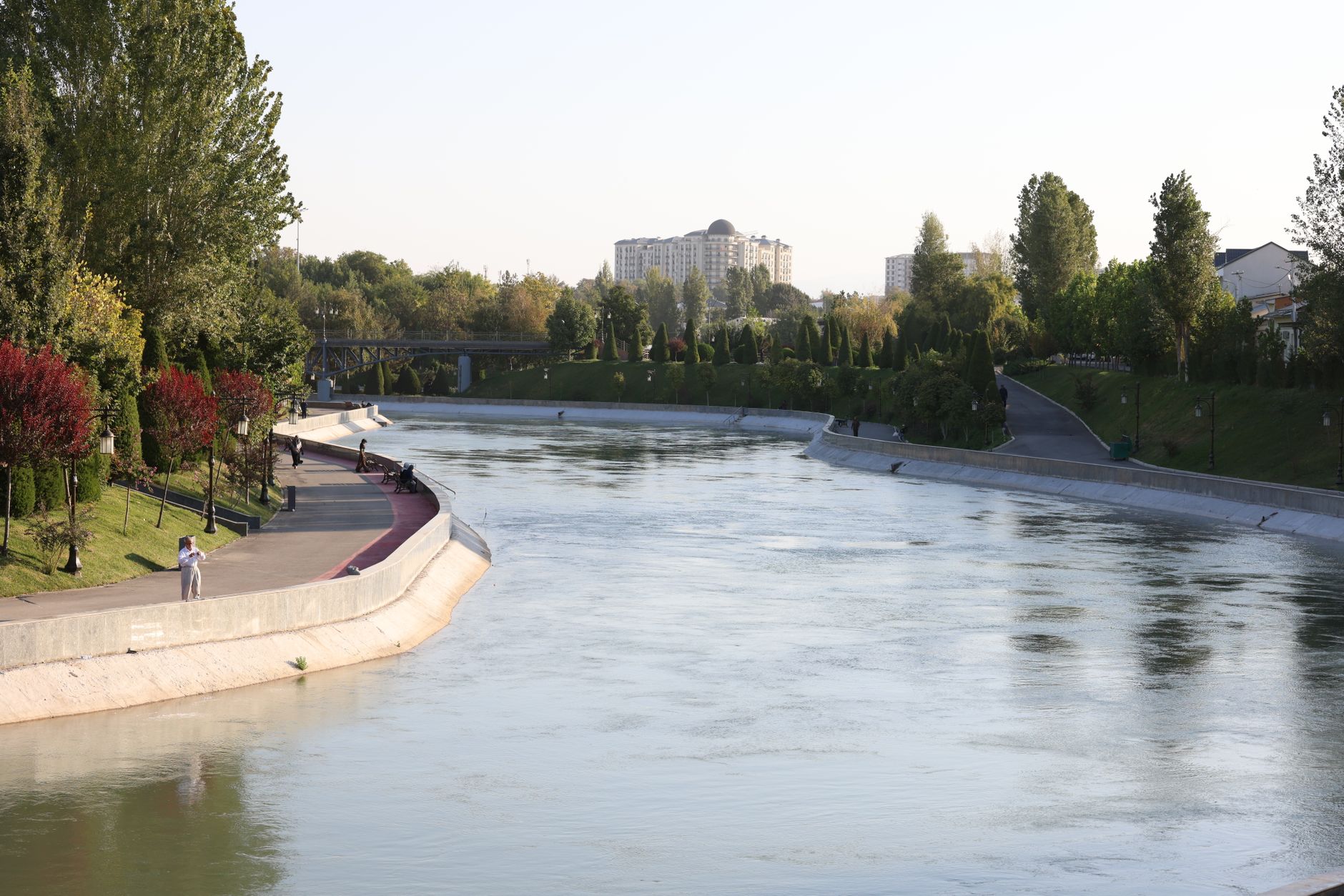
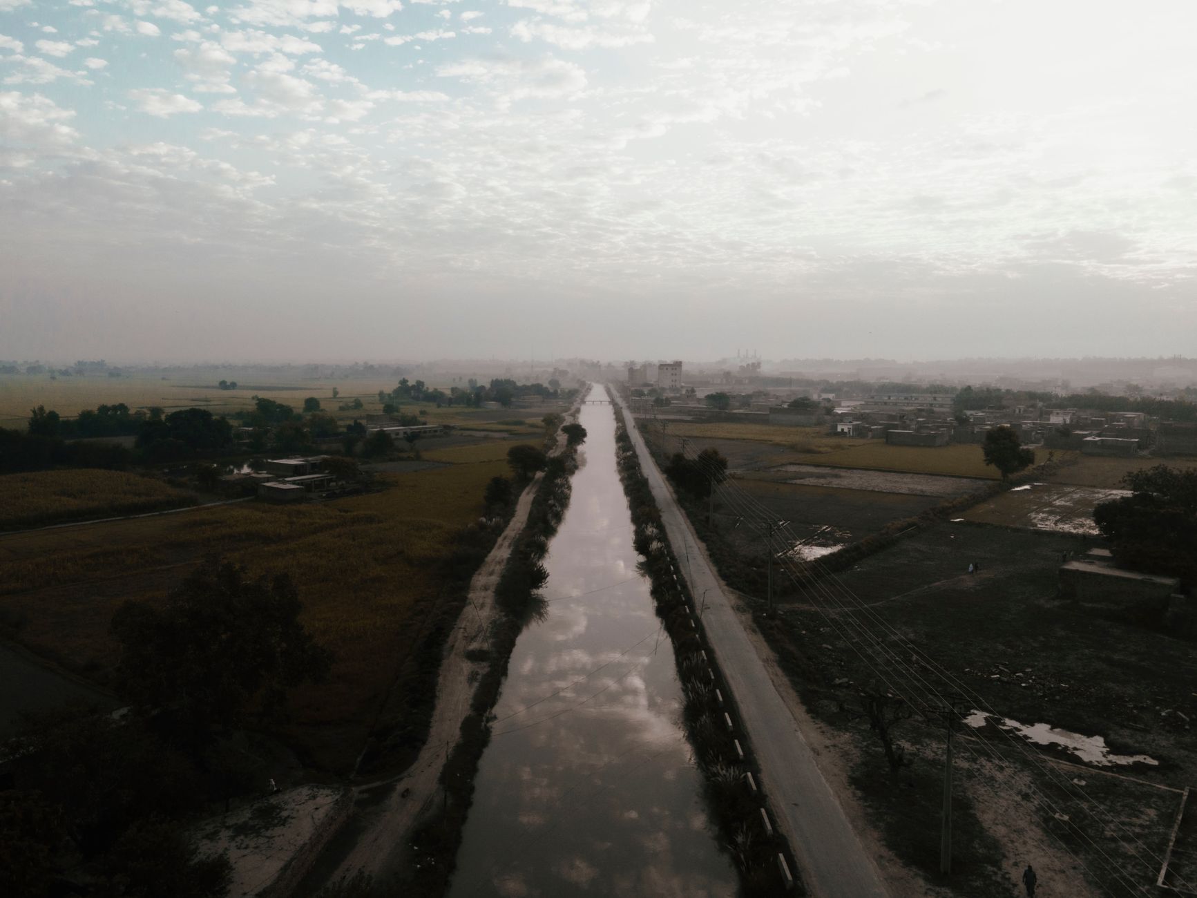
Water has been moving through the Agdal Gardens since the twelfth century, pulled down from the High Atlas by a network of underground khettara channels that tap the Ourika River valley some thirty kilometres to the south. The canals that cross the gardens today are part of that same system — gravity-fed, largely invisible, surfacing only in shallow runnels between the olive, orange, and pomegranate groves before filling the two great reservoirs.
Walking the canal lines means following the logic of the whole garden: everything here grows because of this water. The channels are modest in themselves — stone-edged, unhurried — but tracing them gives you a way to read 400 hectares that a straight promenade does not.
💛 What travellers fall for
People who come back tend to walk the canal edges early, before the sun is fully up and the groves still smell of damp earth. Following the water from the smaller Al-Gharsiyya basin toward the Grand Basin is the clearest way to understand the garden's layout — more useful than any map.
How Irrigation Canal Network came to be
The water infrastructure predates the gardens themselves. The Almoravid sultan 'Ali ibn Yusuf initiated the khettara system in the early twelfth century to bring groundwater and seasonal runoff into the city. When the Almohad caliph 'Abd al-Mu'min founded the gardens in 1157, he inherited that hydraulic foundation and built on it, with the engineer Ahmad ibn Muhammad ibn Milhan — from Al-Andalus, of Berber origin — designing the layout. The Dar al-Hana reservoir, capable of holding 83,000 cubic metres, is thought to date from the reign of Abu Ya'qub Yusuf (1163–1184).
The canals fell into disrepair over subsequent centuries and were cleared and restored between 1834 and 1844 under Muhammad IV, who also replanted the groves. The entire garden, channels included, was listed as a UNESCO World Heritage Site in 1985.
Who and what shaped it
People who shaped it
Landmark buildings
See Irrigation Canal Network in motion
Plan your visit
On the map
When to go
October through early December and February through April are the most comfortable months to walk the canal paths — warm enough to linger, cool enough to cover ground. Midsummer temperatures regularly reach 36–37°C, and the lack of shade along the water channels makes a July visit genuinely taxing.
Right now
Background & history adapted from Wikipedia (CC BY-SA) · specs from Wikidata (CC0) · weather from Open-Meteo · map data © OpenStreetMap contributors · photos from Wikimedia Commons / Unsplash with per-image credit. No third-party reviews or social posts reproduced.