
Huehuetenango
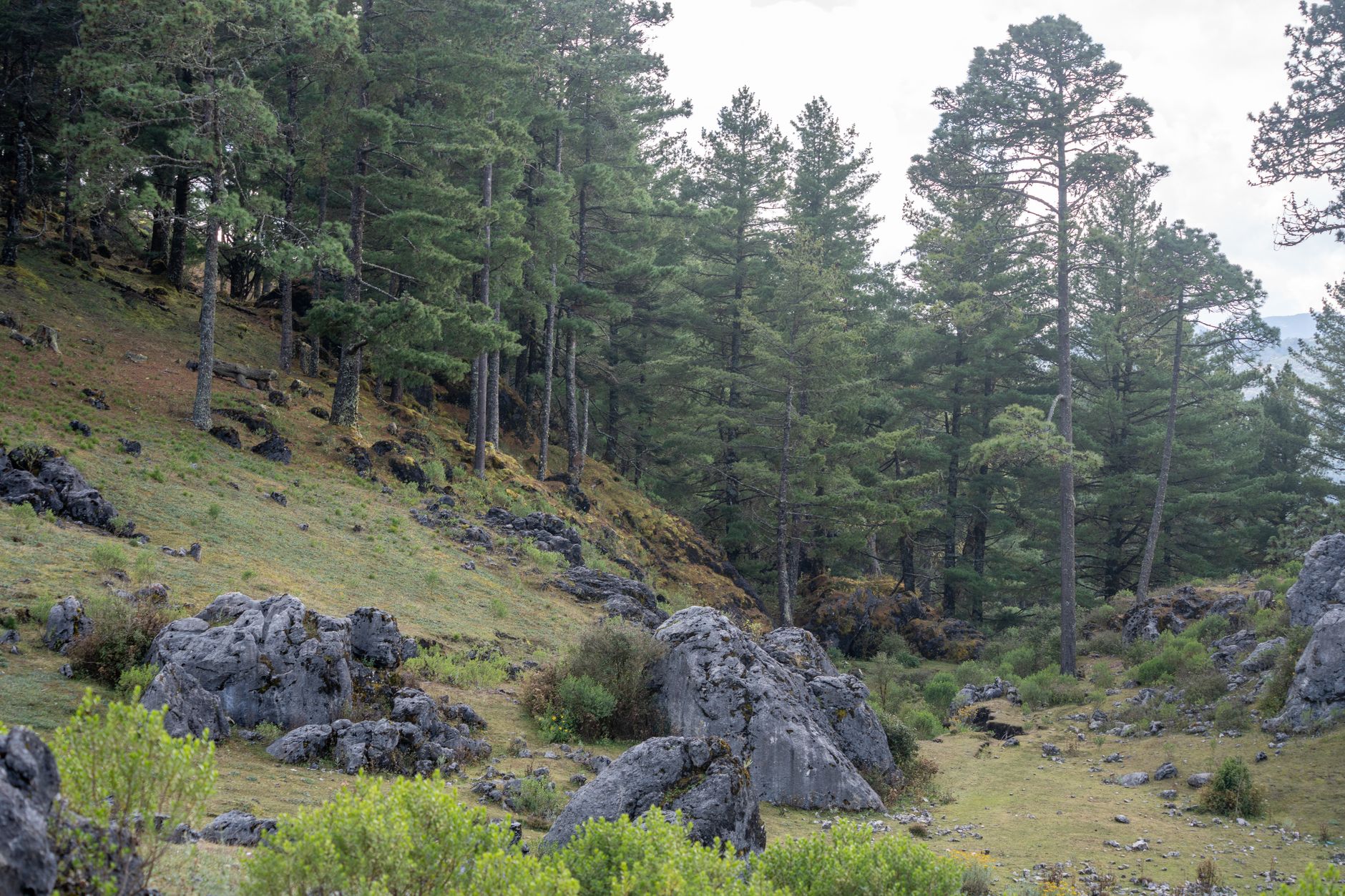
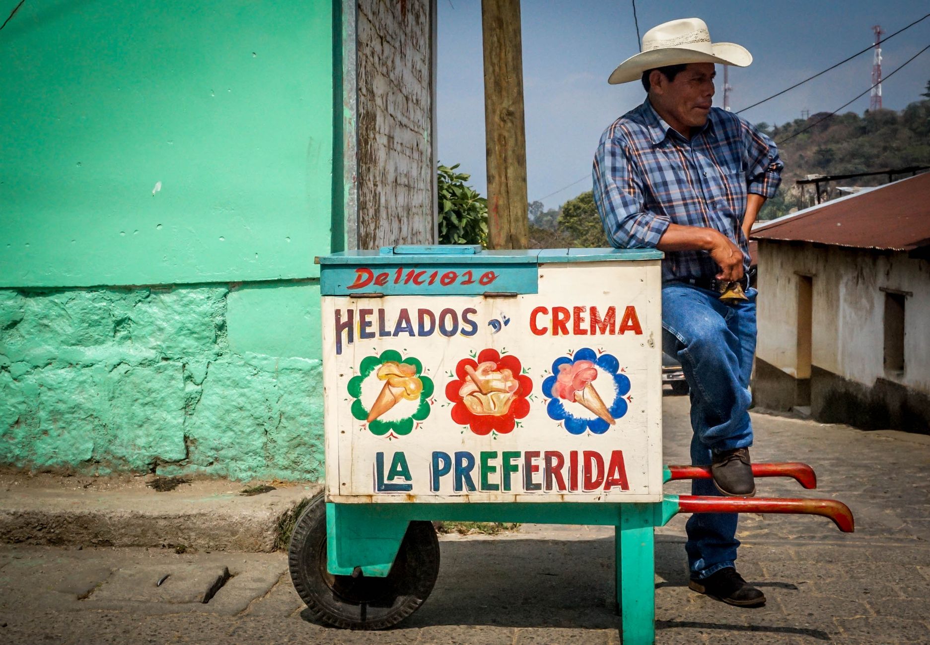
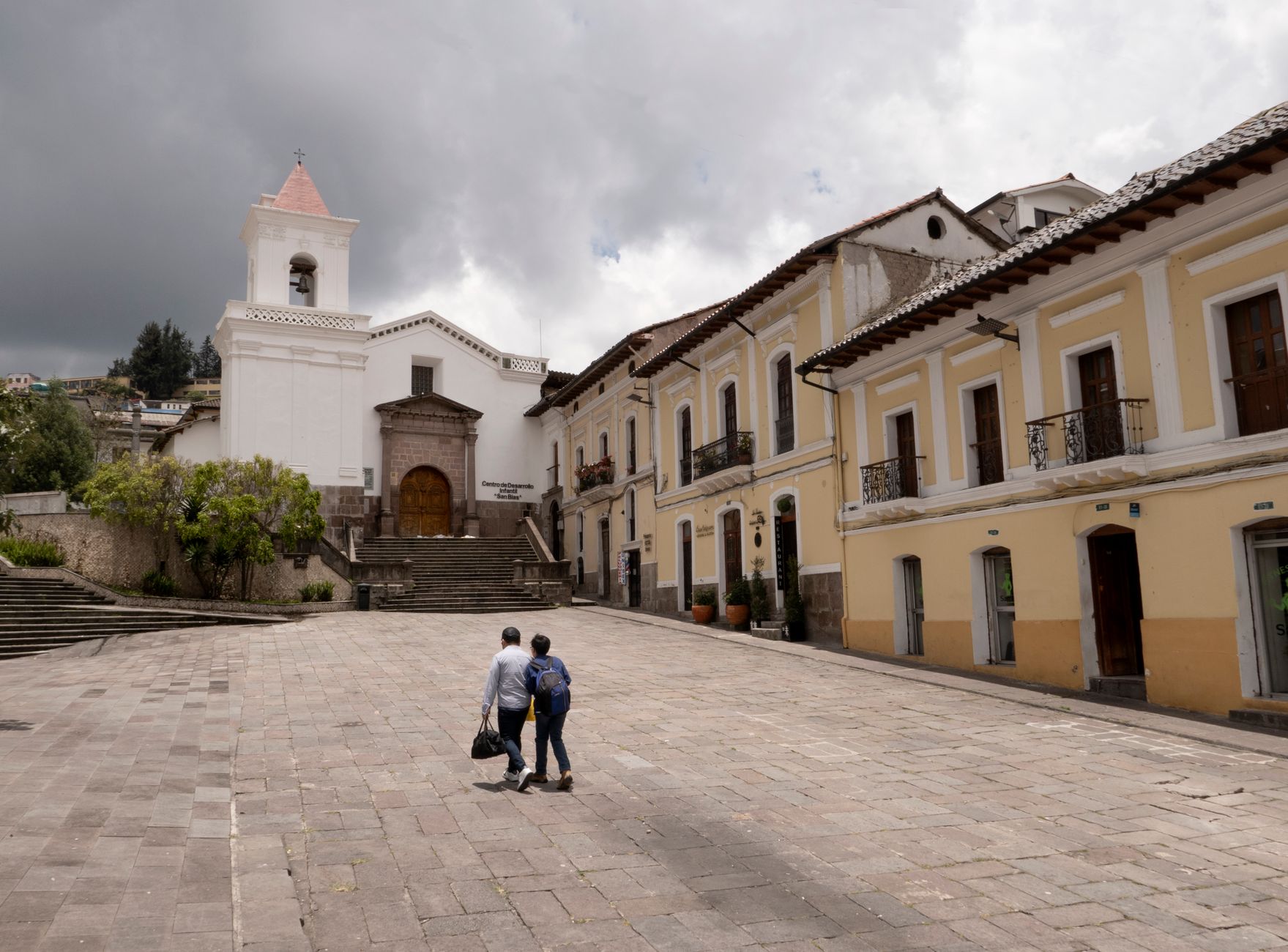
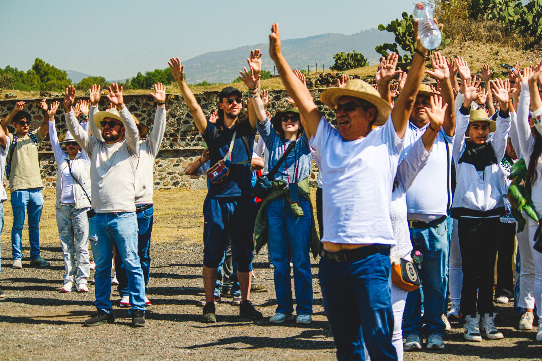
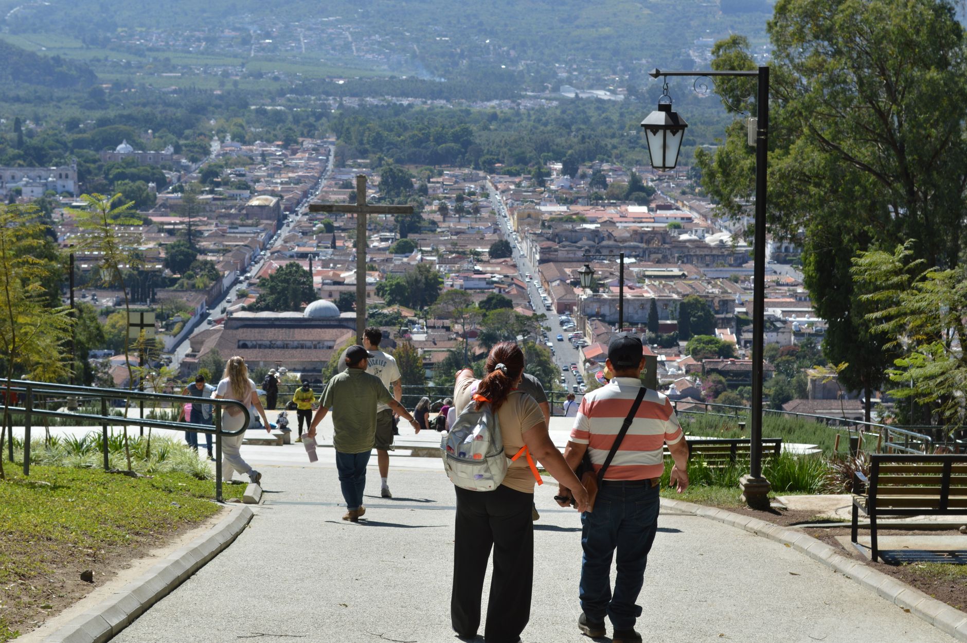
Locals call it Huehue, and that shorthand fits — familiar, a little worn around the edges, unapologetically itself. The departmental capital sits in a valley ringed by the Cuchumatanes mountains, the highest non-volcanic range in Central America, and its daily market draws traders from dozens of surrounding villages, each community still wearing its own distinct woven textiles. This is not a city that performs for visitors.
Huehuetenango is the last departmental capital on the Pan-American Highway before the Mexican border, which gives it a certain frontier logic: a transit hub that has quietly accumulated layers. Nine distinct Maya ethnic groups — Mam, Q'anjob'al, Chuj, Jakaltek and five others — each with their own language, make this one of the most linguistically dense corners of Guatemala.
How Huehuetenango came to be
The name itself is a clue: Huehuetenango means 'place of the ancients' in Nahuatl, the language of the Indigenous allies Gonzalo de Alvarado brought with him when he conquered the Mam kingdom in 1525. The Mam had called their settlement Xinabajul; their capital, Zaculeu — 'White Land' — had been occupied for roughly a thousand years before the Spanish arrived. Alvarado's conquest folded the region into the colonial order, and it spent its early independent years as part of Totonicapán department before Huehuetenango was formally established as its own province on 8 May 1866, under President Vicente Serna Sandoval.
The city that grew around the Parque Central carries that layered past in its architecture: a neoclassical cathedral dating to 1874 anchors the southern edge of the square, while Zaculeu's plastered ruins — restored controversially in the 1940s, the original stones coated over — sit just five minutes outside town.
Who and what shaped it
People who shaped it
Landmark buildings
See Huehuetenango in motion
Plan your visit
On the map
When to go
Huehuetenango has a subtropical highland climate: daytime highs reach around 25°C in April and stay in the low-to-mid twenties for much of the year, but nights are cold, often dropping to 8°C or below, and at higher elevations overnight frost is common. Come between November and April for dry, clear days; from May onwards, June alone averages 290 mm of rain across 23 wet days.
Right now
Background & history adapted from Wikipedia (CC BY-SA) · specs from Wikidata (CC0) · weather from Open-Meteo · map data © OpenStreetMap contributors · photos from Wikimedia Commons / Unsplash with per-image credit. No third-party reviews or social posts reproduced.