
Hochfelln
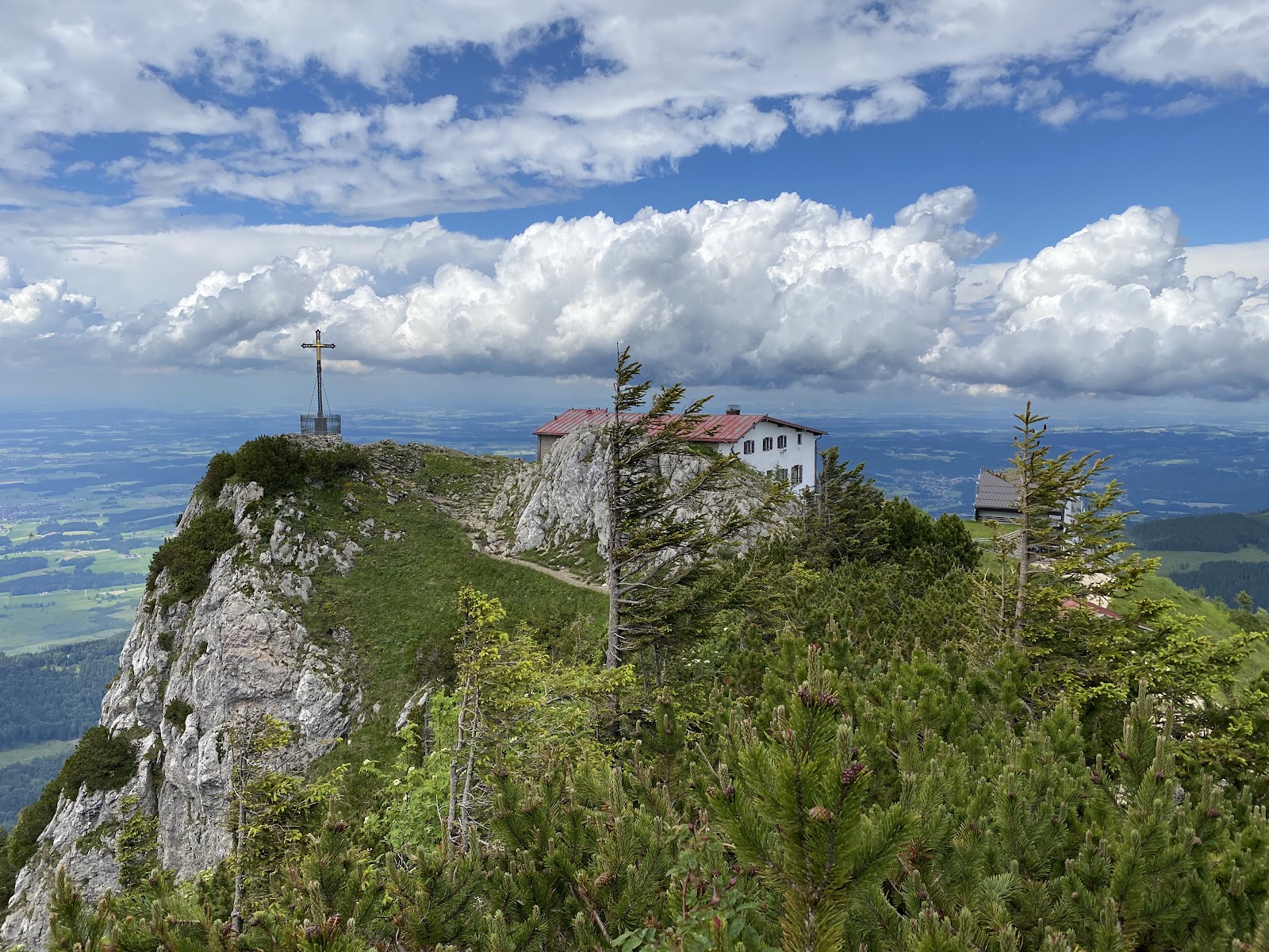
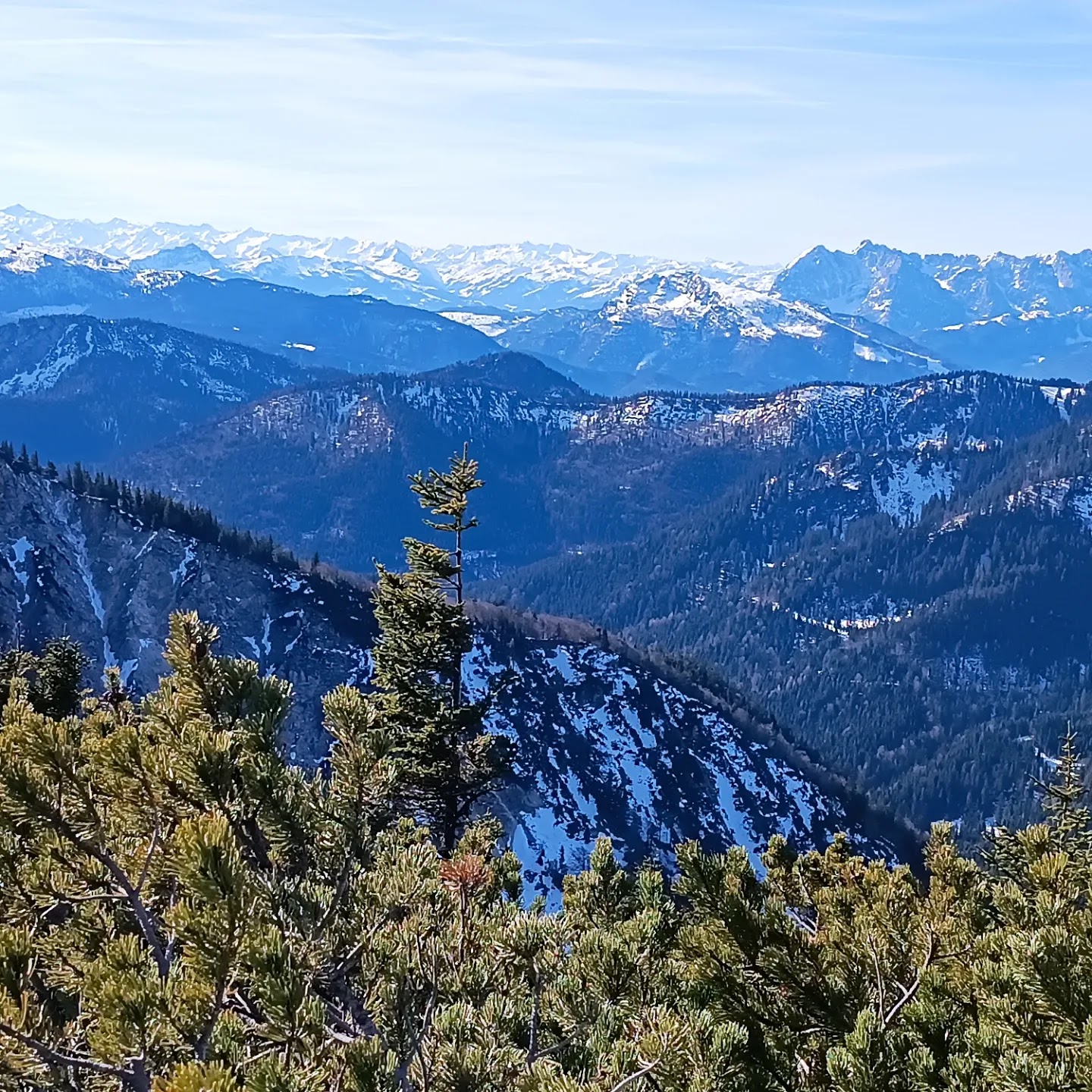
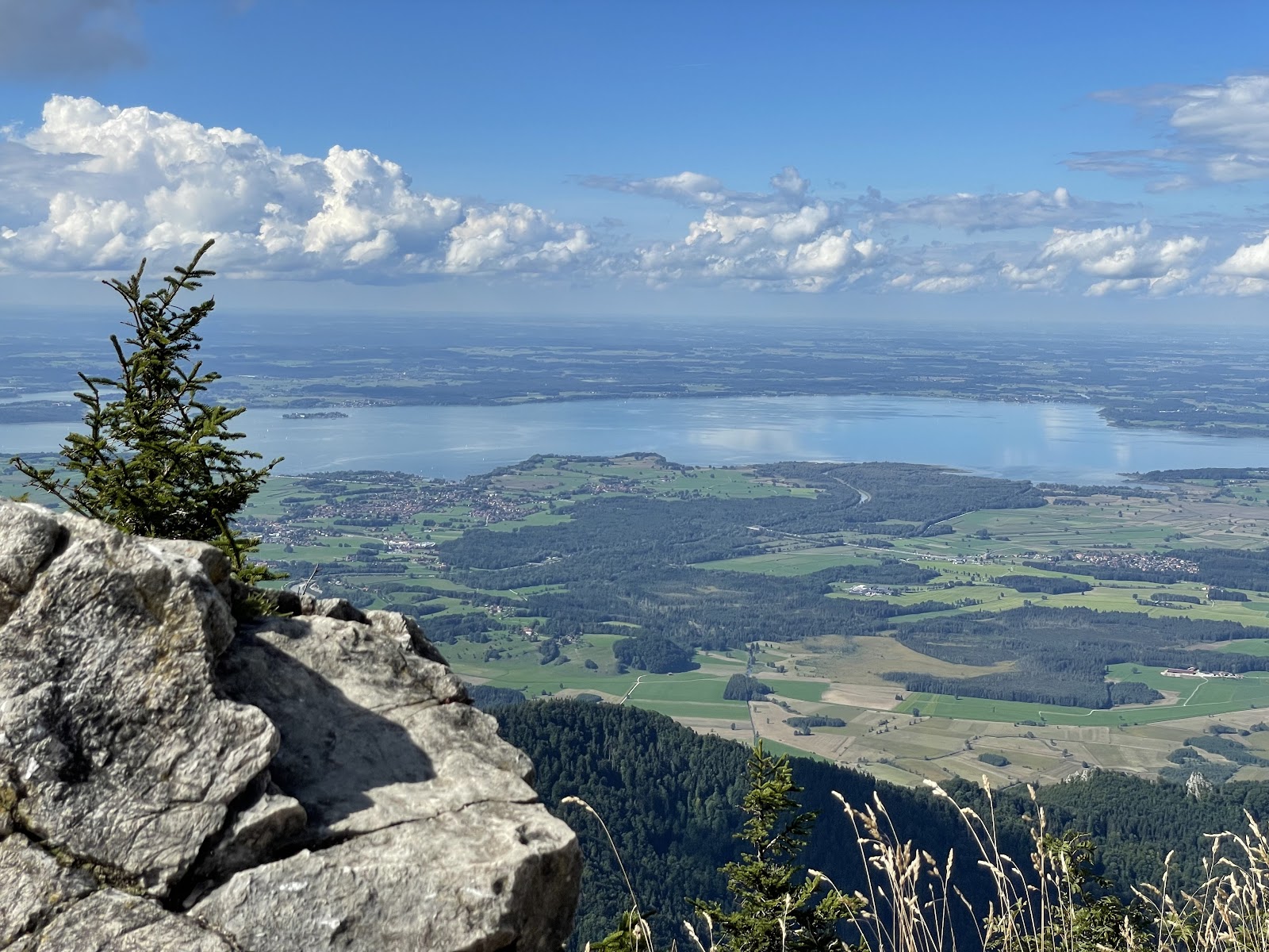
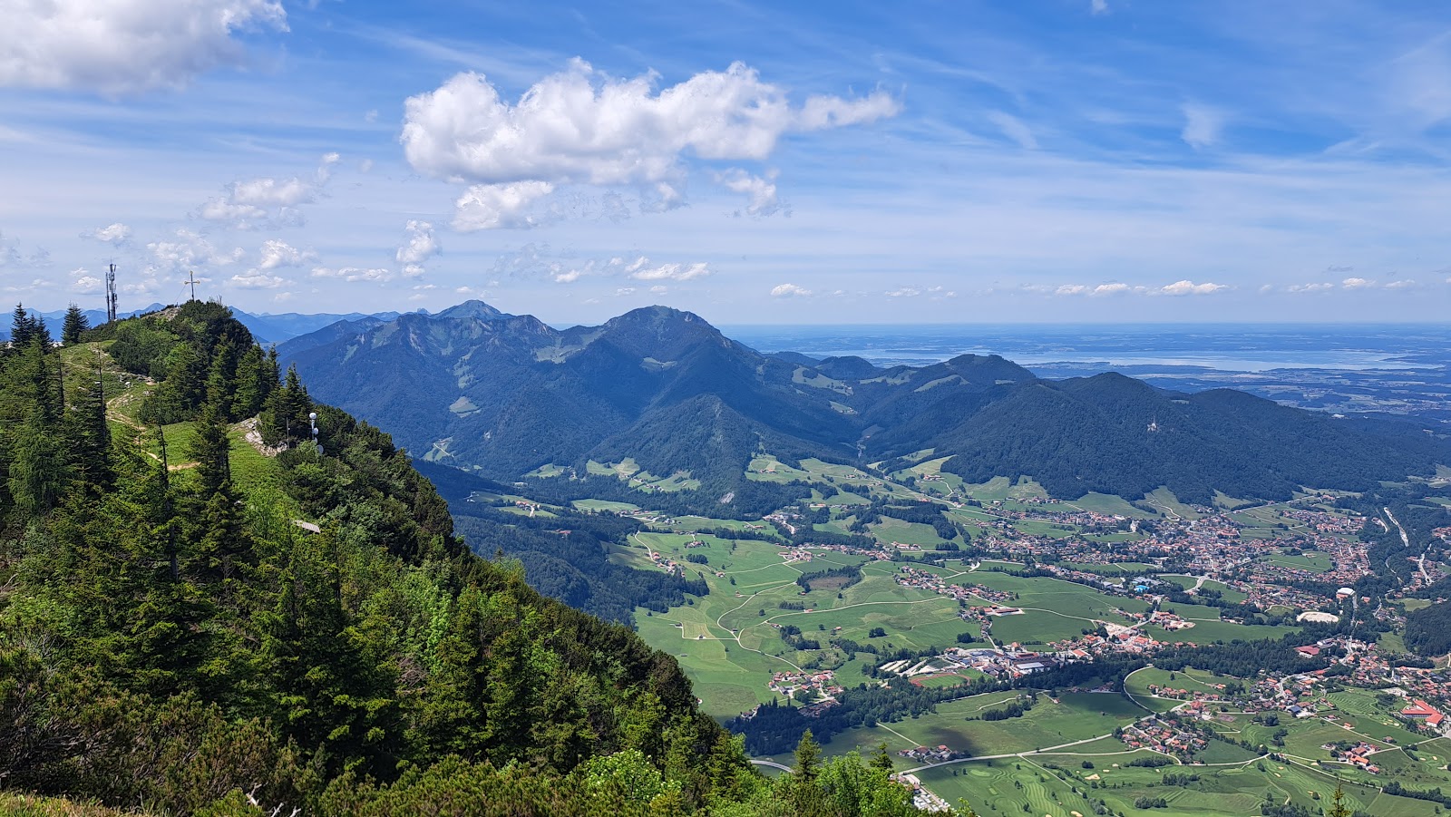
At 1,674 metres, Hochfelln earns its nickname as the viewing pulpit of the Chiemgau. On a clear day, more than 200 Alpine peaks spread out in every direction, and the Chiemsee — the so-called Bavarian Sea — glints far below to the north. It's the kind of panorama that makes you reach for your phone, then quietly put it away.
The summit holds more than a view. There's the Taborkirche chapel, the Hochfellnhaus restaurant, and a seven-metre iron cross that was carried up here in pieces by hand long before any cable car existed. The mountain rewards both the committed hiker and the visitor who simply rides up for lunch.
💛 What travellers fall for
People who return tend to split the journey: hike up through the Bachschmiedkaser and Bründlingalm stops — both offer refreshments and a reason to pause — then take the cable car back down. If the Thorau Almen pastures are grazed (June through September), the traditional alm meals at those stops are worth timing your ascent around.
The story behind Hochfelln
In 1886, citizens of the Chiemgau region hauled a seven-metre, 3.5-tonne iron cross up to the summit piece by piece — no cable car, no machinery — as an act of gratitude to King Ludwig I. The effort alone tells you something about the place's hold on the people who live below it.
A regional priest later proposed adding a chapel and a mountain refuge to the summit, and the Taborkirche and Hochfellnhaus eventually followed. The cable car — a two-section system taking roughly 15 minutes in total — opened around 1970, making the panorama accessible to those who couldn't manage the four-to-five-hour round hike. The summit cross still stands as it was placed, unchanged.
Good to know
The cable car runs from the valley station near Bergen (Maria-Eck-Straße 8) daily 9:00–17:00, with departures roughly every 20 minutes. A one-way descent ticket from summit to middle station is €13.50. April through October is the reliable hiking window. Parking at Steinbergalm costs €3, refundable against a food order.
The summit runs noticeably cooler and windier than the valley, even in midsummer — a light layer and something windproof are worth packing whatever the forecast says below. Snow can linger into spring; the most reliable window for hiking is April through October.
Where is Hochfelln?
More tickets & tours for Hochfelln
Book directly at the provider
What travellers say about Hochfelln
On one side a beautiful view of the Alps and on the other side a view of the Chiemsee, with the Wagingersee visible in the background. Easy walk from this parking lot (free): 47.7514182N, 12.6291168E along Wanderweg 66 Hochfelln, past the river and the waterfall. The elevation gain is 1000 metres, total route length 7 kilometres, about 3 hours. We walked completely alone for the whole walk, there was no one else around. Watch out for the signposted Maximiliansweg (Beyern), it is in the part after this signpost 47.7574844N, 12.5864965E towards Rupholding is very dangerous. It leads up a steep cliff, the path is cut into the rock, only 20 centimetres wide. There is nothing to hold on to, the abyss below the path is extremely deep. A very, very dangerous place. Completely impassable for dogs. I recommend avoiding it and taking the nicer Wanderweg 66 Hochfelln. It is longer but easy and offers beautiful views of the countryside.
Beautiful mountain top with an amazing view of the Alps. A 2 stage cable car takes you all the way to the top or you can also hike up. Good place for paragliding - solo or tandem.
Its a cool mountain to climb, one can use the mountain lift to either go halfway or full way. With 4hours up and 4hours down, it can be a bit steep at the top but the way down is very relaxing and goes quite fast. Its better to drop off at Bergen and then walk about 15-20minutes to the mountain bottom. Its clever to take good shoes, and light bags.
1674 metres we can go by cable-car
Frequented a lot. Good for inexperienced hikers.
More of Ruhpolding
Discover where to stay, what to do and the best deals for your trip.
Explore Ruhpolding →More attractions in Ruhpolding
All of Ruhpolding →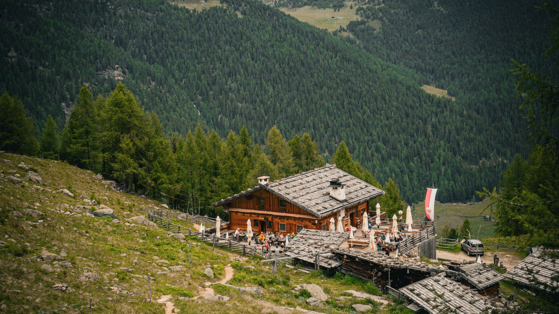
Background adapted from Wikipedia (CC BY-SA) · map data © OpenStreetMap contributors · ratings & place photos via Google · other photos with per-image credit. Ticket links may earn us a commission at no extra cost to you.