
Guatemala City
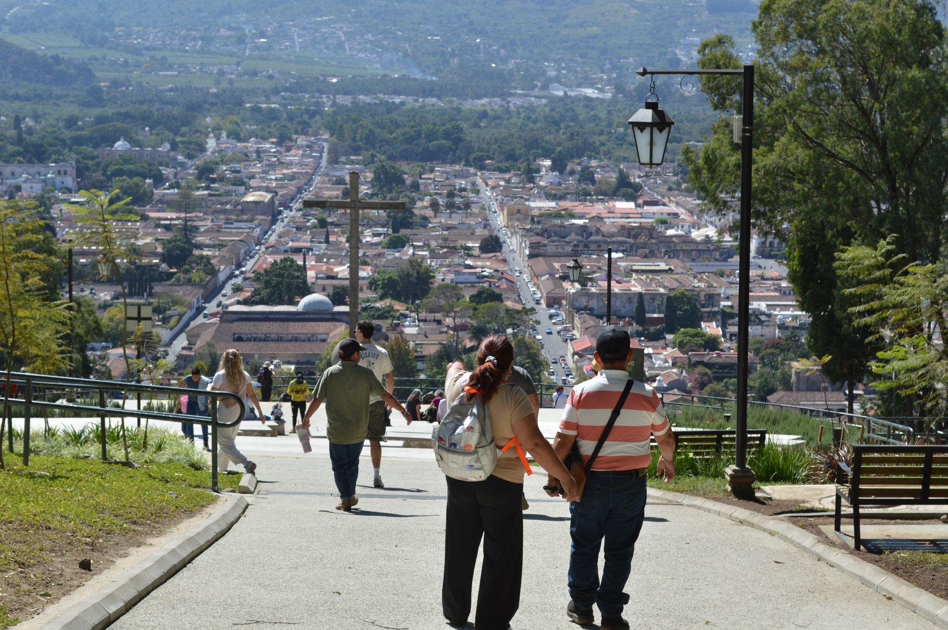
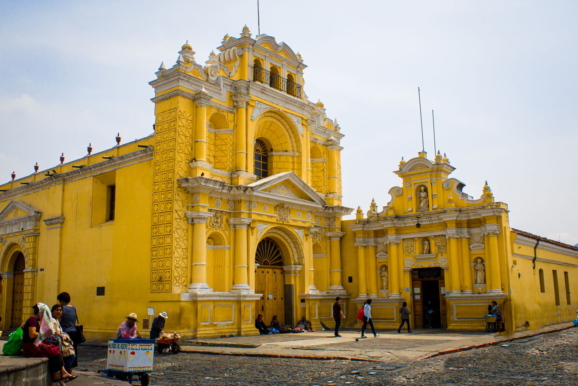
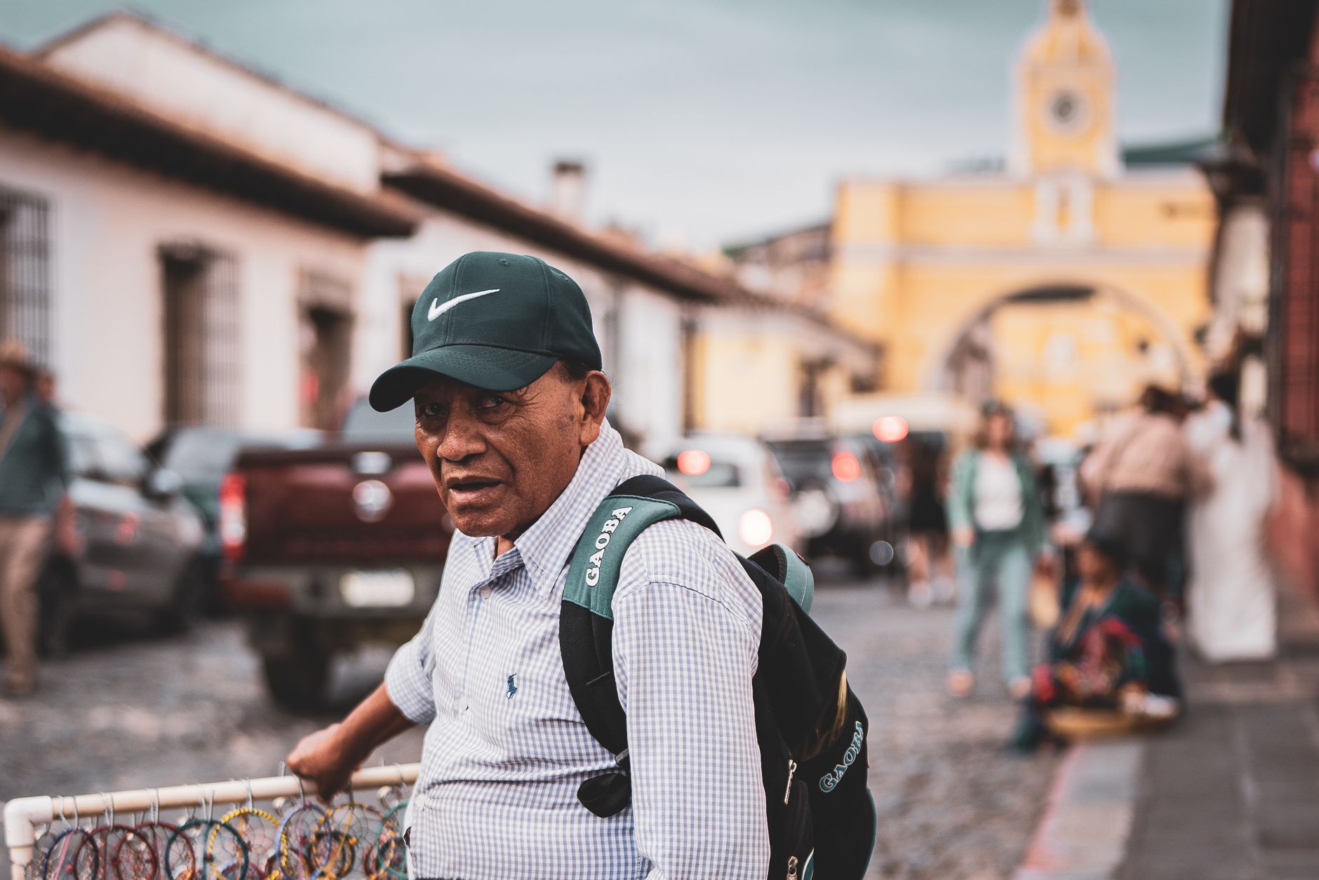
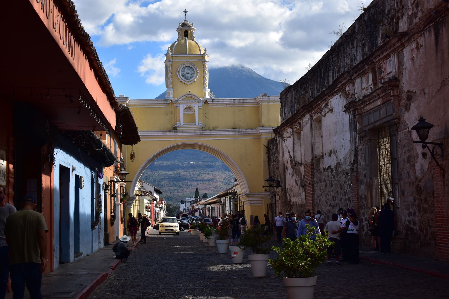
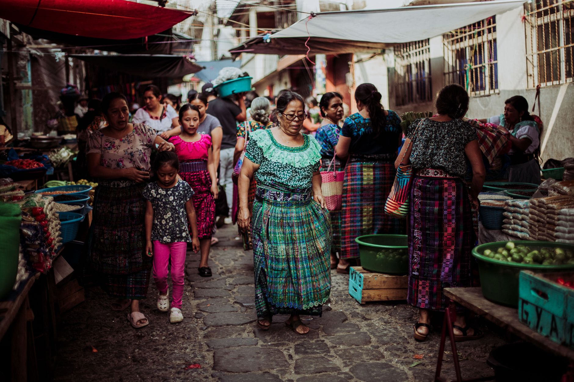
Guatemala City sits at roughly 1,500 metres in the Valle de la Ermita, and the altitude keeps the air cooler than you might expect from a Central American capital. The city centre holds the bones of colonial ambition — the Metropolitan Cathedral, the green-and-white National Palace of Culture, Constitution Plaza — while just a few kilometres west, the mounds of Kaminaljuyu remind you that people were building cities here long before the Spanish arrived.
For most travellers, the capital is the place you land before heading to Antigua, the highlands, or the jungle north. That framing undersells it. Two days here, done with some intention, will give you a clearer sense of Guatemala's full arc — from pre-Classic Maya to independence to the 20th century — than almost anywhere else in the country.
How Guatemala City came to be
The city exists because of a disaster elsewhere. The earthquake of 1773 levelled Antigua Guatemala so thoroughly that Spain's King Charles III ordered the capital relocated entirely. In 1776 the new city — Nueva Guatemala de la Asunción — was formally founded in the Valle de la Ermita, on and around the ruins of the Maya site of Kaminaljuyu, which had been occupied since roughly 1500 BC.
The Metropolitan Cathedral went up between 1782 and 1815. Independence from Spain came on September 15, 1821, signed here. The city was repeatedly reshaped by earthquakes — 1917–18 stripped away much of the early colonial fabric, and the 1976 quake killed more than 23,000 people. The National Palace of Culture, the dominant structure on Constitution Plaza, dates from the 1940s, a product of the Ubico era.
Who and what shaped it
People who shaped it
Landmark buildings
See Guatemala City in motion
Plan your visit
On the map
When to go
The elevation keeps temperatures mild year-round — daytime highs between 22°C and 28°C, with cool nights that can drop to 12°C. May through October brings afternoon rain most days; November to April is drier and the more comfortable season for walking the city.
Right now
Background & history adapted from Wikipedia (CC BY-SA) · specs from Wikidata (CC0) · weather from Open-Meteo · map data © OpenStreetMap contributors · photos from Wikimedia Commons / Unsplash with per-image credit. No third-party reviews or social posts reproduced.