
Guanica Dry Forest
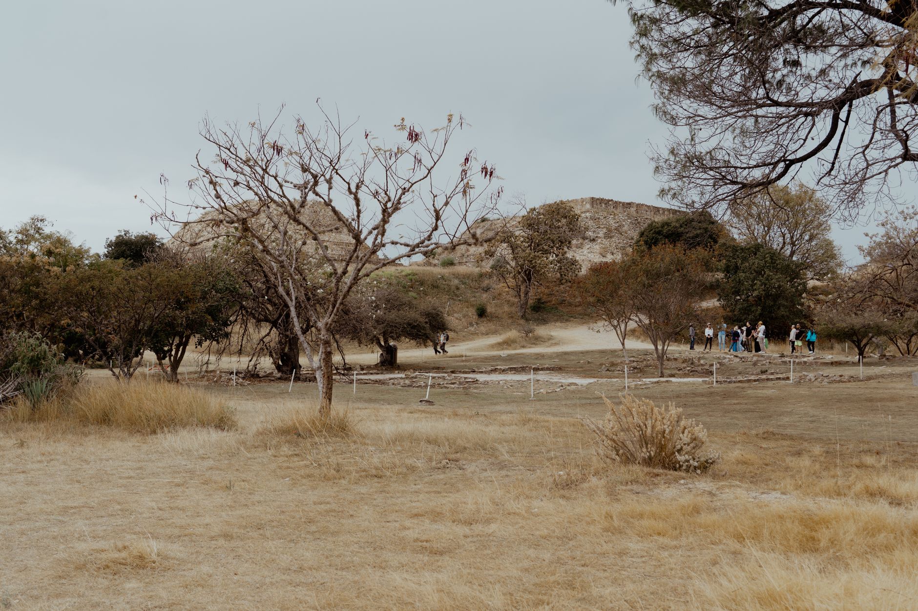
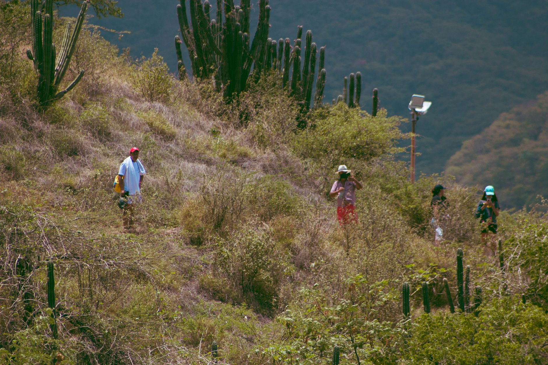
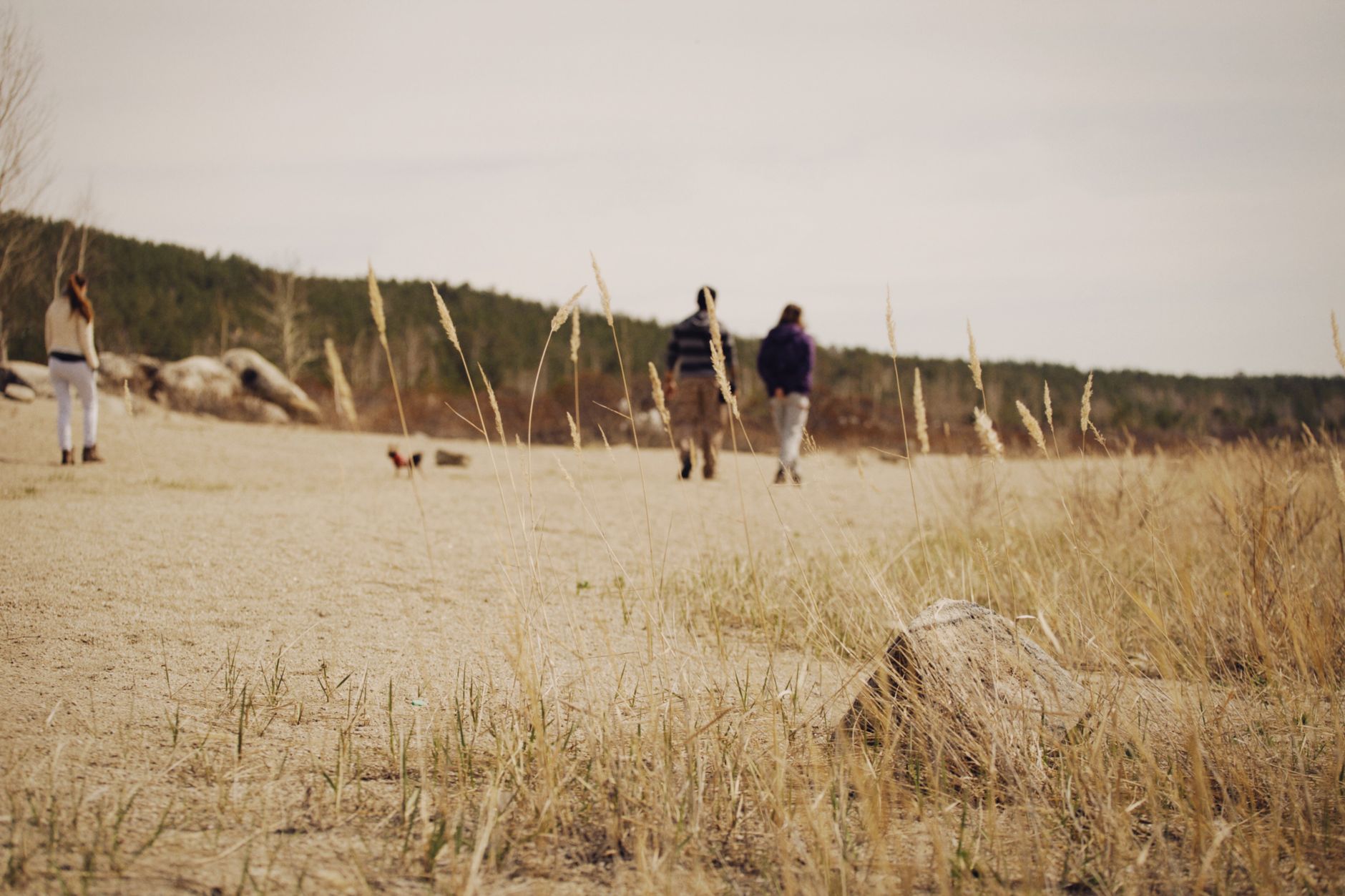
Most of Puerto Rico's forests drip. Guánica does not. On the island's southwestern coast, the land turns spare and strange — cactus growing beside sea grape, the soil pale and cracked, the air carrying salt and something resinous you can't quite name. This is one of the largest subtropical dry forests left in the world, and it reads like a different island entirely.
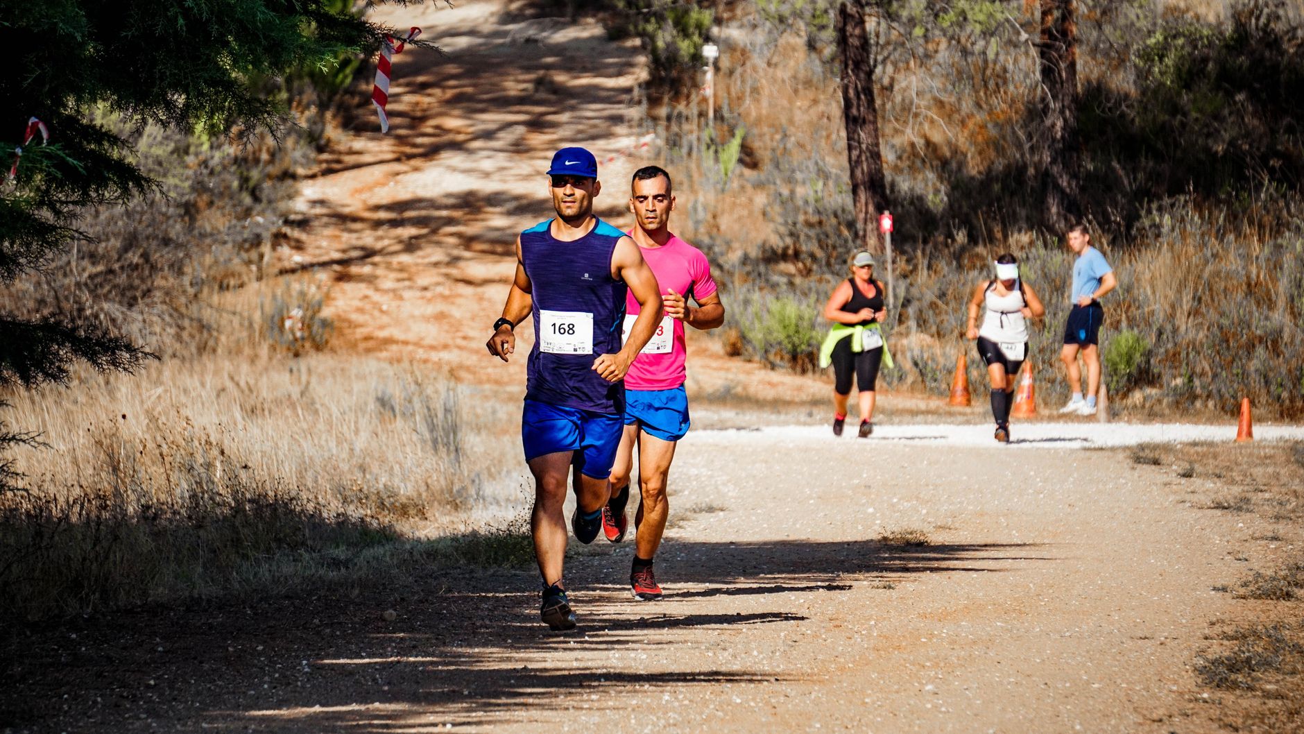
The reserve covers roughly 36 miles of trails across limestone karst terrain, and the light here has a quality that photographers notice fast: sharp, unfiltered, almost desert-bright. Entrance is free, the trails range from an easy stroll to a committed half-day hike, and the coral reefs just offshore draw divers who've already done the Atlantic-facing beaches.
💛 What travellers fall for
People who come back tend to arrive early — the gate opens at 7:30 a.m. and the exposed sections of trail are genuinely brutal by midday. The Meseta Trail to Tamarindo Beach rewards the extra effort. Bug spray is not optional; the mosquitoes here are relentless, and reapplying matters.
How Guanica Dry Forest came to be
The forest's protected status arrived in layers. Governor Yager designated it a state forest in 1917, and it became a formally protected area in 1919. In 1981, UNESCO named it a Biosphere Reserve — one of the first in the Caribbean — and the Puerto Rico Planning Board added further protections in 1985. BirdLife International followed in 2007 with an Important Bird Area designation, recognizing its role as habitat for species found almost nowhere else.
The structures scattered through the reserve carry older stories. The Guánica Lighthouse, built in 1892 and activated the following year, was damaged by an earthquake in 1937 and deactivated by 1950; it stands in ruins near the bay. Fuerte Caprón, on a ridge above the forest, traces its origins to a 16th-century Spanish lookout post, was rebuilt in 1898 during the Spanish-American War, and the tower visible today was constructed by the Civilian Conservation Corps in 1936.
Who and what shaped it
Landmark buildings
See Guanica Dry Forest in motion
Plan your visit
On the map
When to go
December through March is the driest stretch and the most comfortable for hiking — temperatures in shaded areas run around 27°C (80°F), though exposed ridges can hit 38°C (100°F) in any season. The wet season, April through November, brings heavy showers that make limestone trails slick and coincides with hurricane season.
Right now
Background & history adapted from Wikipedia (CC BY-SA) · specs from Wikidata (CC0) · weather from Open-Meteo · map data © OpenStreetMap contributors · photos from Wikimedia Commons / Unsplash with per-image credit. No third-party reviews or social posts reproduced.