
Guanacaste Province
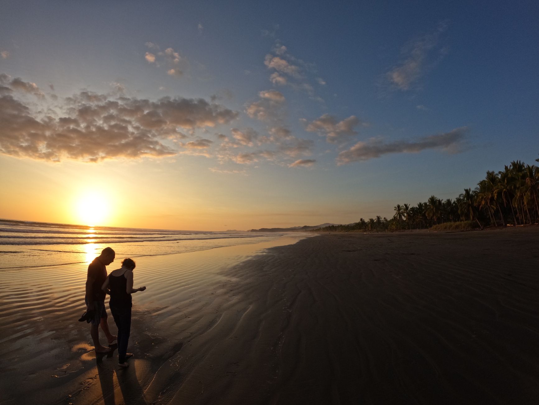
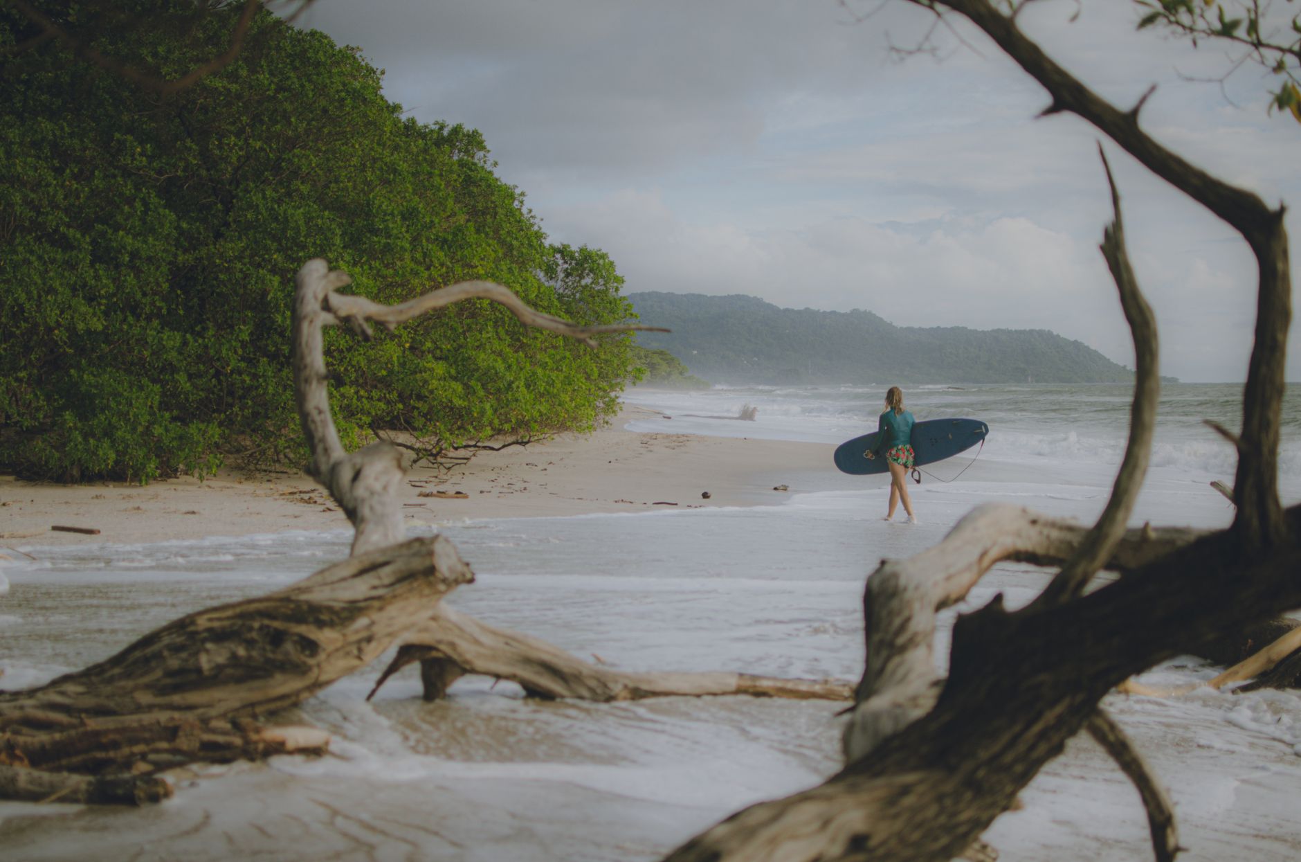
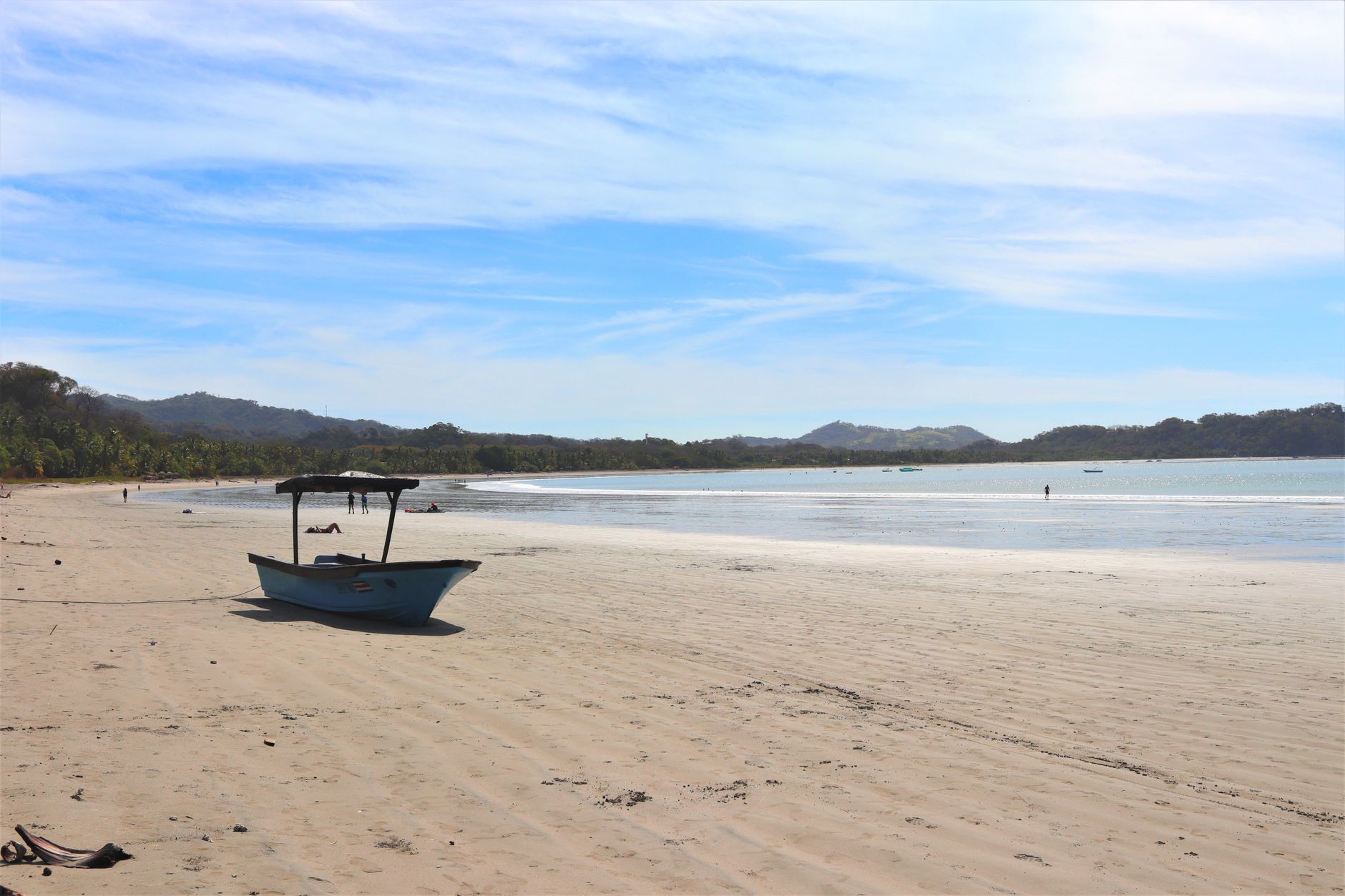
Guanacaste is the dry side of Costa Rica — a wide Pacific province where the wet season actually ends, the trees lose their leaves, and the land turns gold from December through March. The Chorotega people farmed corn here for centuries before the Spanish arrived, and the province itself spent its colonial life belonging to Nicaragua, only voting to join Costa Rica in 1825.
The provincial capital, Liberia, sits at the centre of it all: a working city of adobe houses with corner doors angled to catch the morning sun, a short drive from the international airport that brought the rest of the world here. Beaches, volcanoes, and dry forest all pull in different directions from this hub.
How Guanacaste Province came to be
Long before Spanish colonisation, the Chorotega people lived across this territory in towns including Nicoya, Papagayo, and Orosí, with corn agriculture at the centre of their way of life. Colonial administration placed the region under Nicaragua rather than Costa Rica, and it stayed that way until the residents of Guanacaste voted on July 25, 1825, to join the newly independent Costa Rica — a boundary question that wasn't fully settled until the treaty of 1896.
The province formalised its current shape in 1848, and its capital, then called Guanacaste, was renamed Liberia in 1854. A gold rush brought foreign capital and Minor Keith's Abangares Gold Fields operated from 1884 to 1931. The opening of Daniel Oduber Quirós International Airport to international traffic in 2002 reoriented the province's economy once more, this time toward tourism.
Who and what shaped it
People who shaped it
Landmark buildings
See Guanacaste Province in motion
Plan your visit
On the map
When to go
December through March brings almost no rain, clear skies, and temperatures regularly above 35°C (95°F) — the peak season for good reason. The rains build from May and are heaviest in September and October, when the landscape greens up and crowds thin out; October temperatures average around 29°C (84°F).
Right now
Background & history adapted from Wikipedia (CC BY-SA) · specs from Wikidata (CC0) · weather from Open-Meteo · map data © OpenStreetMap contributors · photos from Wikimedia Commons / Unsplash with per-image credit. No third-party reviews or social posts reproduced.