
Fortaleza de Santa Catarina
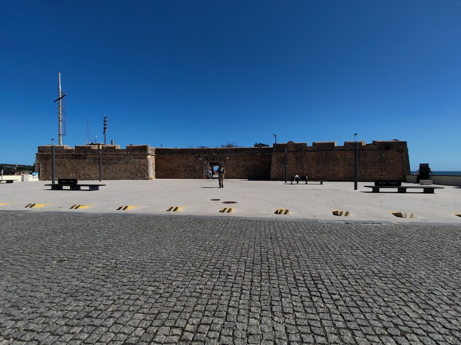
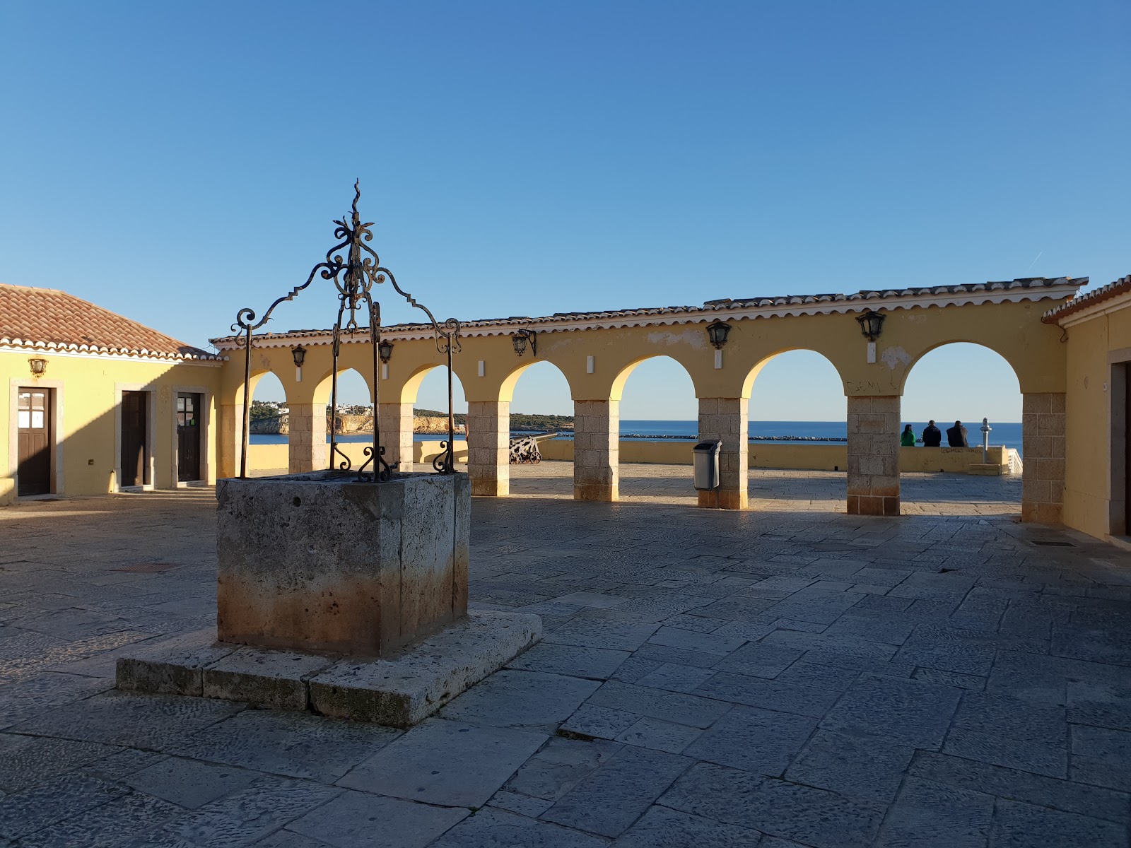
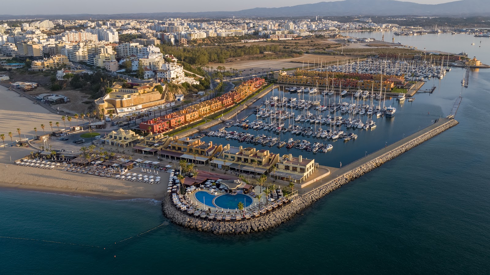
At the far eastern tip of Praia da Rocha, a staircase cuts into the sandstone cliff and brings you up to a trapezoidal fort that has been watching the mouth of the Arade River since 1633. Inside, seven arches open a wall onto a walled lookout above the beach, and on a clear day you can see straight across to the Fort of São João do Arade on the Ferragudo bank — the two fortifications once worked in tandem, a pair of stone brackets holding the estuary shut.
These days the interior is quiet: a cafeteria occupies what were once military quarters, and a 1960s lookout tower stands in the southeast corner. There is no on-site museum, no explanatory panels to speak of. What you get instead is the structure itself, the view, and a small chapel dedicated to Santa Catarina still sitting where it always has.

💛 What travellers fall for
People who come back tend to time it for late afternoon, when the light off the Arade turns the sandstone walls copper. The staircase up from the cliff can be genuinely dark after sunset — a phone torch is not overkill. The cafeteria is a reliable place to sit after walking the battlements.
The story behind Fortaleza de Santa Catarina
Military engineer Alexandre Massai toured the Algarve coast between 1617 and 1621 to assess its defences, and it was his survey that led to the planning of the fort in 1621. Construction finished in 1633. The site itself is older — a hermitage dedicated to Catherine of Alexandria stood at Ponta de Santa Catarina before the fort was built, and its small chapel was absorbed into the new structure. The fortress was designed to protect local settlements and the Arade estuary from pirates, privateers, and naval attack, working in concert with the fort across the water at Ferragudo.
The 1755 Lisbon Earthquake hit hard enough to require substantial repairs in 1758 and again in 1794. Nearly two centuries later, on 23 July 1946, the property passed to the Municipal Commission for Tourism of Portimão, and a lookout tower was added in the 1960s.
Good to know
Bus lines 12 or 13 from Portimão bus station reach Praia da Rocha in about ten minutes for around €1.50. Entry is free. Opening hours are not reliably posted, so a morning or midday visit is safer than arriving late. Plan for thirty to forty-five minutes; there is no interpretive signage inside.
Summer days reach around 28°C with long dry stretches and close to thirteen hours of sun in July — good for the views, though the exposed battlements offer little shade. April through June and September through November bring temperatures between 19°C and 26°C and are generally the most comfortable months to linger on the walls.
Where is Fortaleza de Santa Catarina?
More tickets & tours for Fortaleza de Santa Catarina
Book directly at the provider
What travellers say about Fortaleza de Santa Catarina
Fantastic vantage point however the stairs and wall prohibit access to top and bottom due to refurbishment. You can still get down to the lower level (beach) via the gardens adjacent.
A terrific vantage point to view Praia Da Rocha beaches and the entrance to the marina. You won’t find much historical information here on the fort, but there are many stairways, some hidden by trees, to go from it to the beaches. They are beautiful walks.
Beautiful area with great history. Some stairs to walk up if you at the beach side.
Awesome view! If you are in Portugal as a tourist, it is necessary to go there especially at night and enjoy the view of the city lights and the sound of the ocean, during the day it is still beautiful because you can see huge long beaches and water, a great observation deck
When we first approached the Castle, I thought, "It is smaller than I had imagined!" Until you are inside! It is a vast castle! Covering a huge area! Great place to walk around and the view is tremendous!
More of Portimão
Discover where to stay, what to do and the best deals for your trip.
Explore Portimão →More attractions in Portimão
All of Portimão →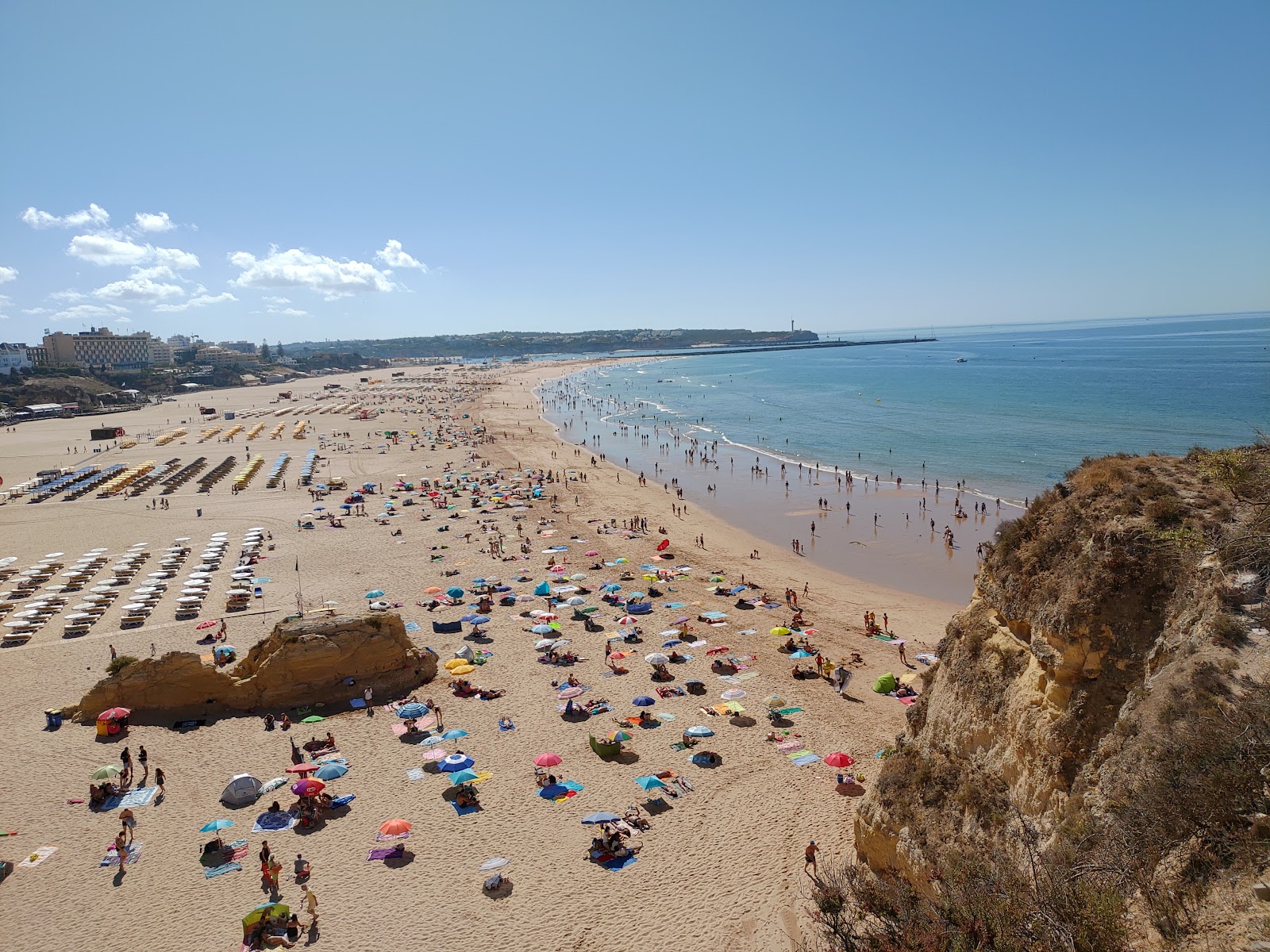
Background adapted from Wikipedia (CC BY-SA) · map data © OpenStreetMap contributors · ratings & place photos via Google · other photos with per-image credit. Ticket links may earn us a commission at no extra cost to you.