
Fort Carré
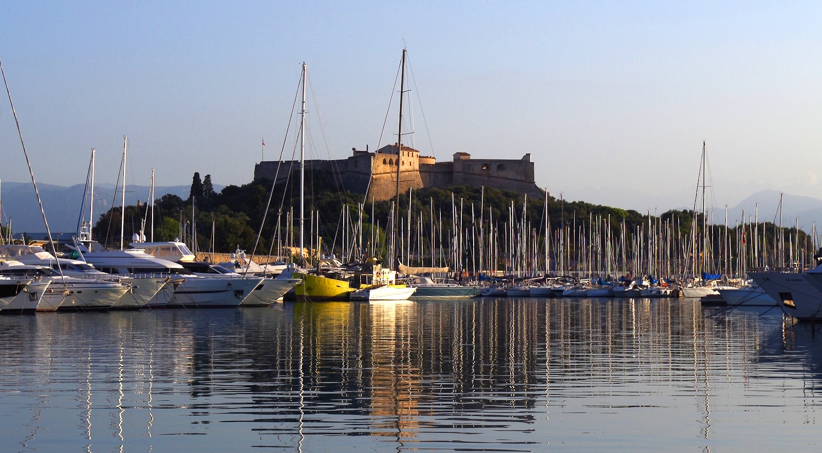
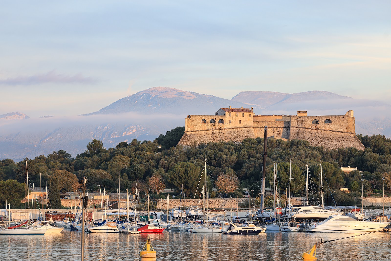
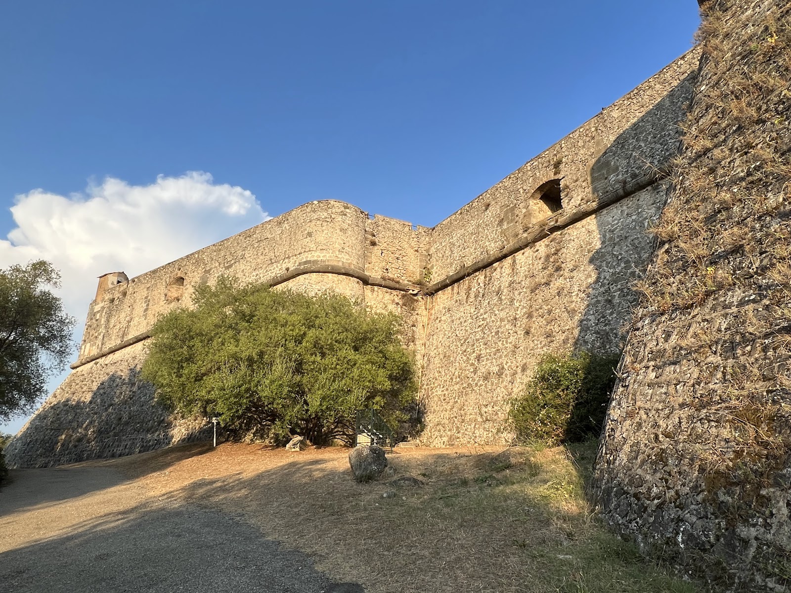
A path lined with prickly pear leads you up to Fort Carré, a 16th-century star-shaped fortification sitting on a 26-metre promontory at the edge of Antibes. Four arrowhead bastions — named Corsica, Nice, France and Antibes — point outward over the sea and the southern Alps, and from the rampart walk, 43 metres above the water, the view on a clear day reaches the Mercantour Massif.
The fort has spent most of its life as a border marker. Built to hold the line between the Kingdom of France and the Duchy of Savoy, it changed hands during the Wars of Religion, withstood an Austro-Sardinian bombardment, and briefly held Napoleon under arrest before the 20th century made it obsolete.
💛 What travellers fall for
People who come back tend to time it around the guided tour — included in the already modest admission — because the bastion names and the story of General Championnet's tomb on the parapet walk are easy to miss on your own. The path from parking is a 15-minute walk on uneven ground, so comfortable shoes matter more than you'd expect.
The story behind Fort Carré
Construction began in the early 1550s on the orders of King Henry II, who needed a fortified position on what was then the border with Savoy — an ally of Habsburg Spain. The fort took shape over several decades, with a central tower built on the site of a demolished chapel. In 1591, the Duke of Savoy took Antibes without resistance; the following year, a French army besieged and retook it. In 1746–47, English and Austro-Sardinian forces bombarded it and failed to break it.
In July 1794, Napoleon Bonaparte spent ten days imprisoned here, suspected of Jacobin sympathies. The fort was decommissioned at the start of the 20th century, listed as a historical monument in 1906, and restored by volunteers between 1979 and 1985. The city of Antibes acquired it in 1997 and opened it to the public in 1998.
Good to know
Access is via Avenue du 11 Novembre, with the nearest parking a 15-minute walk along a dirt path — not suitable for prams or mobility-impaired visitors. The fort closes on Mondays, on major public holidays, and in bad weather due to exposed ramparts with low walls. Guided tours are included in admission (€3.50 adults); reservations recommended at +33 (0)4 92 90 52 13.
April through October offers the most comfortable visiting conditions, with temperatures between 20–27°C and very little rain from June onward. The ramparts are fully exposed, so the fort closes in bad weather regardless of season — worth checking ahead if the mistral is running.
Where is Fort Carré?
More tickets & tours for Fort Carré
Book directly at the provider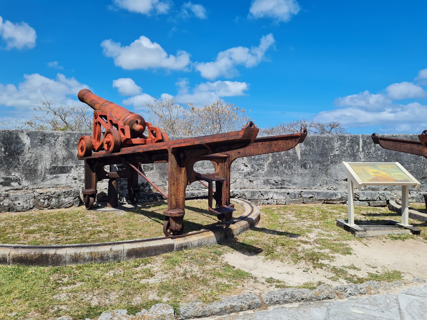
What travellers say about Fort Carré
Walk up the hill on a hot day with an excited 5 year old just to be told they're closing in 10min when we arrive at 12.20. Maybe put a sign at the bottom of the hill or update your information online... Update: So there are 2 ways to get to the fort, we went the longer way and therefore missed the signs till it was too late. Still frustrating. We ate lunch at the harbour and decided to try again as our son was still sad not to get inside. The views were great and the history presented interested and our son loved exploring what we could. A lot of the fort is closed off, including the very top so don't expect to explore every area. For €5 you can't complain though.
Very nice. Would have liked it better if we could have walked up to the parapets. It's been basically recreated from what it used to be. Not bad. Frankly I like the walk to it better because the ocean was beautiful. And I did appreciate that the took a lot of time and care to maintain the native flora and fauna.
Lovely old fort overlooking Port Vauban and East to Nice and Italy beyond. Only €5 and never really gets busy. The people at the office and especially the gentleman taking tickets are just lovely and helpful. Always ready to belp take great photos of parties in the castle courtyard.
Fort and it's staff - 5 stars Readily available online information and on-site signage to find the entrance - 1 star. My rec, don't walk here with children from old town - it's doable but it's a long way in the sun and to reach the entrance (the only one I could find at least) was circuitous and not well signed. Take the free electric bus we found on our way back which makes a continuous loop between the marina and Fort Carré.
If you’re visiting Antibes and appreciate history, I recommend touring this Fort! The staff was very nice and encouraged taking pictures. The fort itself was a little smaller than I expected and further from the train station than I anticipated, but the walk was very pretty! Bring water if you go on a sunny day.
More of Antibes
Discover where to stay, what to do and the best deals for your trip.
Explore Antibes →More attractions in Antibes
All of Antibes →


Background adapted from Wikipedia (CC BY-SA) · map data © OpenStreetMap contributors · ratings & place photos via Google · other photos with per-image credit. Ticket links may earn us a commission at no extra cost to you.