
Flores and Petén

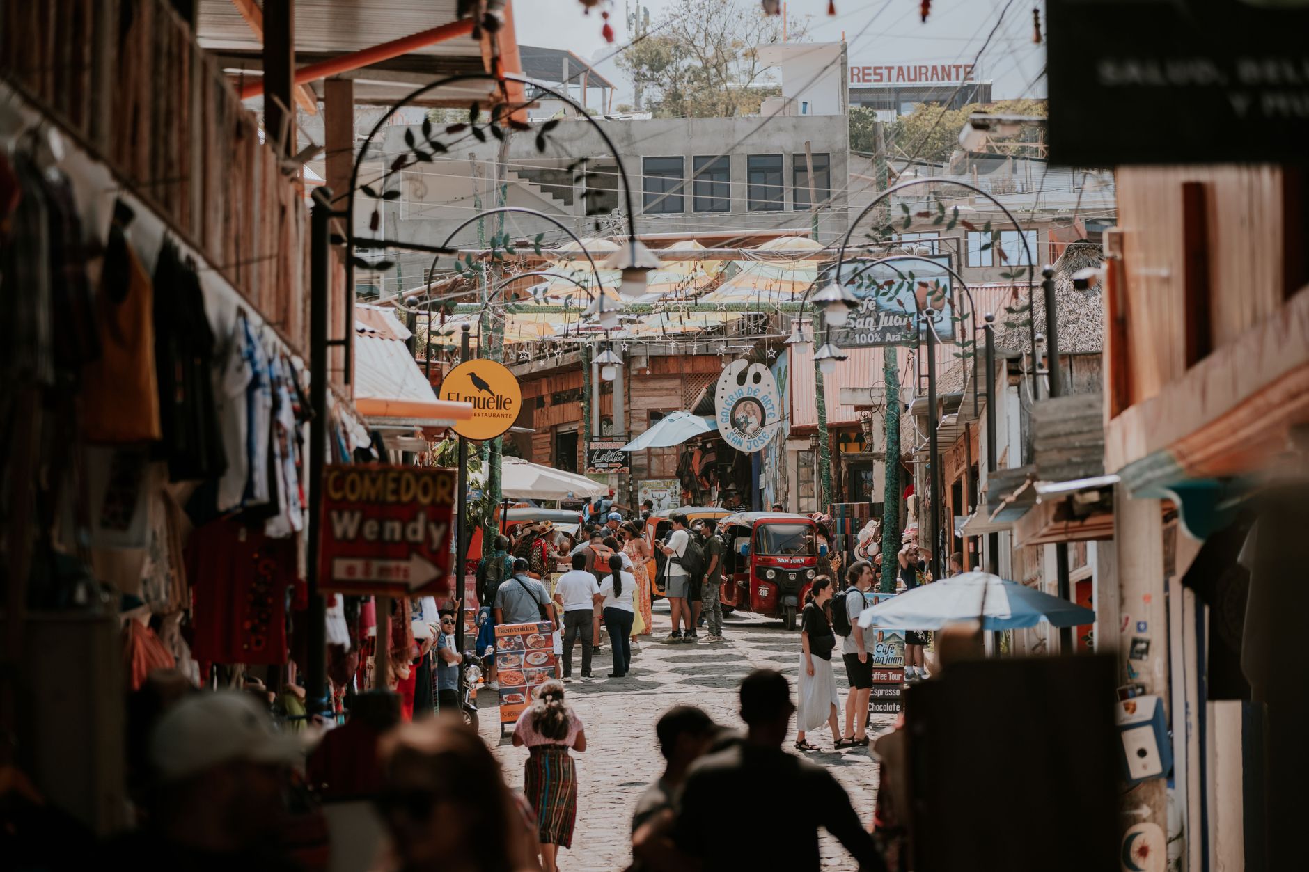

Flores sits on a small island in Lake Petén Itzá, connected to the mainland town of Santa Elena by a single causeway. You can walk the whole island in fifteen minutes — past waterfront mansions left over from the chicle boom, up to the central park where pre-Columbian stelae stand in the open air, and back down before your coffee goes cold. It is a place that earns its keep as a gateway to Tikal, but the island itself has enough texture to hold you an extra day.
Petén, the vast lowland department that surrounds it, is a different matter — jungle canopy stretching toward Mexico and Belize, broken by Maya ruins, rivers, and a zoo run by the national university where you arrive by boat.
How Flores and Petén came to be
Long before the Spanish arrived, the island was Nojpetén, a Maya city with roots stretching back to at least 900 BC. In the 13th century the Itza people, retreating from the Yucatán, made it their capital. It held out against Spanish colonization longer than almost anywhere in the Americas — nearly 200 years — until March 13, 1697, when Martín de Ursúa's troops stormed the island, destroyed its temples, and raised a church in their place. A Franciscan friar named Andrés de Avendaño y Loyola had visited shortly before, trying a gentler approach; his manuscripts remain the clearest record of what the city looked like.
The settlement was renamed, rebuilt in a radial street pattern around the hilltop church, and eventually rechristened Flores in 1831 to honor Cirilo Flores Estrada, a physician and independence-movement figure. The causeway came in the 1840s. The waterfront architecture you see today largely dates from the late 19th and early 20th centuries, when chicle and timber extraction brought money and migrants through.
Who and what shaped it
People who shaped it
Landmark buildings
See Flores and Petén in motion
Plan your visit
On the map
When to go
November through March is dry and relatively cool — the most comfortable window for exploring the jungle around Tikal. April and May stay dry but grow genuinely hot. The rainy season runs roughly June through October, bringing daily downpours that can make dirt roads to remote sites impassable.
Right now
Background & history adapted from Wikipedia (CC BY-SA) · specs from Wikidata (CC0) · weather from Open-Meteo · map data © OpenStreetMap contributors · photos from Wikimedia Commons / Unsplash with per-image credit. No third-party reviews or social posts reproduced.