
Fernhill

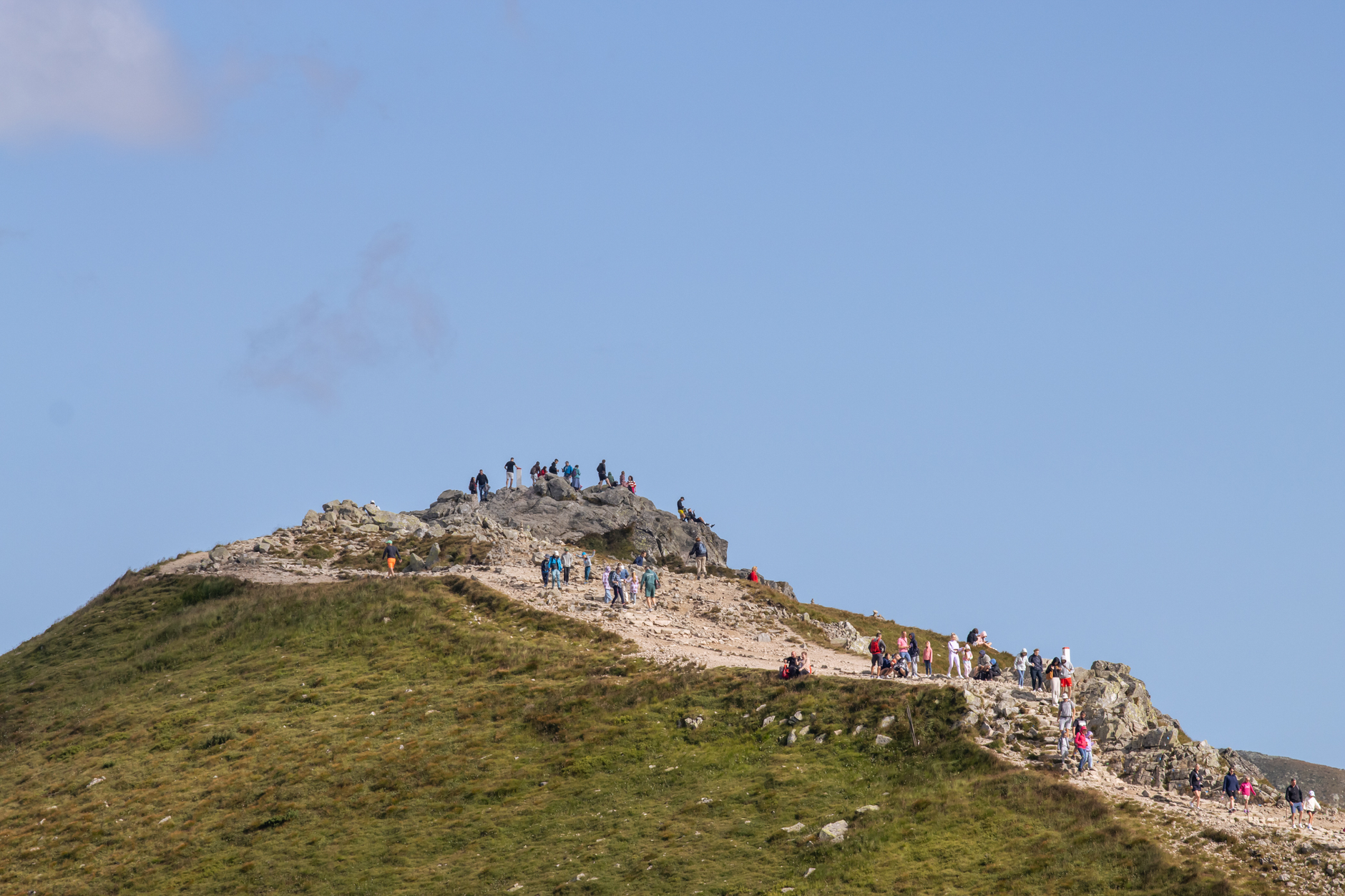

Fernhill sits on the lower slopes of Ben Lomond, a mostly residential suburb that tilts steeply above Lake Wakatipu's northern shore. Hotels line the bottom of the hill; houses climb the rest of it. What draws people up here isn't the architecture — it's the trail network that threads through the Ben Lomond Reserve, ranging from a gentle 8-kilometre loop to descents with names like Salmon Run and McNearly Gnarly that tell you exactly what you're in for.
The Fernhill Town Link Track connects this slope to central Queenstown without touching a main road, which means you can leave the lakefront crowds behind in under ten minutes of walking.
💛 What travellers fall for
People who come back tend to do the loop track early, before the mountain bike riders arrive in numbers. The Wynyard Jump Park draws a crowd by mid-morning on weekends. Download the QMTBC app before you head up — membership is free and the trail conditions notes alone are worth it, especially after any rain.
Deals in Fernhill
Book directly at the provider


How Fernhill came to be
Fernhill's story is largely a postwar one. The earliest residential construction in the area dates to the 1950s, though the suburb's real shape was drawn in the 1990s, when the bulk of its housing stock went up alongside Queenstown's transformation into an international resort town. The Ben Lomond Reserve was always there, of course — the mountain indifferent to the development spreading across its lower flanks.
The trail network came later still, built and maintained by the Queenstown Mountain Bike Club, turning what was essentially a steep residential backstreet into a destination in its own right.
Who and what shaped it
Landmark buildings
See Fernhill in motion
Plan your visit
On the map
When to go
Summer runs warm enough for trail running in a t-shirt — highs around 22°C with 15 hours of daylight — while winter brings genuine cold, with July dipping below freezing and snow on the upper slopes from June through early October. Spring and autumn are the shoulder sweet spots: cool, clear, and quieter on the tracks.
Right now
Background & history adapted from Wikipedia (CC BY-SA) · specs from Wikidata (CC0) · weather from Open-Meteo · map data © OpenStreetMap contributors · photos from Wikimedia Commons / Unsplash with per-image credit. No third-party reviews or social posts reproduced.