
El Yunque National Forest
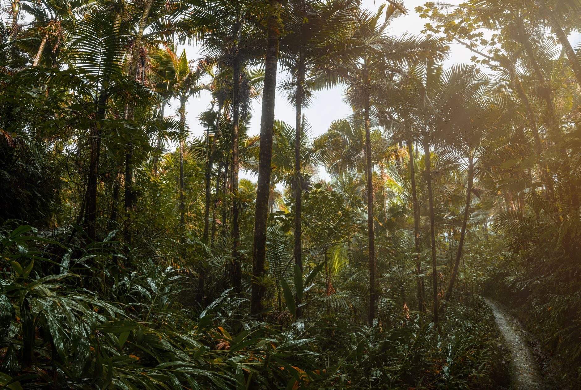
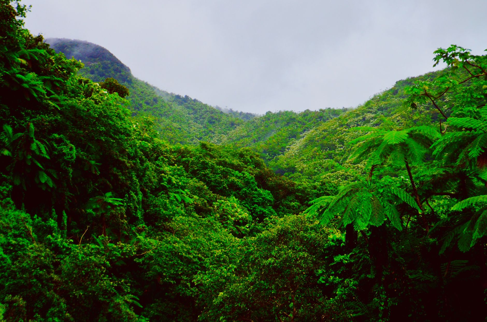
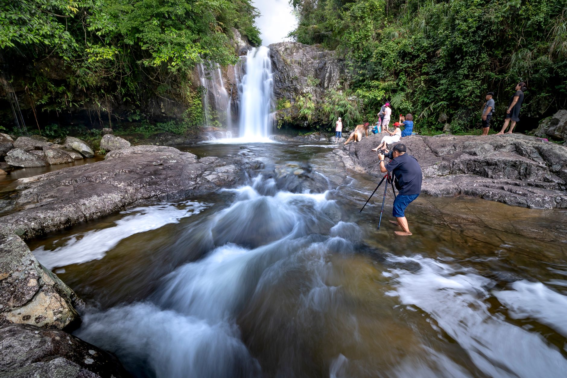
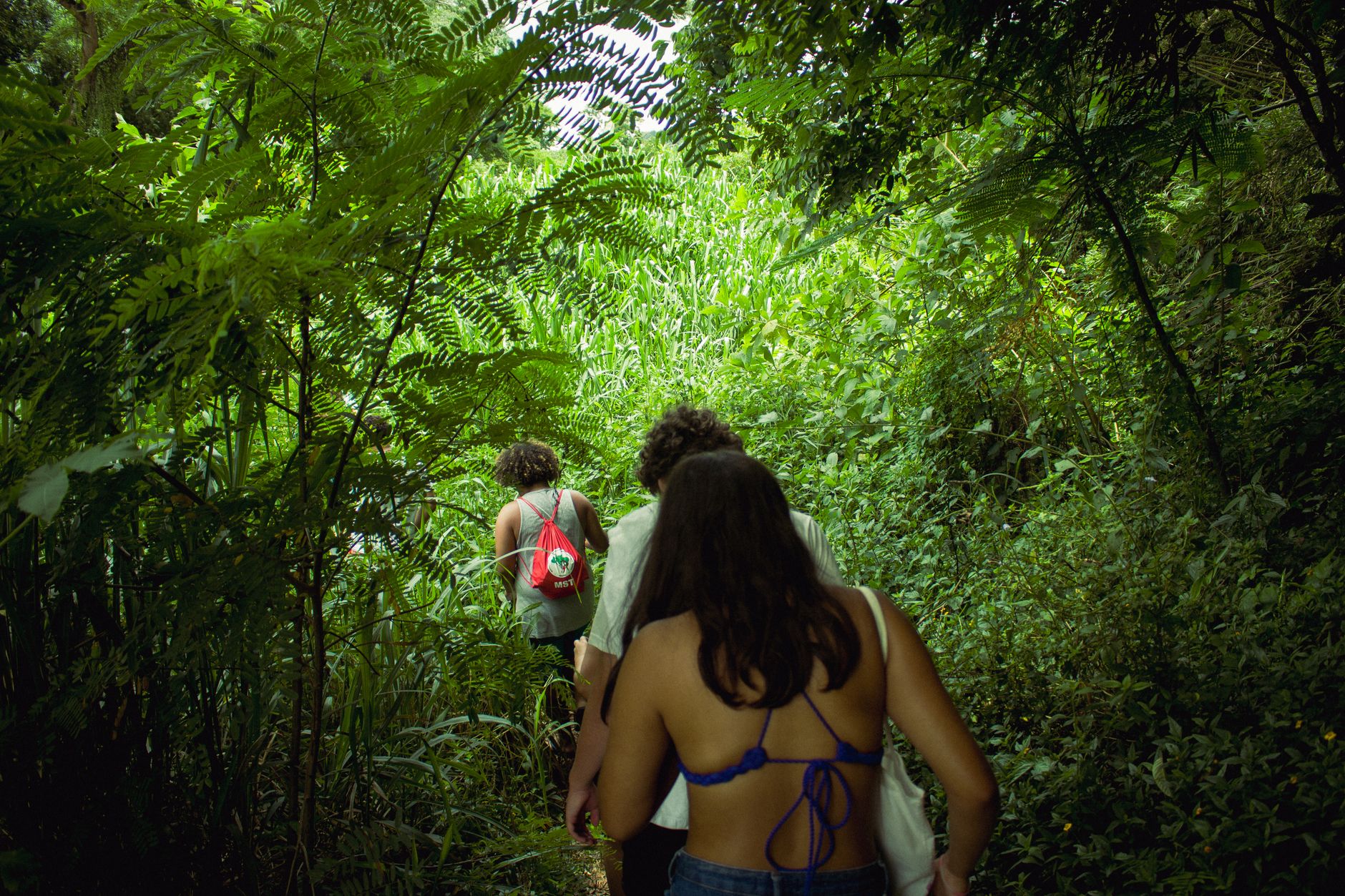
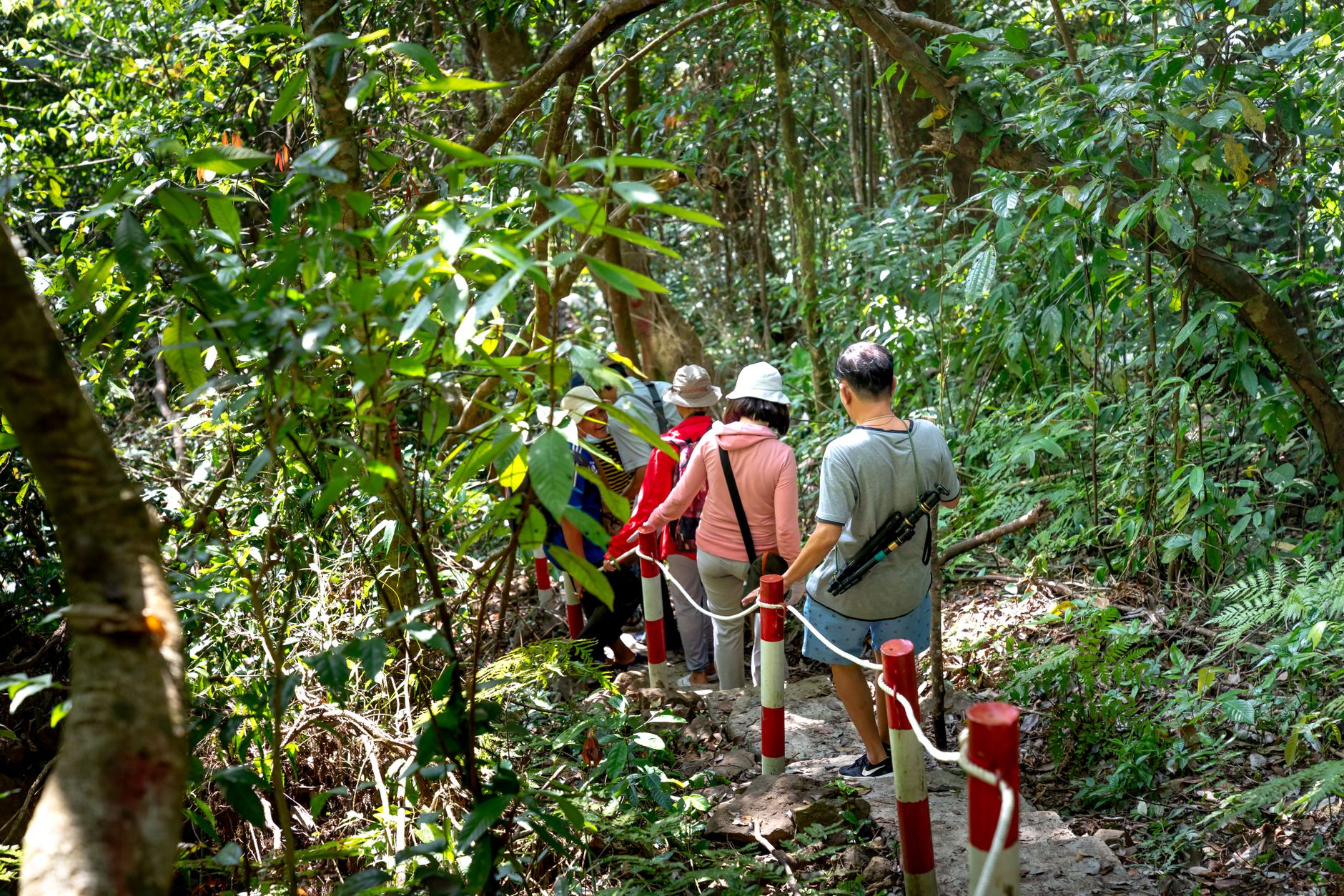
El Yunque is the only tropical rainforest in the U.S. National Forest system, and it earns that distinction quietly — through the sound of water moving constantly through the canopy, the 85-foot drop of La Coca Falls visible from the road, and a humidity that settles on you within minutes of stepping out of the car. Over 200 inches of rain fall here each year, which explains both the dense, layered green and the rivers that cut through the Luquillo Mountains without apology.
The forest covers the northeastern corner of Puerto Rico, rising from sea-level wetlands to cloud-draped peaks. You enter via PR-191 out of Río Grande, and the transition is immediate — the light changes, the air changes, and the road starts to climb.
💛 What travellers fall for
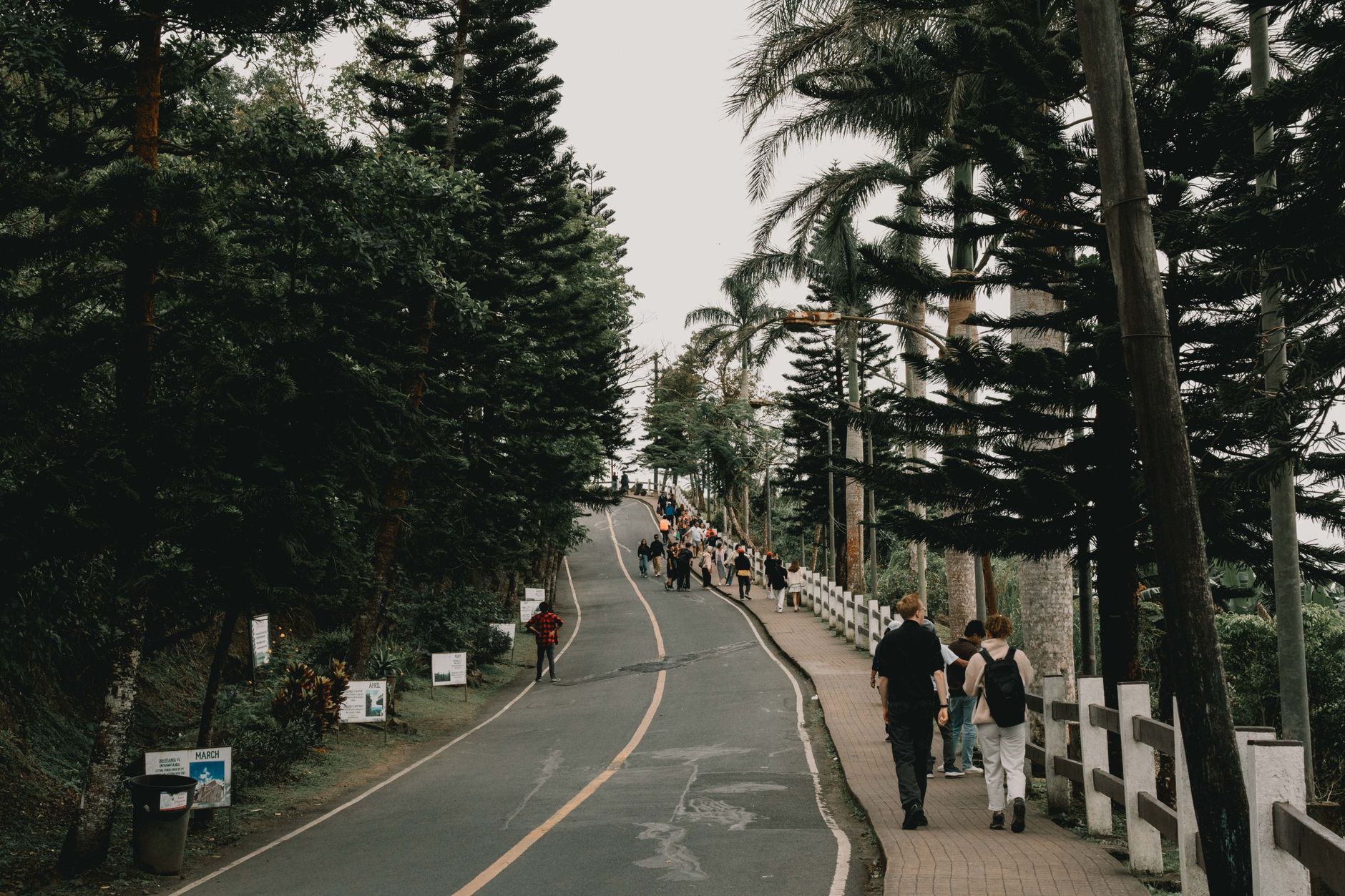
People who come back tend to arrive early — on the road by 8 a.m. before the afternoon storms build. The Yokahú Tower rewards the early riser with clear sightlines to the coast. Bring a dry bag for your phone. Rideshare drop-offs aren't permitted at the gates, so anyone without a car or a booked tour ends up walking a long way out.
How El Yunque National Forest came to be
The Spanish Crown set aside roughly 5,000 hectares here in 1876, making it one of the earliest legally protected forest reserves in the Western Hemisphere — a fact easy to overlook amid the trail maps and parking logistics. Protection deepened in January 1903, when President Theodore Roosevelt established the Luquillo Forest Reserve under the U.S. Forest Service, starting at just over 5,000 acres.
The forest weathered major storms in 1989 and 1998, each time reshaping the canopy and pushing the Puerto Rican parrot close to extinction in the wild. Hurricanes Irma and Maria in 2017 caused severe damage to El Portal, the main visitor center, which remained closed for years before reopening in January 2022. The forest carries those histories visibly — in fallen trunks reclaimed by moss, and trails still working their way back.
Who and what shaped it
People who shaped it
Landmark buildings
See El Yunque National Forest in motion
Plan your visit
On the map
When to go
Rain arrives most afternoons regardless of season, so start any hike by 8 or 9 a.m. and aim to be back at the car by midday. March through May offers the best balance of drier weather and thinner crowds; December through February is busier but comfortable, while summer brings more humidity and family-season traffic.
Right now
Background & history adapted from Wikipedia (CC BY-SA) · specs from Wikidata (CC0) · weather from Open-Meteo · map data © OpenStreetMap contributors · photos from Wikimedia Commons / Unsplash with per-image credit. No third-party reviews or social posts reproduced.