
Durban
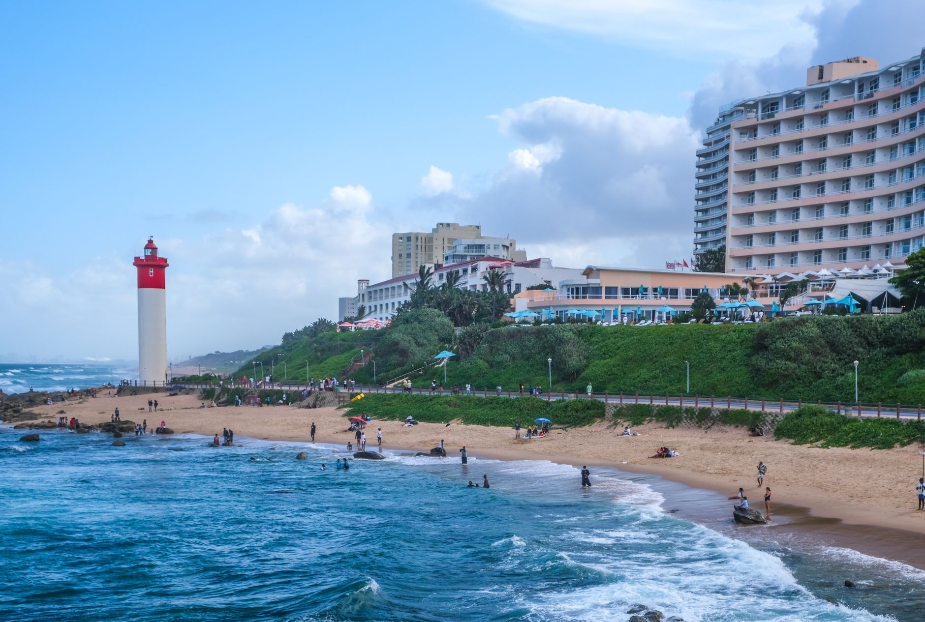
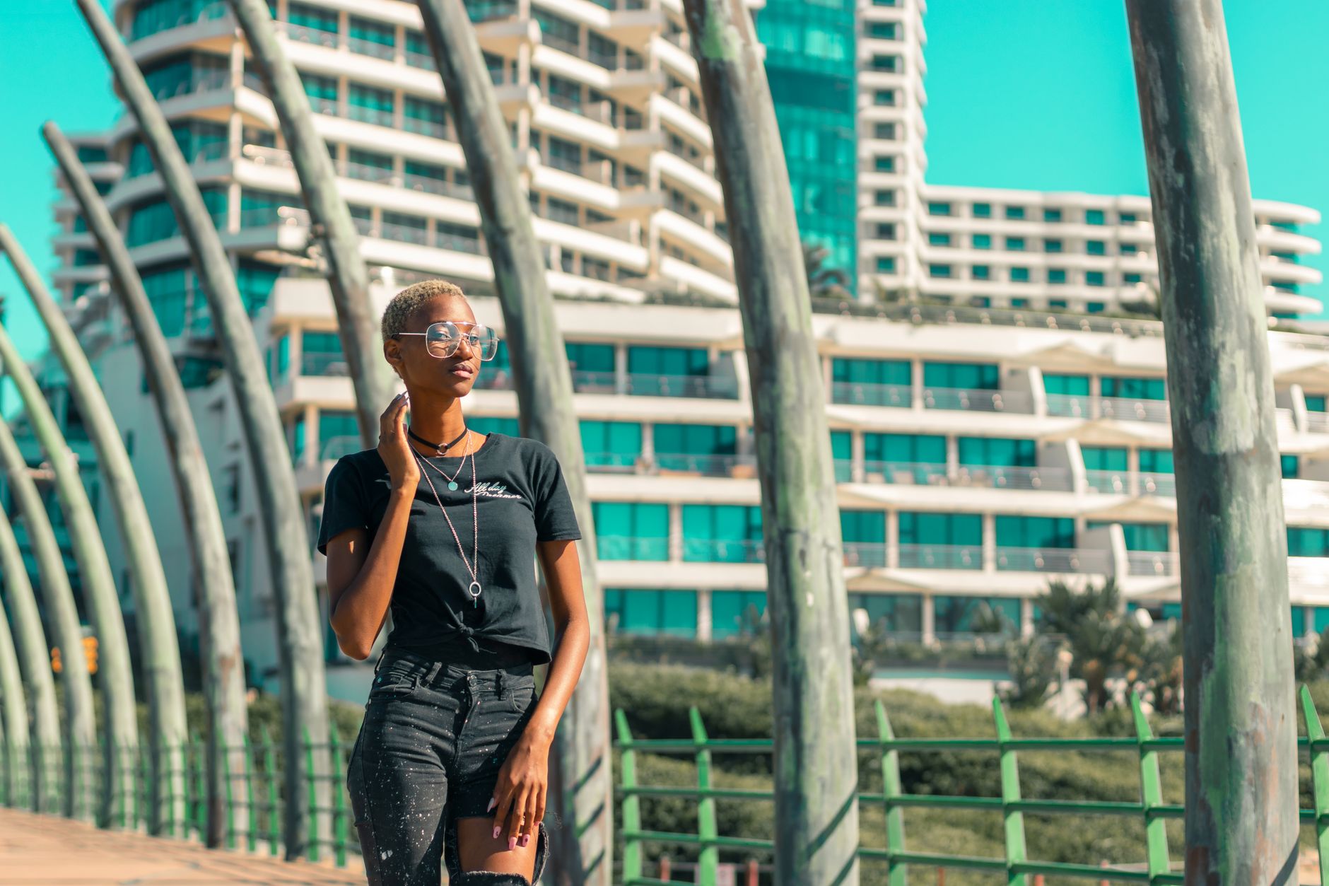
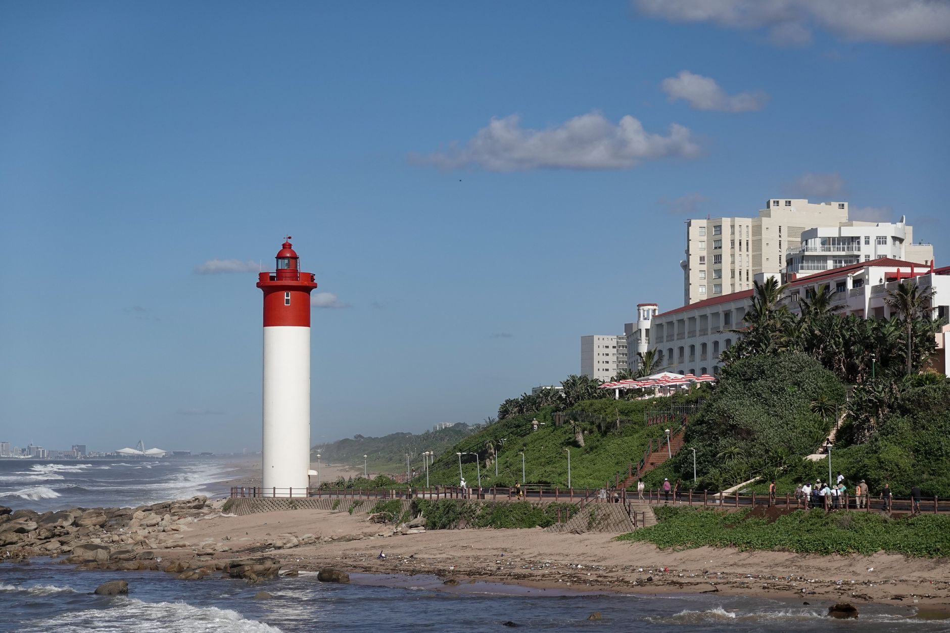
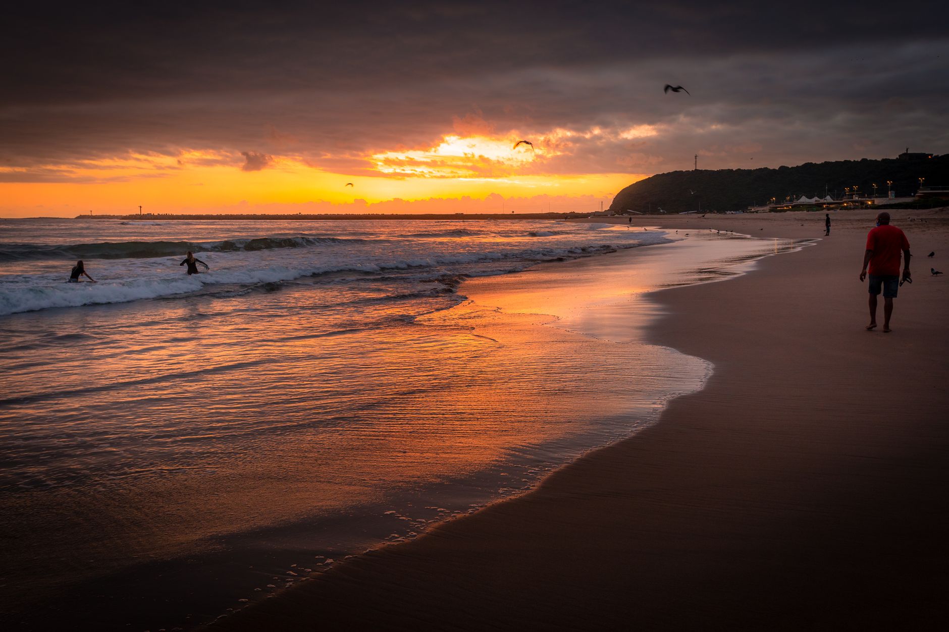
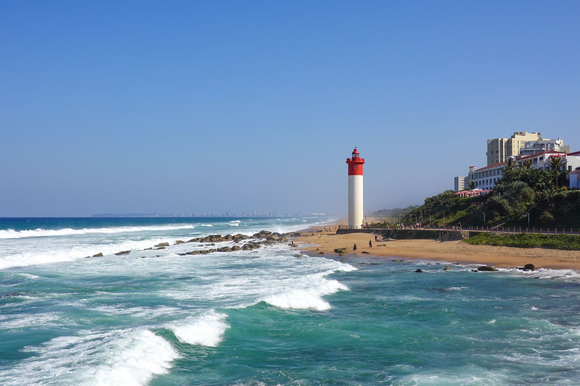
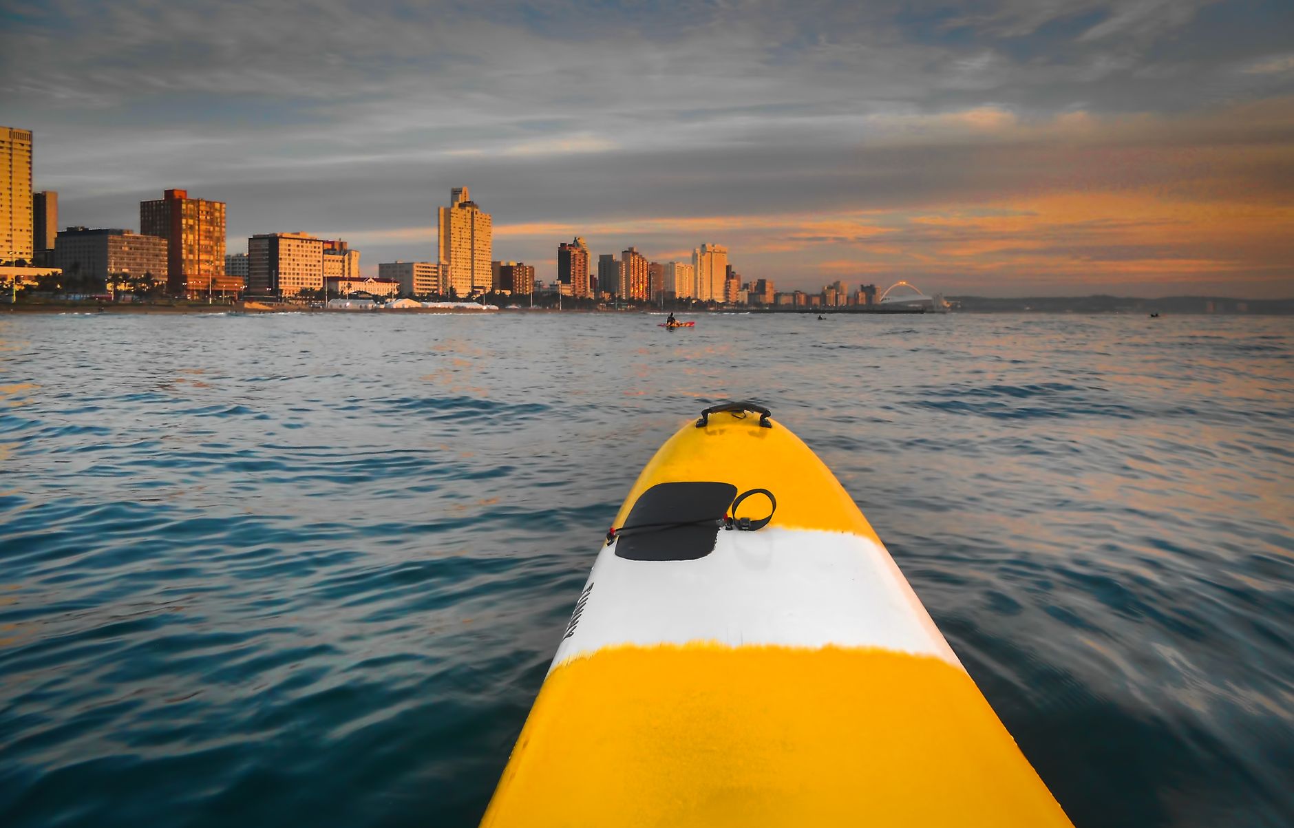
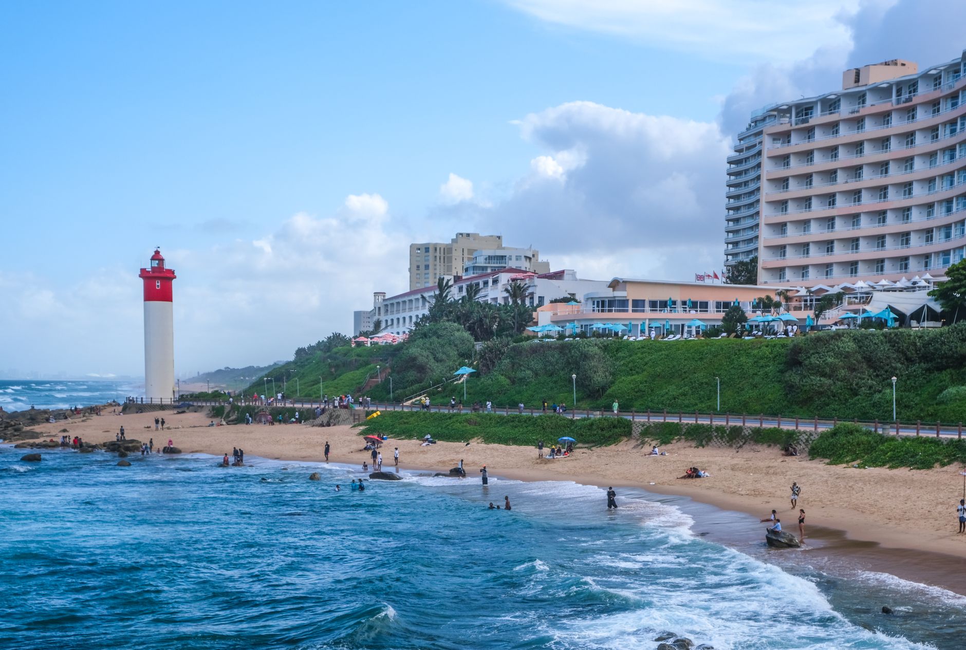
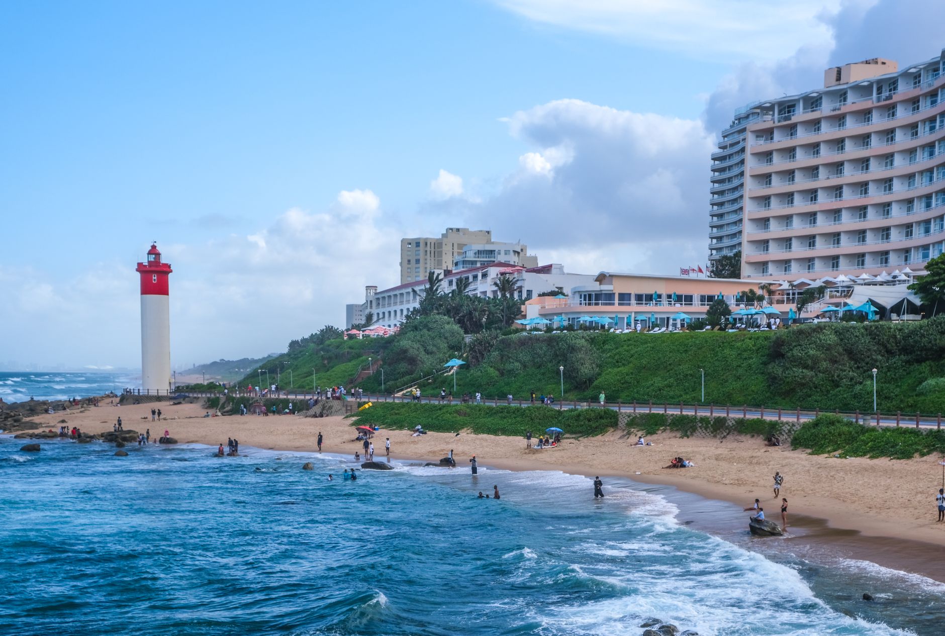
Durban faces the Indian Ocean with a directness that other South African cities don't quite match. The water is warm enough to swim in year-round, the beachfront promenade stretches for kilometres, and the city behind it layers Zulu, Indian, British colonial and contemporary South African culture into something genuinely its own.
The Grey Street quarter, anchored by the vast Juma Musjid — the largest mosque in the Southern Hemisphere — gives you a sense of how deeply Indian heritage runs here, a story that begins in the sugarcane fields of the 1860s. More than a hundred Art Deco buildings survive from the interwar years, scattered through a city centre that rewards slow walking.
Popular cities in Durban

How Durban came to be
In 1824, English trader Francis G. Farewell charted the harbour at Port Natal after Shaka, the Zulu king, ceded the land to his group. The settlement was formally founded in 1835 and named for Sir Benjamin D'Urban, then governor of the Cape Colony. George Cato shaped its early layout, designing three main streets each wide enough to turn a wagon. The town became a borough in 1854 and a city in 1935.
The harbour — now one of the major commercial ports on the continent — began its development in 1855. Six years later, in 1860, the British brought thousands of indentured labourers from India to work the sugarcane fields, a migration that permanently altered the city's character and left a cultural imprint visible in its food, architecture and religious life today.
Who and what shaped it
People who shaped it
Landmark buildings
See Durban in motion
Plan your visit
On the map
When to go
Durban is subtropical: winters (June–August) are mild and relatively dry, making them the most comfortable time to visit, while summers (December–March) are hot and humid with frequent afternoon rain — February peaks at around 28°C. The ocean stays swimmable in all seasons.
Right now
↡ Cities
Background & history adapted from Wikipedia (CC BY-SA) · specs from Wikidata (CC0) · weather from Open-Meteo · map data © OpenStreetMap contributors · photos from Wikimedia Commons / Unsplash with per-image credit. No third-party reviews or social posts reproduced.