
Dominical
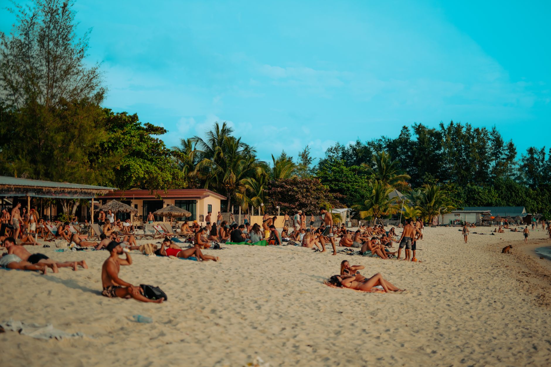
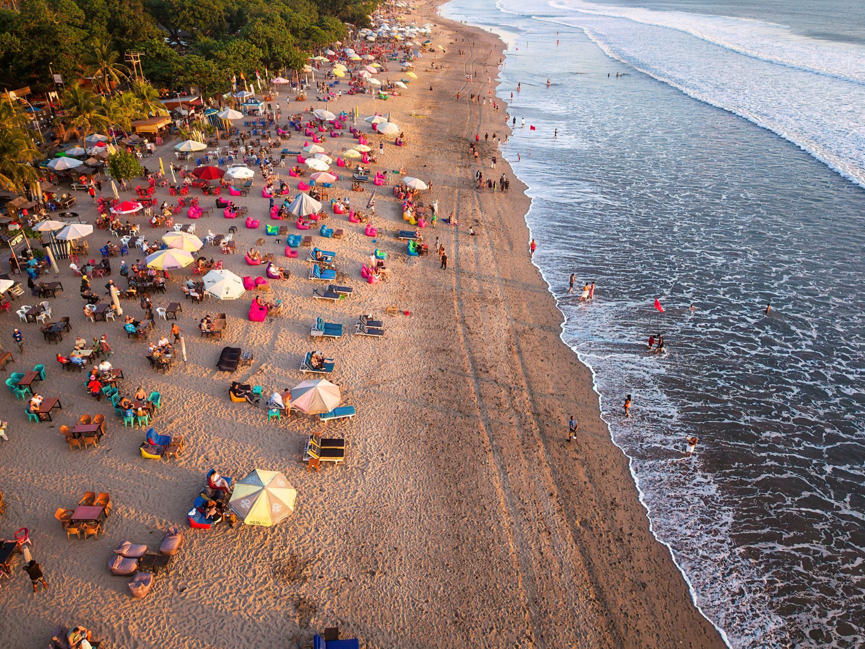
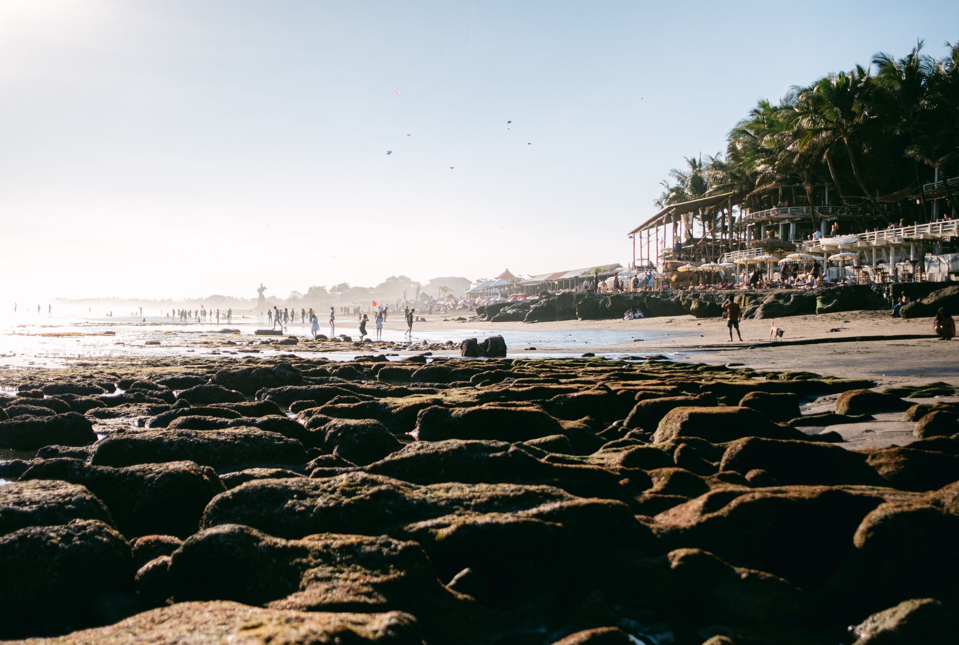
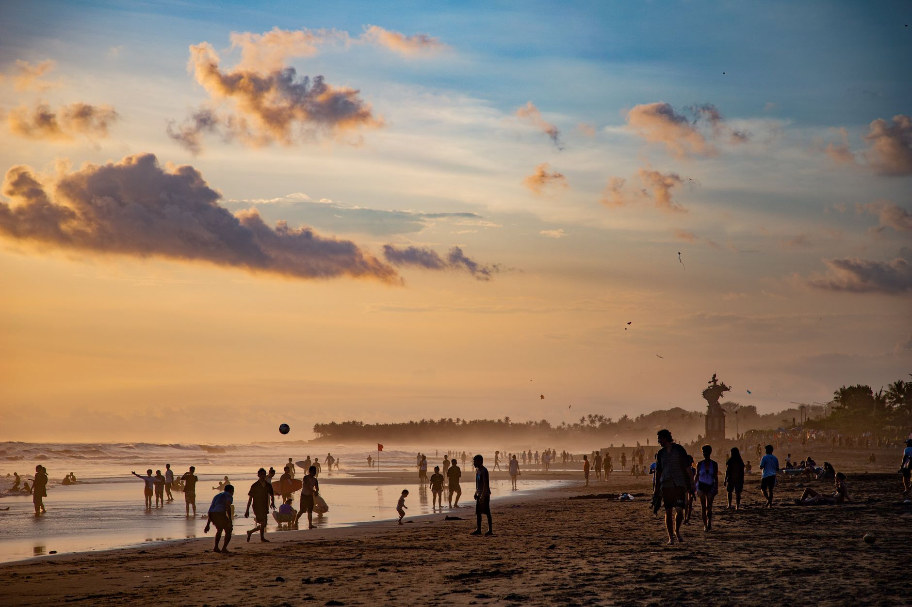
Dominical is a town you can walk end to end in under ten minutes, yet the Pacific keeps arriving here in waves serious enough to command your full attention. Playa Dominical is not a gentle beach — the shore is rocky, the break is powerful, and the ocean makes its intentions clear. That combination of raw surf and a permanent population of fewer than a thousand people has kept the place honest.
A few minutes south, Playa Dominicalito sits in a sheltered cove where the water behaves differently — calmer, more forgiving, the place where learners actually stand up on boards. Inland, the Nauyaca Waterfalls drop 61 metres into a swimming hole, and Hacienda Baru Wildlife Refuge holds primary rainforest, mangroves, and over 330 identified bird species within a single property.
💛 What travellers fall for
People who return to Dominical tend to time their Friday mornings around the Eco Feria organic market at the plaza beside the soccer field — open until 12:30, gone before lunch. They also learn quickly that Playa Dominicalito is where the actual swimming happens, and that Punta Dominical at dusk, watching the waves break against the rocks, is worth the short drive almost any evening of the year.
How Dominical came to be
Before the road from San Isidro arrived in the 1960s and 70s, Dominical was a fishing village with no particular reason to be on anyone's map. The opening of that route changed its access; the construction of the Costanera Sur highway in the 1980s changed its character. Word about the surf — consistent, powerful, year-round — reached the right people, and by the late 1980s and early 1990s, expats from the United States and elsewhere were settling in.
The Punta Dominical Hotel was among the early developments that gave the place a foothold as a destination rather than a detour. Around the same time, expats established Hacienda Baru Nature Reserve with a focus on sustainable tourism and wildlife conservation — a project that has since grown into one of the more substantive wildlife refuges on Costa Rica's Pacific coast.
Who and what shaped it
Landmark buildings
See Dominical in motion
Plan your visit
On the map
When to go
Dry season runs mid-December through April, with February averaging only about 20mm of rain and roughly 11 wet days — the most reliably clear window for beach time. From May onward the rains build steadily; September and October are the wettest months, with October alone averaging nearly 480mm and 30 days of rainfall, though that same period coincides with peak whale-watching season offshore.
Right now
Background & history adapted from Wikipedia (CC BY-SA) · specs from Wikidata (CC0) · weather from Open-Meteo · map data © OpenStreetMap contributors · photos from Wikimedia Commons / Unsplash with per-image credit. No third-party reviews or social posts reproduced.