
Corcovado National Park
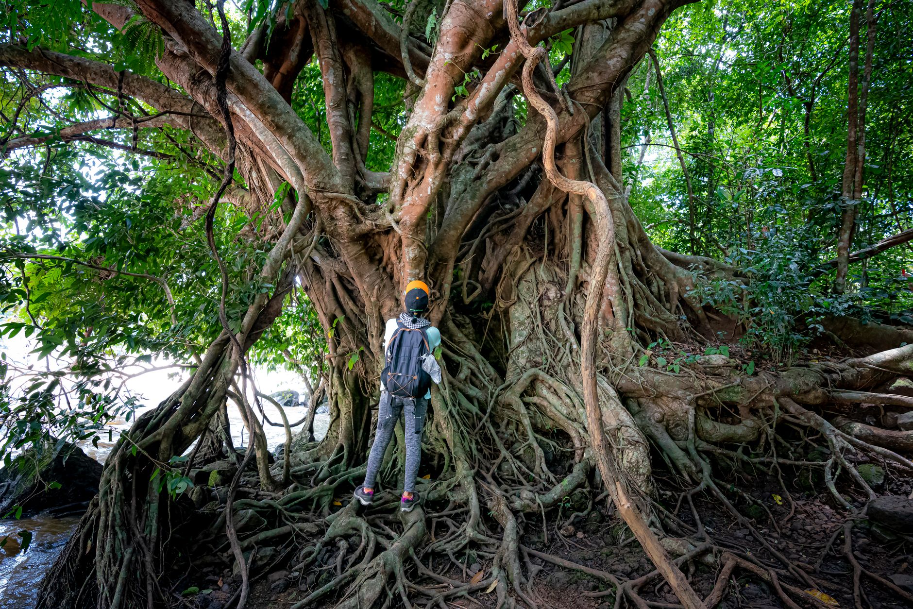
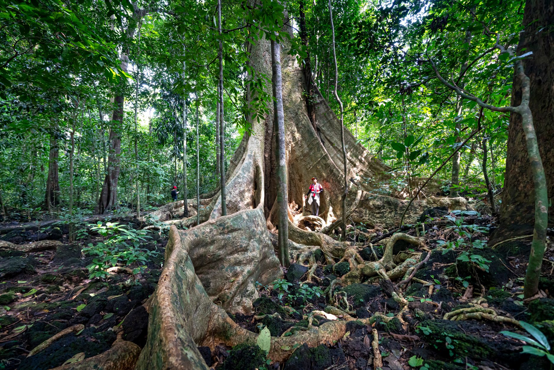
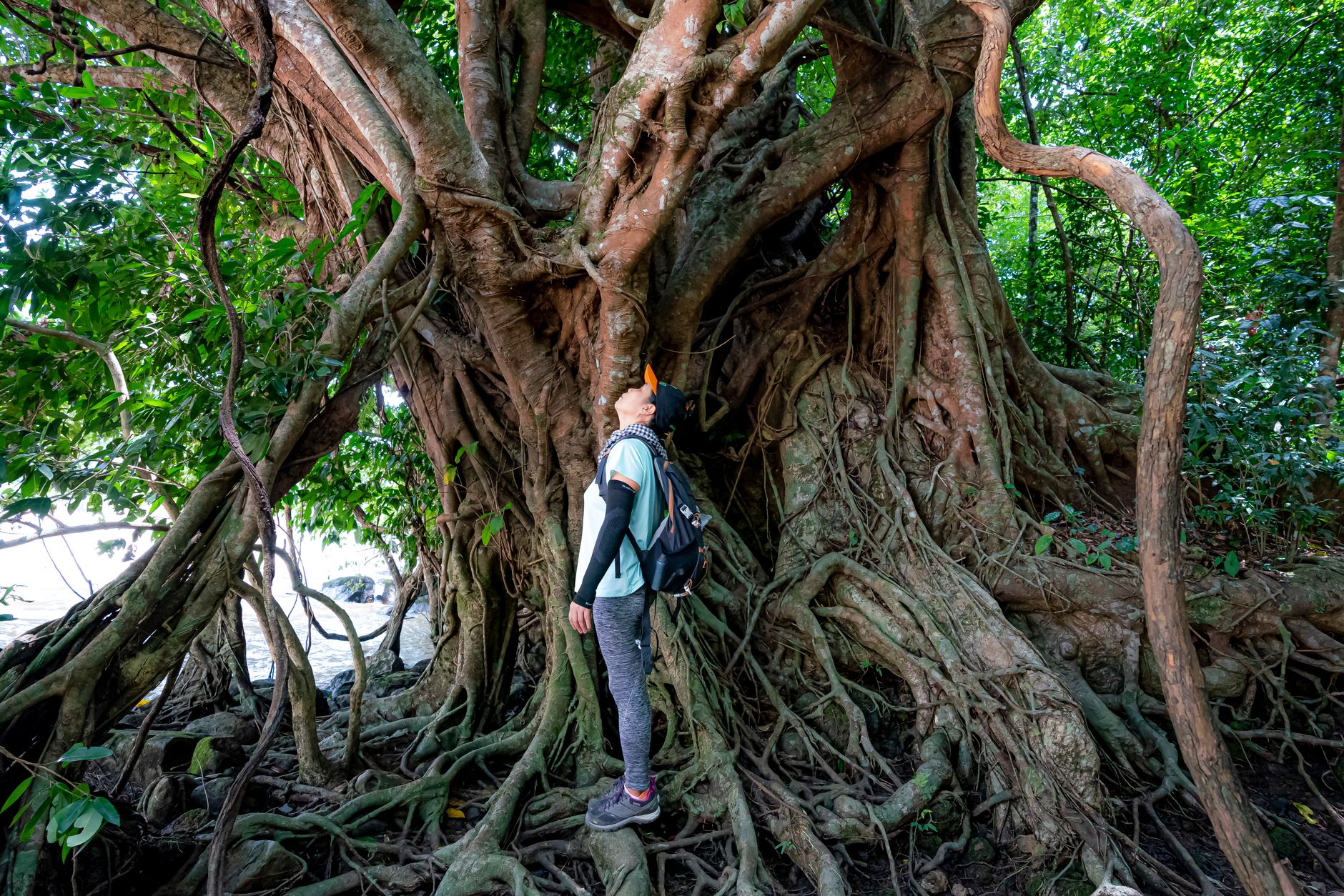
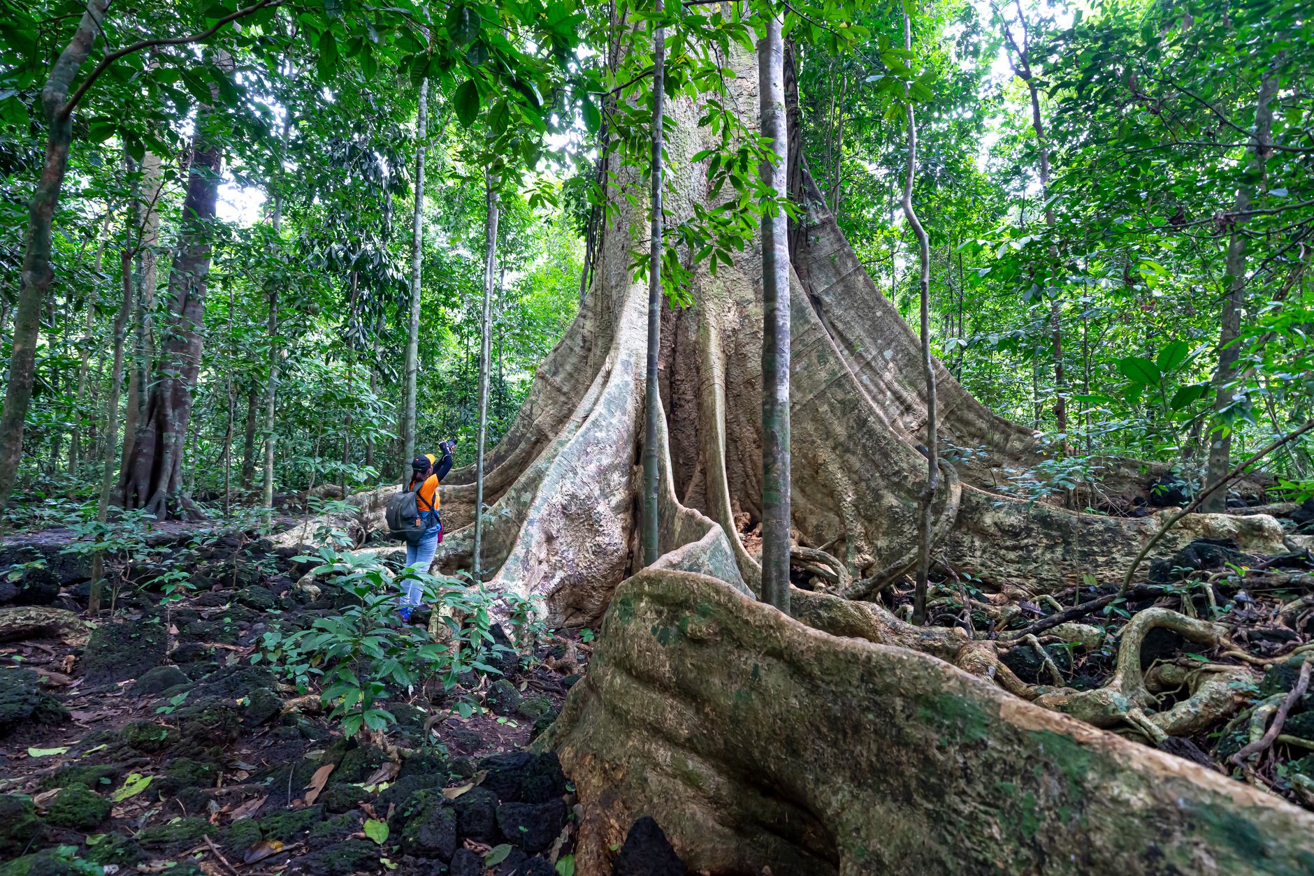
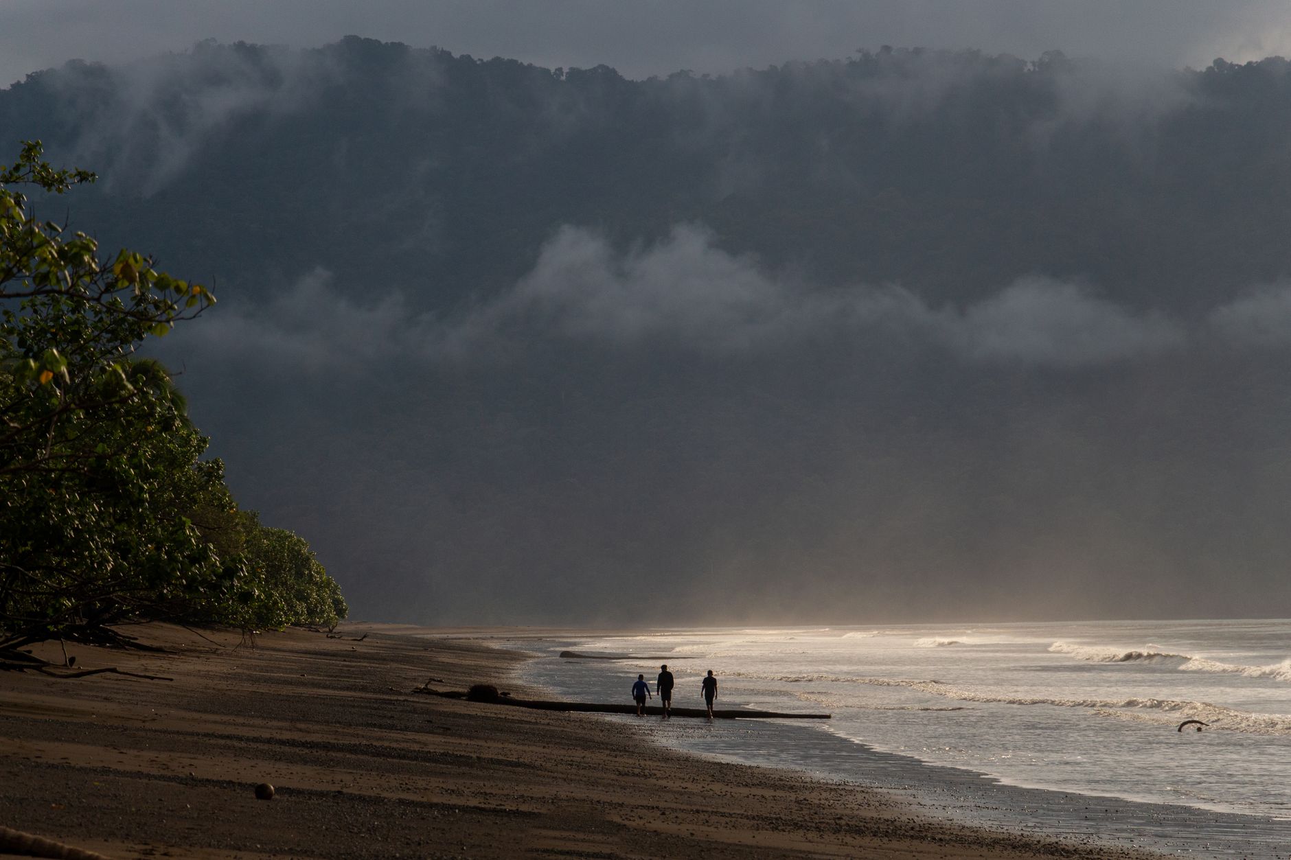
On the Osa Peninsula, at the southwestern tip of Costa Rica, Corcovado holds roughly 424 square kilometres of primary rainforest that was still being logged into the early 1970s. What stopped the chainsaws was a government declaration in October 1975 — and what remains is one of the largest intact stretches of Pacific lowland rainforest in the Americas, home to all four of Costa Rica's monkey species, tapirs, scarlet macaws, and the largest population of jaguars in Central America.
Getting here takes effort. You fly into Drake Bay or bus to Puerto Jiménez, then arrange a certified guide — not a formality but a firm requirement that rangers enforce at every entrance. That friction is the point: it keeps the crowds thin and the forest genuinely wild.
How Corcovado National Park came to be
Before 1975, the Osa Peninsula was largely overlooked by industry and government alike. Settlers had been farming, ranching, and panning for gold here since the 1930s, and when commercial loggers arrived in the 1960s they found untouched forest and spent roughly fifteen years working through it. The Costa Rican government, responding to accelerating national deforestation, declared Corcovado a National Park on October 24, 1975.
The declaration came at a human cost. Around 166 families — approximately 1,500 people who had built lives on the peninsula — were displaced. Tensions persisted for years; by 1985, some displaced groups were threatening to reclaim the land. The park's existence today sits on that complicated ground: a conservation success story inseparable from the displacement that made it possible.
Who and what shaped it
Landmark buildings
See Corcovado National Park in motion
Plan your visit
On the map
When to go
Corcovado has a pronounced dry season from December through April, when trails are passable and wildlife concentrates near water sources — the best window for a first visit. The rest of the year brings heavy, sustained rain; by October, trails at Sirena wash out entirely, and the station closes for the month.
Right now
Background & history adapted from Wikipedia (CC BY-SA) · specs from Wikidata (CC0) · weather from Open-Meteo · map data © OpenStreetMap contributors · photos from Wikimedia Commons / Unsplash with per-image credit. No third-party reviews or social posts reproduced.