
Condado
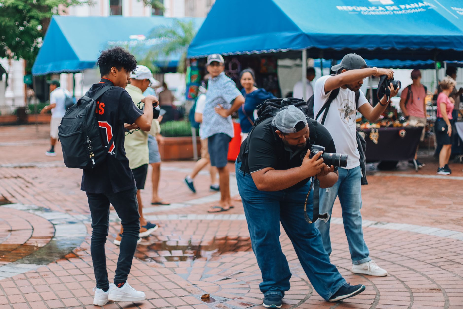
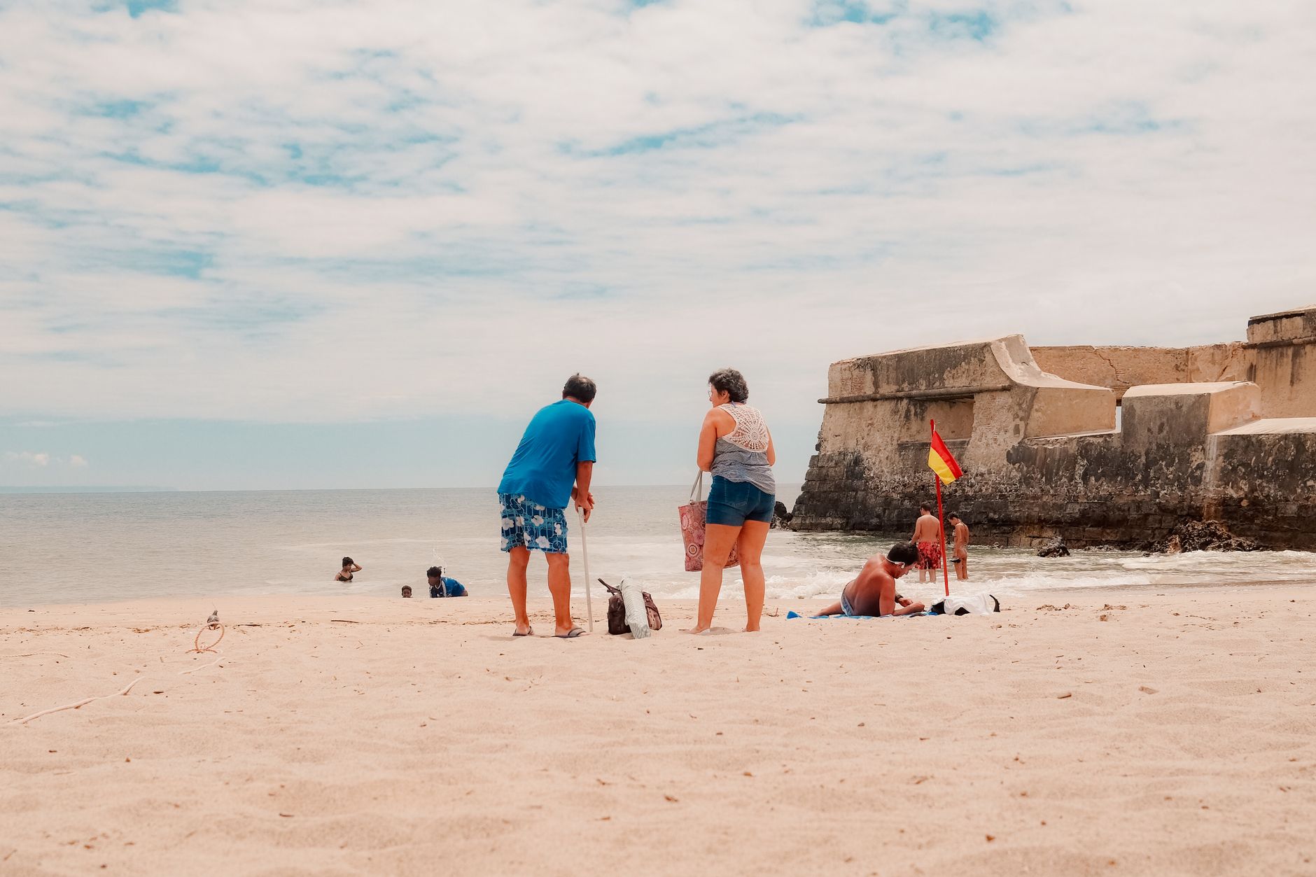
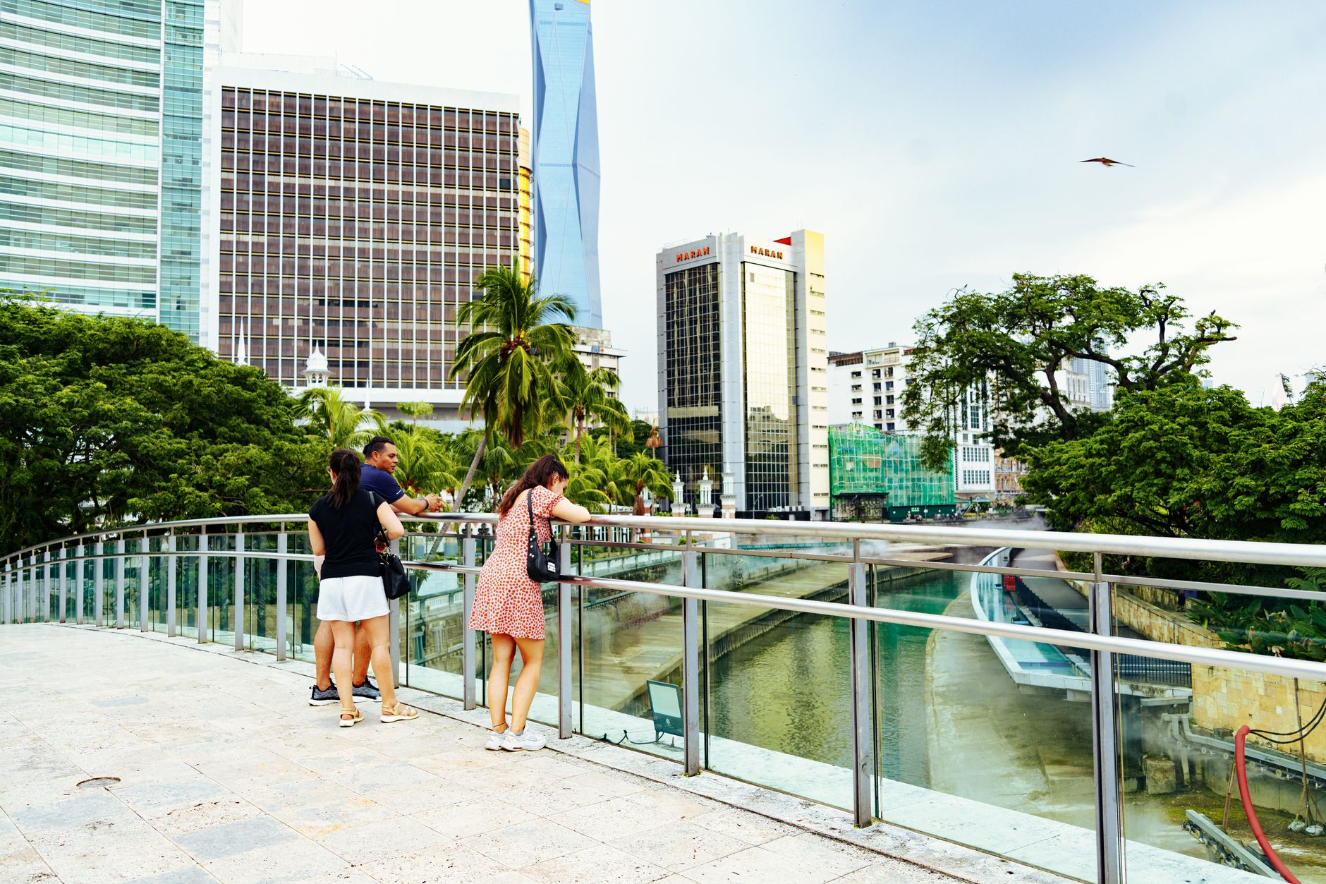
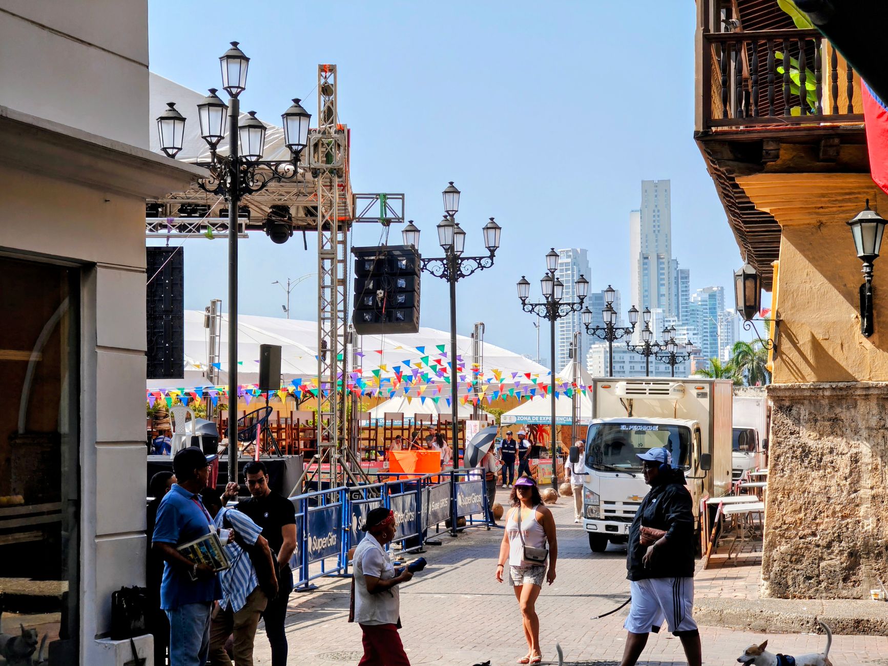
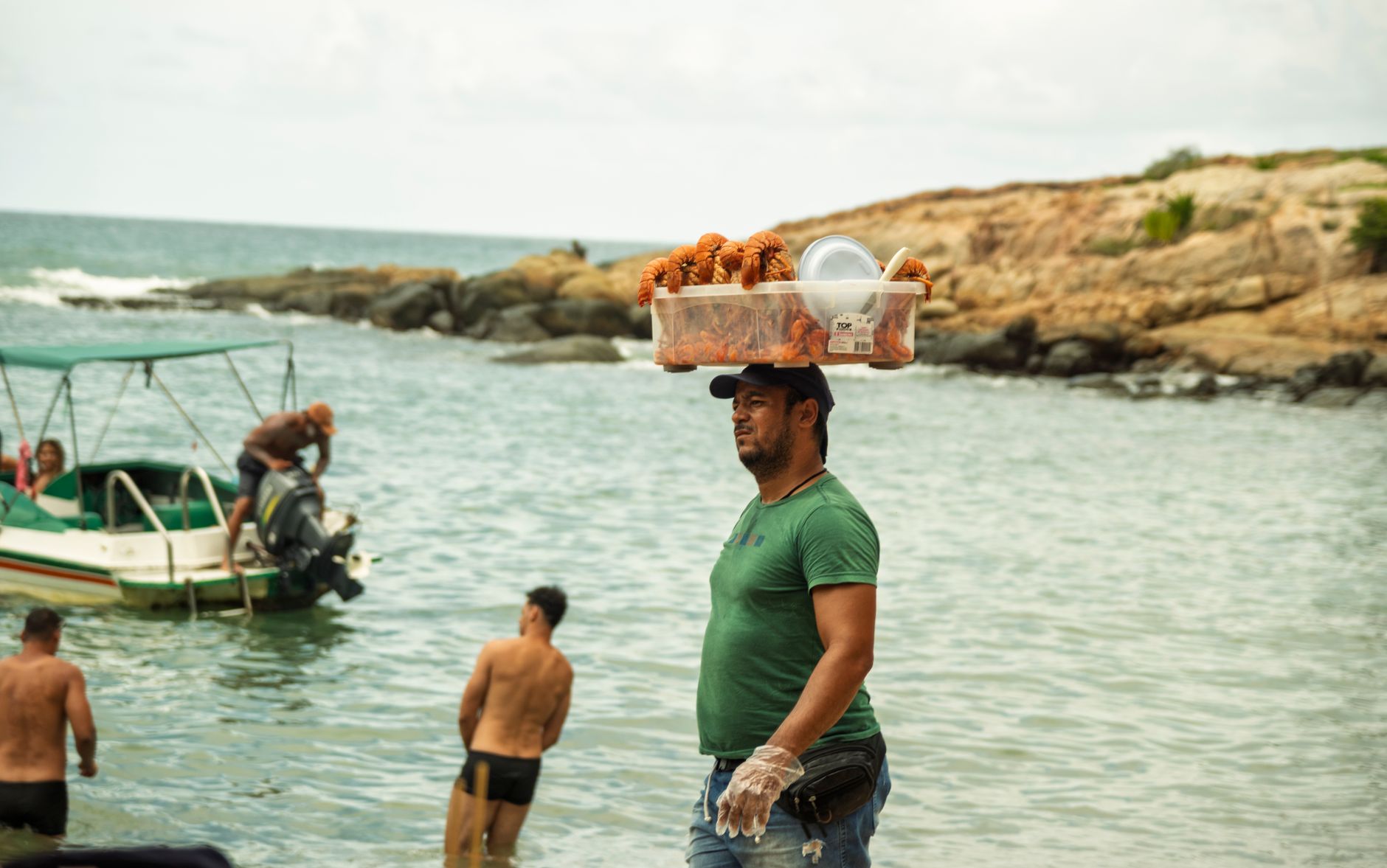
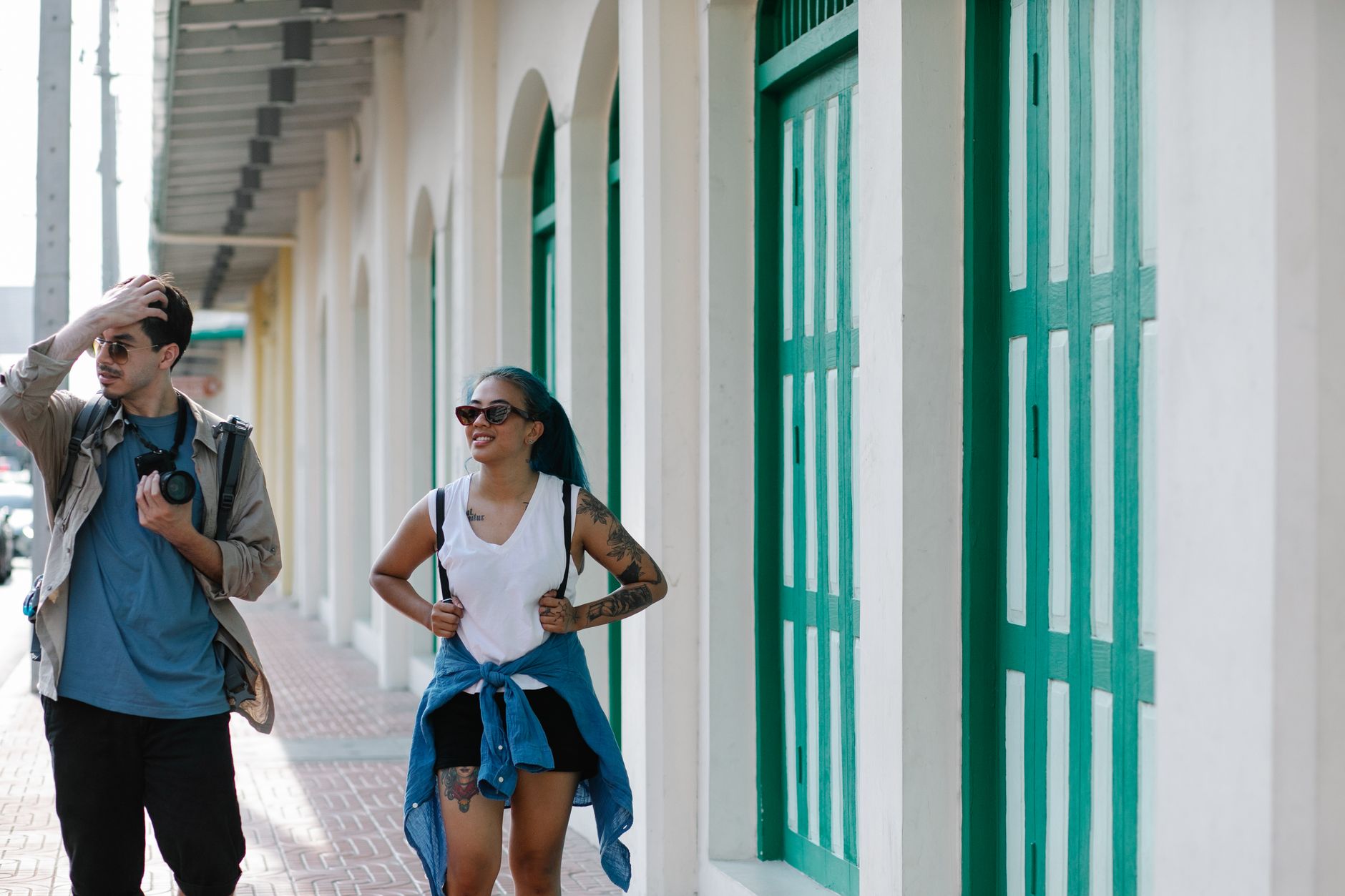
Condado runs along a narrow strip of land between the Atlantic and the Condado Lagoon, and its main artery — Ashford Avenue — does a reasonable impression of a tropical boulevard: shade trees, salt air, a Vanderbilt-era hotel at one end and a mid-century resort curve at the other. The beach is wide, the water is warm, and the neighbourhood manages to be both genuinely residential and a serious place to stay.
It sits about ten minutes from the airport and a short ride from Old San Juan, which makes it a practical base without feeling like a transit lounge. Walkability is real here — you can cover most of what you need on foot, which is not always true of Puerto Rico's more spread-out resort zones.
How Condado came to be
The name traces back to Count Pablo Ubarri, who built Puerto Rico's first passenger tramway in 1880 — a line that ran from Old San Juan through Santurce and eventually linked what would become Condado to the city. Urbanisation began in earnest in 1908, when American brothers Hernan and Sosthenes Behn acquired land here. They went on to found the Puerto Rico Telephone Company, WKAQ Radio and the Puerto Rico Chamber of Commerce; the Puente Dos Hermanos — Two Brothers Bridge — was named in their honour. Their own home stood in the neighbourhood they helped build.
In 1919, Frederick William Vanderbilt commissioned Warren and Wetmore — the firm behind Grand Central Terminal — to design what became the island's first luxury hotel, opened that October for one million dollars. A second wave came in the 1950s and 60s under Operation Bootstrap, Puerto Rico's industrialisation programme, which brought large hotels including La Concha Resort to the shoreline.
Who and what shaped it
People who shaped it
Landmark buildings
See Condado in motion
Plan your visit
On the map
When to go
Temperatures stay warm year-round, ranging from around 28°C (82°F) in February to 31°C (88°F) in August, with nights rarely dropping below 22°C (72°F). December through April is the driest window; summer brings heavier rain and the possibility of hurricanes from August onward.
Right now
Background & history adapted from Wikipedia (CC BY-SA) · specs from Wikidata (CC0) · weather from Open-Meteo · map data © OpenStreetMap contributors · photos from Wikimedia Commons / Unsplash with per-image credit. No third-party reviews or social posts reproduced.