
Cobán
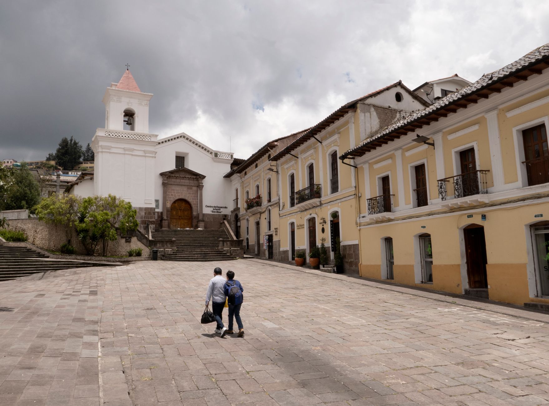

Cobán sits on a plateau in the highlands of Alta Verapaz, where the air stays cool year-round and cloud forest creeps down the hillsides. The city earned the title of Imperial City from Holy Roman Emperor Charles V in 1538, a distinction that still appears on official seals and feels oddly fitting for a place that carries its history so visibly — in a 16th-century cathedral, a hilltop church reached by 1,355 steps, and coffee fincas whose origins trace back to German settlers who arrived in the late 1800s.
This is a working Guatemalan city, not a tourist town, and that's largely the point. You come here to slow down, drink excellent coffee at its source, and use Cobán as a base for the cloud forests, rivers, and caves that make Alta Verapaz one of the country's most quietly compelling regions.
How Cobán came to be
The Spaniards formally founded Cobán on August 4, 1543, near the site of an existing Mayan settlement and named it after the local chieftain Cobaóu. Dominican friar Bartolomé de las Casas established it as the center of Catholic doctrine in the region, and the Cathedral of Santo Domingo de Guzmán, built that same year, still stands as one of the oldest structures in the area. Around 1870, the indigenous community, under the supervision of Casique Francisco Pop, built El Calvario Church on a hilltop overlooking the city.
From the late 19th century, German coffee growers transformed Alta Verapaz economically. Families like the Dieseldorffs founded estates such as Finca Margarita in 1888, and by 1930 roughly 2,000 Germans lived in and around Cobán. In 1941, under President Jorge Ubico and pressure from the United States, all Germans were expelled — closing a chapter that had lasted barely two generations but left a deep imprint on the region's coffee culture.
Who and what shaped it
People who shaped it
Landmark buildings
See Cobán in motion
Plan your visit
On the map
When to go
Cobán runs cooler and wetter than most of Guatemala, with daytime temperatures rarely climbing above 28°C (82°F) even in the warmest months. The rainy season stretches from May through December, with June bringing the heaviest downpours; January through April offers the driest, clearest window for visiting.
Right now
Background & history adapted from Wikipedia (CC BY-SA) · specs from Wikidata (CC0) · weather from Open-Meteo · map data © OpenStreetMap contributors · photos from Wikimedia Commons / Unsplash with per-image credit. No third-party reviews or social posts reproduced.