
Chichicastenango
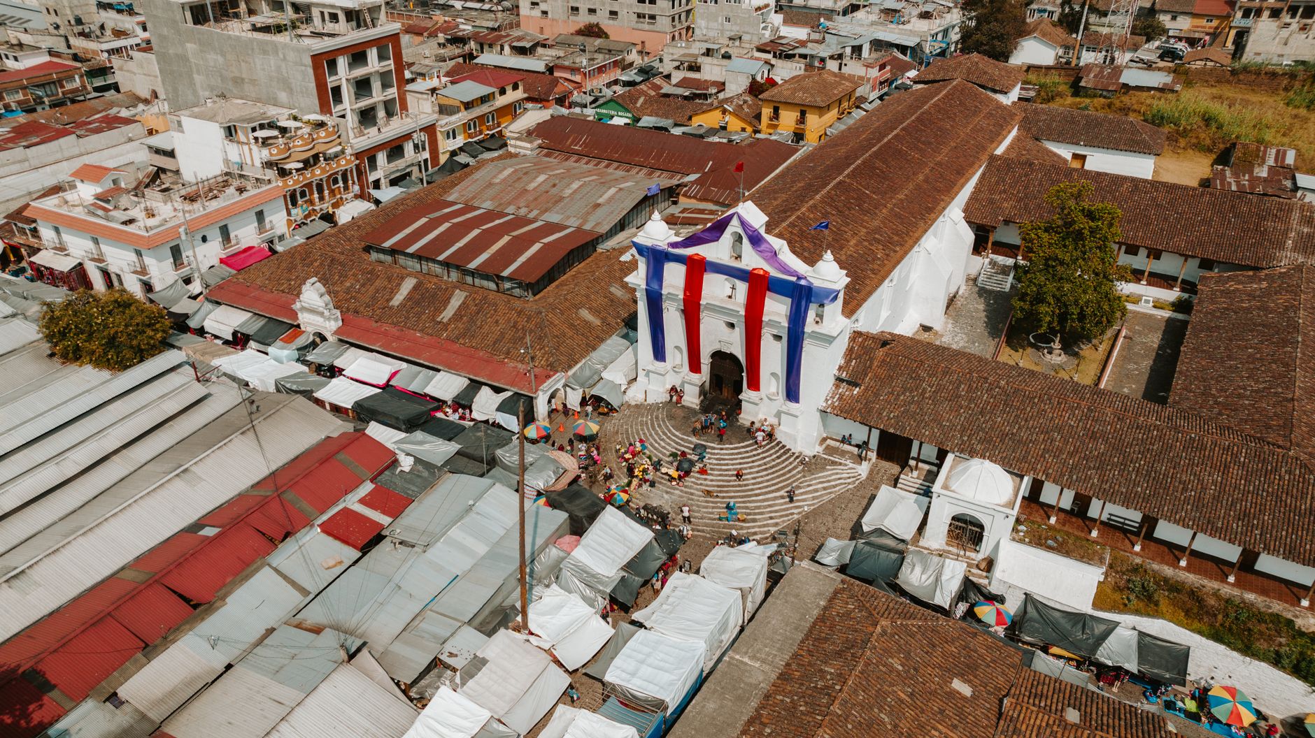
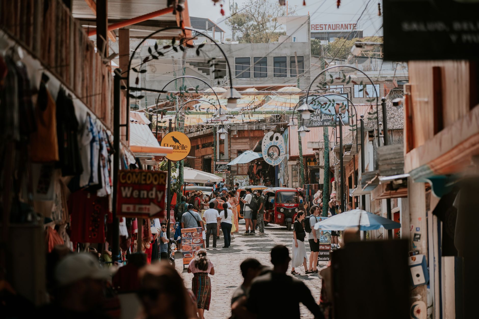
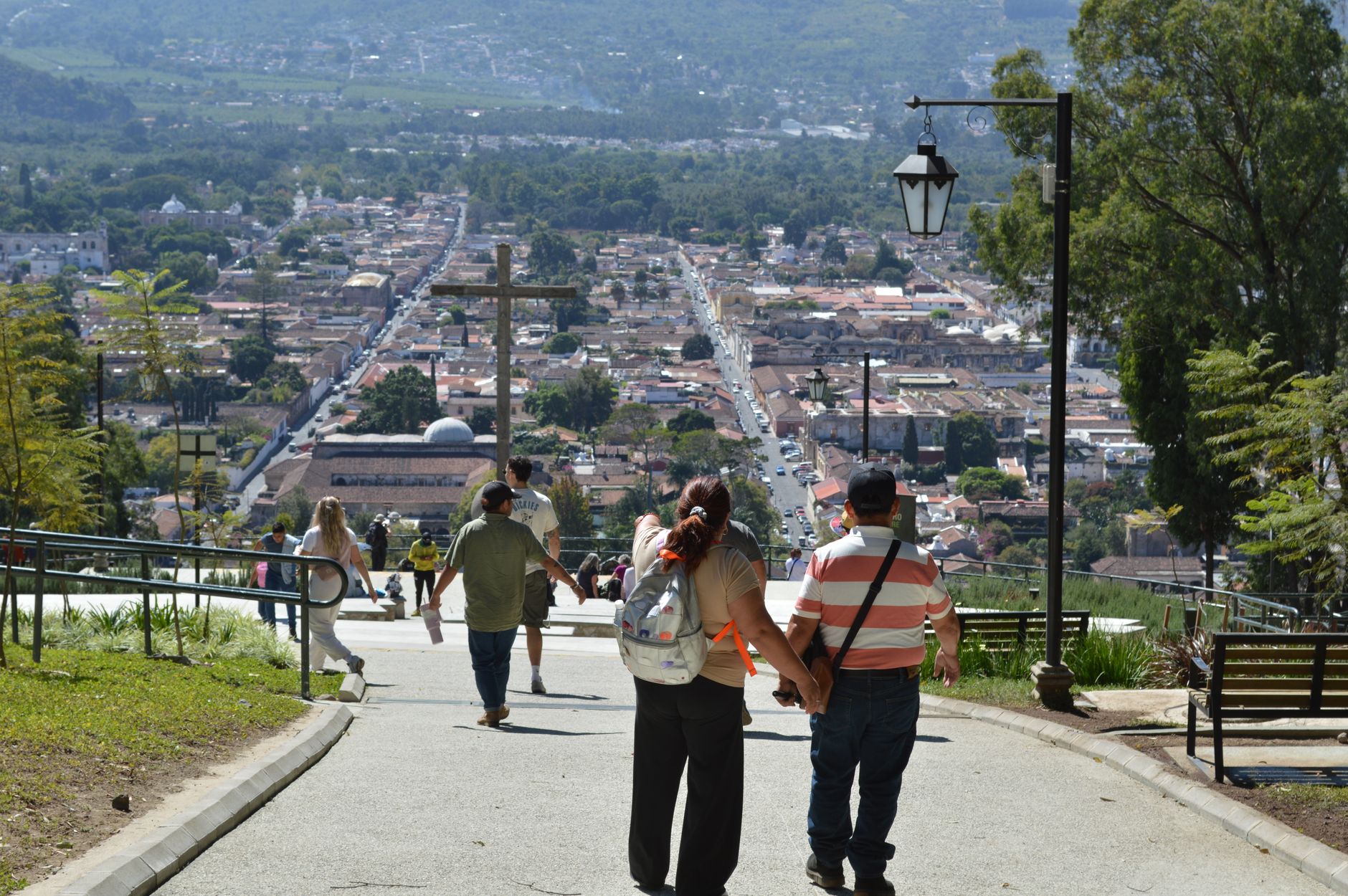
Twice a week — every Thursday and Sunday — the central plaza of Chichicastenango fills with vendors selling hand-woven textiles, marigolds, copal incense, and ceramic figures, just as it has for more than five centuries. The market predates the Spanish conquest; the town itself was built on top of a K'iche' Maya settlement, and that layering is visible everywhere you look.
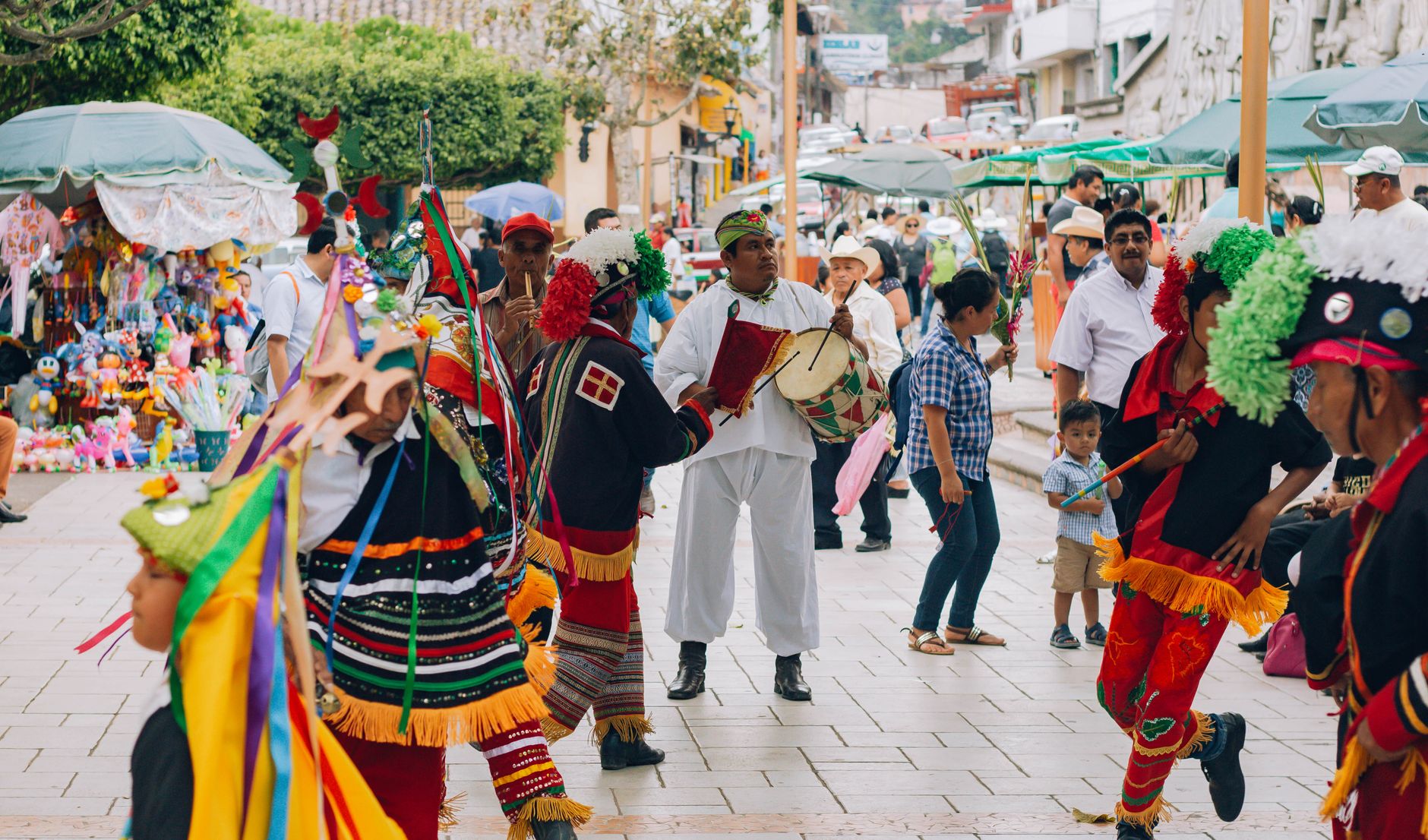
Nearly all of the municipality's 71,000 residents are K'iche' Maya, and around a fifth speak no Spanish at all. This is not a place that performs its culture for outside eyes — it simply continues it, which makes arriving here feel less like tourism and more like witnessing.
How Chichicastenango came to be
Before the Spanish arrived, this place was called Chaviar and served as a market centre for the Cakchiquel Maya. After the K'iche' defeat in 1524, the Spanish reestablished the town and renamed it from the Nahuatl Tzitzicaztenanco — City of Nettles. The two churches on the plaza, both built around 1540, were raised over pre-Columbian temple platforms; the 18 stone steps leading up to Iglesia de Santo Tomás correspond to the 18 months of the Maya Haab solar calendar.
In 1701, a Spanish priest named Francisco Ximénez earned enough trust from the local community that he was permitted to read the Popol Vuh — the K'iche' Maya creation epic — and copy it out. That manuscript survives. The rituals it describes are still performed on those church steps today.
Who and what shaped it
People who shaped it
Landmark buildings
See Chichicastenango in motion
Plan your visit
On the map
When to go
Chichicastenango sits at altitude, so temperatures stay mild year-round — warm afternoons in the low-to-mid 20s Celsius, cool nights that can dip to 13°C in November. The dry season runs November through April, which is the more comfortable window to visit; May through October brings heavy rain, with June averaging 25 wet days.
Right now
Background & history adapted from Wikipedia (CC BY-SA) · specs from Wikidata (CC0) · weather from Open-Meteo · map data © OpenStreetMap contributors · photos from Wikimedia Commons / Unsplash with per-image credit. No third-party reviews or social posts reproduced.