
Cerro da Vila Roman Ruins
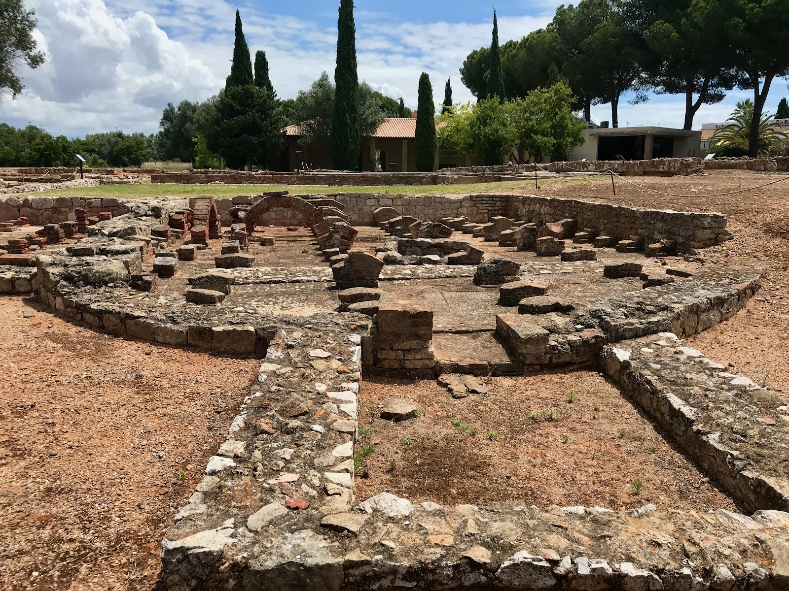
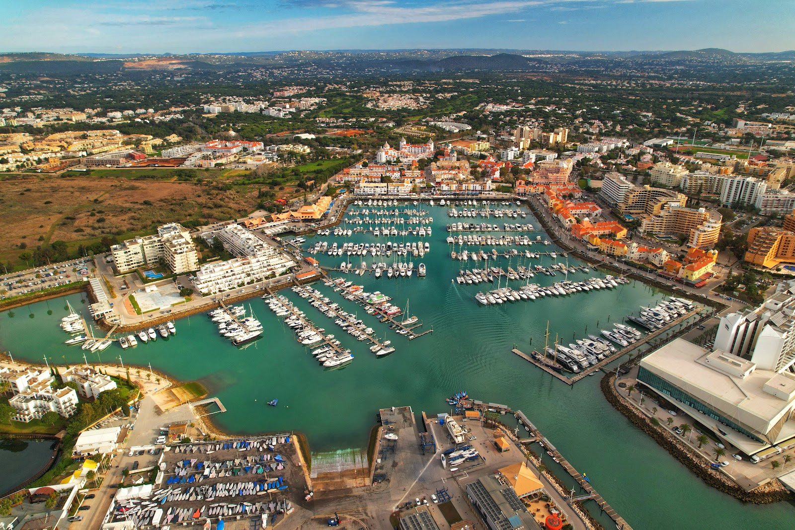
A farmer turning soil in 1963 struck something harder than expected — and what followed was the slow uncovering of a Roman settlement that had been quietly underfoot for two millennia. Cerro da Vila, sitting just back from Vilamoura Marina, turns out to be one of the Algarve's most layered archaeological sites: a working complex that once produced garum, the pungent fish paste that Roman kitchens across the empire depended on.
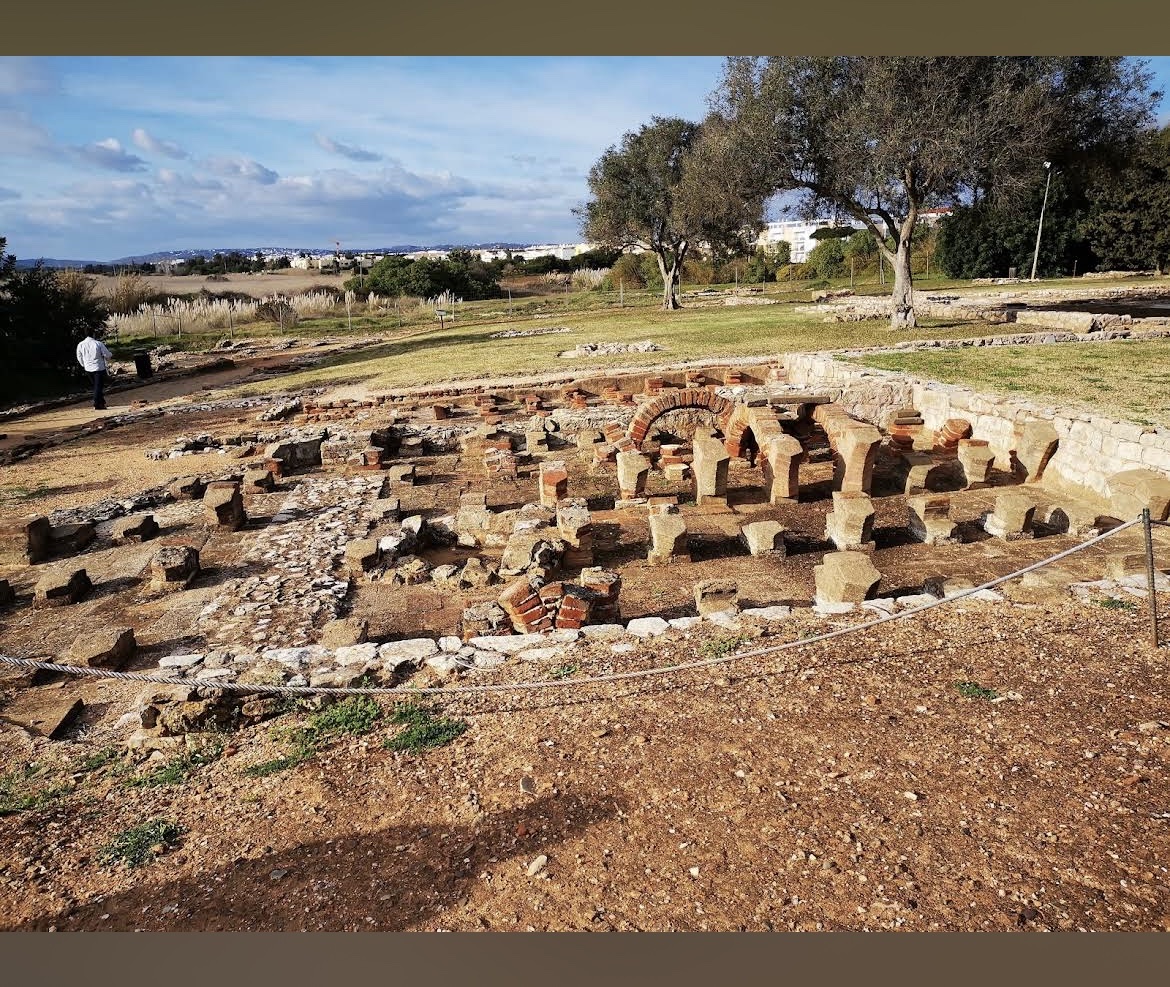
The foundations you walk among belonged to a world that included two residences, public baths, a ceramic kiln, funerary zones, and a small port on what was then a deep-water lagoon. After Rome, Visigoths moved through, then Arab settlers, whose grain silos were cut directly into Roman floors — occupation folded on top of occupation, readable in the ground.
💛 What travellers fall for
People who visit twice tend to spend longer in the museum on the second pass — the mosaics reward close attention, and the Islamic-period artifacts sit alongside Roman pieces in ways that make the timeline feel genuinely strange and real. Go early, before the sun is fully up over the site; there's no shade outside, and the light is better for photographs anyway.
The story behind Cerro da Vila Roman Ruins
The site dates to the reign of Augustus — roughly 27 B.C. to 14 A.D. — when a Roman family built a villa with harbour access, baths, a press for olive oil and wine, and facilities for processing fish into garum. Where reeds and marsh now separate the ruins from the Quarteira River, there was once a navigable lagoon deep enough to serve as a working port.
After Roman occupation ended, the site passed to Visigoths and then, from the 8th century, to Moorish settlers who used the standing Roman structures and dug their own storage silos into the floors. By the early 11th century the site was abandoned entirely. Engineer José Farrajota led the first excavation after the farmer's 1963 discovery, working alongside Lieutenant Colonel Afonso do Paço and Dr. Fernando de Almeida. Architect Fernando Galhano designed the interpretive centre that opened in 2000, and resident archaeologists Ana Pratas and Filipe Henriques have been cataloguing the finds for over two decades since.
Good to know
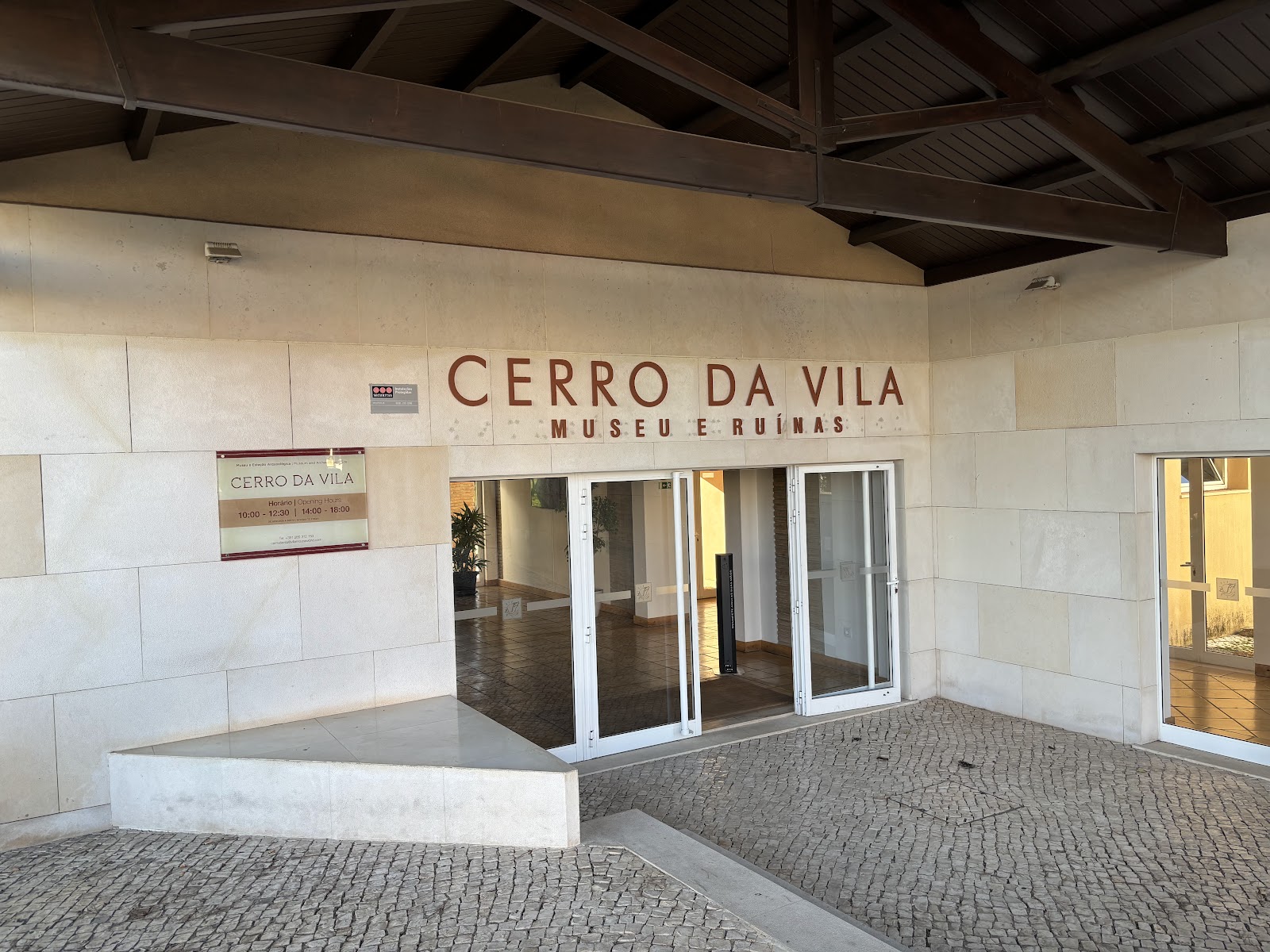
Open Monday to Friday, 9:30–12:30 and 14:00–18:00; closed weekends. Adults €4, students and seniors €2, under-13s free. A five-minute walk from Vilamoura Marina — past the post office, before the Lake Resort. Plan 45–60 minutes. Confirm hours before visiting in shoulder season.
The site is fully outdoors apart from the museum building, so summer visits (July and August can reach 38°C) are best made early in the morning. Spring and autumn — May, June, and September particularly — offer comfortable temperatures and far fewer people on the surrounding streets.
Where is Cerro da Vila Roman Ruins?
More tickets & tours for Cerro da Vila Roman Ruins
Book directly at the provider
What travellers say about Cerro da Vila Roman Ruins
Fantastic little museum with Roman Villa romains. My family & I spent an hour here exploring the remains and reading the information boards. The cost was €4 per adult (children were free) and the lady on the front desk was lovely. The place is shut between 12:30-14:00hs but reopens. Worth a visit if your in the area.
Ruins of large roman villa, well marked out and lots of information. The ground is quite uneven so be careful. Good indoor exhibition with a good variety of exhibits. Definitely worth a visit and only 2euros entry.
What an incredible place, a hidden gem in Vilamoura. This evening was an outdoor cinema experience, watching the classic movie Pretty Woman. Organised really well & fully booked, this is the second year they have been running this event. You have to be on the guest list to attend but when you go, you will be amazed, a very special evening was had by all. Fresh popcorn & soft drinks were there to purchase, the roman remains were showcased with ambient lighting.
Highly recommend it! Stumbled upon it by accident whilst walking around the marina. It was a nice cultured break from the flashy boats and overpriced bars in the marine. Really interesting to see something like this up close. Sensible footwear recommended and like someone else said, there is no shade so go early or late. An excellent museum showing artifacts and a great little walk round guide which is free. Cost us €2 to get in (student price) and the lady working there spoke fluent English.
Lovely little roman villa and cheap to visit. Staff friendly and helpful.
More of Vilamoura
Discover where to stay, what to do and the best deals for your trip.
Explore Vilamoura →More attractions in Vilamoura
All of Vilamoura →

Background adapted from Wikipedia (CC BY-SA) · map data © OpenStreetMap contributors · ratings & place photos via Google · other photos with per-image credit. Ticket links may earn us a commission at no extra cost to you.