
Central Promenade Pathway
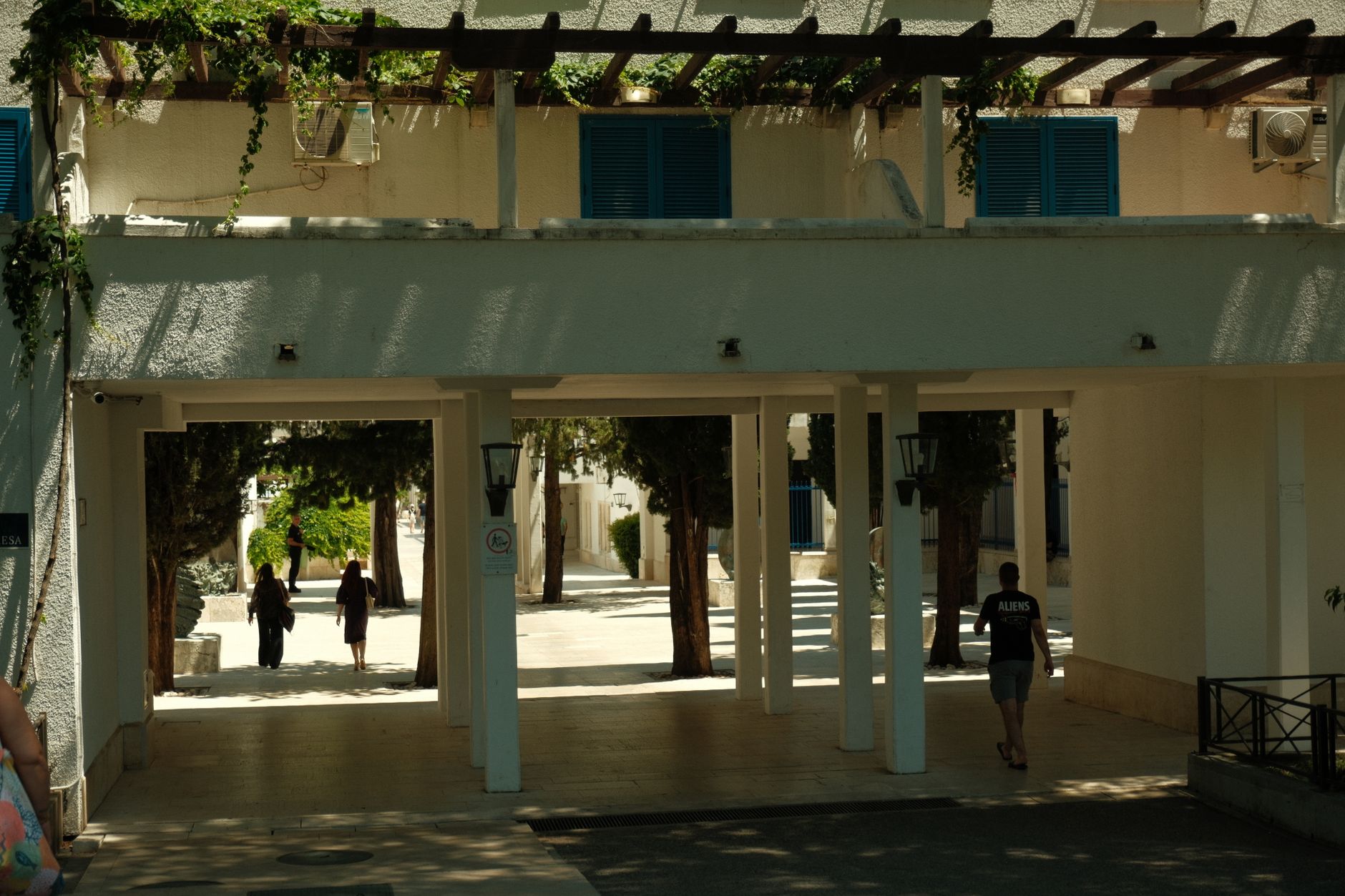
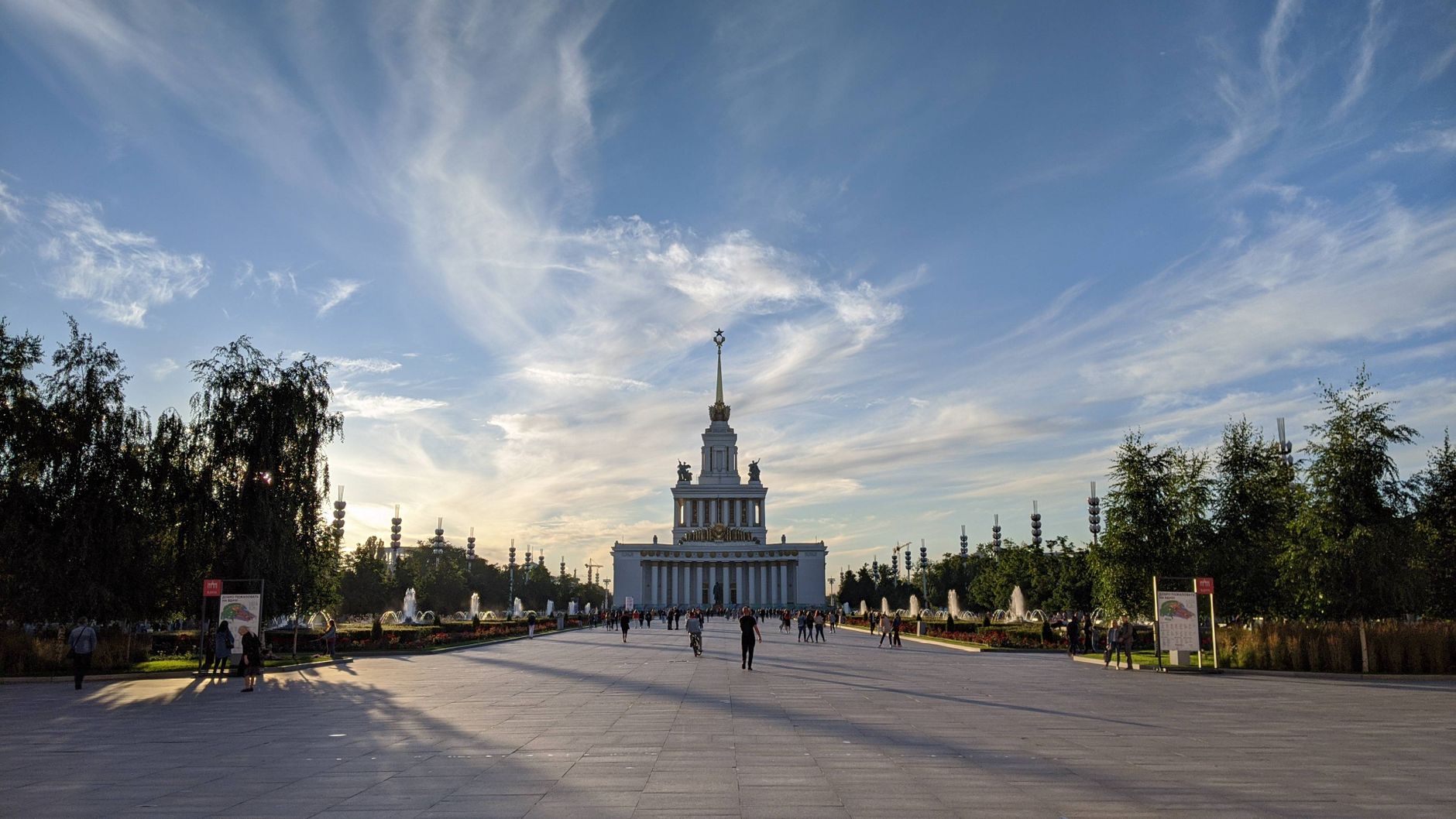
The Central Promenade Pathway runs straight as a surveyor's line through the Agdal Gardens, flanked on either side by olive trees spaced ten metres apart with the precision of someone who understood both geometry and shade. Walk it and you quickly understand that this is not a garden designed for wandering — it is designed for orientation, for moving deliberately between water and orchard and pavilion along a north-south axis that has held its logic for nearly nine centuries.
Beyond the olive row, the orchards begin: orange, fig, pomegranate, apricot. The yellow pisé walls that ring the whole estate catch the afternoon light differently than the medina's red clay, and the contrast is worth pausing over.
💛 What travellers fall for
People who come back tend to arrive early on a Friday, when the light is still low and the path is cool underfoot. The walk from Rue Sidi Mimoun through the gate sets the rhythm — don't rush toward the Grand Basin straight away. The promenade itself, with the olive canopy and the silence, is the thing worth slowing down for.
How Central Promenade Pathway came to be
The gardens were commissioned in 1157 by the Almohad Caliph 'Abd al-Mu'min bin 'Ali al-Kumi, and the man who laid out their geometry was Ahmad ibn Muhammad ibn Milhan, an engineer of Berber origin trained in Al-Andalus. The north-south axis that the promenade still follows was his — aligned deliberately with the gate of Dar al-Hana and, beyond it, with the Kasbah. Water arrived then as it does now, through underground khettara channels drawing from the Ourika River valley in the High Atlas, some thirty kilometres south.
By the nineteenth century the gardens had fallen into neglect. Sultan Abd ar-Rahman began replanting and restoring them after 1822, and his successor Muhammad IV completed the work. UNESCO recognised the site as a World Heritage property in 1985, together with the medina and the Menara Gardens.
Who and what shaped it
People who shaped it
Landmark buildings
See Central Promenade Pathway in motion
Plan your visit
On the map
When to go
March through April and late September into November are the most comfortable months to walk the promenade — warm without the punishing heat of summer, when midday temperatures regularly push past 38°C and the shade of the olive row becomes a practical necessity rather than a pleasure. Winter days are mild enough, around 19°C in January, though nights drop sharply.
Right now
Background & history adapted from Wikipedia (CC BY-SA) · specs from Wikidata (CC0) · weather from Open-Meteo · map data © OpenStreetMap contributors · photos from Wikimedia Commons / Unsplash with per-image credit. No third-party reviews or social posts reproduced.