
Cabo Rojo

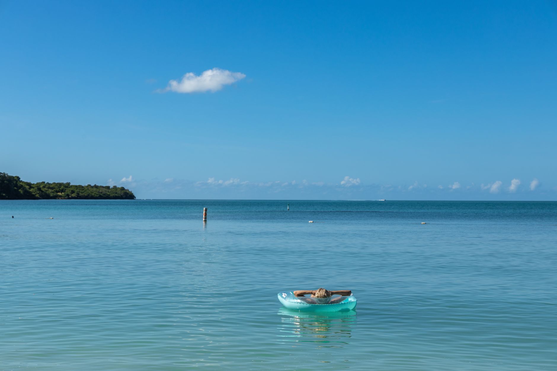
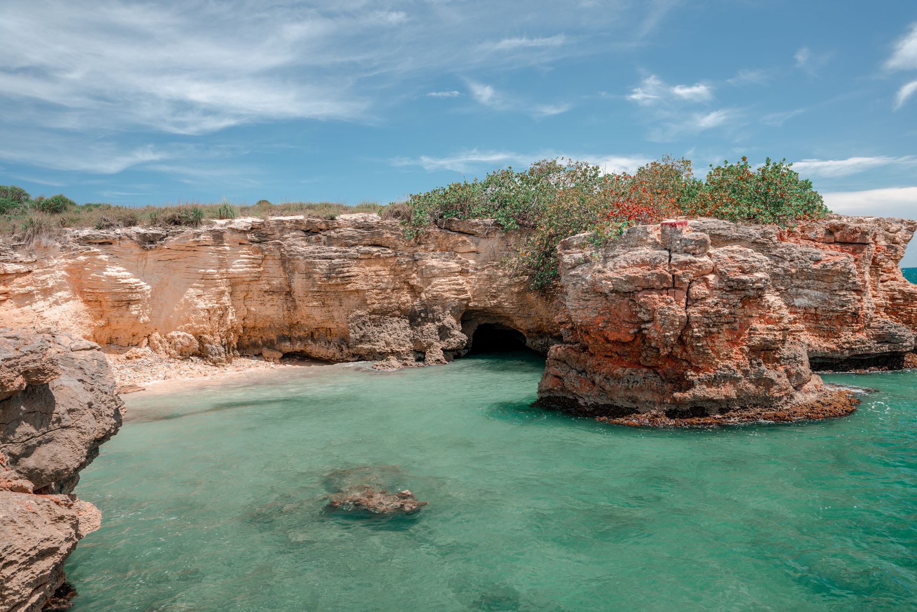
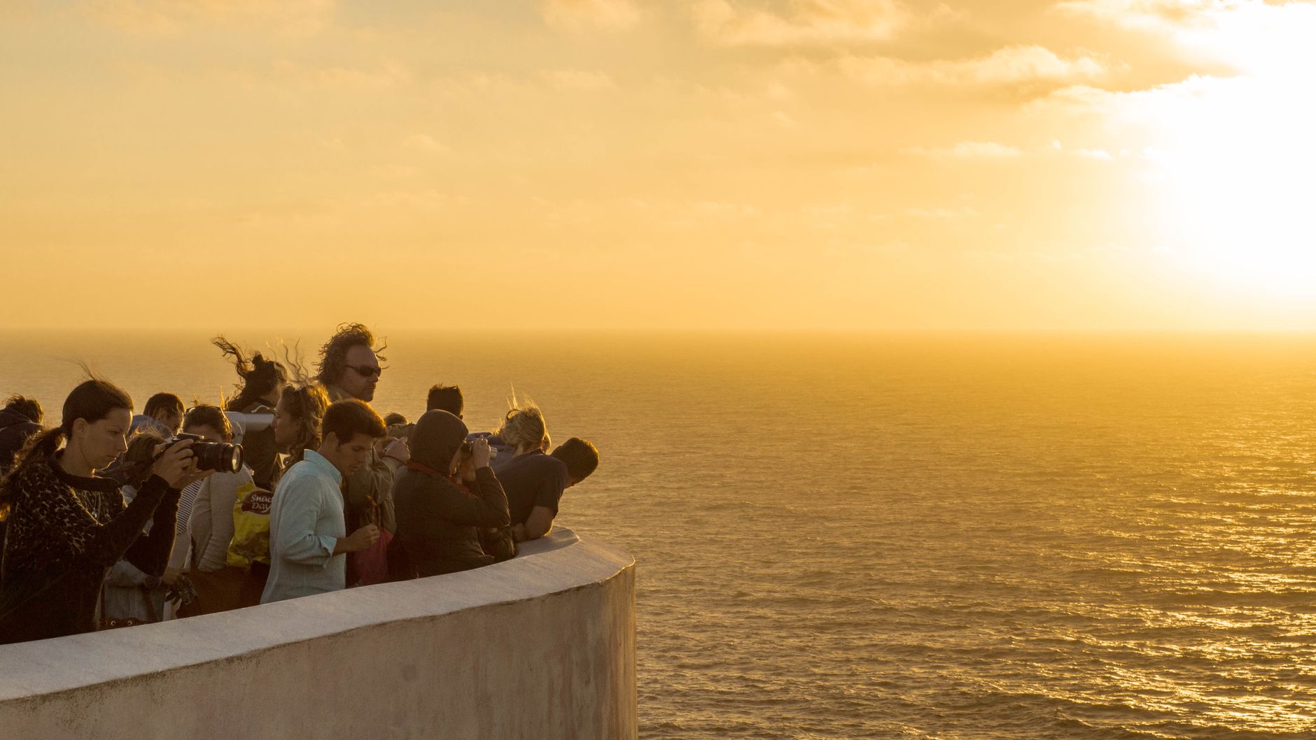
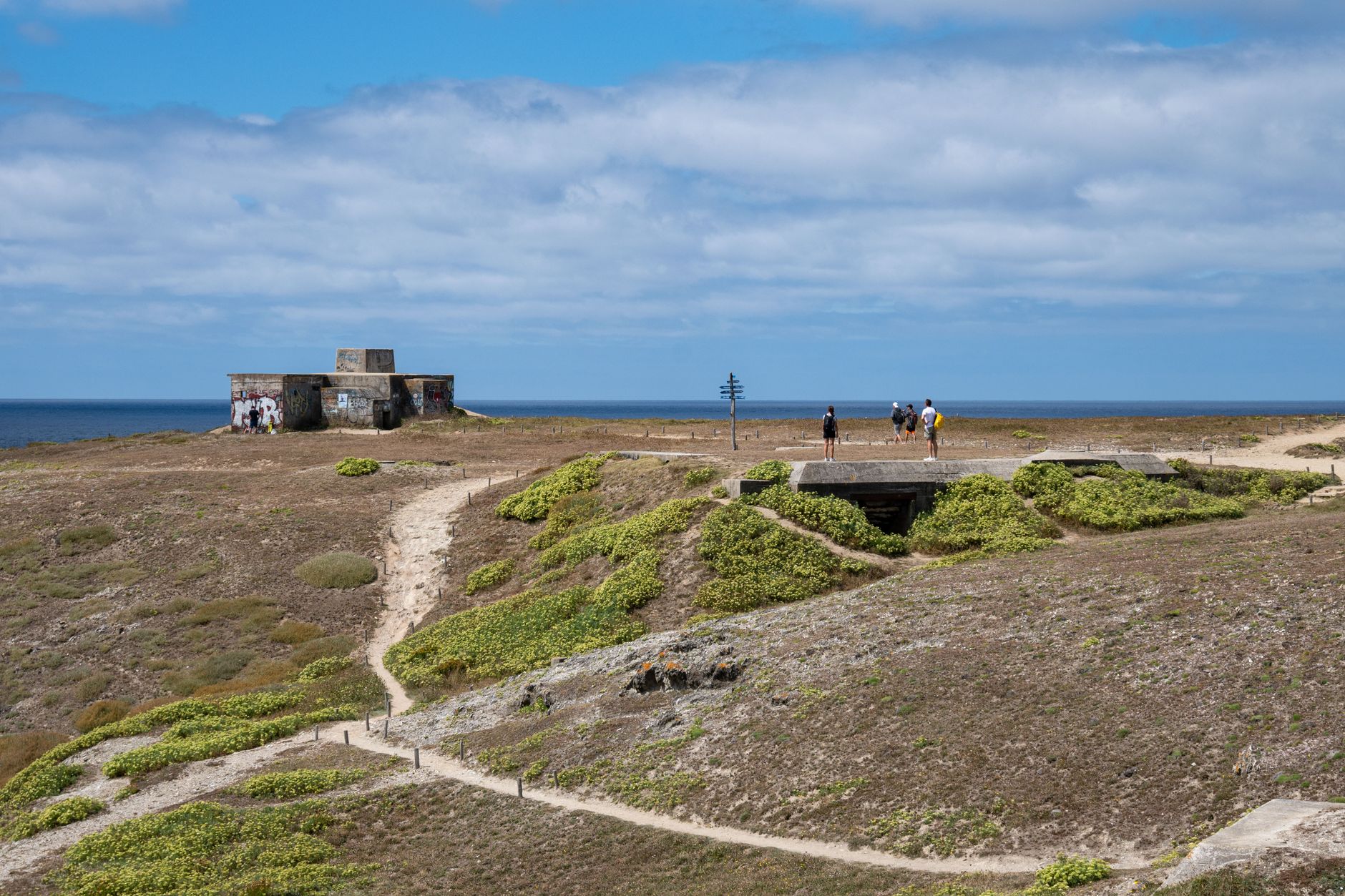
The name gives it away: the minerals in these coastal soils turn the water a deep reddish hue at certain hours, and the light here does things you won't find on Puerto Rico's more-photographed shores. Cabo Rojo occupies the island's southwestern corner — limestone cliffs, salt flats that have been worked since before Columbus arrived, and a lighthouse perched 200 feet above the Caribbean that has guided ships since 1881.
This is a region best explored by car, at your own pace, across beaches that sit only minutes apart. The town itself is small and unhurried, with a church that predates the American Revolution and a free museum where Puerto Rico's revolutionary history is given room to breathe.
How Cabo Rojo came to be
Salt is the oldest thread running through Cabo Rojo. The flats at Las Salinas were worked by the Taíno people long before Spanish settlers arrived around 1511, and that industry has run continuously ever since — making it one of the longest-operating salt operations in the Western Hemisphere, still producing over 12,000 tons annually. The name Los Morrillos dates to those early colonial years.
The town itself was formally founded on December 17, 1771, by Nicolás Ramírez Arellano and Miguel de Muesas, after an earlier petition in 1759 was denied. It produced outsized figures: Ramón Emeterio Betances, born here in 1827, became a physician, abolitionist, and the revolutionary known as the Father of the Puerto Rican Nation. The historian Salvador Brau and the pirate Roberto Cofresí — a local anti-hero of another stripe — also came from these shores.
Who and what shaped it
People who shaped it
Landmark buildings
See Cabo Rojo in motion
Plan your visit
On the map
When to go
Temperatures stay warm year-round, ranging from around 70°F in cooler months to the high 80s in summer, with July the hottest. The southwestern corner of Puerto Rico sits in a rain shadow, so Cabo Rojo is considerably drier than the rest of the island — January and February see almost no rain, while September is the wettest month by a significant margin.
Right now
Background & history adapted from Wikipedia (CC BY-SA) · specs from Wikidata (CC0) · weather from Open-Meteo · map data © OpenStreetMap contributors · photos from Wikimedia Commons / Unsplash with per-image credit. No third-party reviews or social posts reproduced.