
Breitachklamm
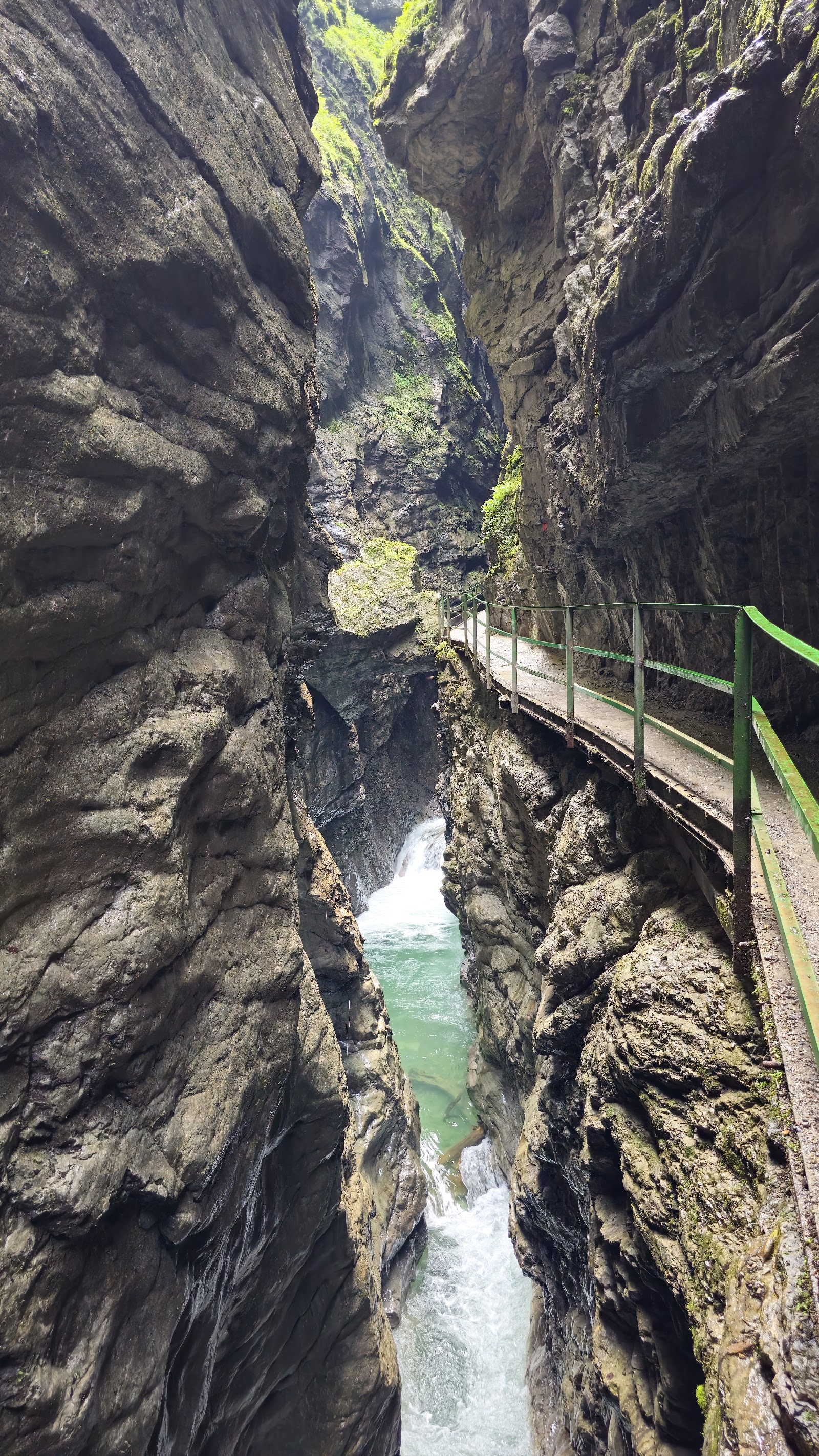
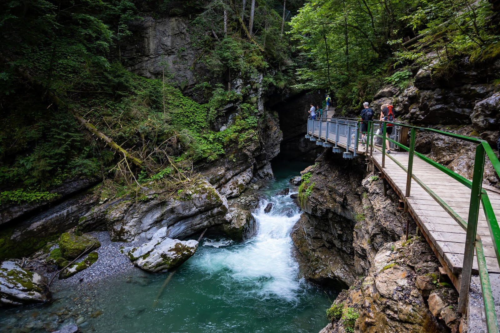
The Breitach river has been cutting through this limestone and conglomerate for ten thousand years, and the gorge it made — 2.5 kilometres long, walls rising to 150 metres — still has the feel of something the world hasn't quite finished with. Walk the wooden platforms and you're close enough to the water to get a cold spray on your face, close enough to see how the current carves deep green pools before it thunders over the next shelf of rock.
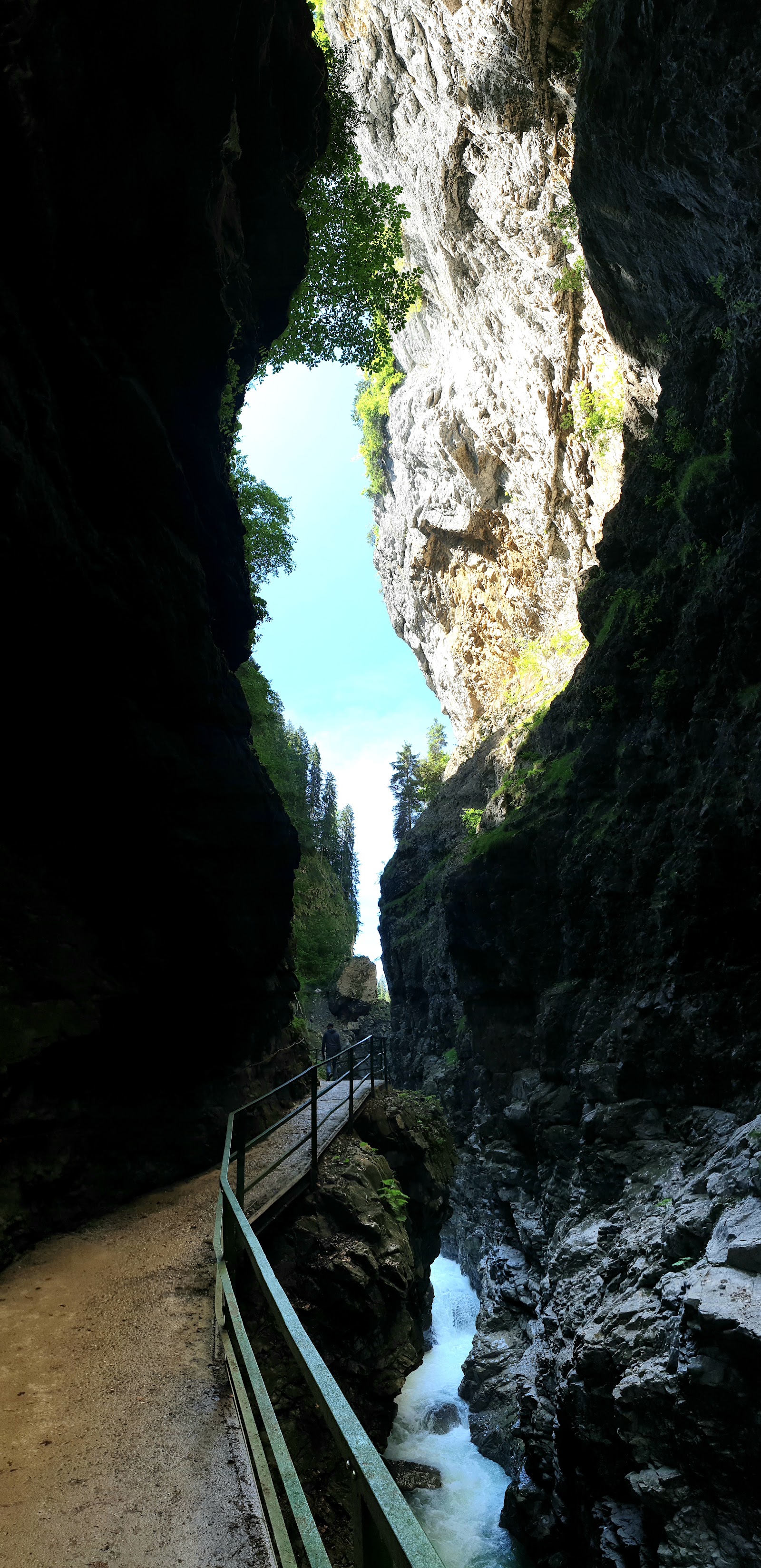
The path runs from the lower entrance at Tiefenbach up through the narrowest sections to the Zwingsteg bridge, where the ravine walls lean in overhead. Two and a half kilometres return, an hour and a half if you take your time.
💛 What travellers fall for
People who come back tend to come back in winter. The torchlight hikes run twice weekly from December through February or March, and the gorge earns them — the water drops, ice formations build on the rock faces, and icicles hang thick from the overhangs. Bring cash if you're entering from the upper Walserschanz side; the gate there doesn't take cards.
The story behind Breitachklamm
The gorge was known long before anyone could walk through it safely, but the first attempts at public access in the late nineteenth century came to nothing. It was Pastor Johannes Schiebel of Tiefenbach who made it happen — he founded the Breitachklammverein eG, the cooperative that still runs the site today, and pushed through the first blasting on 25 July 1904. The gorge opened to visitors on 4 June 1905.
It has not always stayed open. On 23 September 1995 a rockfall of 50,000 cubic metres dammed the river 30 metres high; when the water broke through the following March it caused around €150,000 in damage. Restoration took close to a decade. The gorge reopened in 2004, and in 2016 the Breitachklammverein acquired the old Walserschanz border house at the upper entrance — a guesthouse on the Austria-Germany boundary that had operated until 2013 — to develop the entrance area.
Good to know
Take the Walserbus line 1 to Walserschanze for the upper entrance, or bus line 44 from Oberstdorf to Tiefenbach for the lower. The gorge closes in early November and again mid-March to end-April for maintenance. Upper section closes 45 minutes before the posted time. Not pram-accessible; sturdy footwear is genuinely necessary.
Summer brings cool air deep in the gorge even on hot days above, and high water makes the river loud and impressive. Winter changes the character entirely: the flow slows, ice sculptures and icicles form on the walls, and the torchlight hikes offer a version of the place most visitors never see.
Where is Breitachklamm?
More tickets & tours for Breitachklamm
Book directly at the provider
What travellers say about Breitachklamm
The place is amazing as it offers a very nice path accross a river gorge which is definitely worth seeing. If you decide to take the longer trail (green or yellow paths), then more breathtaking sceneries focused more on far mountain views will be on your way. The walk is nor tiring especially for the red path; however, the green and yellow paths become a little bit more challenging, but not very difficult.
Breitachklamm is one of the most spectacular natural attractions I have ever visited. Photos simply cannot capture the scale and beauty of this place. Walking through the narrow gorge, surrounded by towering rock walls with crystal-clear water rushing beneath you, is an unforgettable experience. Every turn offers another breathtaking view, making it impossible to put the camera away. The trails and viewing platforms are well maintained, safe, and suitable for most visitors. Despite being a popular destination, there are plenty of places to stop, admire the scenery, and enjoy the incredible power of nature. If you're visiting southern Germany or the Austrian border region, don't miss Breitachklamm. It is one of those places that leaves a lasting impression and is absolutely worth the trip. Highly recommended!
Great hike with amazing views. Get there early for easy parking at 5€ for cars. Main gripe is the transportation from P1 to P2. We were a bit confused on the bus situation heading back as Google Maps says one thing, the park maps say another and there were multiple bus stops so it was not an easy just on a bus to go back. We decided to hike back on top but certain paths were closed going back to the parking lot and at one point Google Maps wanted us to just jump in the gorge... Dont trust Google maps here.
Beautifull small canyon with creek ! Entrance is 9 euros per adut, and there is more trails to explore after you finish trail in the canyon ! My recommendation is to stay on the right side of the trail and go over the bridge and make a full circle wich is argument 2 hours walk!
Paid 4 euros for the parking and about 7 to go in. You can see the place is being taken care of for the entrance price and the small hike is beautiful. I do recommend doing it a bit early though (around 10 AM was perfect for us), because it can become quite crowded.
More of Oberstdorf
Discover where to stay, what to do and the best deals for your trip.
Explore Oberstdorf →More attractions in Oberstdorf
All of Oberstdorf →
Background adapted from Wikipedia (CC BY-SA) · map data © OpenStreetMap contributors · ratings & place photos via Google · other photos with per-image credit. Ticket links may earn us a commission at no extra cost to you.