
Boquete
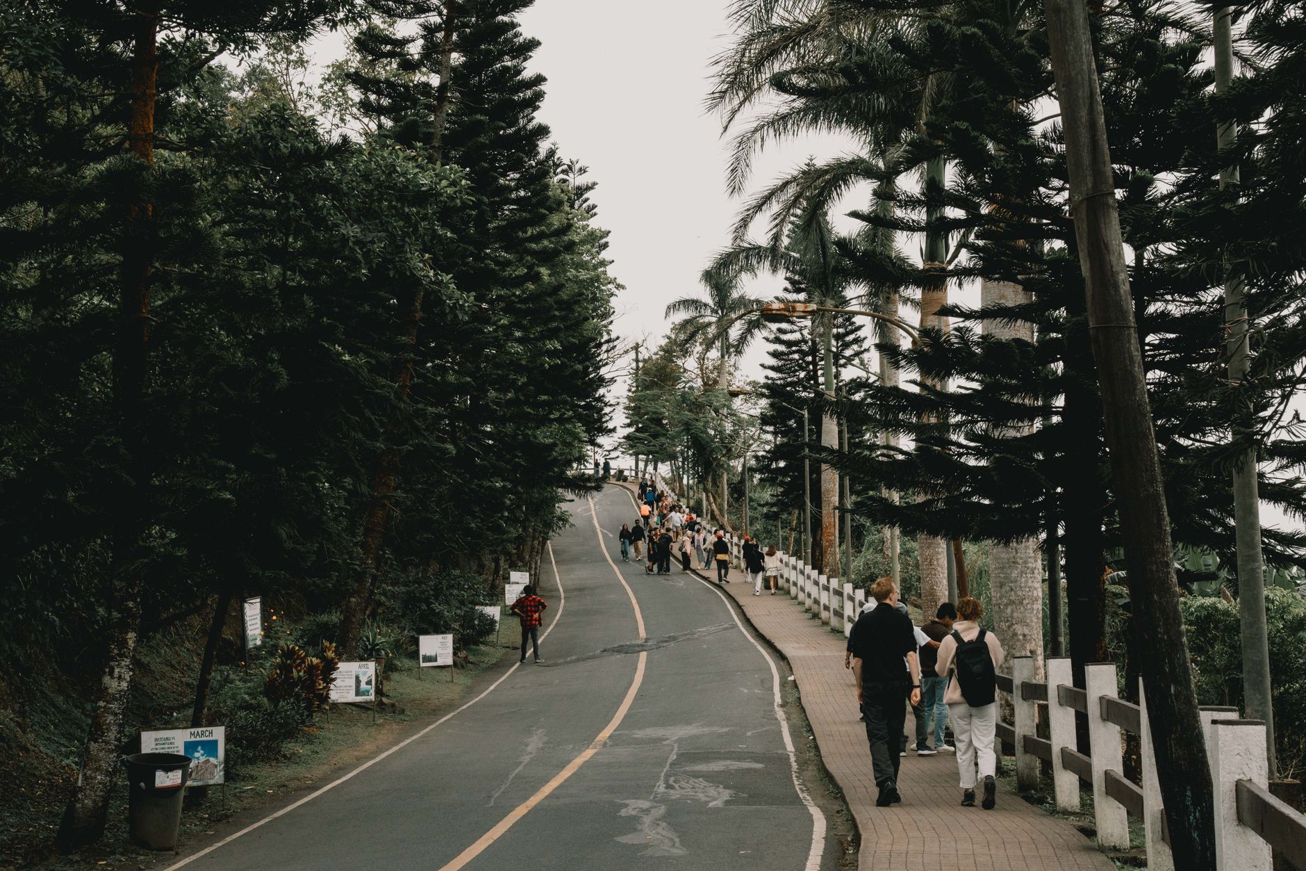
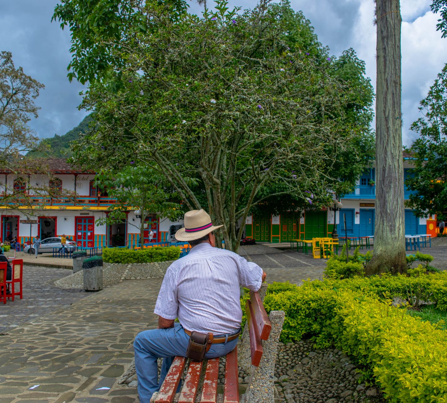
Boquete sits in a valley in the Chiriquí Highlands, about 1,200 metres above sea level, where the Caldera River runs through town and the silhouette of Volcán Barú — Panama's highest point at 3,475 metres — fills the skyline to the south. The air here is cooler than anywhere else in the country, and the cloud forest that clings to the upper slopes of the volcano is one of the few places in Central America where you can reliably look for a resplendent quetzal.
The town itself is small and walkable, with stucco buildings around a central plaza, coffee farms on the hillsides, and a library that opened in 2012 as the first lending library in all of Panama. It draws hikers, birdwatchers, and a sizable community of foreign retirees who arrived in numbers after the early 2000s, giving Boquete an unusual mix of highland Panamanian life and expatriate infrastructure.
💛 What travellers fall for
People who return tend to time it around the dry-season mornings, when the valley clears before noon and the light on the upper volcano is sharp enough to make the hike to the summit feel worth the $75–85 guide fee. The Sendero de los Quetzales is the walk they mention most — point-to-point, over the volcano toward Cerro Punta, best done with a car waiting on the far side.
How Boquete came to be
Long before the town existed, the Caldera region was home to pre-Columbian settlements — petroglyphs carved into the rocks there date the human presence somewhere between 600 BC and 300 AD. During Spanish colonization, the rugged highland terrain made this corner of Chiriquí an effective refuge for indigenous groups including the Ngöbe, and European settlement only began in earnest in the second half of the nineteenth century, when settlers from Bugaba, Gualaca, and David arrived alongside immigrants from Yugoslavia, France, Germany, and the United States, some of whom started the first coffee plantations.
The district was formally created by Law 20 on January 17, 1911, sanctioned by President Pablo Arosemena, with the official founding date recorded as April 11 of that year. A railway connecting Boquete to David and Puerto Armuelles began operating in 1916. The town's more recent transformation came in the early 2000s, when a residential development called Valle Escondido drew international attention and the expatriate population grew substantially.
Who and what shaped it
People who shaped it
Landmark buildings
Plan your visit
On the map
When to go
Boquete's highland elevation keeps temperatures mild year-round, typically between 13°C and 25°C, but the valley is known for frequent mist and afternoon rain — locals call it bajareque. The dry season, roughly December through April, brings clearer mornings and better visibility on the volcano.
Right now
Background & history adapted from Wikipedia (CC BY-SA) · specs from Wikidata (CC0) · weather from Open-Meteo · map data © OpenStreetMap contributors · photos from Wikimedia Commons / Unsplash with per-image credit. No third-party reviews or social posts reproduced.