
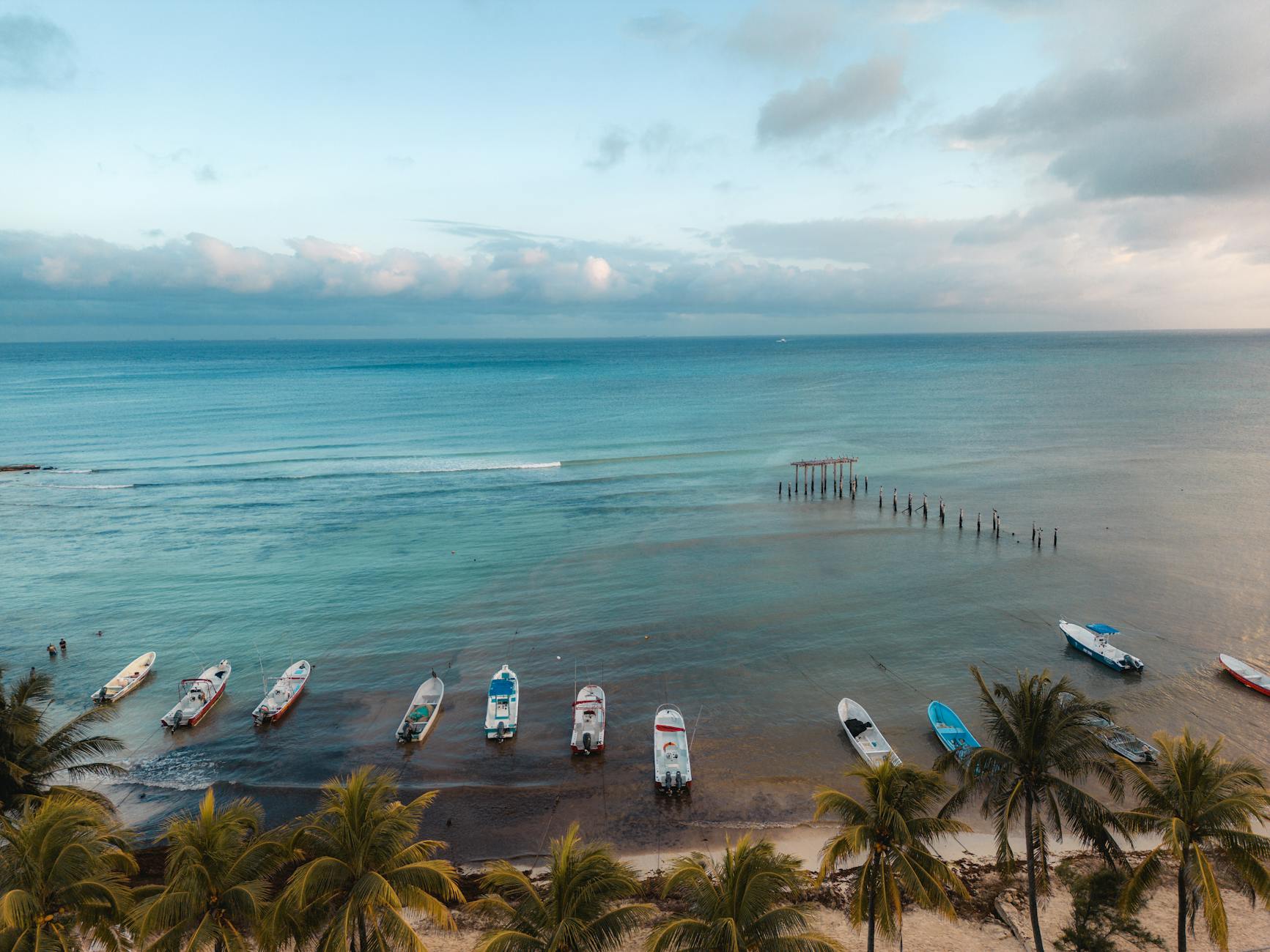




I visited today and I will NEVER EVER go back. The road to the beach is absolutely filthy — plastic, glass, and general trash everywhere. By the time you actually reach the beach, it’s incredibly overcrowded. If you have any walking difficulties or if you’re bringing older family members: don’t go. Trying to relax is almost impossible. Every few minutes someone comes up to sell you something — snacks, drinks, wristbands, magnets… it never stops. On top of that, the constant smell of gasoline from all the boats ruins any sense of peace. Even in the water you can’t relax; boats, jetskis, and banana boats keep cutting through the area, even crossing into the clearly marked swimming-only zones. You literally have to watch your back while swimming. Then comes the boat trip scam. They charge you 40.000 pesos to get on, and once you’re on board everyone talks Spanish and suddenly you have “two options”: Get dropped off for free at an island with dolphins (where you basically walk around and watch some kind of show). Pay another 40.000 pesos to get dropped off somewhere else with goggles. If you choose to stay on the boat, they take you to another island with a so-called “coral reef.” Except you have to pay again just to jump off the boat and swim. If you refuse, they get annoyed, mock you, and pressure you to pay the extra 40.000 pesos. And for what? A dead reef with no color and almost no marine life. Tourism has already destroyed it completely. This place could have been a beautiful, relaxing beach — but the way the locals run it has completely ruined the experience. It feels like everything is focused on squeezing as much money out of visitors as possible, with zero care for the environment or the people coming to enjoy it. Honestly, it can ruin your entire day. And just a heads-up: the bus ride from the city to the beach takes 1–2 hours and is extremely bumpy. I really hope future visitors read reviews like this before going. This place deserves better treatment, and tourists deserve a far better experience. And I really hope it'll clean up soon there to be able to enjoy it.
Barú
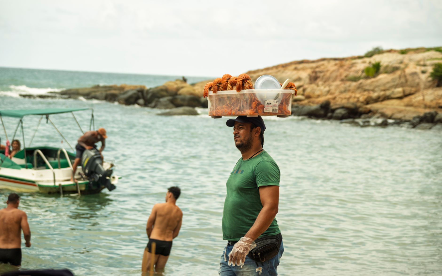
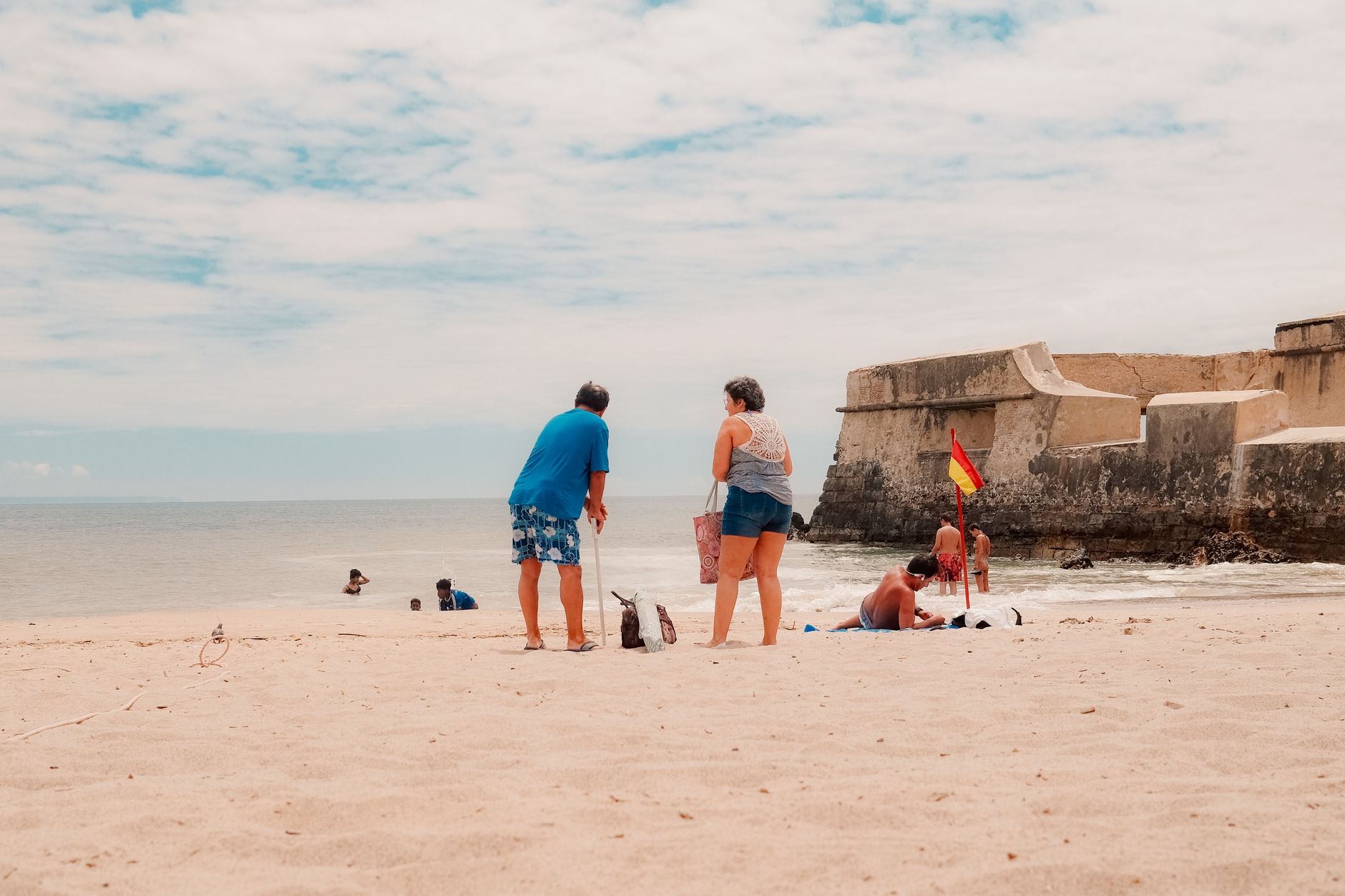
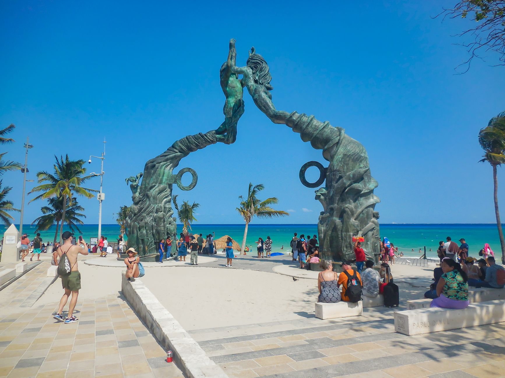
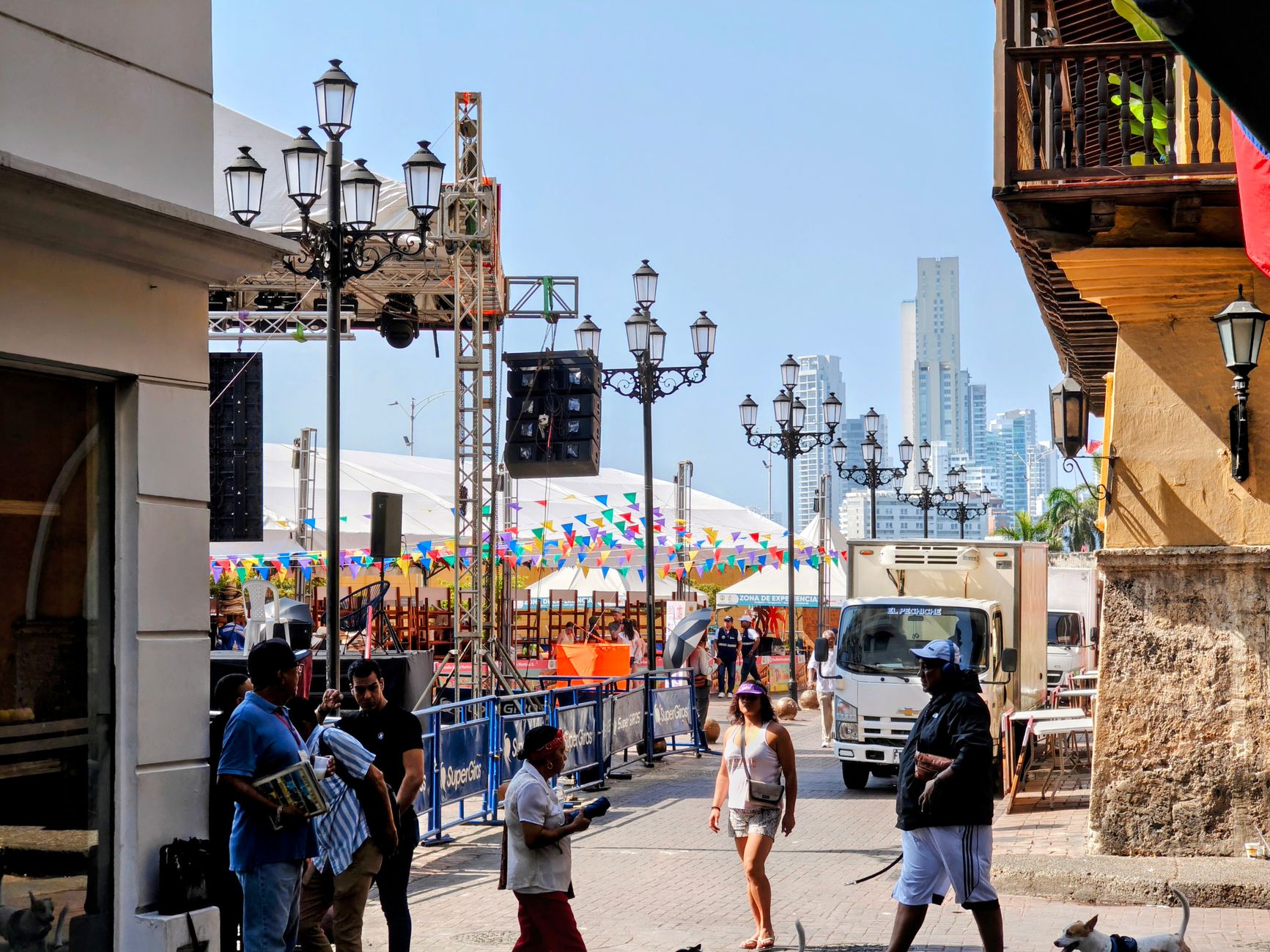
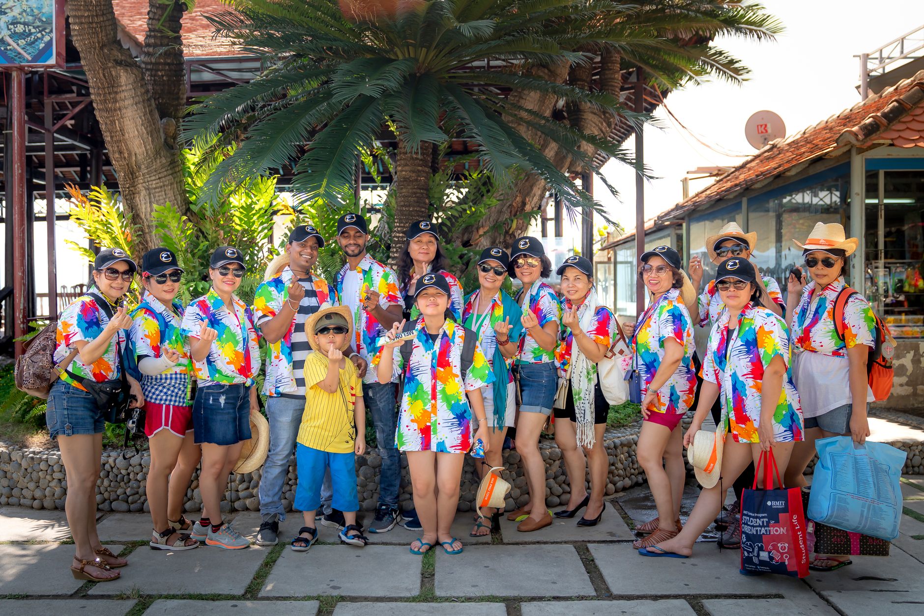
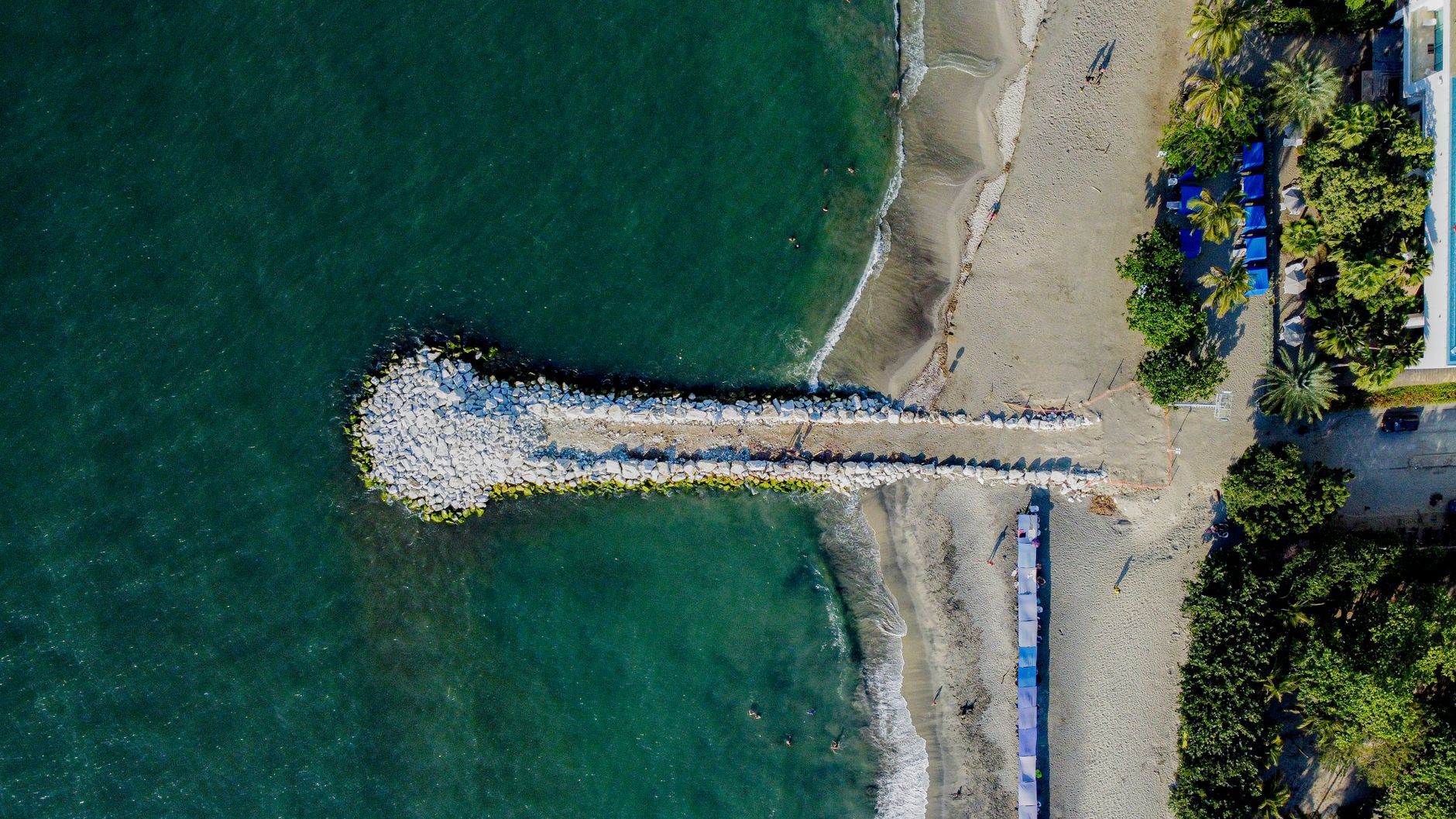
The Spanish cut a canal here in the late sixteenth century to link Cartagena's bay to the Magdalena River, and in doing so accidentally made an island. That act of colonial engineering is why you're now crossing water to reach Barú — a narrow strip of land, rarely more than a kilometre wide and about twenty-five kilometres long, where the sand runs white and faintly pink and the water is clear enough to read the seabed through it.
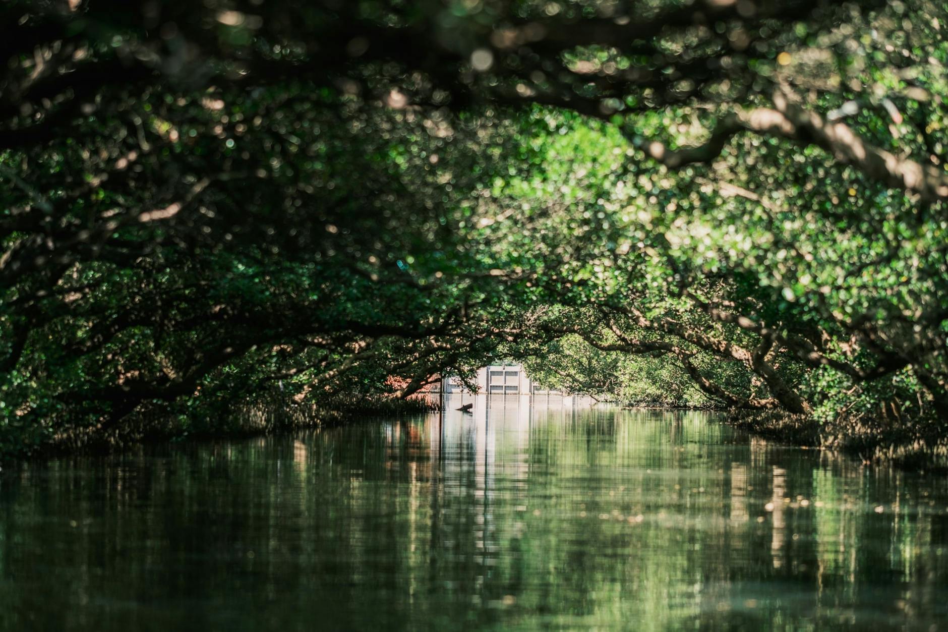
Three small towns — Araca, Santa Ana, and Barú itself — account for most of the island's population. The rest is beach, mangrove channel, and the kind of quiet that a place earns by being slightly inconvenient to reach.
💛 What travellers fall for
People who come back tend to do two things differently: they stay the night so they can catch the bioluminescent plankton on an evening outing, and they head to Cholón early — before the reggaeton boats arrive in force — to claim a spot in the shallows while the water is still glassy.
Experiences you don't want to miss
Deals in Barú
Book directly at the providerHow Barú came to be
The canal the Spanish dug in the late 1500s to connect Cartagena's bay to the Magdalena River did more than improve trade logistics — it severed Barú from the mainland entirely, turning a peninsula into an island. During the colonial period the island sat at the margins: a few fishing communities, some limestone kilns, and a trade in contraband that moved beyond the reach of Spanish authority.
The town of Barú itself was a palenque — a settlement of escaped enslaved people from Cartagena. In 1708, a naval engagement known as Wager's Action took place off the island's shores, resulting in the sinking of the treasure galleon San José, which still rests on the seabed nearby. A bridge connecting the island to the mainland opened in 2014, ending centuries of enforced isolation.
Who and what shaped it
Landmark buildings
See Barú in motion
Plan your visit
On the map
When to go
The dry season runs December through April — February is the driest month and the most reliably comfortable for beach days. From May to November expect rain, with October the wettest month by a considerable margin. Sea temperatures stay warm year-round, between 27 °C in March and 29 °C in July.
Right now
What travellers say about Barú
I had bought a package last year on get your guide to visit 4 islands. Baru was one of my favourite. The water was warm and the sand was soft. It was beautiful. Our meal was included in our package as well.
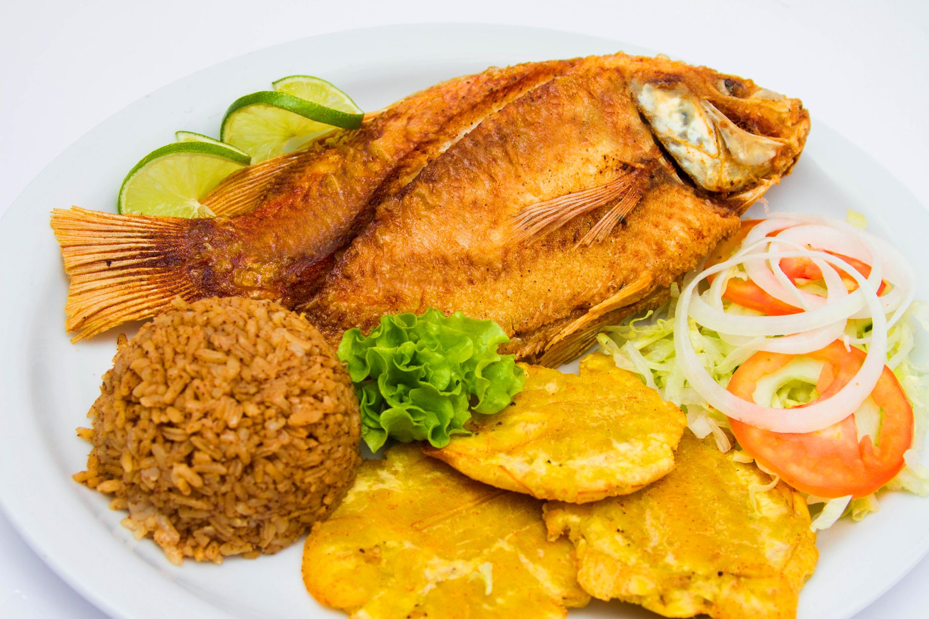
Beautiful colour of the sea, but horrible experience. It’s a shame. The beach is very small, only bed/chairs all way long, vendors/scammers everywhere and they will follow you with insistence even when you say several times no. They try to overcharge you at any time (cheapest fish on the menu 75000). They say you don’t pay for the bed if you consume. When the bill arrived of course they put the price of the bed + food/drinks + tips. You need to be firm and stand by what was agreed (I was with 2 native Spanish-Latin speakers, so no language misunderstanding). With my friends we stayed 3h and it felt exhausting. It was very crowded too. Also there is bad/almost no internet so to go back to Cartagena it’s also a struggle if you didn’t go on a prepaid tour, to find a car/bus.
Isla Barú is a bit of a "choose your own adventure" situation. If you just do a day trip to Playa Blanca, prepare for a sensory overload. It is undeniably gorgeous, but it’s loud. You’ll be offered a coco loco or a massage every five minutes, and the jet skis are buzzing constantly. It’s got this hectic, sweaty, vibrant energy that’s uniquely Colombian, but it can be exhausting if you’re expecting a quiet zen retreat. But here’s the secret: You have to stay after the clock strikes 4:00 PM. When the last tourist boats chug back to Cartagena, the island finally exhales. The sunset turns the sky into a bruised purple and orange, the vendors pack up, and suddenly you’re sitting in the sand with just a cold Aguila beer and the sound of the Caribbean. That’s the version of Barú people fall in love with. Taking a boat is the "classic" way, but you can actually grab a taxi or bus over the bridge from Cartagena now. It’s usually cheaper and saves you from a bumpy boat ride. Mosquitoes: are tiny ninjas. Bring the strongest repellent you can find, especially for dusk. Don't count on card machines working in the heat. Bring more pesos than you think you’ll need. It’s not a sterile, perfect resort island; it’s a living, breathing place with a lot of character (and a little bit of grit). If you go in with an open mind and stay for the quiet hours, it’s magic.
If you can, hire one of the private boat & captains based in the old town port and spend a day out at beautiful Baru. There are livelier spots and super peaceful spots but either way, the sand is soft and the water is warm.
Background & history adapted from Wikipedia (CC BY-SA) · specs from Wikidata (CC0) · weather from Open-Meteo · map data © OpenStreetMap contributors · photos from Wikimedia Commons / Unsplash with per-image credit. No third-party reviews or social posts reproduced.