
Bab Mellah Gate
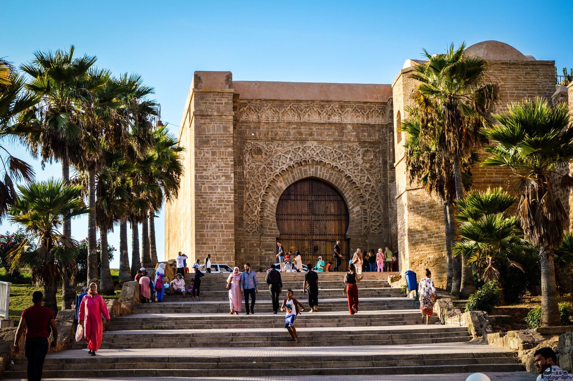
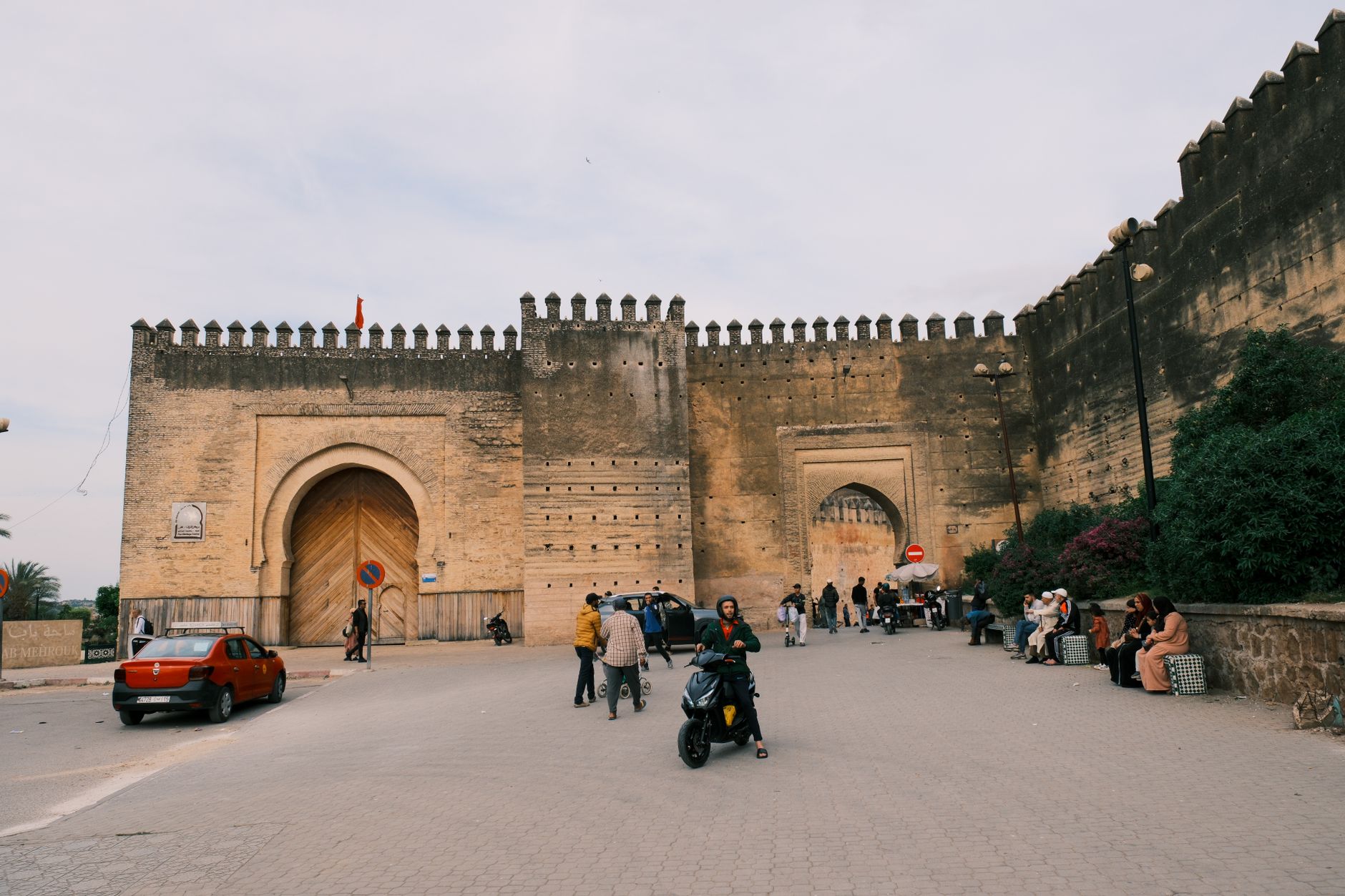
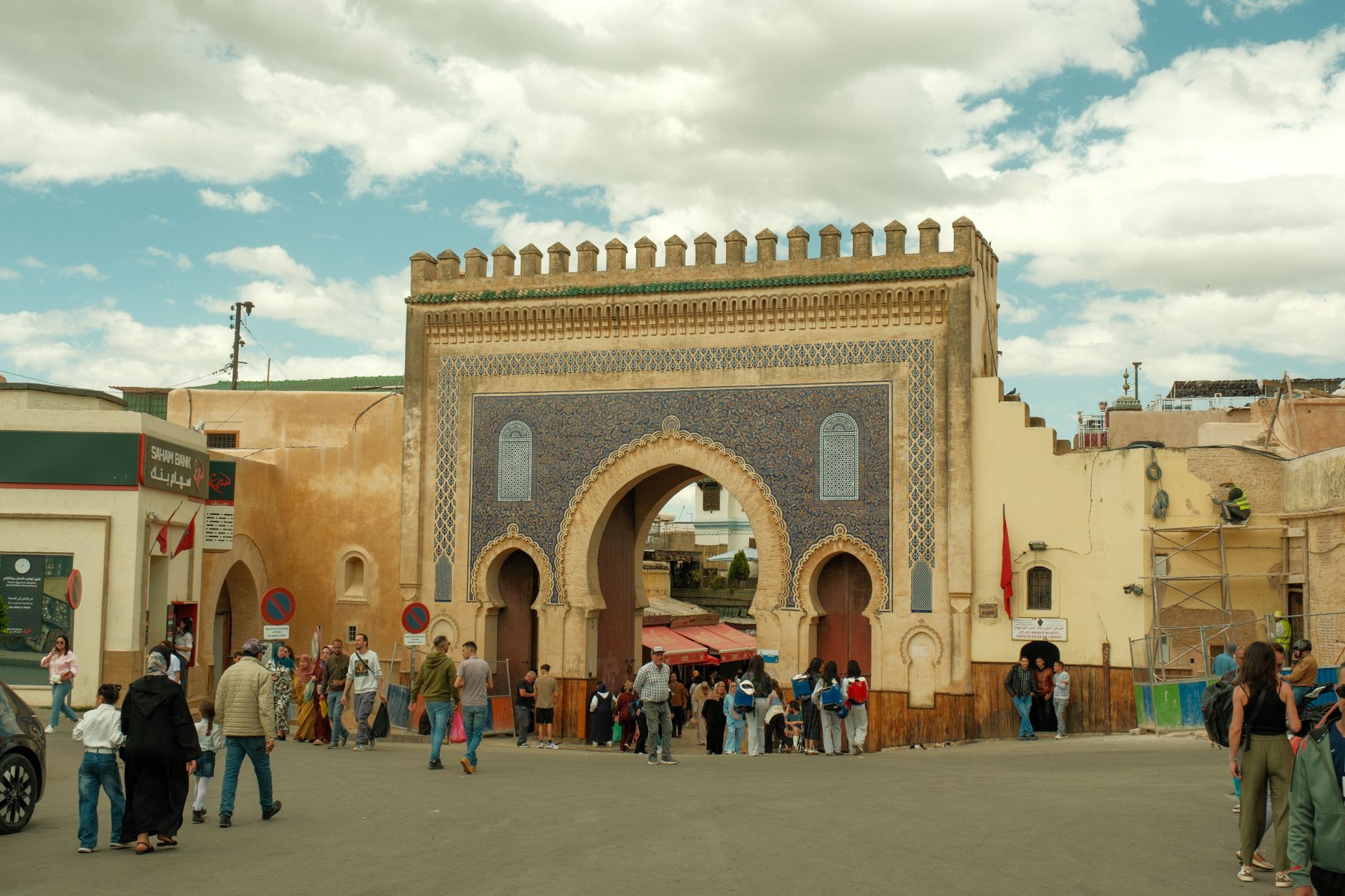
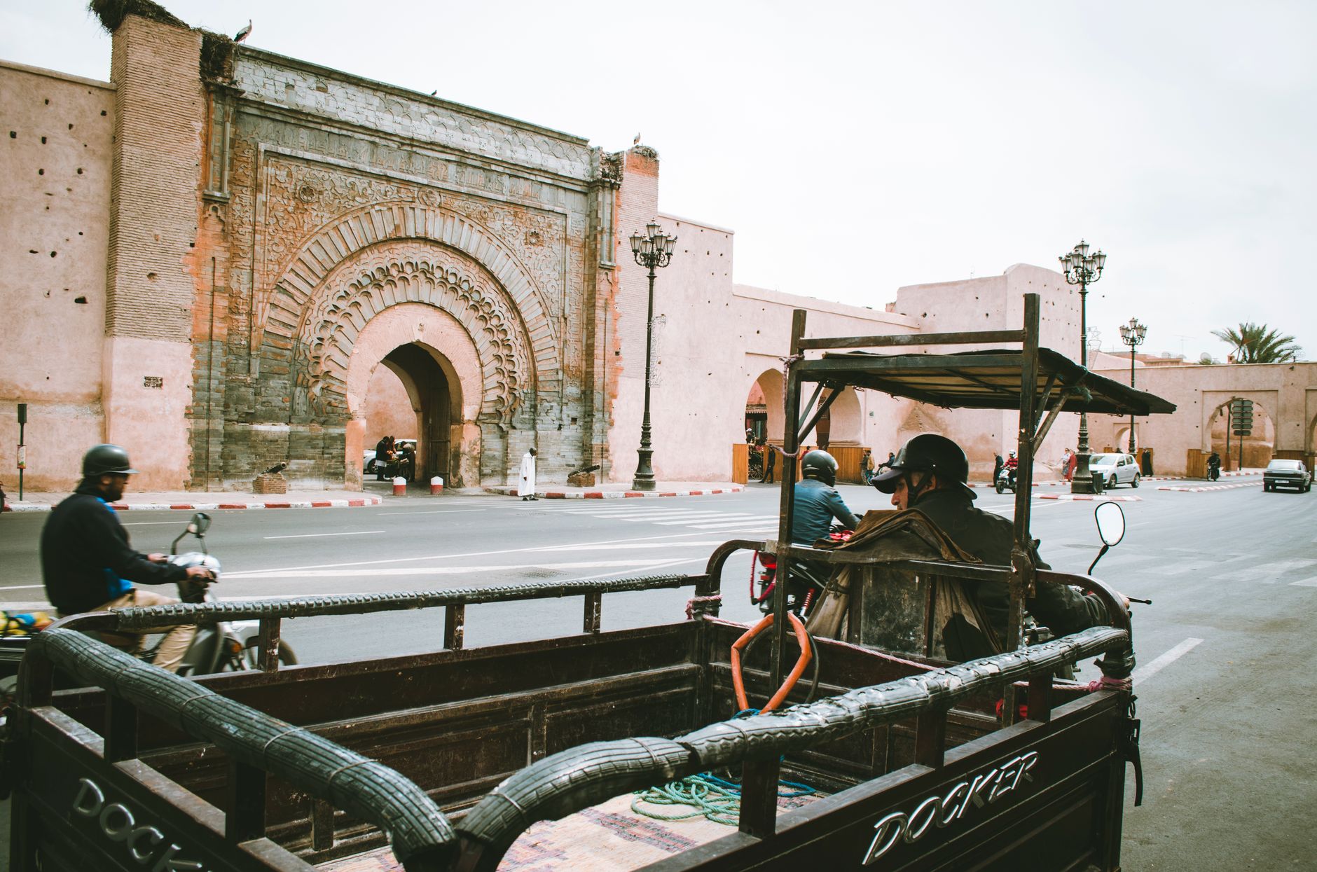
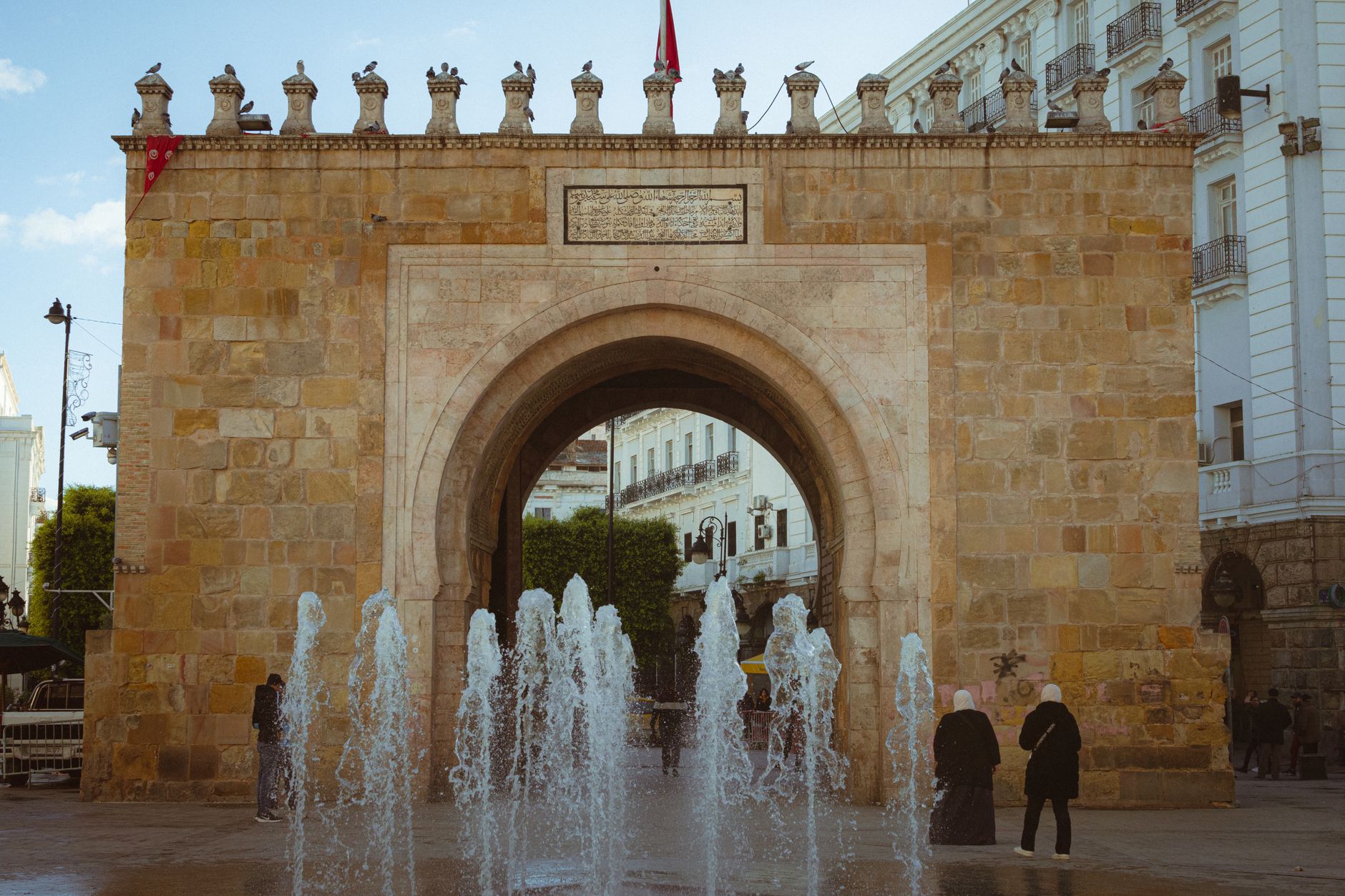
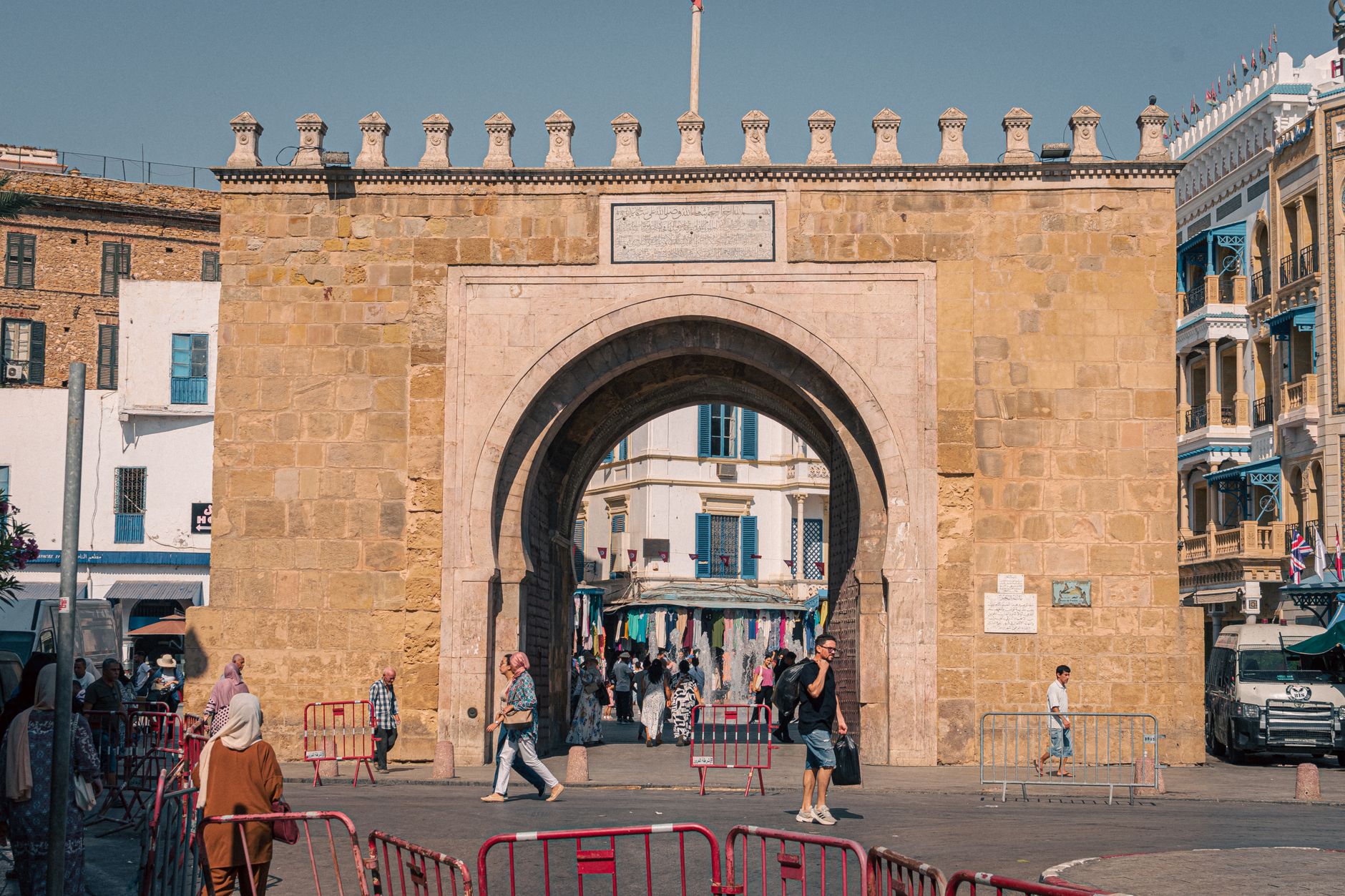
The gate into the Mellah is less a dramatic threshold than a shift in register — the alleys narrow, the buildings climb higher, and Hebrew script appears on street signs alongside Arabic. This is where Marrakech's Jewish community was relocated by Saadian decree in 1558, and the quarter still carries that compressed, vertical logic: unable to spread outward, residents built upward, so the upper floors of houses lean close above you, cutting the sky into strips.
Place des Ferblantiers marks the entry point, a square where metalworkers still hammer in open workshops. From here the Mellah fans out into fabric lanes, a jewelry souk with a late-afternoon auction, and alleys that eventually open onto the largest Jewish cemetery in Morocco.
💛 What travellers fall for
People who come back tend to time their arrival for around 16:00 — the jewelry souk on Rue des Ferblantiers holds a small auction at 16:30 that draws locals rather than tourists. The Hebrew street plates, including the one on Talmud Thora street marking the way to Slat Al Azama, are easy to walk past and worth stopping for.
How Bab Mellah Gate came to be
In 1558, Sultan Moulay Abdallah al-Ghalib of the Saadian dynasty ordered Marrakech's Jewish population moved to a walled district directly beside his Kasbah — making this the second oldest mellah in Morocco. The placement was strategic: proximity to the palace meant proximity to royal protection, and through the 16th and 17th centuries the quarter became one of the city's main commercial engines, its gates locked at night.
The neighborhood was officially renamed Hay Salam roughly two decades ago, then reverted to El Mellah in 2017. A restoration program launched in 2014 has been working through its oldest structures. Fewer than ten Jewish residents remain in the original quarter today, though the architecture, the cemetery, and the synagogues hold the record of who built this place.
Who and what shaped it
People who shaped it
Landmark buildings
See Bab Mellah Gate in motion
Plan your visit
On the map
When to go
Right now
Background & history adapted from Wikipedia (CC BY-SA) · specs from Wikidata (CC0) · weather from Open-Meteo · map data © OpenStreetMap contributors · photos from Wikimedia Commons / Unsplash with per-image credit. No third-party reviews or social posts reproduced.