
Avenue Hassan II
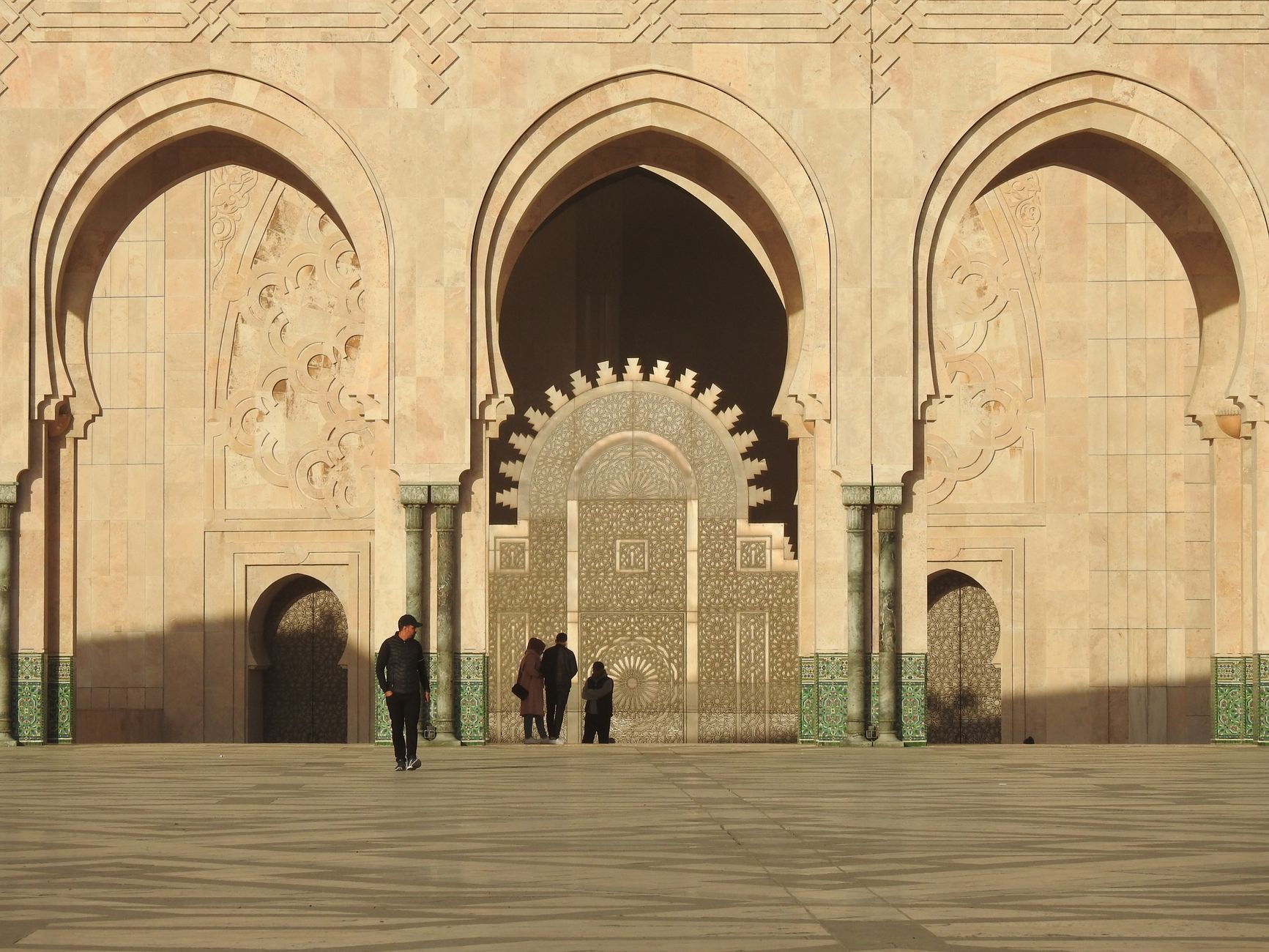
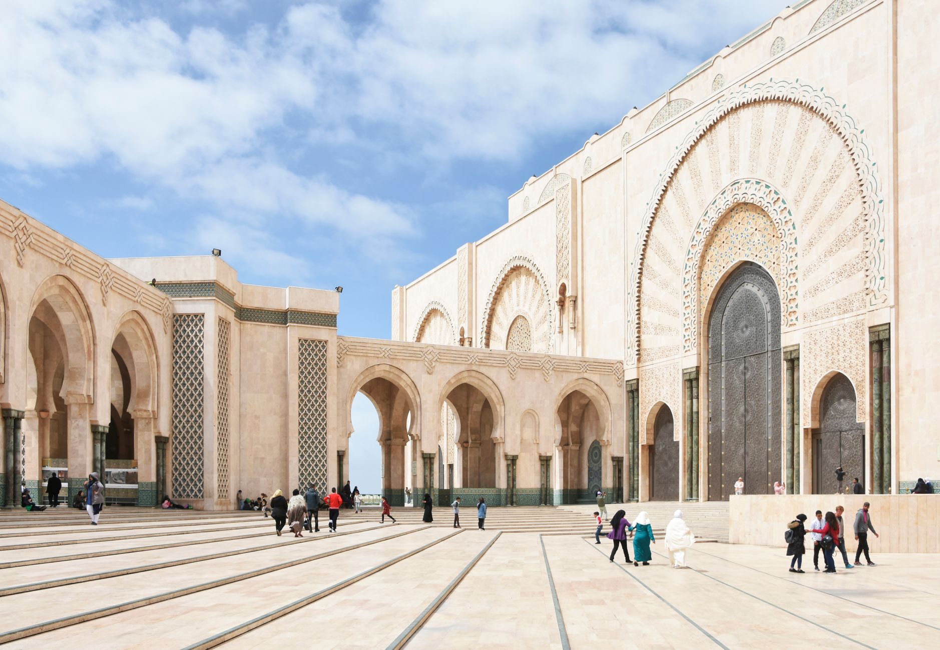
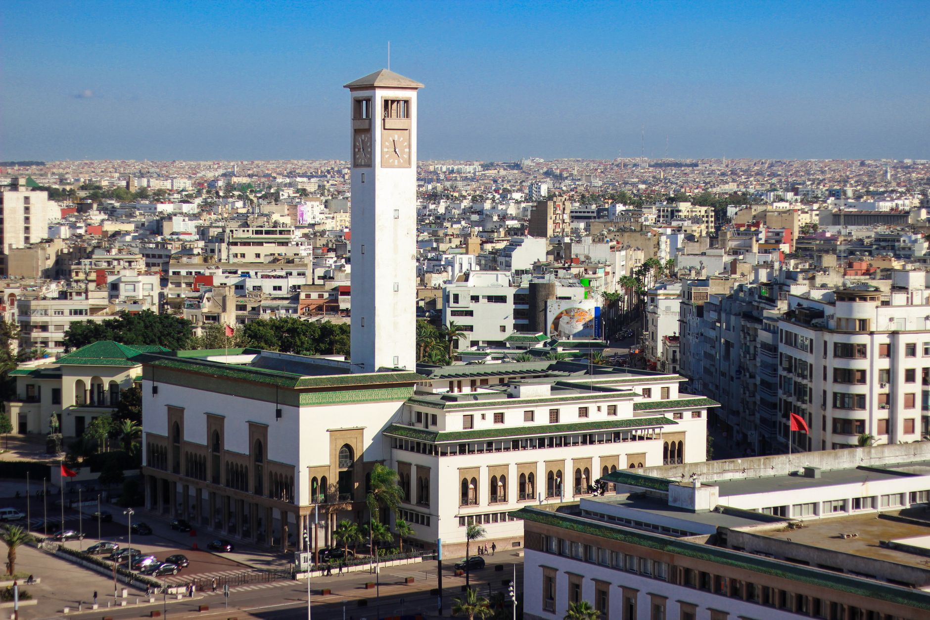
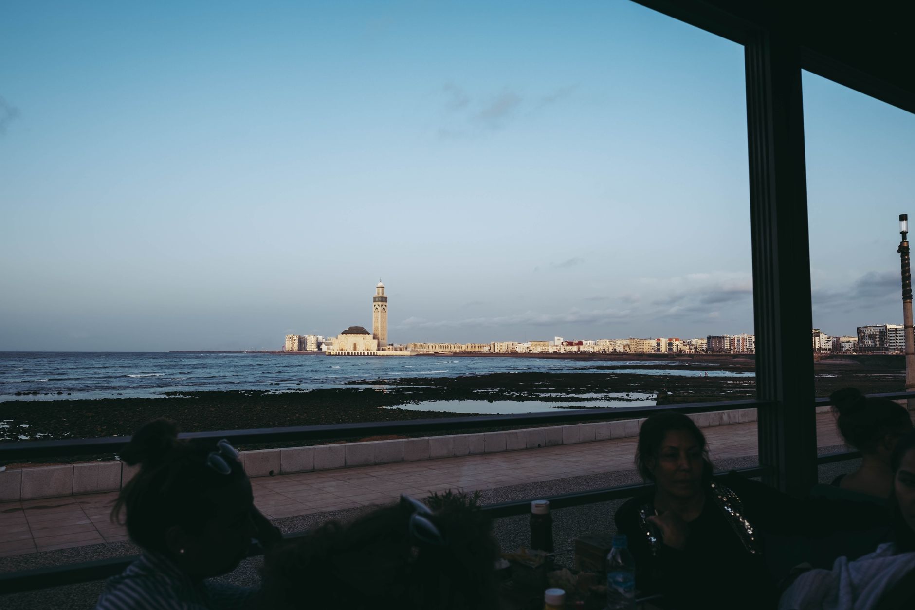
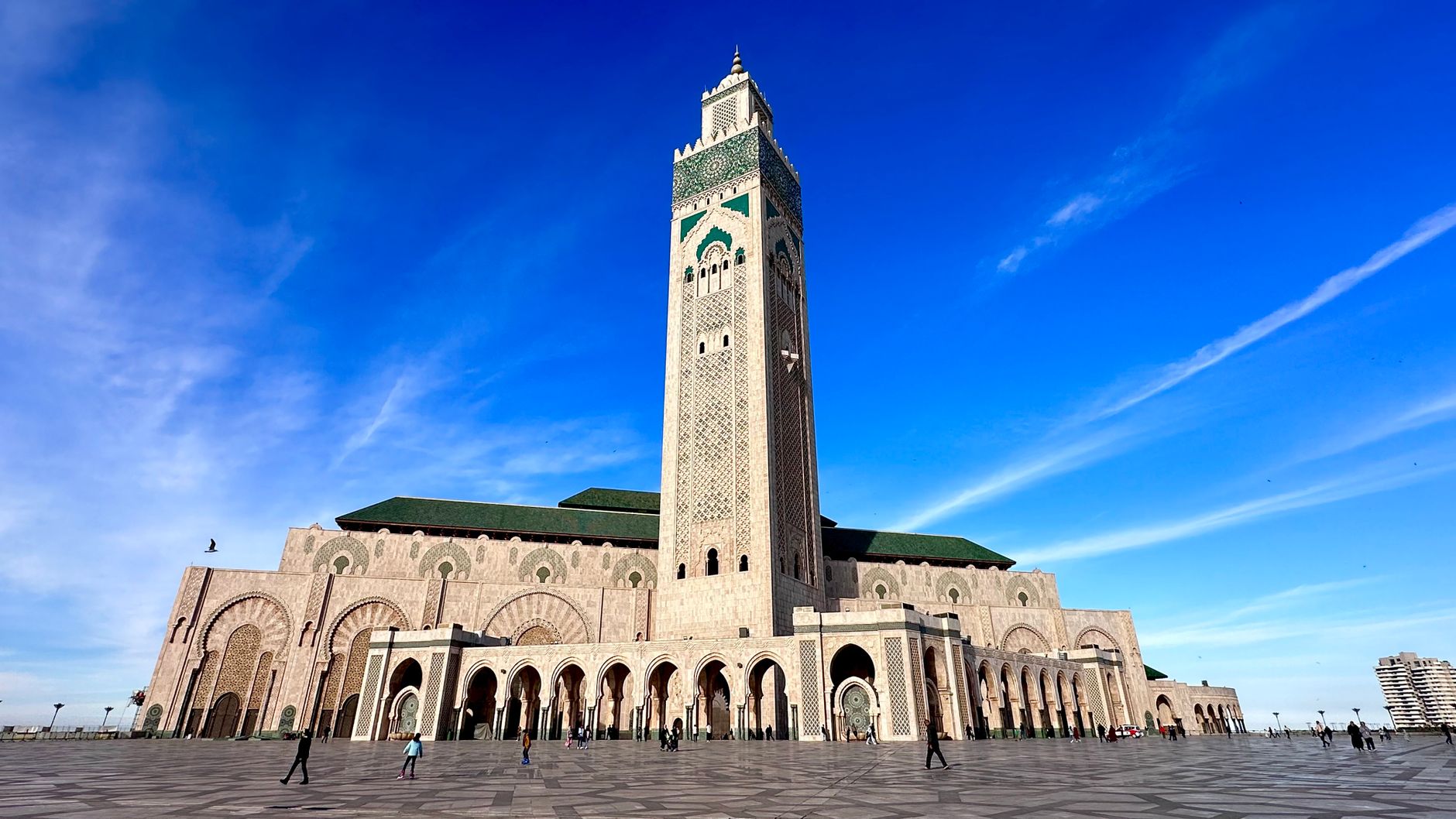
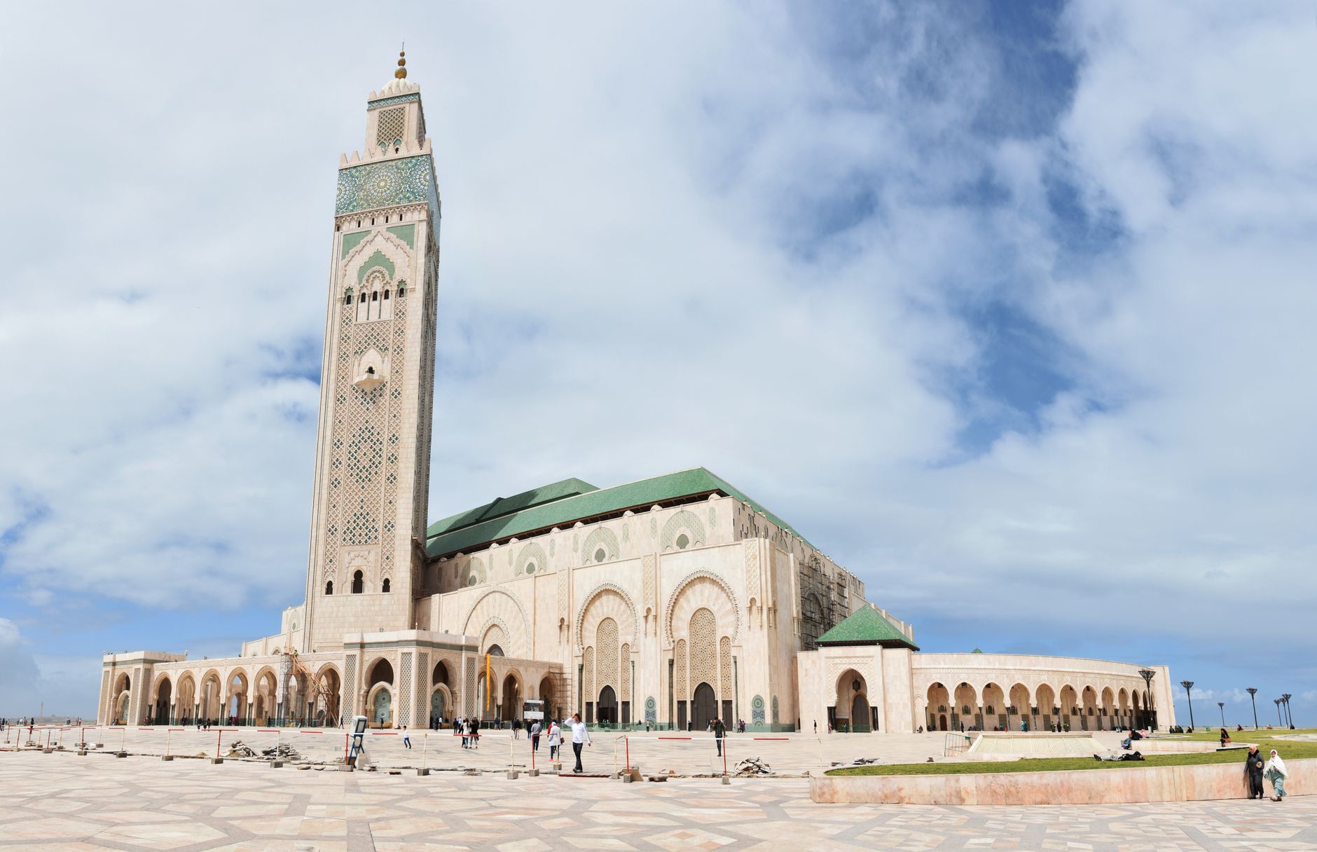
Avenue Hassan II runs straight from Bab Doukkala to the railway station, and along the way it does something quietly useful: it holds the line between the medina's ochre walls and the gridded French streets of Gueliz. The Andalusian wall — mur des Andalous — follows one side of it for around 1,400 metres, close enough to touch if you reach out from a café terrace.
This is where Marrakech shops on a Tuesday. Prices are marked, alcohol is legal, and the rhythm is less theatrical than the souks. Two colonial-era cafés anchor the corner with Boulevard Zertouni — les Négociants and la Renaissance — and from there the avenue opens into a city that feels genuinely lived-in rather than staged.
💛 What travellers fall for
People who come back to Gueliz tend to treat the junction of Hassan II and Mohammed V as a compass point. The Grand Café de la Poste at Place du 16 Novembre is the standard meeting spot — colonial-era ironwork, a long bar, and a terrace that faces the street without performing at it. Walk south toward the station and Villa Bel-Air appears, one of the few original villas still standing.
How Avenue Hassan II came to be
Gueliz was drawn up in 1912, the year France formalised its protectorate over Morocco. General Louis Hubert Gonzalve Lyautey oversaw the new city's creation, and the overall layout was the work of architect Henri Prost, who also designed the Church of Saints-Martyrs nearby, completed in 1928. The avenue itself was known successively as rue du Haouz and rue Raymond Poincaré before taking its current name.
The district's commercial character was set early: the Grand Café de la Poste on Place du 16 Novembre dates to the 1920s, when it served as both café and postal point. The Ciné-Theater Palace, built in 1926 as an exact replica of the Eden Cinema in La Ciotat, France, opened on the same block of years before closing in 1984. Marrakech Plaza, the avenue's most recent landmark, arrived at the corner of Hassan II and Mohammed V in 2007.
Who and what shaped it
People who shaped it
Landmark buildings
See Avenue Hassan II in motion
Plan your visit
On the map
When to go
March and April, and again late September through mid-November, give you warm days without the punishing heat of summer, when July afternoons regularly reach 36°C. Winter mornings can be sharp — below 5°C at night — though the midday light on the Andalusian wall makes up for it.
Right now
Background & history adapted from Wikipedia (CC BY-SA) · specs from Wikidata (CC0) · weather from Open-Meteo · map data © OpenStreetMap contributors · photos from Wikimedia Commons / Unsplash with per-image credit. No third-party reviews or social posts reproduced.