
Avenue de France
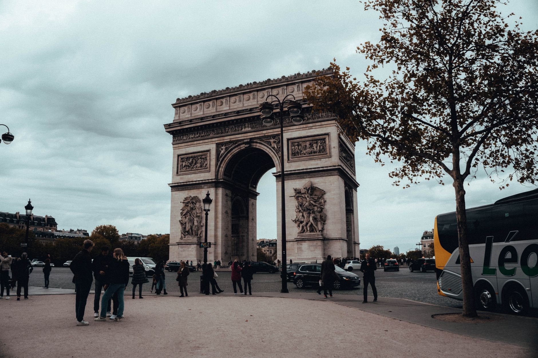

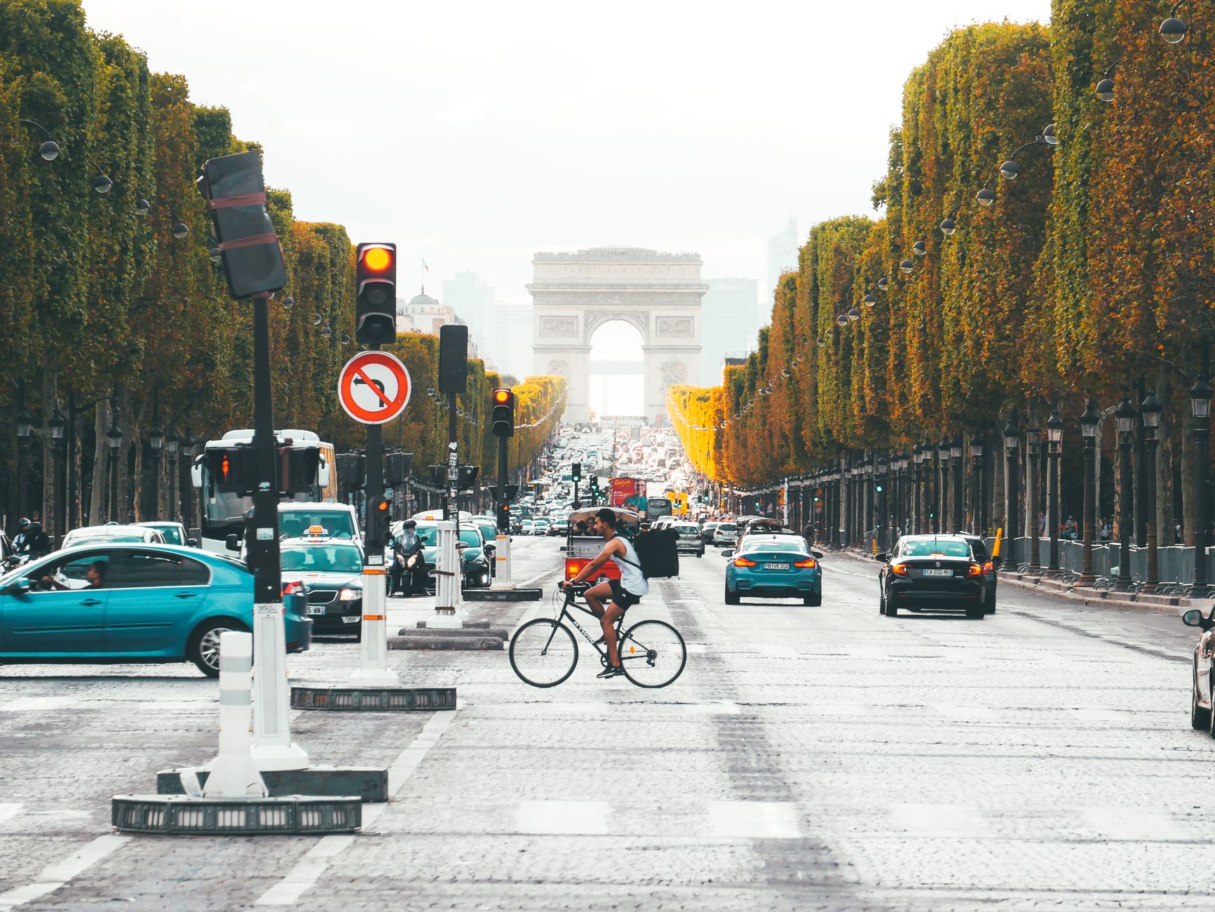
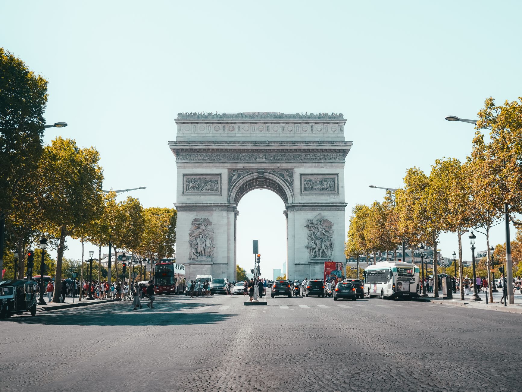
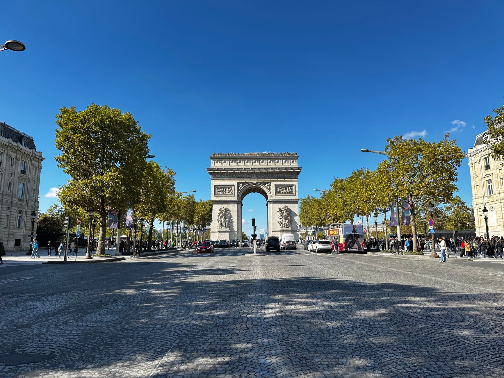
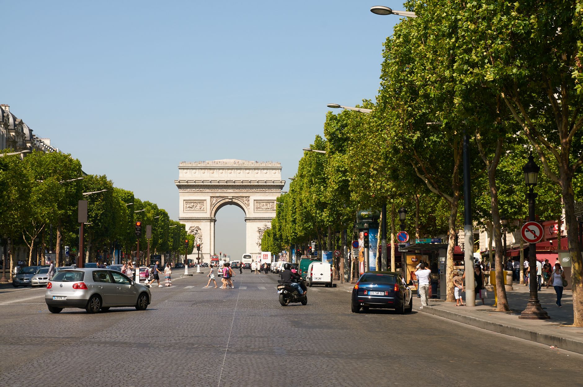
Avenue de France — now officially Avenue Mohammed VI — runs wide and floodlit through Hivernage, its central median planted with palms and flowering hedges that soften the scale of a road that was always meant to impress. The Champs-Élysées comparison gets made often, and while it flatters, it isn't entirely wrong: this is an avenue designed for arrival, for the slow cruise past lit hotel entrances and doormen who've seen everything.
The action here happens behind facades. Valets take the cars, taxis idle at kerbs, and the pavement itself stays unhurried — which is either its appeal or its limitation, depending on what you came to Marrakech for.
💛 What travellers fall for
People who end up here more than once tend to treat the avenue as a connector rather than a destination: park near the Mégarama, walk the median at dusk when the Atlas is faintly visible at the end of the boulevard, then let the evening pull you toward whichever lit entrance looks right. The railway station anchor at one end gives the whole strip a useful logic.
How Avenue de France came to be
Hivernage takes its name from the French word for wintering, and the etymology explains the quarter's entire original logic. During the Protectorate era (1912–1956), European visitors — colonial officials, wealthy seasonal migrants — came to Marrakech for its mild winters, and Hivernage was built to receive them south of Guéliz, with grand hotels, shaded villas and a street plan shaped by Henri Prost's garden-city principles around 1920.
The Casino, inaugurated in the 1950s, pulled the district's nighttime gravity toward the avenue. The road itself was renamed Avenue Mohammed VI and formally inaugurated in 2004, by which point the Théâtre Royal, the Palais des Congrès and the Mégarama multiplex had established it as the city's civic and entertainment spine rather than simply a hotel corridor.
Who and what shaped it
People who shaped it
Landmark buildings
See Avenue de France in motion
Plan your visit
On the map
When to go
Hivernage was built for winter visitors, and its mild, dry winters — warm afternoons, genuinely cool nights — remain its best season. Summer evenings are hot enough that the avenue's outdoor terraces empty early, but the nightlife venues, being largely indoors, run year-round regardless.
Right now
Background & history adapted from Wikipedia (CC BY-SA) · specs from Wikidata (CC0) · weather from Open-Meteo · map data © OpenStreetMap contributors · photos from Wikimedia Commons / Unsplash with per-image credit. No third-party reviews or social posts reproduced.