
Arenal Volcano National Park
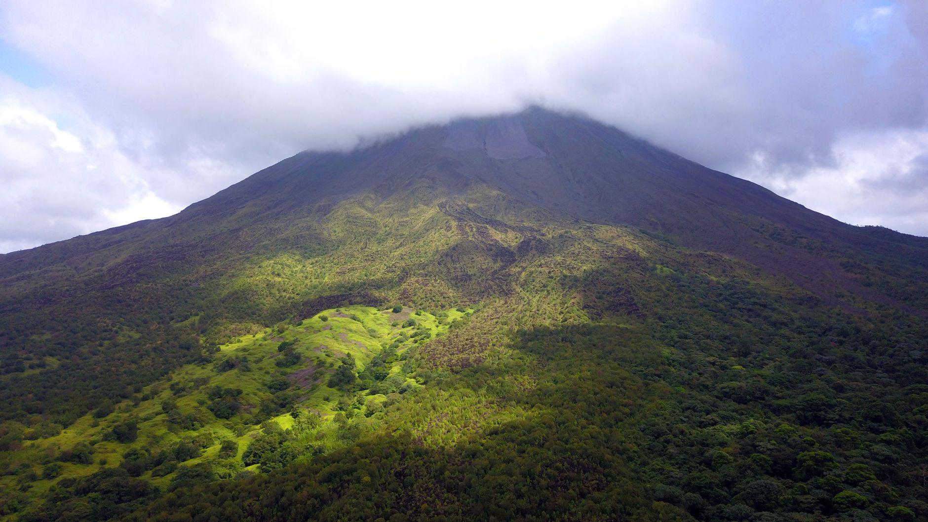

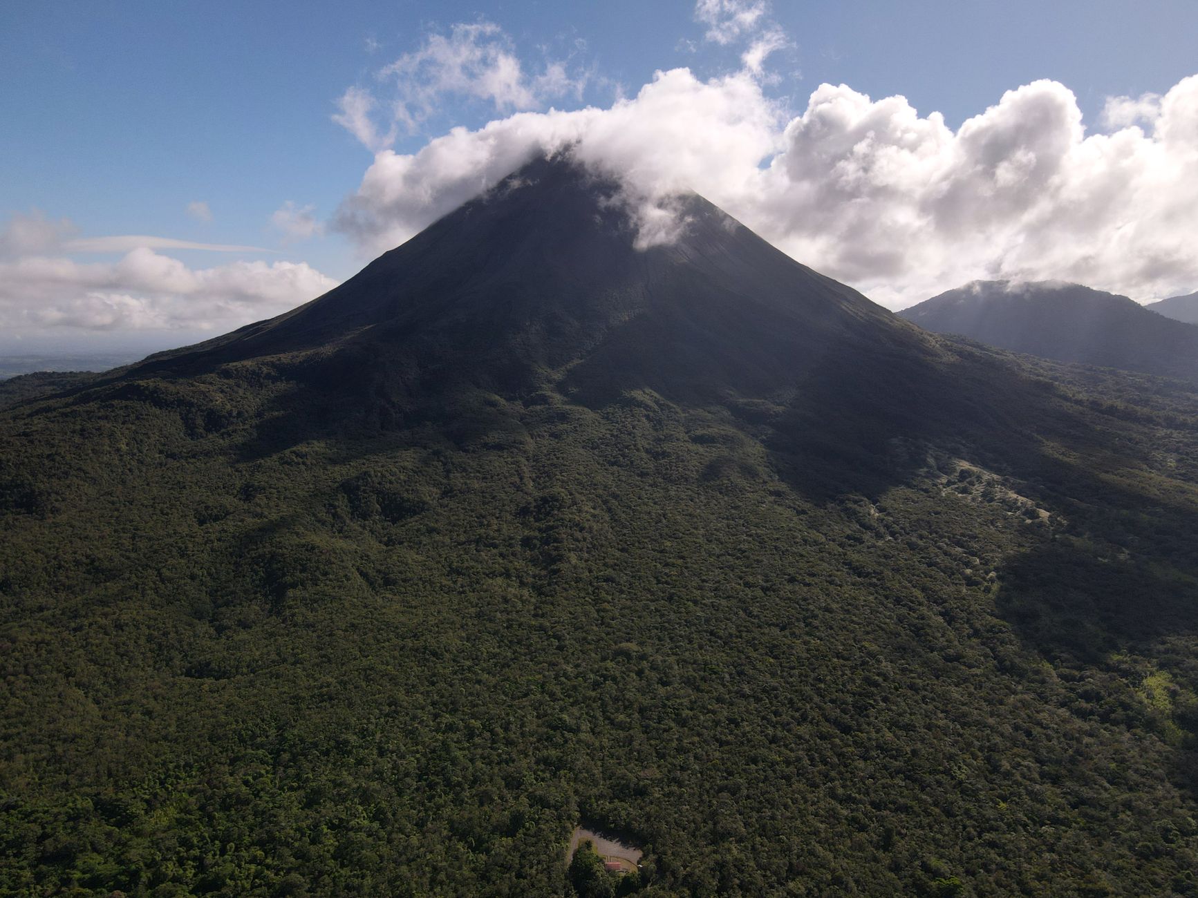


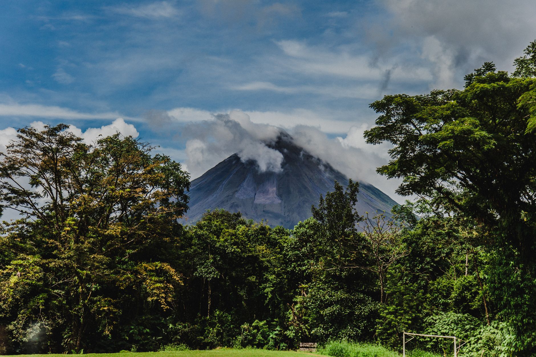
The cone rises clean above the canopy on clear mornings — a near-perfect stratovolcano at 1,633 metres, the kind of shape children draw when they imagine a volcano. Arenal spent decades pretending to be dormant, then erupted without warning in 1968, and kept going for forty-two years before going quiet again in 2010. That long eruptive chapter is what built the park's reputation, and the landscape it left behind — hardened lava fields, secondary forest reclaiming the western flank, the wide blue expanse of Lake Arenal to the south — still carries the weight of it.
The national park itself is compact and walkable, with a handful of flat to gently rolling trails in the main Volcano Sector. None of them take you to the summit — upper slopes remain off-limits — but the Coladas Trail threads through old lava flows with clear sightlines to the cone and the Tilarán range beyond. The park is best understood as an anchor for a longer stay: the trails are done by midday, and the afternoon opens up for the hot springs that ring La Fortuna.
How Arenal Volcano National Park came to be
Arenal's modern story begins on July 29, 1968, when the volcano ended roughly 400 years of dormancy with a violent eruption. The blast and subsequent pyroclastic flows devastated villages on the western flank and killed 78 people. What followed was four decades of near-continuous activity — lava flows, ash columns, periodic explosions — that made Arenal one of the most closely watched volcanoes in the Western Hemisphere. Scientists from the Smithsonian Institution were among those monitoring seismic activity from the early 1970s onward.
The national park was formally established on September 30, 1991, by Executive Decree, and its boundaries were extended twice in the years that followed, in 1992 and 1994. The volcano returned to dormancy in December 2010 — quietly, without announcement — and has remained so since.
Who and what shaped it
People who shaped it
Landmark buildings
See Arenal Volcano National Park in motion
Plan your visit
On the map
When to go
January through March offers the driest, clearest conditions, with mornings sharp enough to see the full cone before clouds build — and they will build, usually before noon, regardless of season. The wet season runs May through November, bringing heavy afternoon downpours and noticeably lusher vegetation; October is the wettest month by a wide margin.
Right now
Background & history adapted from Wikipedia (CC BY-SA) · specs from Wikidata (CC0) · weather from Open-Meteo · map data © OpenStreetMap contributors · photos from Wikimedia Commons / Unsplash with per-image credit. No third-party reviews or social posts reproduced.