
Acatenango Volcano
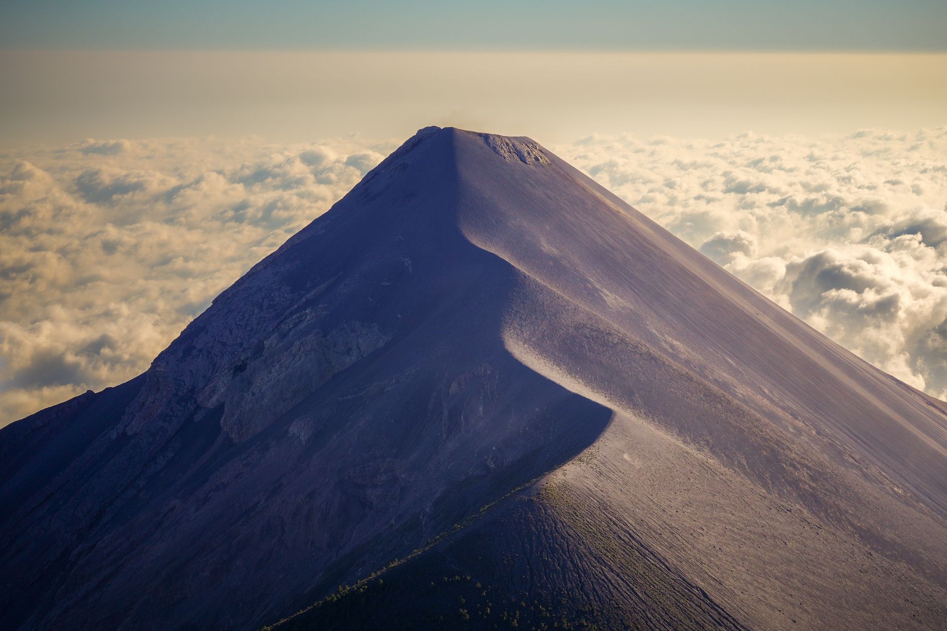
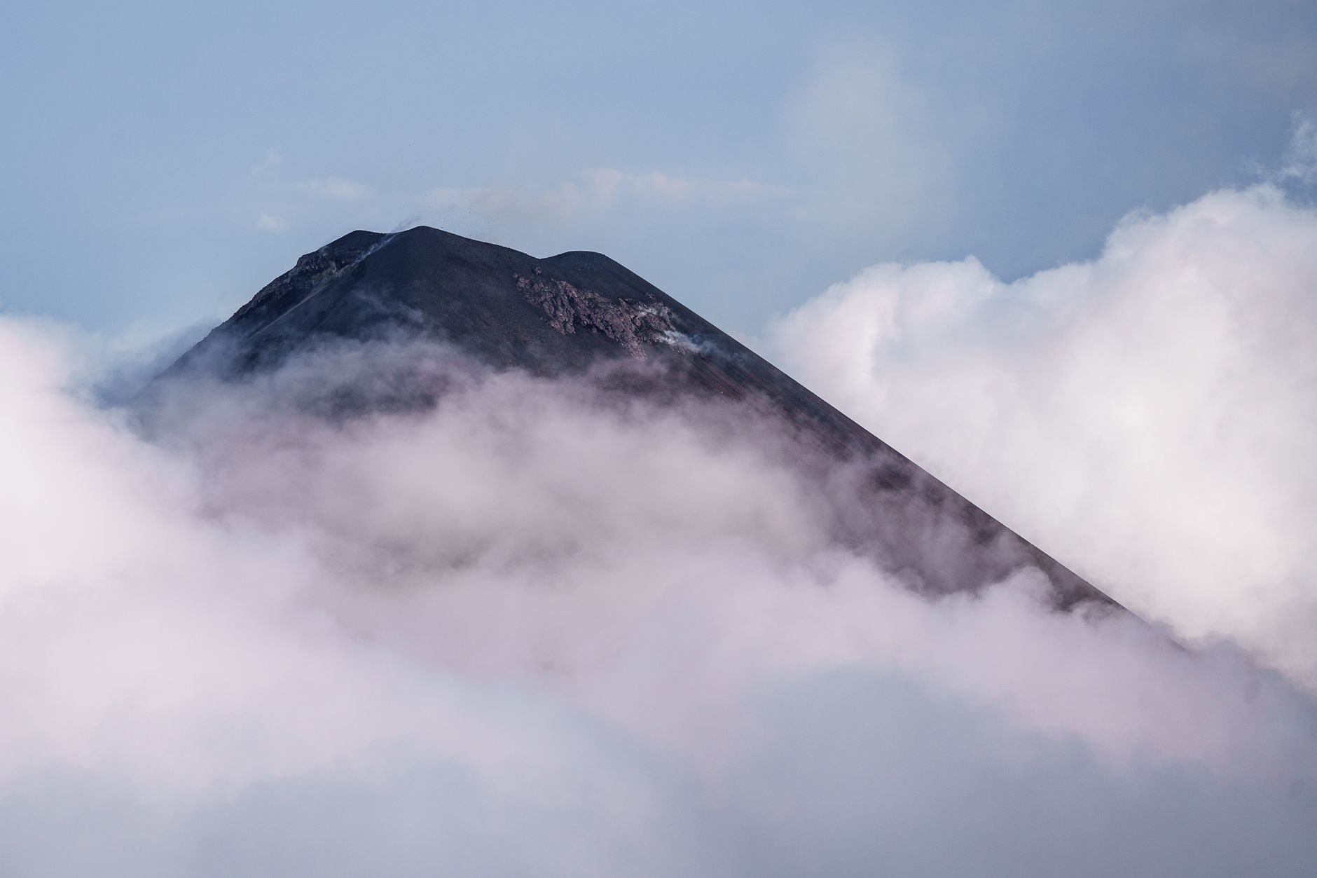

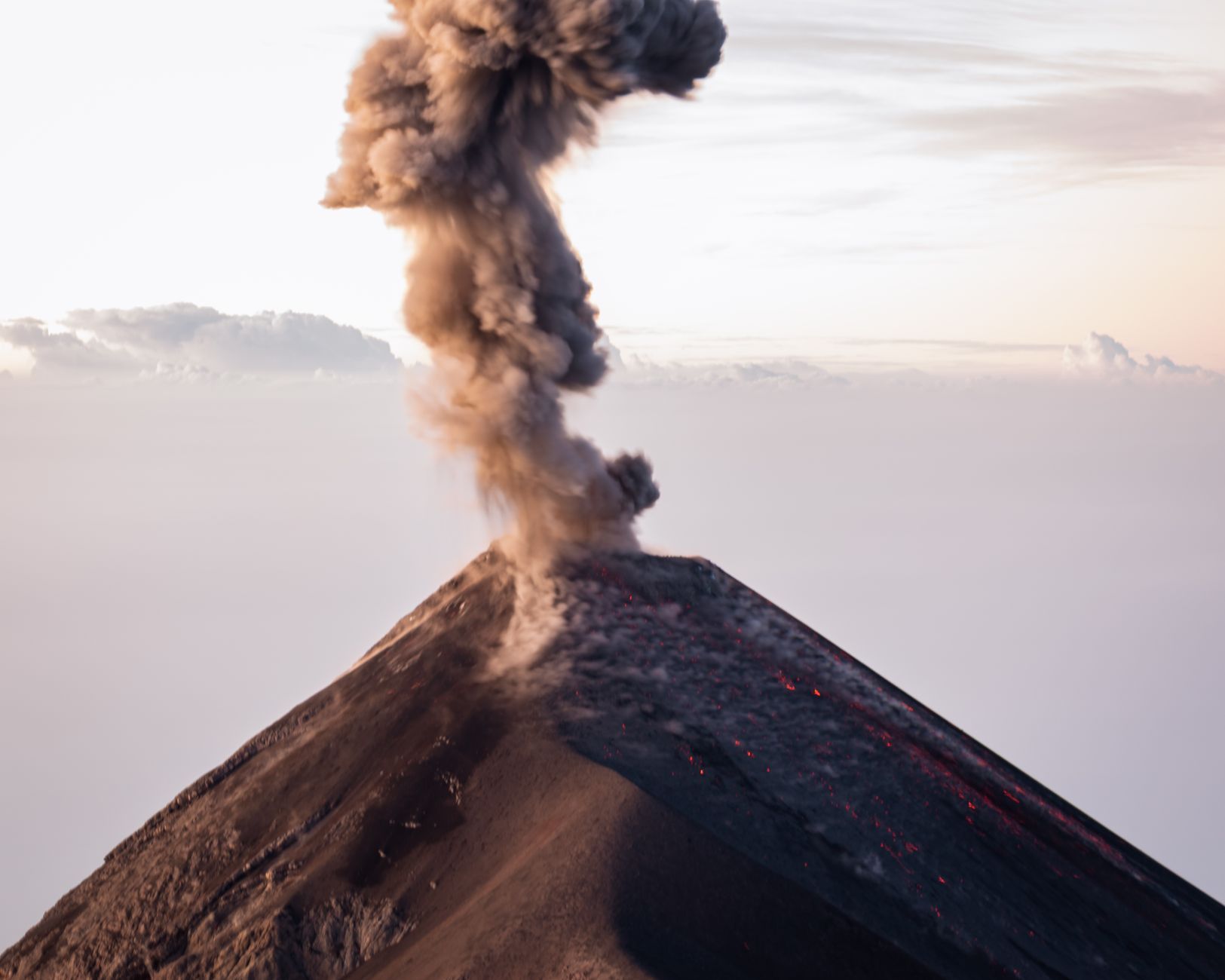
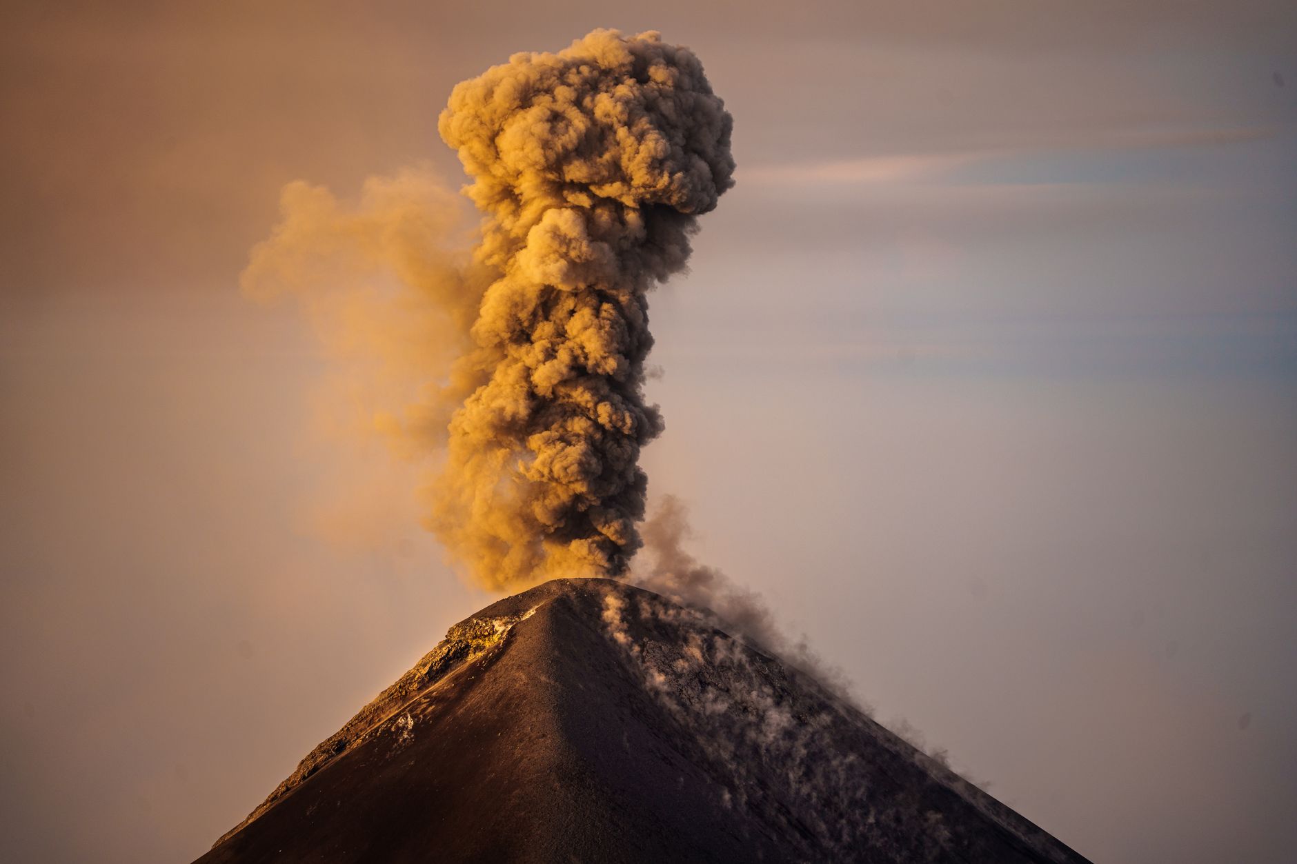
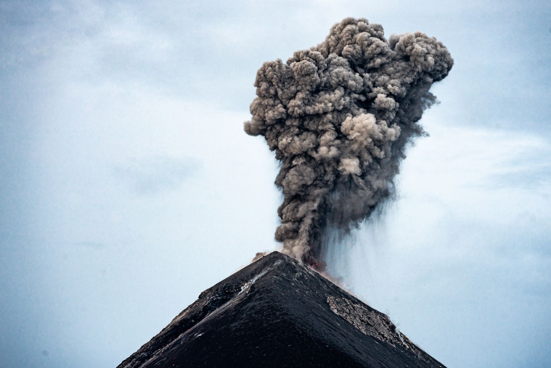
Acatenango stands at 3,976 metres above the Guatemalan highlands, and the thing that makes it unlike almost any other climb in Central America is what sits next to it. Fuego — the neighbouring active volcano — erupts every fifteen to thirty minutes, and from Acatenango's base camp you watch the whole sequence: the deep percussion, the orange plume, the slow crawl of lava down Fuego's flanks in the dark.
The route up passes through four distinct worlds: cornfields where local farmers grow squash and corn, then old-growth cloud forest where the resplendent quetzal occasionally appears, then high alpine pines, then the bare black slope of the volcanic cone itself. Carry everything you need — there is no water on the mountain.
How Acatenango Volcano came to be
The volcanic complex is old — activity along this ridge stretches back more than 200,000 years. The lower northern summit, Yepocapa (also called Tres Hermanas), went quiet around 20,000 years ago, after which the main cone, Pico Mayor, was built up over millennia into the peak that exists today.
Documented eruptions came only in the twentieth century: a sequence running from 1924 to 1927, originating just north of Pico Mayor's summit, and a second episode in December 1972 from the saddle between Yepocapa and Pico Mayor. That 1972 event was the last. Acatenango has been dormant since, which is part of why the real volcanic drama here belongs to Fuego, visible from the ridge throughout the night.
Who and what shaped it
Landmark buildings
See Acatenango Volcano in motion
Plan your visit
On the map
When to go
November through April is the cleaner season — stronger winds clear the skies and the views can stretch to the Mexican border, though nights at base camp hover near freezing and can drop to -5°C in a cold front. May through October brings afternoon rain, muddier trails, and cloud that can obscure Fuego entirely; the hike is harder and the payoff less reliable.
Right now
Background & history adapted from Wikipedia (CC BY-SA) · specs from Wikidata (CC0) · weather from Open-Meteo · map data © OpenStreetMap contributors · photos from Wikimedia Commons / Unsplash with per-image credit. No third-party reviews or social posts reproduced.