
Yucay
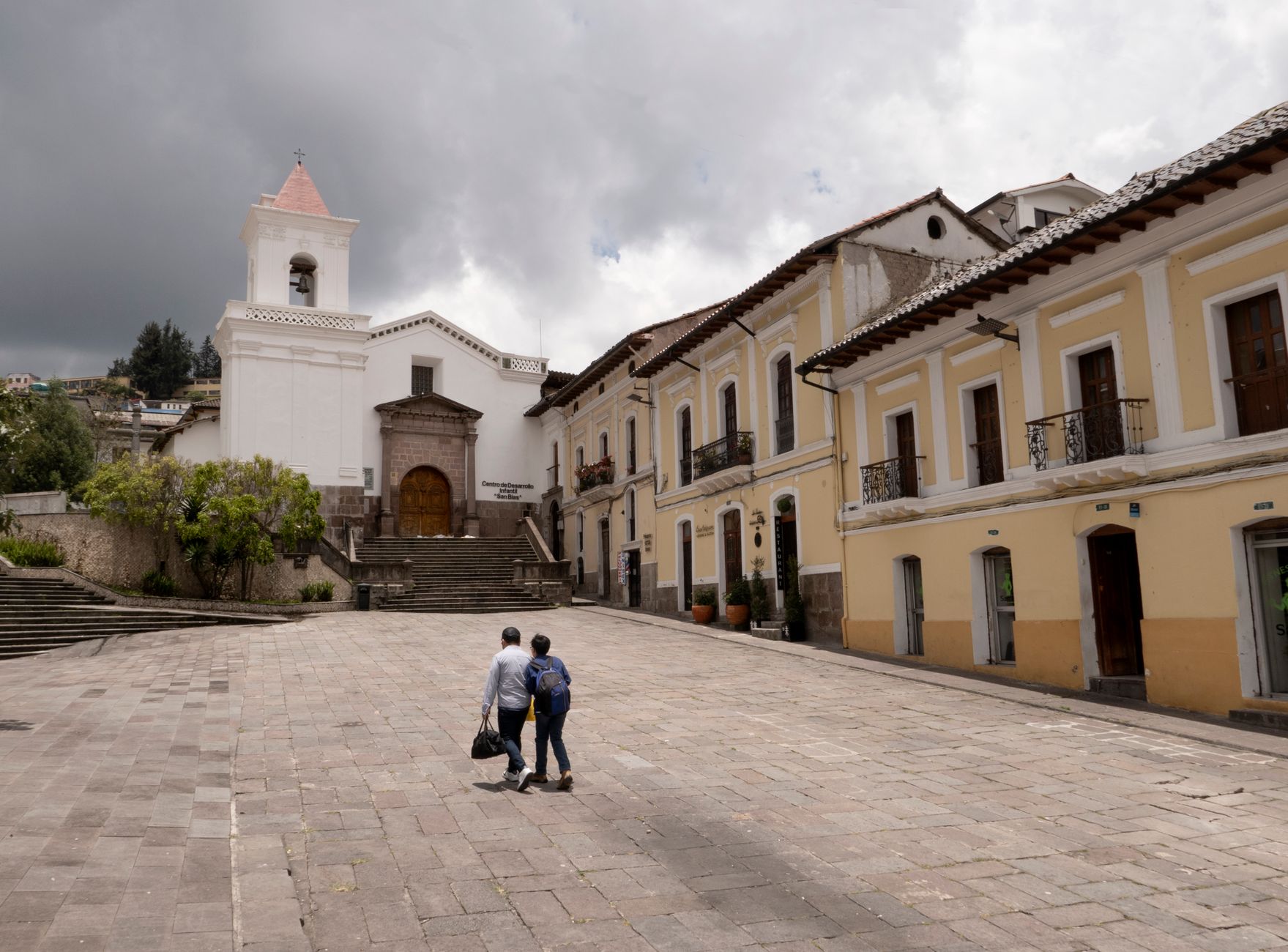
Yucay's name, in Quechua, means something close to 'charm' or 'deception' — and the town earns both readings. It is only a few streets wide, sitting at 2,860 metres in the Sacred Valley between Pisac and Ollantaytambo, its adobe-and-stucco buildings arranged around a plaza shaded by tall Pisonay trees. What looks like a quiet colonial backwater turns out to rest on the foundations of an Inca imperial estate.
The agricultural terraces here — the Pacaypata platforms, five metres high and up to a hundred metres long — are still planted and worked, making them among the most continuously cultivated ground in the Andes. A mythological stone near the edge of town maps the three layers of the Andean cosmos: condor, puma, serpent. You can walk from one end of Yucay to the other in twenty minutes, but the layers underneath it take longer to read.
💛 What travellers fall for
People who come back tend to mention the same thing: staying the night changes the place entirely. Once the day-trippers clear out, the plaza goes quiet, the Pisonay trees hold the late light, and the terraces above town glow amber. The Sonesta Posada del Inca — built on the old Santa Catalina monastery foundations — is the obvious overnight choice.
Deals in Yucay
Book directly at the provider


How Yucay came to be
The land Yucay sits on was an imperial possession of Huayna Cápac, the Inca ruler who ordered palaces, terracing and an irrigation system built here in the late 15th and early 16th centuries. Emperors used the valley as a rest stop and retreat. After the Spanish invasion in the mid-16th century, Yucay became a flashpoint: Manco Inca fought here until he was defeated, and the struggle continued through his descendants. His son Sayri Túpac eventually negotiated peace with the Spanish, accepting the Yucay lands and privileges in exchange — and building his own palace on the site, adobe and Inca stonework combined, which still stands close to the town centre.
The Spanish formally organized Yucay as an encomienda, a colonial land grant worked by indigenous labour. The Santiago Apóstol church went up in 1650, its altar decorated in gold and silver, and the town settled into the slow colonial rhythm it kept for centuries. It became a district of Urubamba Province in 1905. The 16th-century chronicler Pedro Cieza de León, passing through, called it 'very beautiful' — a judgment the terraces still make easy to understand.
Who and what shaped it
People who shaped it
Landmark buildings
See Yucay in motion
Plan your visit
On the map
When to go
May through October brings the driest, sunniest days, though evenings cool sharply — July nights can drop to around 2°C, so a warm layer is not optional. November through April sees frequent rain, with February the wettest month by some distance.
Background & history adapted from Wikipedia (CC BY-SA) · specs from Wikidata (CC0) · weather from Open-Meteo · map data © OpenStreetMap contributors · photos from Wikimedia Commons / Unsplash with per-image credit. No third-party reviews or social posts reproduced.