
Whitsunday Islands
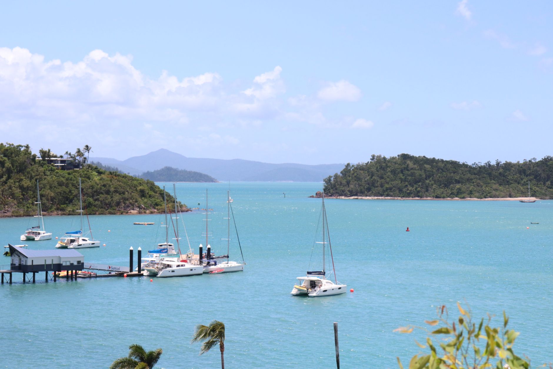
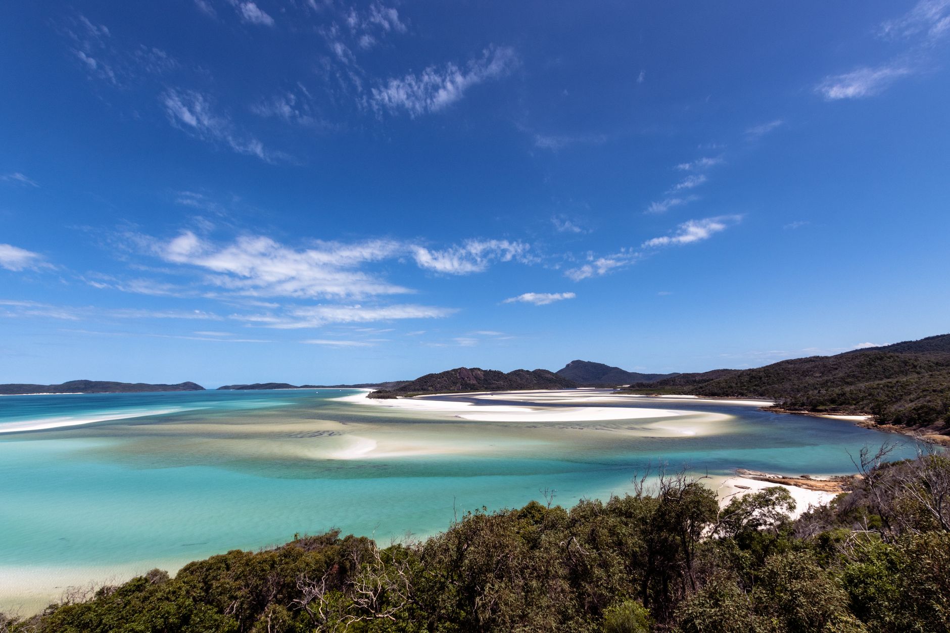
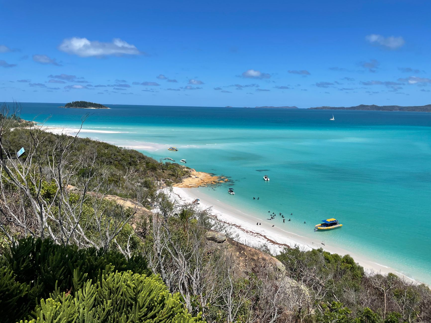
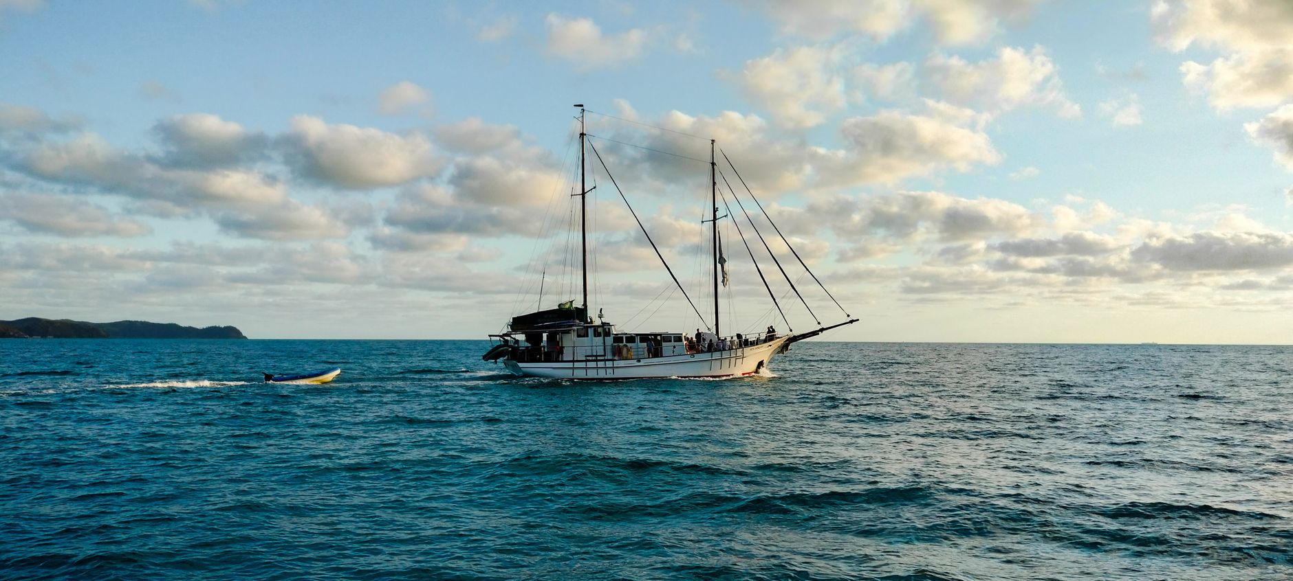
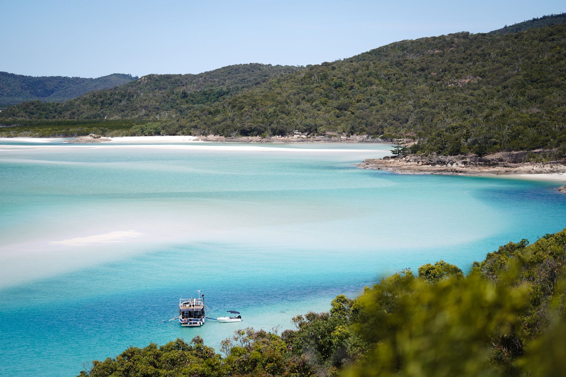
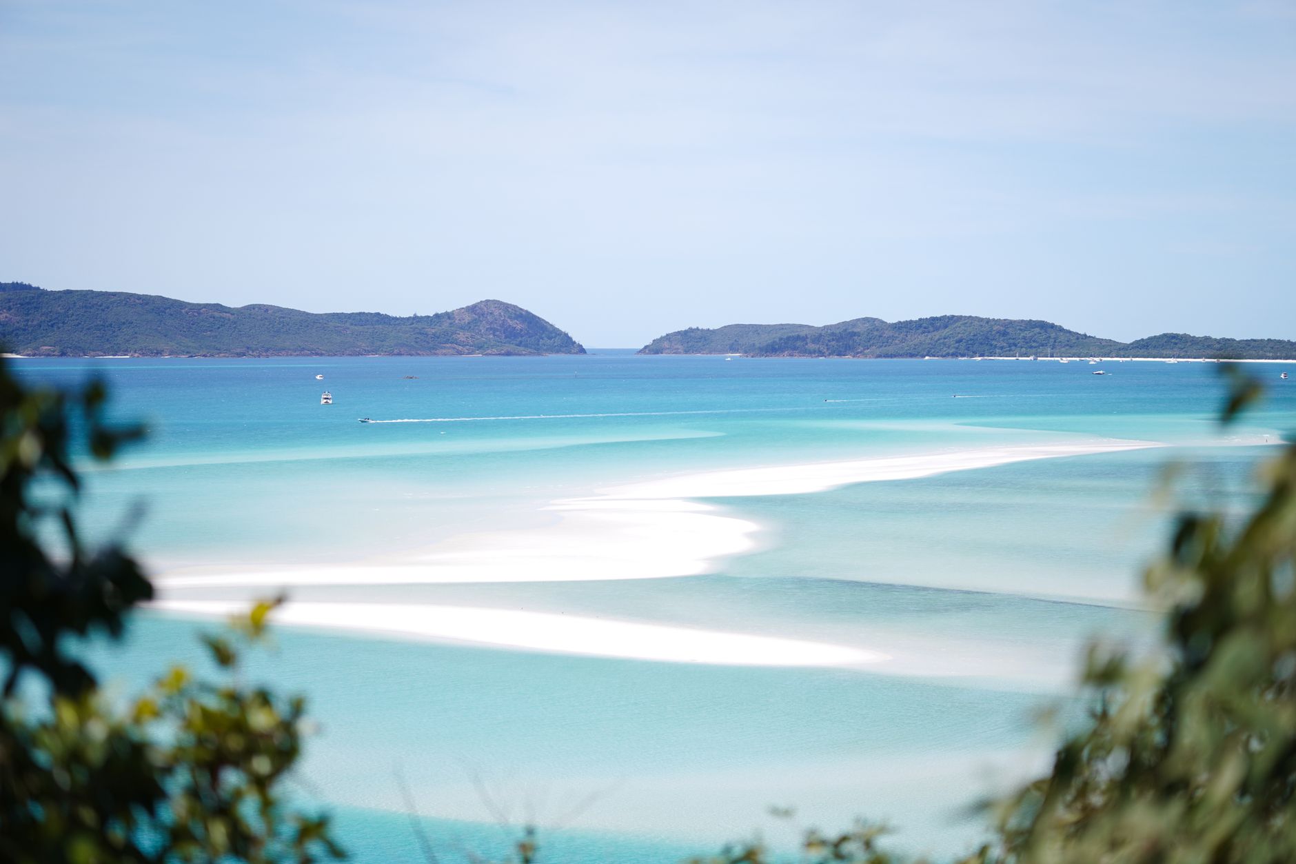
The Whitsundays are 74 islands scattered across the Coral Sea, most of them forested and uninhabited, their peaks the remnants of a drowned mountain range swallowed by rising seas ten thousand years ago. What you notice first, arriving by catamaran from Airlie Beach, is the silence between the islands — the way the water shifts from deep navy to a luminous turquoise as the hull passes over shallower ground.
Whitehaven Beach, on the east coast of Whitsunday Island itself, is the reference point everyone uses, and the silica sand there really is a different thing from ordinary beach sand — cool underfoot even in full sun, almost powder. But the archipelago rewards those who look past it, into the inlet cave paintings, the underwater sculpture trail, the sea trails that link three islands by kayak and foot.
💛 What travellers fall for
People who return tend to anchor somewhere quieter the second time. Nara Inlet on Hook Island comes up often — the ancient Ngaro cave paintings are a short walk from the water, and the inlet itself is calm enough to sleep on a boat without waking. The Ngaro Whitsundays Underwater Art Trail at snorkelling depth is worth timing for a calm morning.
Deals in Whitsunday Islands
Book directly at the provider
How Whitsunday Islands came to be
On 3 June 1770 — a Sunday, though the Whitsunday name is thought to derive from the Christian feast of Whitsun — Captain James Cook sailed the Endeavour through the passage between the islands and named it accordingly. He called the islands themselves the Cumberland Isles, after the Duke of Cumberland. By then, the Ngaro people had been living across these waters for roughly eight thousand years, navigating between islands in canoes and quarrying stone axes on South Molle Island.
European settlement arrived with a logging camp in 1861, established by Eugene Fitzalan to harvest hoop pine for construction at Bowen. By 1878 the colonial Native Police had violently dispersed the Ngaro from their islands. Tourism followed in 1923, when Angus Nicholson opened a small lodge on Lindeman Island; Daydream Island became one of Australia's earliest island resorts in the 1930s, and the road to Shute Harbour, completed in 1962, opened the islands to the wider public.
Who and what shaped it
People who shaped it
Landmark buildings
See Whitsunday Islands in motion
Plan your visit
On the map
When to go
April through October brings the most reliable weather — warm days, low humidity, and southeast trade winds that make sailing conditions good. November to March is hotter and wetter, with occasional tropical cyclones making some weeks unpredictable.
Right now
Background & history adapted from Wikipedia (CC BY-SA) · specs from Wikidata (CC0) · weather from Open-Meteo · map data © OpenStreetMap contributors · photos from Wikimedia Commons / Unsplash with per-image credit. No third-party reviews or social posts reproduced.