
Watzmann
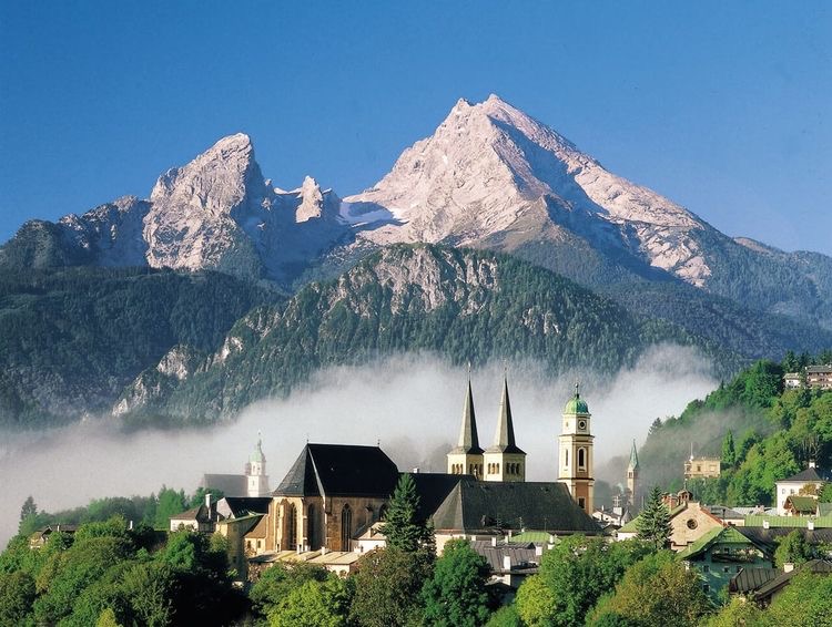
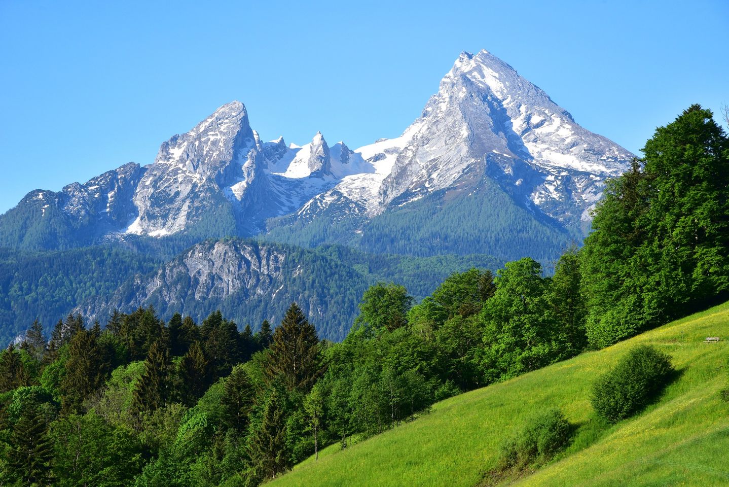
The Watzmann is three peaks in one body — Hocheck, Mittelspitze, Südspitze — rising above Berchtesgaden like a family frozen mid-argument. The east face drops roughly 1,800 metres straight to the valley, one of the longest and most unforgiving walls in the Eastern Alps. Most people see it from below, framed by the Königssee's dark water, and that view alone justifies the journey.
The mountain sits entirely inside Berchtesgaden National Park, which means no lifts ever made it up here — a plan floated in the 1960s came to nothing — and the silence above the treeline is still earned on foot.
💛 What travellers fall for
People who come back tend to time their stay around Watzmannhaus, the DAV hut at 1,930 m, rather than pushing straight for a summit. Arriving the evening before and watching the east face catch the last light costs nothing and changes your sense of what you're looking at. The hut opens mid-May; book well ahead for weekends in July.
The story behind Watzmann
The first recorded ascent of any Watzmann summit was by botanist G. A. Weitzenbach, who reached the Hocheck in 1784 — he was there for the plants, not the glory. Valentin Stanic, a Salzburg chaplain, pushed on to the Mittelspitze in 1799 or 1800, and the Südspitze fell to P. C. Thurwieser in 1832. The east face waited until 1881, when local mountain guide Johann Grill, known as Kederbacher, climbed it with Otto Schück.
The face's reputation for danger was established early: Christian Schöllhorn died on it in May 1890, and the small glacier nearby carries his name. Herman Buhl, later famous for the first solo ascent of Nanga Parbat, made the first winter ascent of the east face in 1953. Stone steps and fixed ropes appeared on the Hocheck route in 1898; the easiest line on the whole mountain, the Berchtesgadener Weg, wasn't identified until 1947.
Good to know
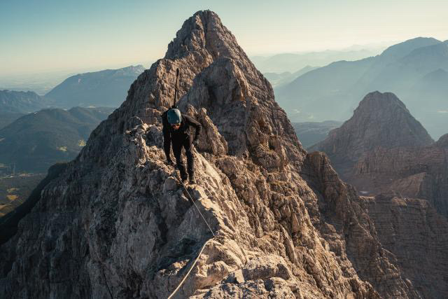
Take bus 846 from Berchtesgaden toward Hintersee and get off at Wimbachbrücke (parking €2.50/day). Hiking season runs June through September; the traverse of all three peaks is serious alpine terrain — UIAA Class II, very exposed — and realistically a 12-to-17-hour day. The east face has claimed nearly 100 lives; treat it accordingly.
Summer (June–September) brings the most stable conditions; afternoon thunderstorms build quickly and the exposed ridge offers no shelter. Outside this window, snow and ice make the traverse genuinely dangerous; the east face holds winter conditions well into spring.
Where is Watzmann?
More tickets & tours for Watzmann
Book directly at the provider
What travellers say about Watzmann
Photos: @zack.meld Watzmann, Germany 🇩🇪 Altitud: 2.713m 🎒 31 km | ⛰️ 2,570 m elevation | 🕒 15h 43min It’s not just a mountain. It’s a test of will.
Very nice trip but still very difficult if You’re going to perform the whole way. Have to be prepared. Have to have climbing harness and climbing gear, specially if You going to Kleiner Watzmann.
Beautiful mountain and nice tour. Definitely not for beginners tho, it’s over 2600m high at the smallest of the three summits and I Still can’t wrap my head around the fact that a lot of people come here who have never climbed a mountain before and think it’s a Good idea to start with one like the mighty Watzmann. For advanced people very much to recommend, the Überschreitung is really an amazing tour with incredible views and cool climbing parts.
10/10 killed my legs
Great place for Skitouring
More of Berchtesgaden
Discover where to stay, what to do and the best deals for your trip.
Explore Berchtesgaden →More attractions in Berchtesgaden
All of Berchtesgaden →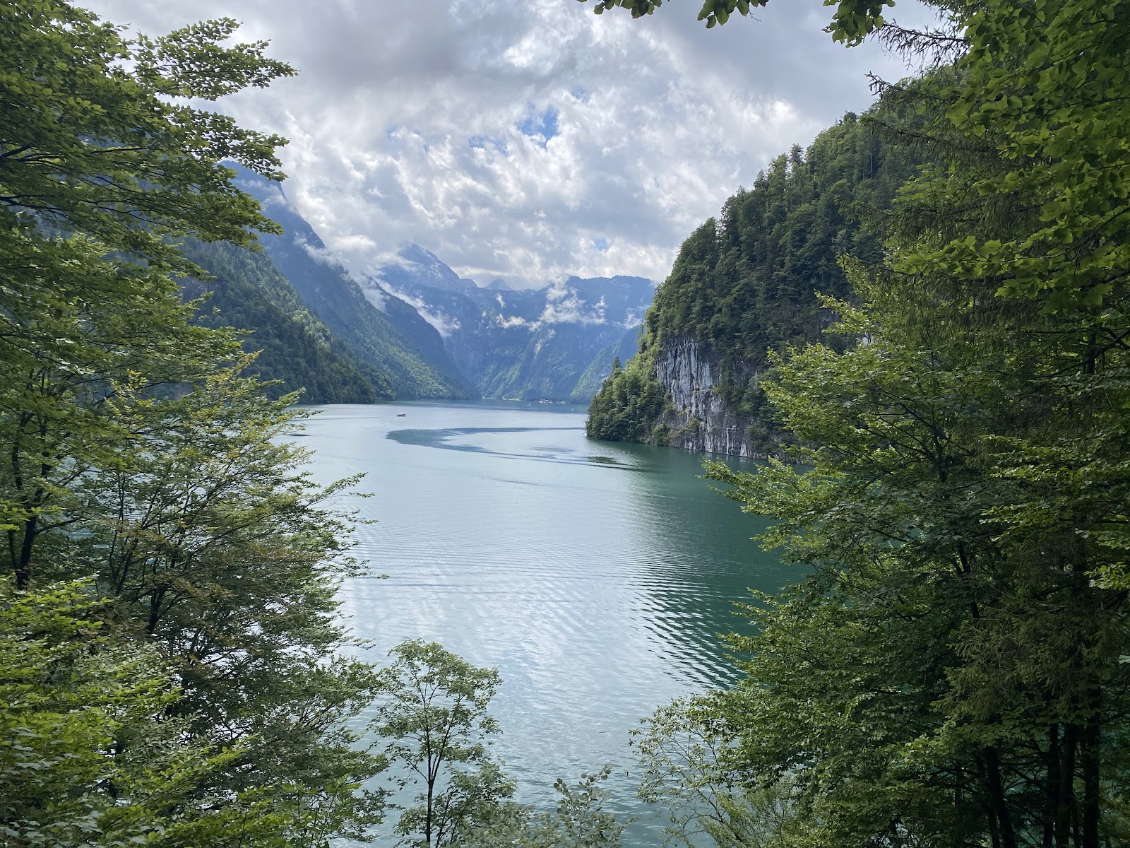

Background adapted from Wikipedia (CC BY-SA) · map data © OpenStreetMap contributors · ratings & place photos via Google · other photos with per-image credit. Ticket links may earn us a commission at no extra cost to you.