
Waitakere
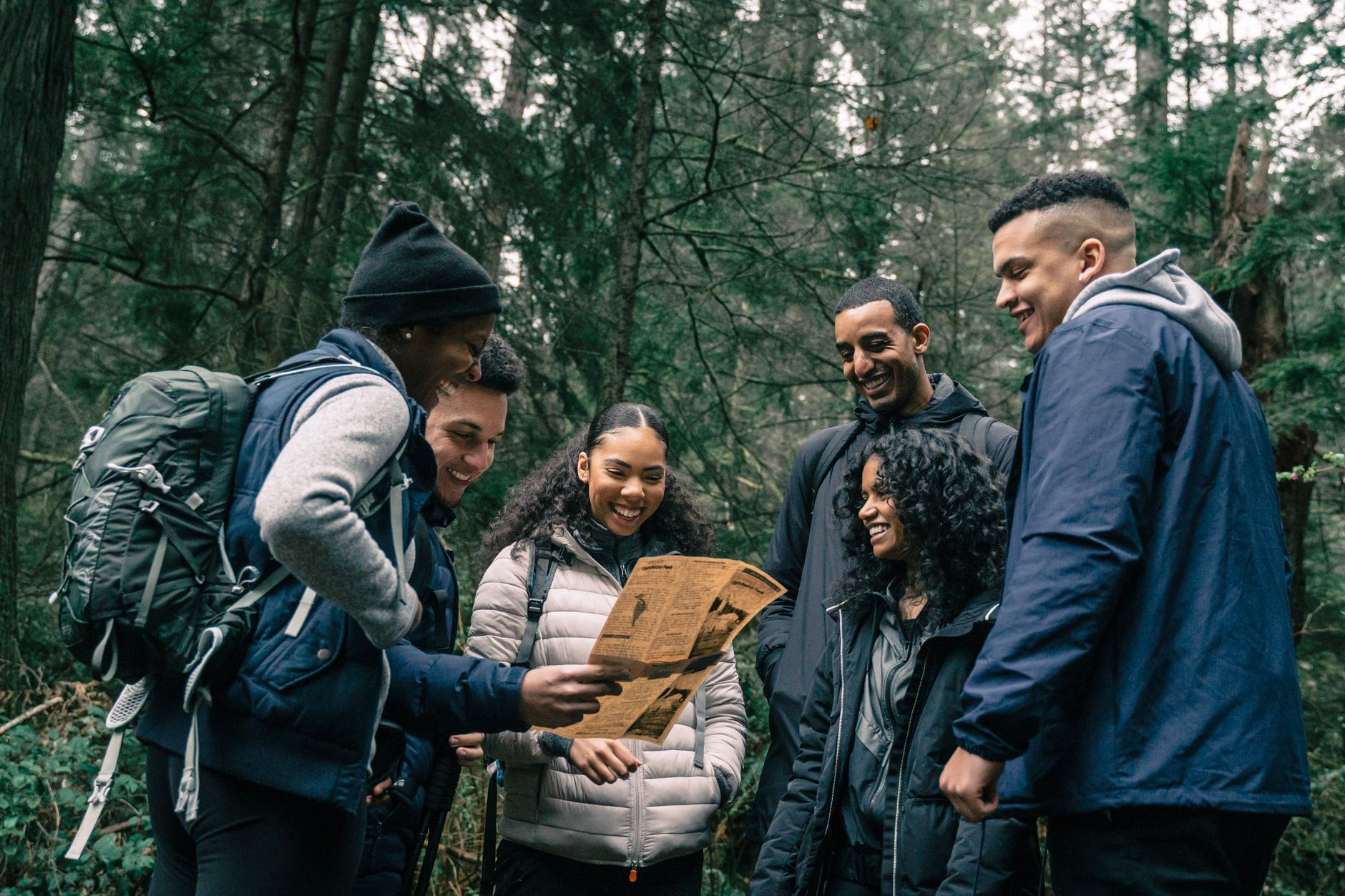
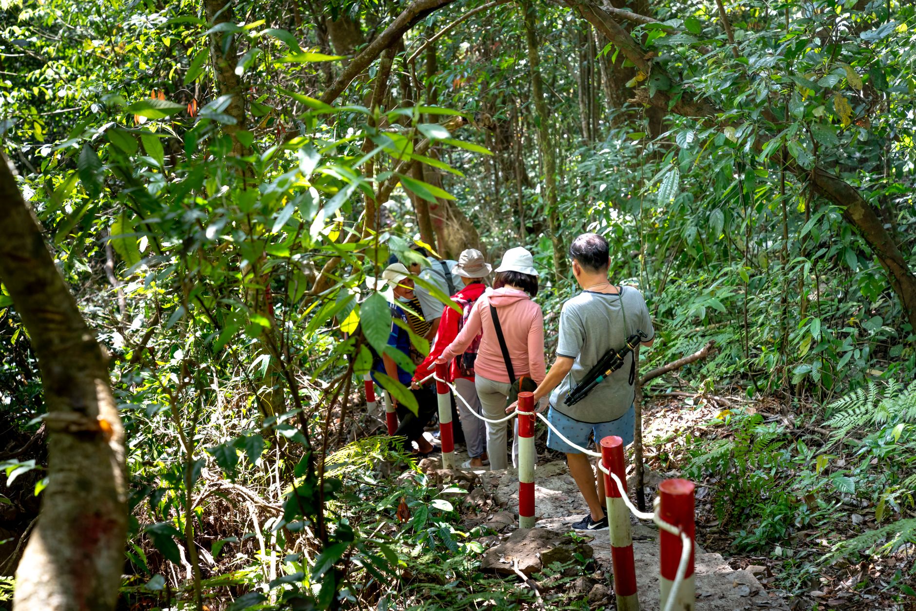

The western edge of Auckland is a different country. Waitakere is where the city quietly gives way to ancient kauri forest, black-sand surf beaches, and ranges that receive twice the rainfall of the CBD — which explains why the bush here is so extravagantly green. The Waitākere Ranges Regional Park covers 16,000 hectares threaded by 143 walking tracks, and the kauri at Cascades Kauri Park have been standing for up to 2,000 years.
Piha's Lion Rock — the eroded neck of a long-extinct volcano — divides two stretches of black sand and draws surfers year-round. The Arataki Visitor Centre in Oratia is the sensible place to orient yourself before heading into the ranges, and it costs nothing to walk through the door.
💛 What travellers fall for
People who keep coming back tend to say the same thing: arrive early for Piha before the surf crowd fills the car park, and don't underestimate the Hillary Trail — all 77 kilometres of it running north from Arataki to Muriwai. Pack a rain layer regardless of the forecast. The west does its own weather.
Deals in Waitakere
Book directly at the provider

How Waitakere came to be
The name comes from the Waitākere River, which runs through the ranges that define this part of Auckland's western flank. In the latter 19th century the King brothers ran a flax mill at Waitākere, and in 1881 the railway reached the settlement when the North Auckland Line was extended from New Lynn to Helensville. Pre-European Māori left pa sites at multiple points around the ranges — Blockhouse Bay, Cornwallis, Whatipu and elsewhere — evidence of a long, careful reading of this coastal landscape.
Waitakere City as an administrative entity existed only from 1989 to 2010, formed by merging Waitemata City with the Henderson, New Lynn and Glen Eden boroughs, then absorbed into the wider Auckland Council. In 1940, 6,400 hectares of the ranges were set aside as Centennial Memorial Park to mark Auckland's founding centenary — the seed of what is now the regional park.
Who and what shaped it
People who shaped it
Landmark buildings
See Waitakere in motion
Plan your visit
On the map
When to go
Summers are warm rather than hot, with January and February averaging around 20°C and daily highs nudging 22–23°C. Winters are mild but genuinely wet — July and August bring around 15 rainy days a month, and the ranges collect roughly 2,000 mm of rain a year, so a waterproof layer earns its place in your pack in any season.
Right now
Background & history adapted from Wikipedia (CC BY-SA) · specs from Wikidata (CC0) · weather from Open-Meteo · map data © OpenStreetMap contributors · photos from Wikimedia Commons / Unsplash with per-image credit. No third-party reviews or social posts reproduced.