
Waimea
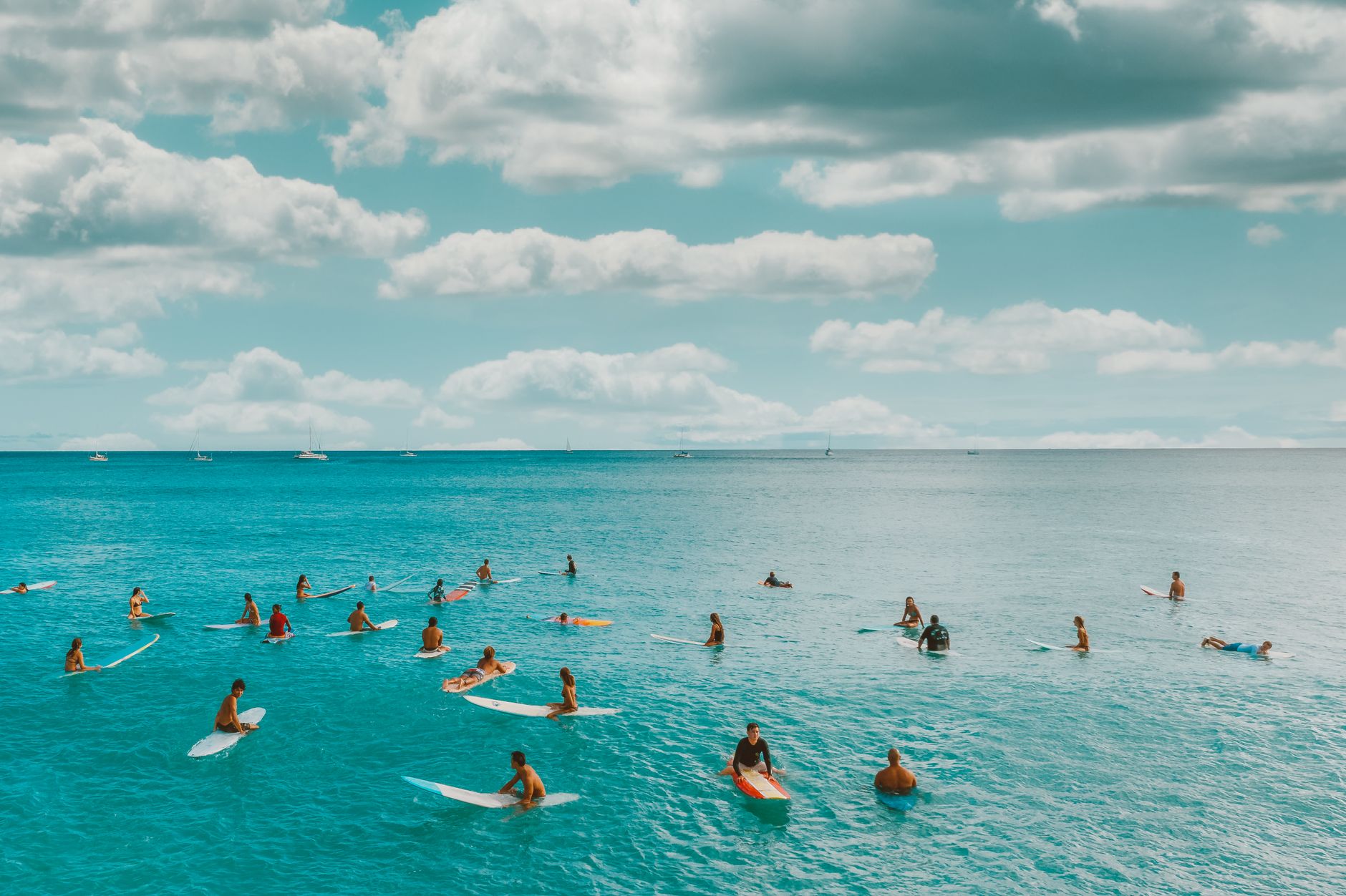
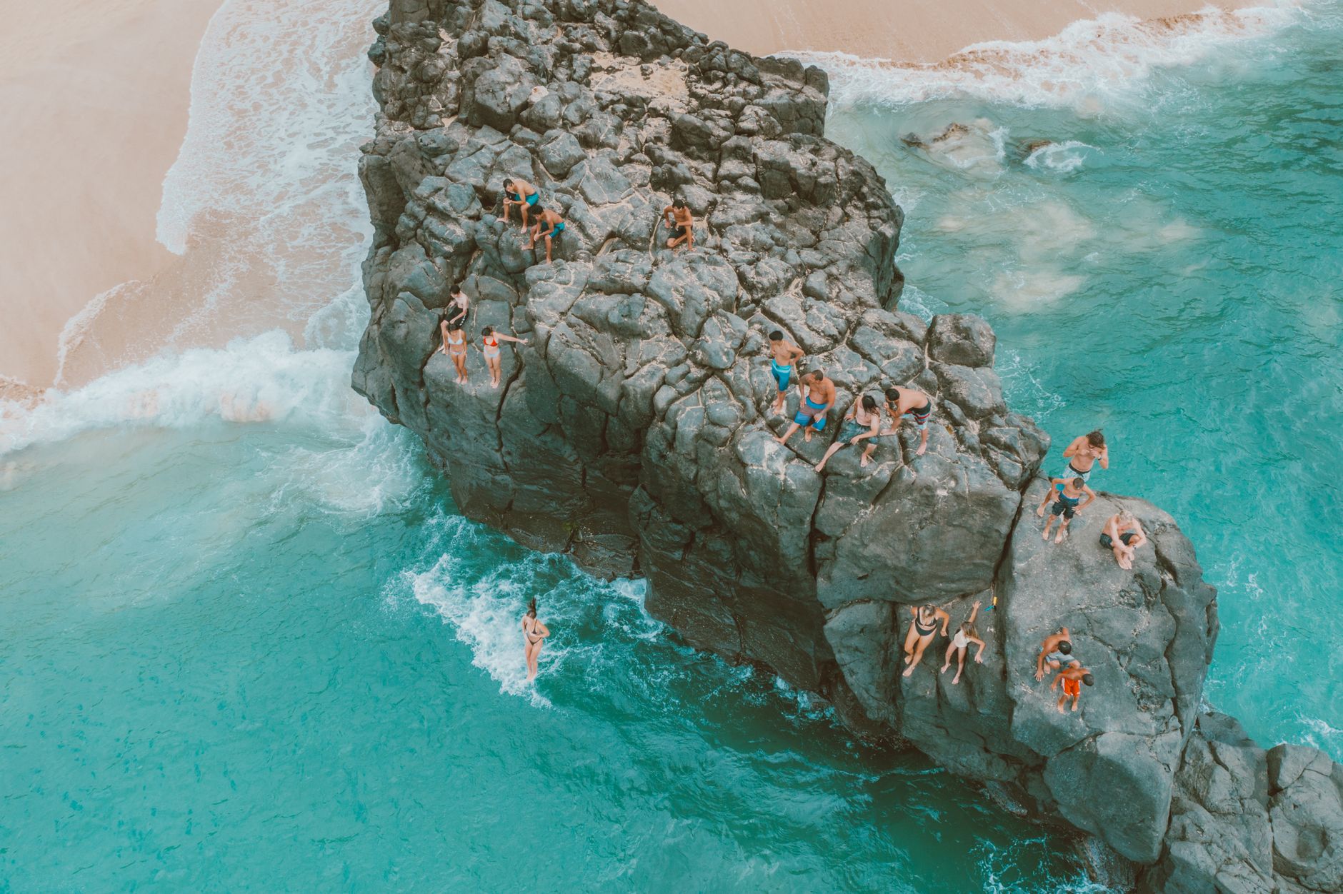
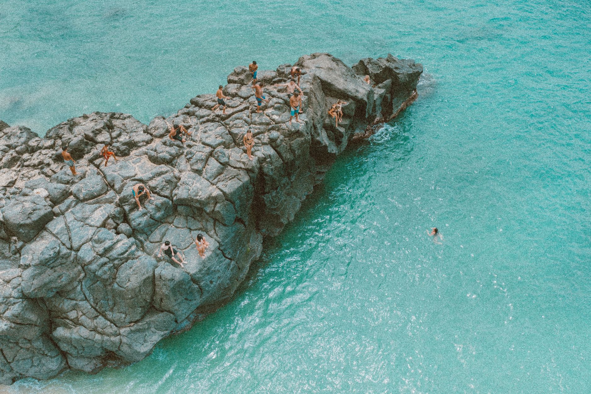
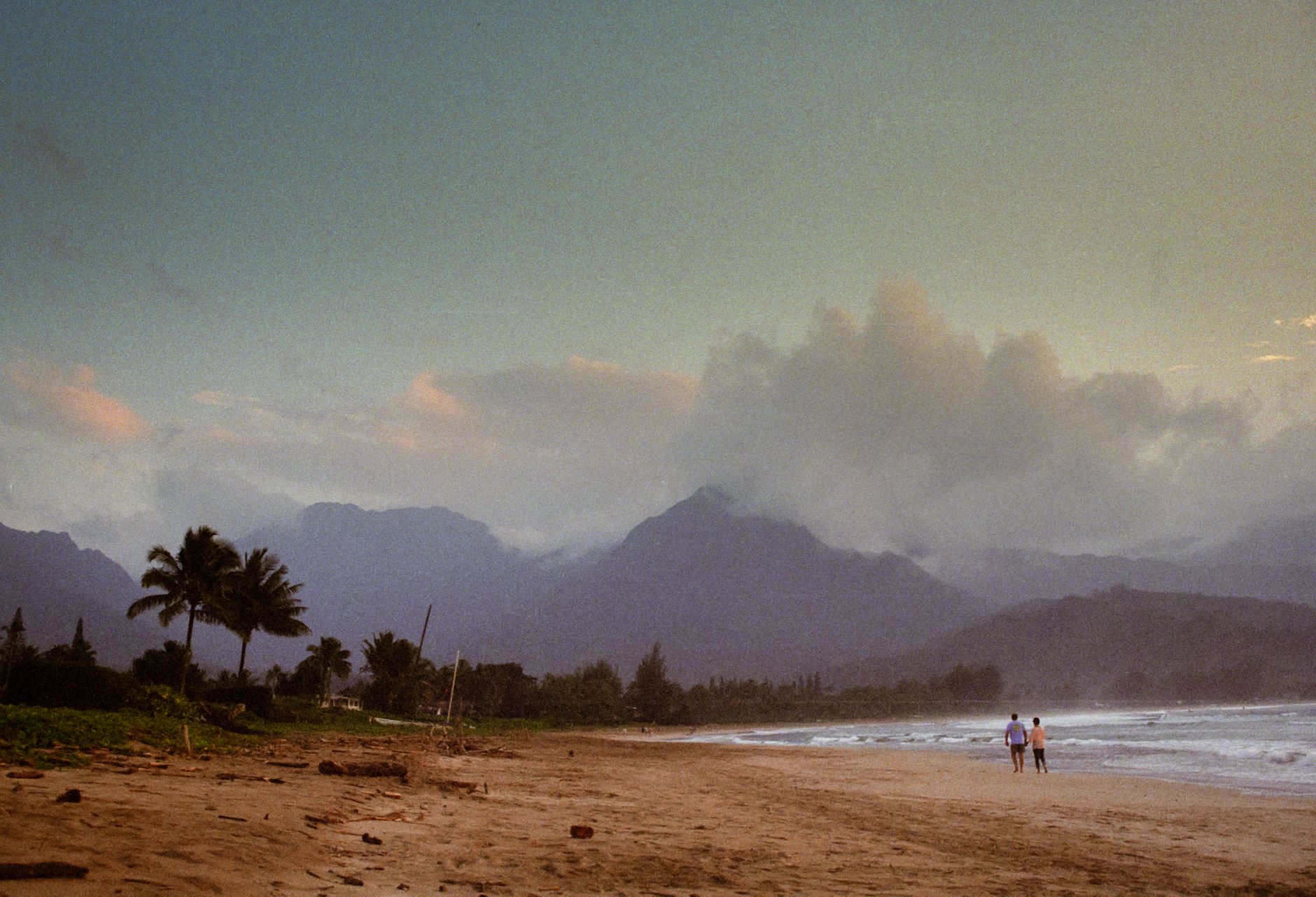
At 2,676 feet above the Pacific, Waimea sits in a belt of cool air where the Big Island's wet and dry sides meet — sometimes within the same city block. The town smells of grass and eucalyptus rather than sunscreen, and the light in the late afternoon has a mainland quality to it, golden and long. This is paniolo country, shaped by a king's cattle kapu and a sailor's ambition, and the ranching identity runs deeper here than any tourism layer laid over it.
The commercial core is only a few blocks, anchored by working ranches rather than resorts, and two world-class telescope operations quietly headquarter themselves here because the mountain air is so reliably clear at night.
💛 What travellers fall for
People who come back tend to time it around the Fourth of July rodeo, which draws serious competitors and feels nothing like a tourist event. They also mention the Kahilu Theatre — built by Parker heir Richard Smart — as a genuine reason to plan an evening. The Cherry Blossom Festival in early February turns out to be a local affair worth catching.
Deals in Waimea
Book directly at the provider
How Waimea came to be
The story of Waimea begins with cattle. In the 1790s, British navigator George Vancouver presented cattle to King Kamehameha I, who placed a kapu — a royal taboo — on killing them. The herds multiplied unchecked across the upland plains. Into this came John Parker, a sailor who in 1812 obtained a license from Kamehameha to hunt and domesticate the animals. From that arrangement, Parker Ranch grew into one of the largest Hereford cattle operations in the United States, covering roughly 175,000 acres.
The town's post office name, Kamuela, is the Hawaiian rendering of Samuel — after Samuel Parker, John's grandson, who ran the ranch in the late nineteenth century. By 1898 a small railroad connected Waimea to the coast. That infrastructure faded across the twentieth century, but the ranching culture never did.
Who and what shaped it
People who shaped it
Landmark buildings
See Waimea in motion
Plan your visit
On the map
When to go
Waimea runs cooler than the rest of the Big Island year-round — August peaks around 27°C (81°F) and January rarely drops below 23°C (73°F) — with morning fog and trade-wind breezes that make evenings feel genuinely crisp. Rain is spread across the year, so pack a light layer regardless of when you visit.
Right now
Background & history adapted from Wikipedia (CC BY-SA) · specs from Wikidata (CC0) · weather from Open-Meteo · map data © OpenStreetMap contributors · photos from Wikimedia Commons / Unsplash with per-image credit. No third-party reviews or social posts reproduced.