
Volta Redonda

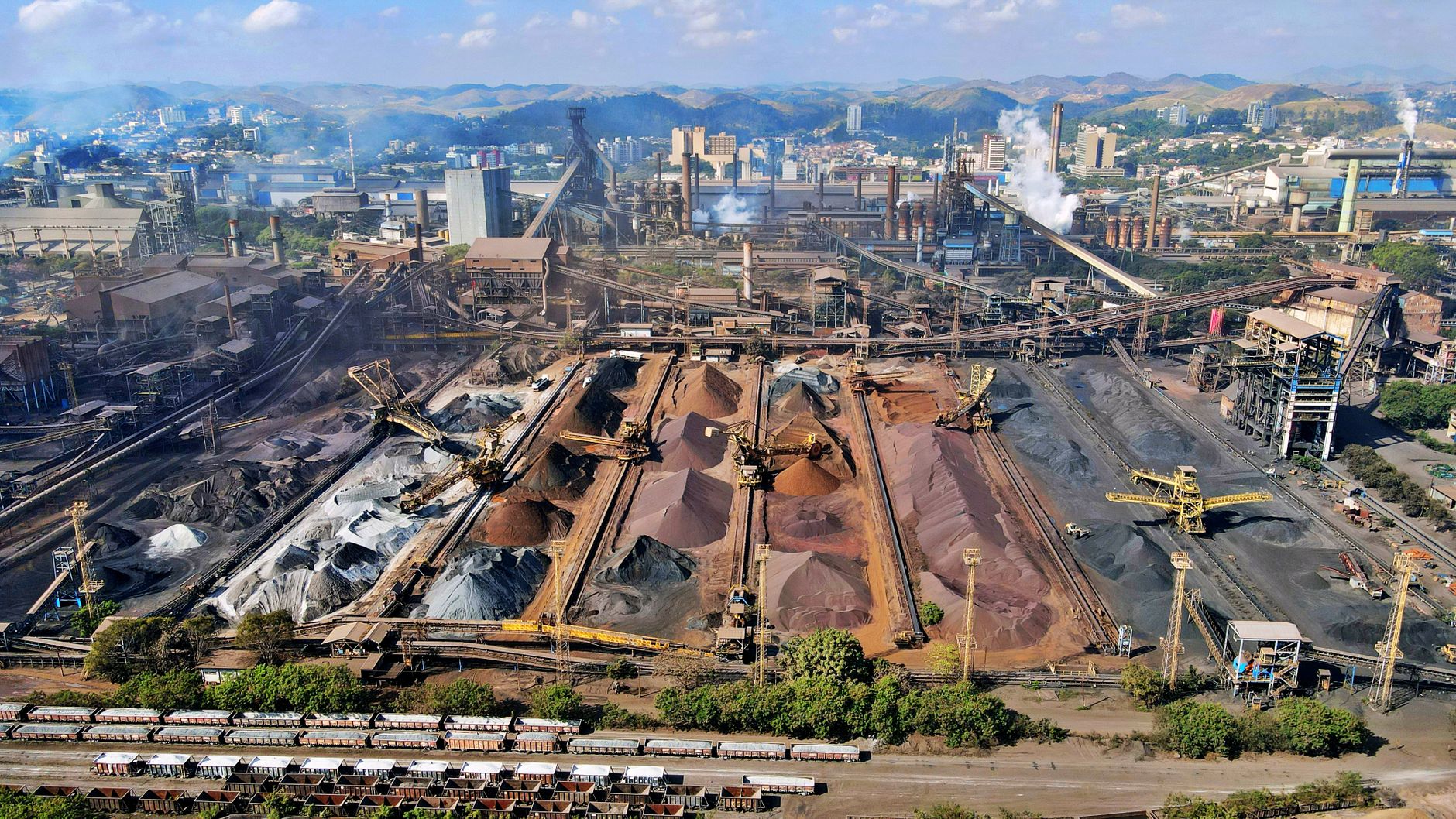

Volta Redonda owes its name to the river that shaped it: the Paraíba do Sul bends in a wide, round curve here, and the city grew around that turn. What grew, specifically, was steel — the kind that takes a whole government to will into existence. In 1946 the first ingots rolled out of what was then the largest steel complex in South America, and the city has carried that industrial identity ever since, wearing it matter-of-factly rather than as a tourist proposition.
Today, roughly 260,000 people live in a place that was essentially purpose-built from scratch in the early 1940s. The worker districts, the parks laid out alongside the furnaces, the stadium — all of it traces back to a single presidential decree and a specific bend in a river.
💛 What travellers fall for
People who pass through more than once tend to gravitate toward Vila Santa Cecília, the old worker quarter where the grid feels more human than the rest of the city. The Memorial Getúlio Vargas is worth the stop not for grandeur but for the strangeness of standing inside the origin story of a whole industrial city.
Deals in Volta Redonda
Book directly at the provider


How Volta Redonda came to be
The site was chosen in 1941 for pragmatic reasons: access to water, power, and a location roughly halfway between Rio de Janeiro and São Paulo. President Getúlio Vargas signed the decree creating the Companhia Siderúrgica Nacional, and the politician Amaral Peixoto — then Governor of Rio de Janeiro state — played a central role in steering the negotiations that landed the mill here rather than elsewhere. Construction ran from 1942 to 1946, when the first steel emerged from what was, at that moment, the first steel mill in South America.
For over a decade Volta Redonda existed as an industrial district within the neighboring municipality of Barra Mansa. On July 17, 1954, it became its own city. The CSN Foundation followed in 1961, taking on the educational and cultural infrastructure that the company had effectively been running since the beginning.
Who and what shaped it
People who shaped it
Landmark buildings
See Volta Redonda in motion
Plan your visit
On the map
When to go
The dry months, April through September, bring warm, clear days and temperatures that rarely climb past the low 30s Celsius — the more comfortable window for walking the city. December and January are the wettest, with heavy afternoon downpours that arrive with little warning.
Right now
Background & history adapted from Wikipedia (CC BY-SA) · specs from Wikidata (CC0) · weather from Open-Meteo · map data © OpenStreetMap contributors · photos from Wikimedia Commons / Unsplash with per-image credit. No third-party reviews or social posts reproduced.