
Vitry-le-François

Vitry-le-François announces itself through geometry. The streets meet at right angles, the central Place d'Armes stretches 117 metres across, and underfoot the pavements run a faint, dusty pink — enough to earn the city its quiet nickname. This is a town that was drawn before it was built, laid out on paper in 1545 by the Italian architect Girolamo Marini on the orders of Francis I, and the grid has held ever since.
The Marne slides past the southern edge and the Marne-Rhine Canal begins here, making Vitry an unlikely crossroads of road, rail and waterway. The collegiate church of Notre-Dame took 269 years to finish. One gate survives from the original four. The rest is a story of repeated erasure and patient reconstruction.
💛 What travellers fall for
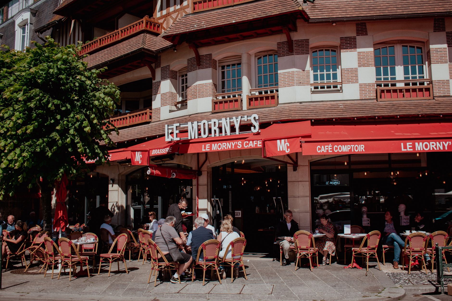
People who come back tend to arrive by water — mooring at the marina and walking the grid from the inside out. The Place d'Armes is the obvious centre, but the Chapelle Saint-Nicolas and the Musée de la Batellerie reward the second morning, when the canal-side greenways are quiet and the light on the pink paving is at its most particular.
Experiences you don't want to miss




Deals in Vitry-le-François
Book directly at the provider


How Vitry-le-François came to be
In 1544, during the Italian Wars, the original settlement of Vitry-en-Perthois was razed entirely. Francis I responded by commissioning a replacement from scratch: on 29 April 1545 he signed the Royal Letters authorising a new town, and Girolamo Marini produced the plan — a 612-metre square grid with a central place and four cardinal gates, a Renaissance ideal made real in the Champagne plain.
The town survived largely intact until the twentieth century, when it did not. Joffre briefly headquartered here in August 1914. In 1940 a German raid burned a quarter of the city; by 13 June that year, 90 percent was destroyed. The Allied raid of 28 June 1944 killed 500 people and finished what remained. Postwar reconstruction, led by architect Maurice Clauzier and supported by Toulouse, kept Marini's grid but filled the canal and ditches. Of the sixteenth-century city, one house and fragments of wall are all that physically remain.
Who and what shaped it
People who shaped it
Landmark buildings
See Vitry-le-François in motion
Plan your visit
On the map
When to go
Summers are warm without being punishing — June and August average around 25°C with generous sunshine — while winters turn genuinely cold and grey, often sitting near 1°C in January and February. Spring and autumn are the steadiest seasons for walking the streets in comfort.
Right now
Background & history adapted from Wikipedia (CC BY-SA) · specs from Wikidata (CC0) · weather from Open-Meteo · map data © OpenStreetMap contributors · photos from Wikimedia Commons / Unsplash with per-image credit. No third-party reviews or social posts reproduced.