
Vila Real de Santo António

Stand in Praça Marquês de Pombal and you'll notice something odd: the black-and-white cobblestones don't radiate outward from the edges of the square, they radiate from the obelisk at its centre, placed here in 1776 to honour a king. The geometry is deliberate to the point of obsession, and that's the whole story of Vila Real de Santo António — a town that didn't grow, it was decreed.
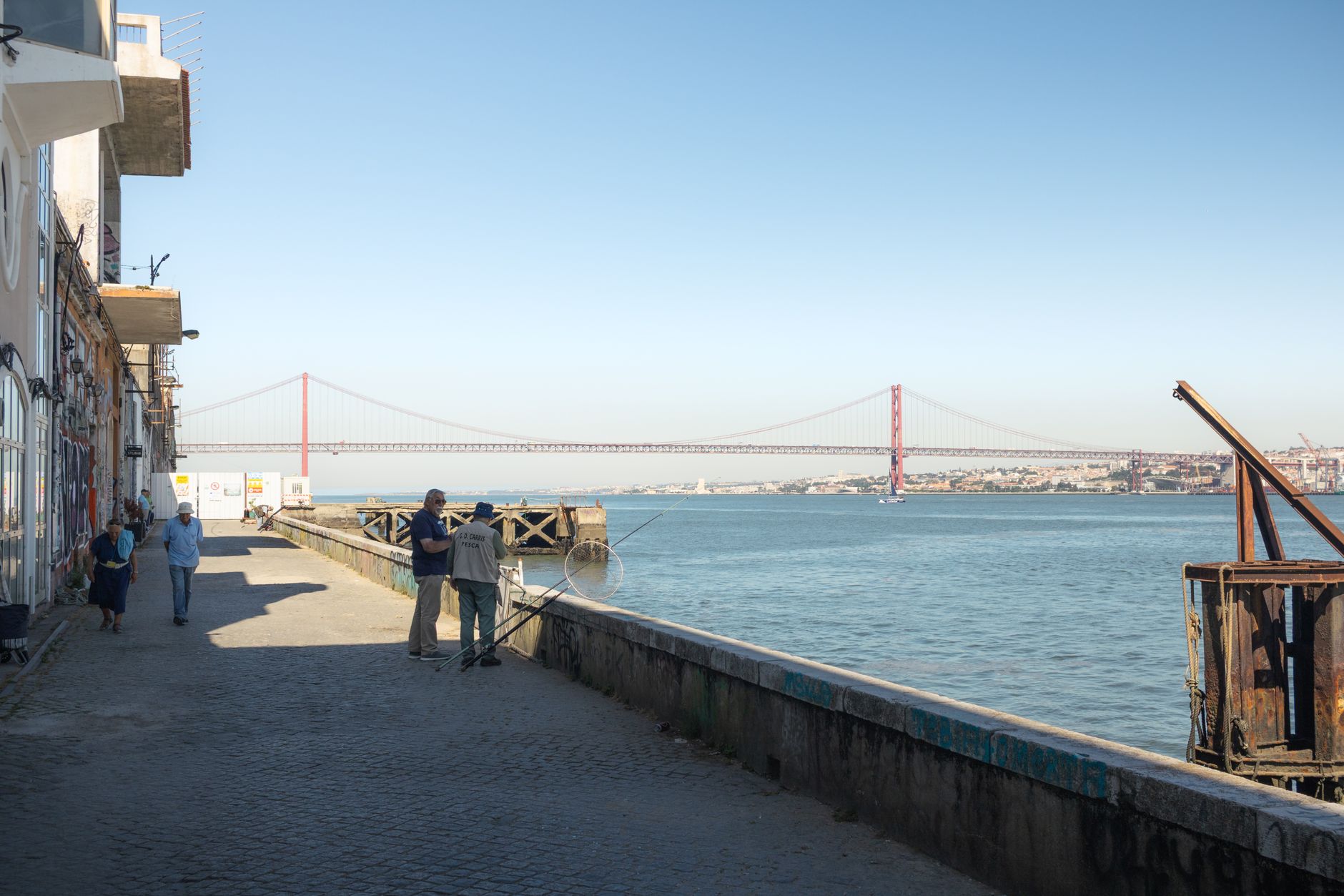
This is the easternmost city in the Algarve, sitting on the Guadiana River where Portugal ends and Spain begins. A 15-minute ferry ride puts you in Ayamonte. The lighthouse on the riverbank is 46 metres tall and opens only on Wednesdays. The grid of streets, drawn up by the Marquis of Pombal and assembled with prefabricated parts in under two years, still holds.
💛 What travellers fall for
People who come back tend to do the same things: coffee on the square in the morning before the tour groups arrive, the Wednesday lighthouse climb if the timing works out, and the ferry to Ayamonte for lunch — not because Spain is the point, but because the crossing itself, watching the town recede from the water, is the best view of it.
Deals in Vila Real de Santo António
Book directly at the provider

How Vila Real de Santo António came to be
On 30 December 1773, King Joseph I signed the decree founding Vila Real de Santo António — the name itself a nod to royal patronage. The man who turned that decree into stone and mortar was Sebastião José de Carvalho e Melo, the Marquis of Pombal, who had already rebuilt Lisbon after the catastrophic 1755 earthquake using an orthogonal grid and prefabricated construction. He applied the same logic here, on the Guadiana riverbank, and the town was complete by 1776.
The first stone went down on 17 March 1774. In 1886 it became the first city in the Algarve with gas lighting. The railway arrived on 14 April 1906. Fishing sustained the town for generations until the industry faded around the 1960s, and tourism gradually took its place.
Who and what shaped it
People who shaped it
Landmark buildings
See Vila Real de Santo António in motion
Plan your visit
On the map
When to go
Summers are long, dry and genuinely hot — daytime highs reach 31°C in July, with sea temperatures peaking around 22°C in August. Winters are short and mild, with most of the rain falling in November and December; January days average around 16°C, cold enough for a jacket in the evenings but rarely more than that.
Right now
Background & history adapted from Wikipedia (CC BY-SA) · specs from Wikidata (CC0) · weather from Open-Meteo · map data © OpenStreetMap contributors · photos from Wikimedia Commons / Unsplash with per-image credit. No third-party reviews or social posts reproduced.