
Vela Luka
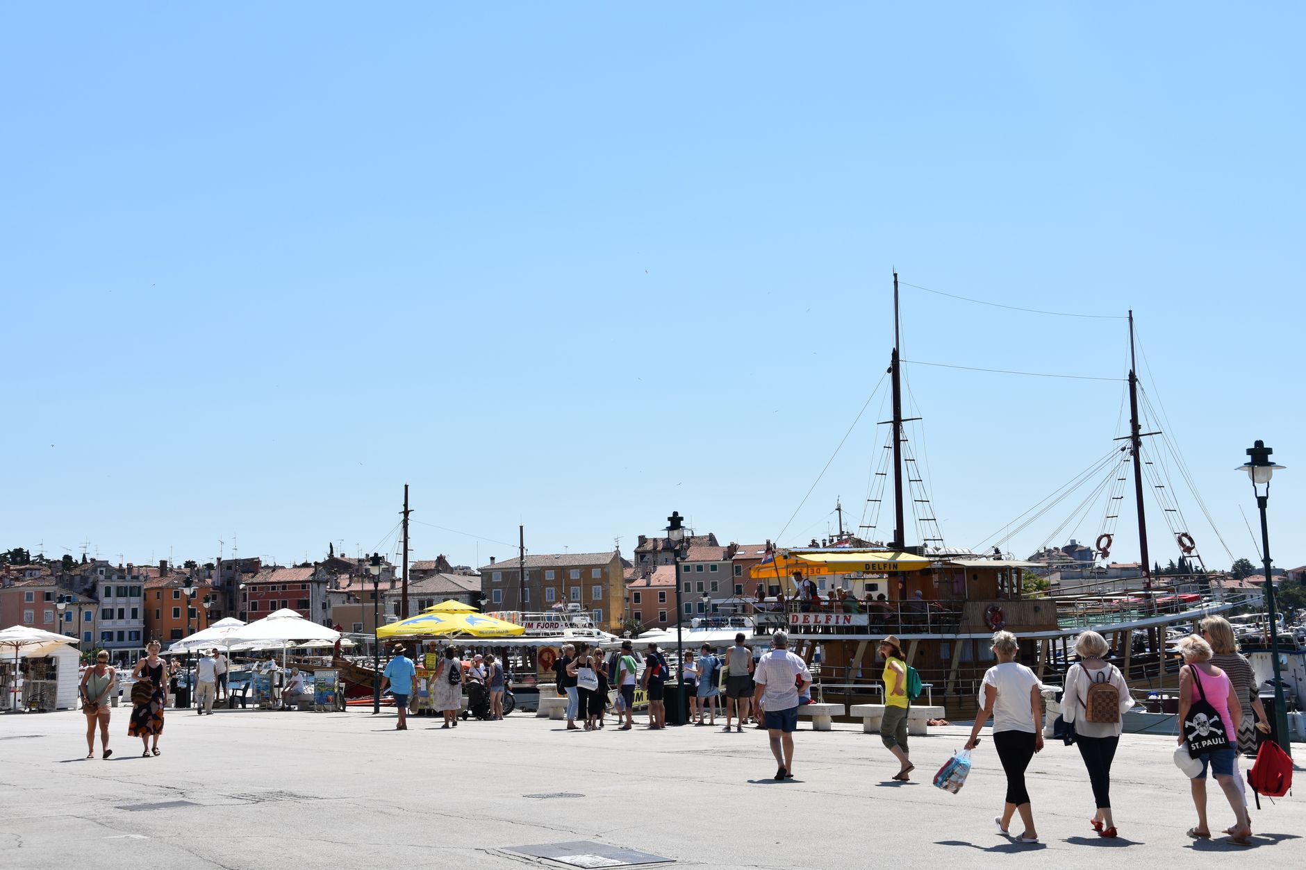
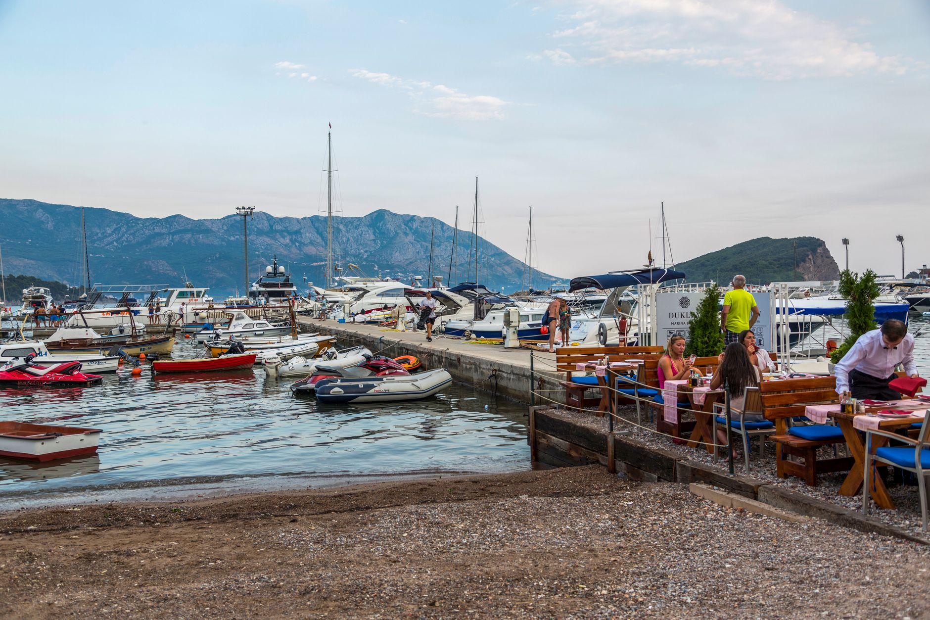
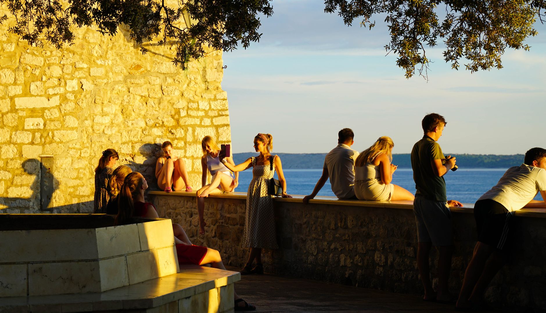
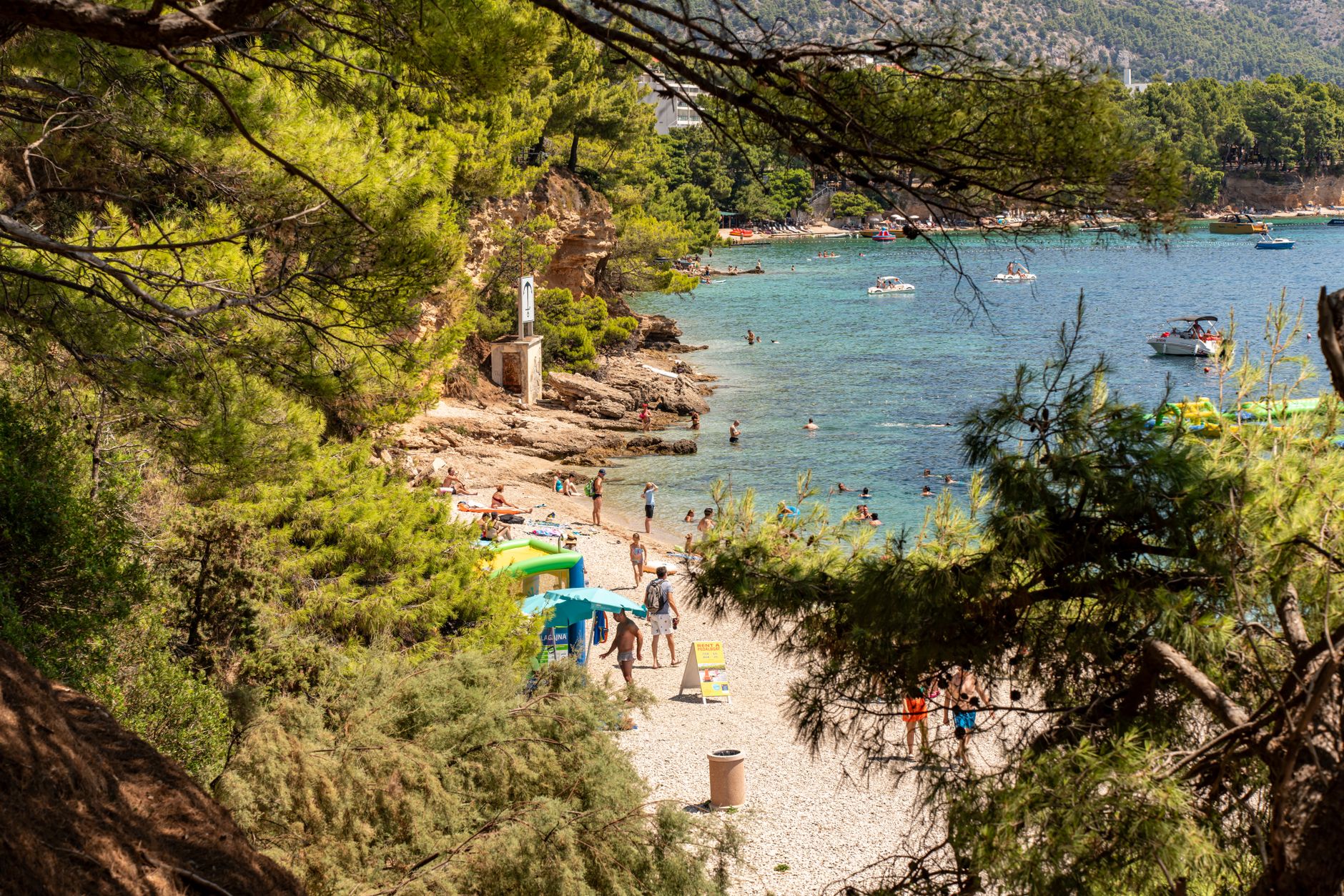
Vela Luka sits at the western end of Korčula island in a bay so deep and enclosed that the water inside it barely moves. The name means 'big harbour' in the local Chakavian dialect, and the place lives up to it — ferry ramps, fishing boats, a 19th-century church bell tower, and behind all of it, a limestone hill with a cave that has rewritten the timeline of human craft in Europe.
The streets here have numbers instead of names, which tells you something about the town's scale and its unhurried relationship with formality. You can walk the waterfront in ten minutes, follow a mosaic trail for nearly three kilometres, and reach a cave used by people 20,000 years ago before lunch.
💛 What travellers fall for
People who come back tend to mention the same morning: coffee on the riva before the ferries arrive, then the climb to Vela Spila when the light falls through the roof holes and the cave feels genuinely ancient. The new terminal made arrivals smoother in 2024, but the pace inside town hasn't shifted.
Deals in Vela Luka
Book directly at the provider


How Vela Luka came to be
Vela Luka came into being at the start of the 19th century, founded by people from the inland village of Blato who needed a port to ship their wine and olive oil. The bay gave them shelter; the town grew around the trade. By 1848 the Church of St. Joseph was complete, its bell tower still the clearest landmark from the water.
The Austro-Hungarians later added a fortress on Hum Hill, 376 metres above the bay. In 1968 the town hosted an International Artists' Meeting of Painters, which left behind a mosaic programme — 30 artists started it, and over the decades ordinary residents continued it until the mosaic street stretched to nearly three kilometres and over 300 individual works.
Who and what shaped it
People who shaped it
Landmark buildings
See Vela Luka in motion
Plan your visit
On the map
When to go
Summers are long, dry and reliably sunny — Vela Luka logs more than 2,500 hours of sun a year, and July through September see almost no rain. If you prefer cooler walking weather and fewer people, May or early October offer mild temperatures and a sea still warm enough to swim in.
Right now
Background & history adapted from Wikipedia (CC BY-SA) · specs from Wikidata (CC0) · weather from Open-Meteo · map data © OpenStreetMap contributors · photos from Wikimedia Commons / Unsplash with per-image credit. No third-party reviews or social posts reproduced.