
Vallorcine
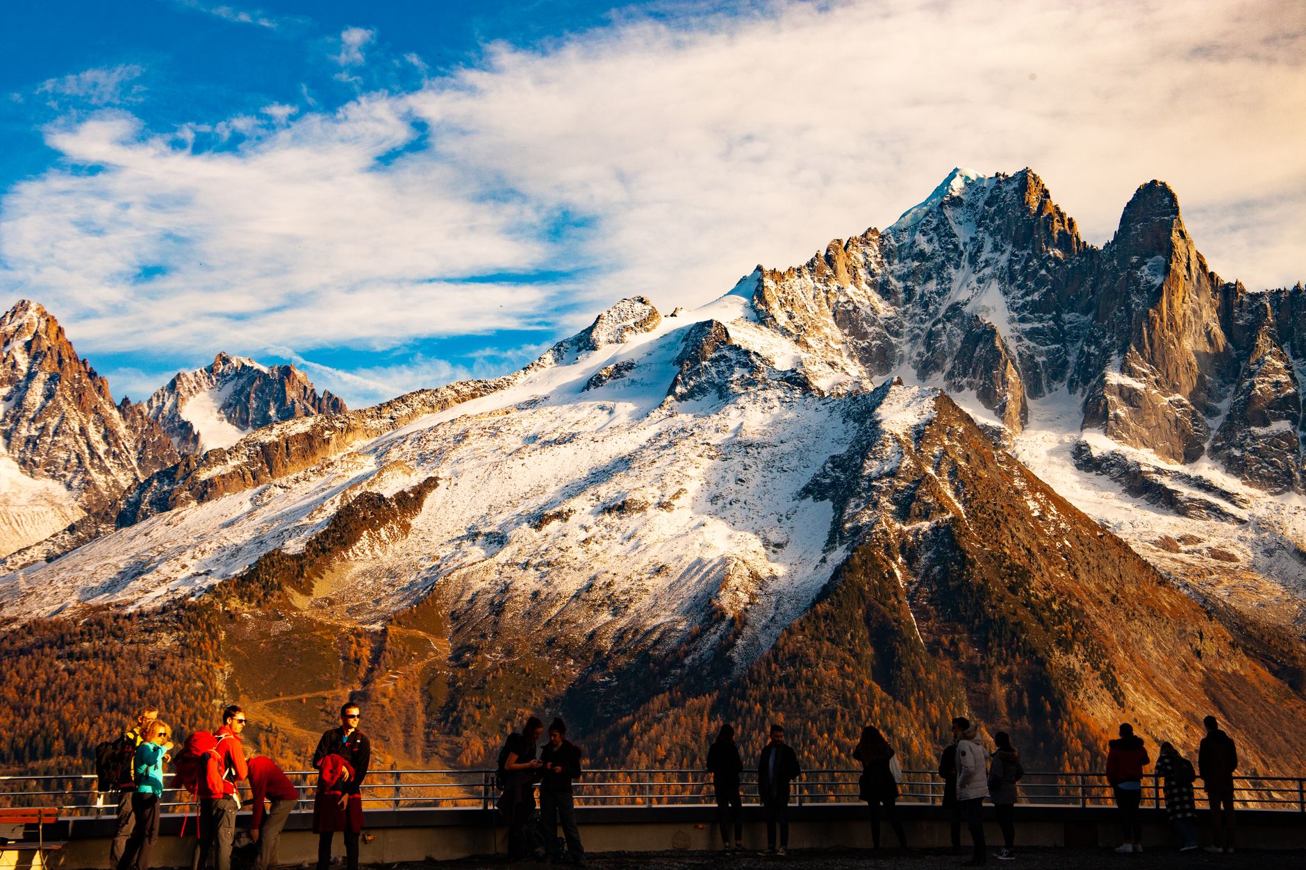
At 1,260 metres, Vallorcine sits at the far end of the line — literally. The Saint-Gervais–Vallorcine railway terminates here, and passengers who want to continue into Switzerland must change trains at the station, a small single-level building where two different rail systems meet and the Alps feel genuinely close.
The valley it occupies, carved by the Eau Noire between the Col des Montets and the Swiss frontier, has its own character distinct from the Chamonix circus 17 km south. The raccards — traditional wheat barns with a design found nowhere else in France — signal that Vallorcine's roots run east into the Valais, not west toward the Mont Blanc crowds.
💛 What travellers fall for
People who come back tend to mention the same things: the Cascade de Bérard walk out of Le Buet, which earns its viewing gallery, and an evening at Le Café Comptoir, which earns its reputation. The Sunday market is in Argentière, ten minutes by road — worth the short trip if you arrive on a weekend.
Experiences you don't want to miss


Deals in Vallorcine
Book directly at the provider

How Vallorcine came to be
Vallorcine's identity was shaped less by France than by the Valais region across the Swiss border. The raccards — raised wheat barns engineered to keep grain dry and vermin-free — arrived with settlers whose cultural ties ran east, and they remain the most visible evidence of that migration. No other commune in France has them.
The hamlet of Barberine, the last settlement before Switzerland, holds the Maison de Barberine, a traditional house converted into a small museum tracing village life and hosting rotating exhibitions. The Vallorcine power station, fed by water from the Émosson Dam on the Swiss side, generates 189 MW — a reminder that even a quiet valley at the end of the line is doing useful work.
Who and what shaped it
Landmark buildings
See Vallorcine in motion
Plan your visit
On the map
When to go
Summer days sit between roughly 18°C and 21°C at their warmest, cooler than the valley floor below — good walking weather, though evenings drop quickly at this elevation. Winter brings reliable snow but also avalanche closures on the main road; plan accordingly and default to the train.
Right now
Background & history adapted from Wikipedia (CC BY-SA) · specs from Wikidata (CC0) · weather from Open-Meteo · map data © OpenStreetMap contributors · photos from Wikimedia Commons / Unsplash with per-image credit. No third-party reviews or social posts reproduced.