
Tuen Mun
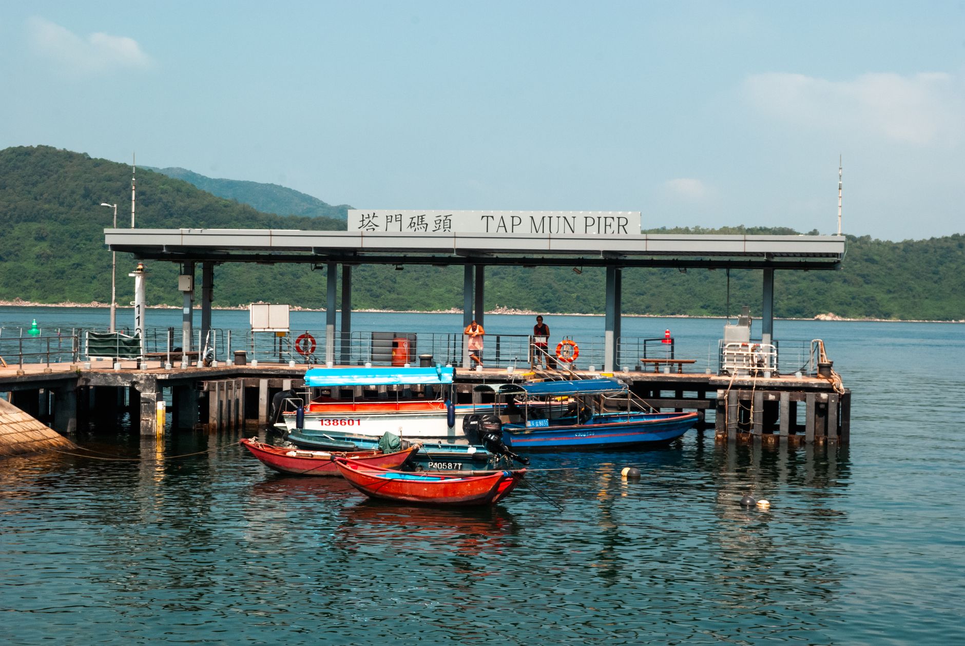
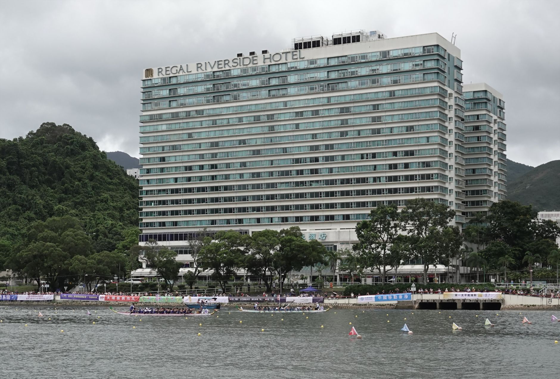
Tuen Mun sits at the western edge of the New Territories, pressed between two mountains — Castle Peak at 583 metres to the west, Kau Keng Shan at 507 metres to the east — with Castle Peak Bay opening out toward the Pearl River Delta. Most of the ground you walk on is reclaimed land, built up from the 1970s to house hundreds of thousands of people relocated from a crowded city core.
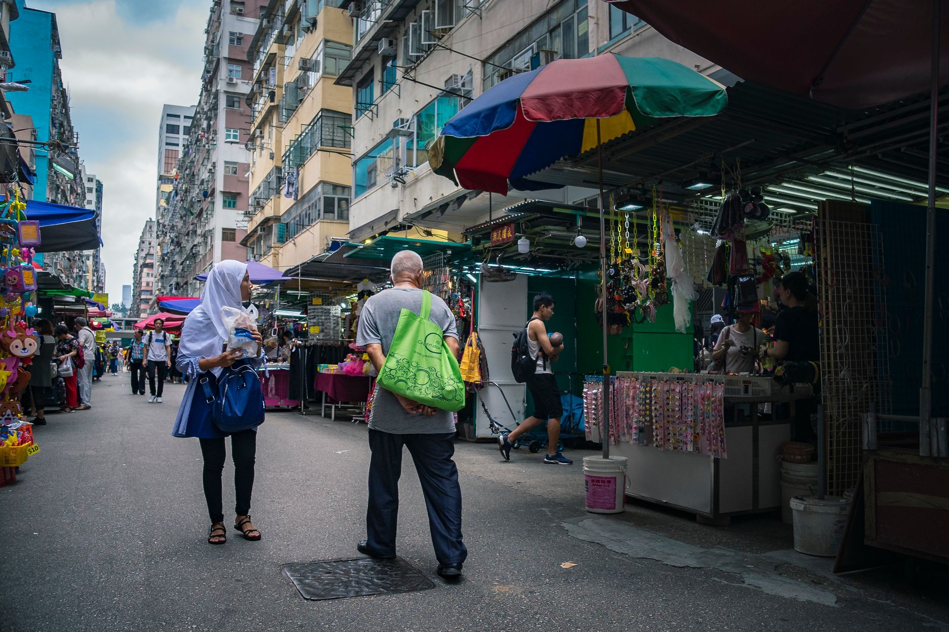
What you find here is a working district that has largely stopped performing for visitors: wet markets, Light Rail trams threading through mid-rise housing blocks, monastery courtyards where incense burns without ceremony. T·PARK, a waste-to-energy plant with a water bird sanctuary and free entry, is either the strangest or most honest attraction in Hong Kong, depending on your outlook.
💛 What travellers fall for
People who come back tend to pair the monasteries: Tsing Shan in the morning when the light falls across the mountain, Miu Fat in the afternoon for the sheer scale of its Ten Thousand Buddha Hall — that deep red facade and two gold dragons are not easy to forget. Book T·PARK in advance online; it fills up and the cafe is genuinely good.
Deals in Tuen Mun
Book directly at the provider
How Tuen Mun came to be
People have lived around this bay for a long time. Neolithic remains near Lung Kwu Chau date back roughly 4,500 to 6,500 years. By 736, during the Tang dynasty, an administrative garrison called Tuen Mun Tseng was established here — the name itself likely rooted in a word for gateway or passage, which the bay geography makes literal. Late in the Yuan dynasty, migrants from Jiangxi founded Tuen Mun Tsuen village. Through the Qing period the population was largely Tanka fishing families living on boats in the bay.
Britain incorporated the area in 1898 and renamed it Castle Peak, a name that stuck administratively for decades. In 1965, planners designated it for a new town. Construction on reclaimed land began in 1970, Castle Peak Estate opened in 1971, and in 1972 the name reverted officially to Tuen Mun. The MTR West Rail line arrived in December 2003, finally tethering this far western district to the rest of the network.
Who and what shaped it
Landmark buildings
See Tuen Mun in motion
Plan your visit
On the map
When to go
March and April offer the most comfortable conditions — warm without the summer oppression, mostly clear, with manageable humidity. June through September brings heat, frequent heavy rain, and the occasional typhoon; December is dry and cool, the bay air often sharp and clear.
Right now
Background & history adapted from Wikipedia (CC BY-SA) · specs from Wikidata (CC0) · weather from Open-Meteo · map data © OpenStreetMap contributors · photos from Wikimedia Commons / Unsplash with per-image credit. No third-party reviews or social posts reproduced.