
Torrejón de Ardoz

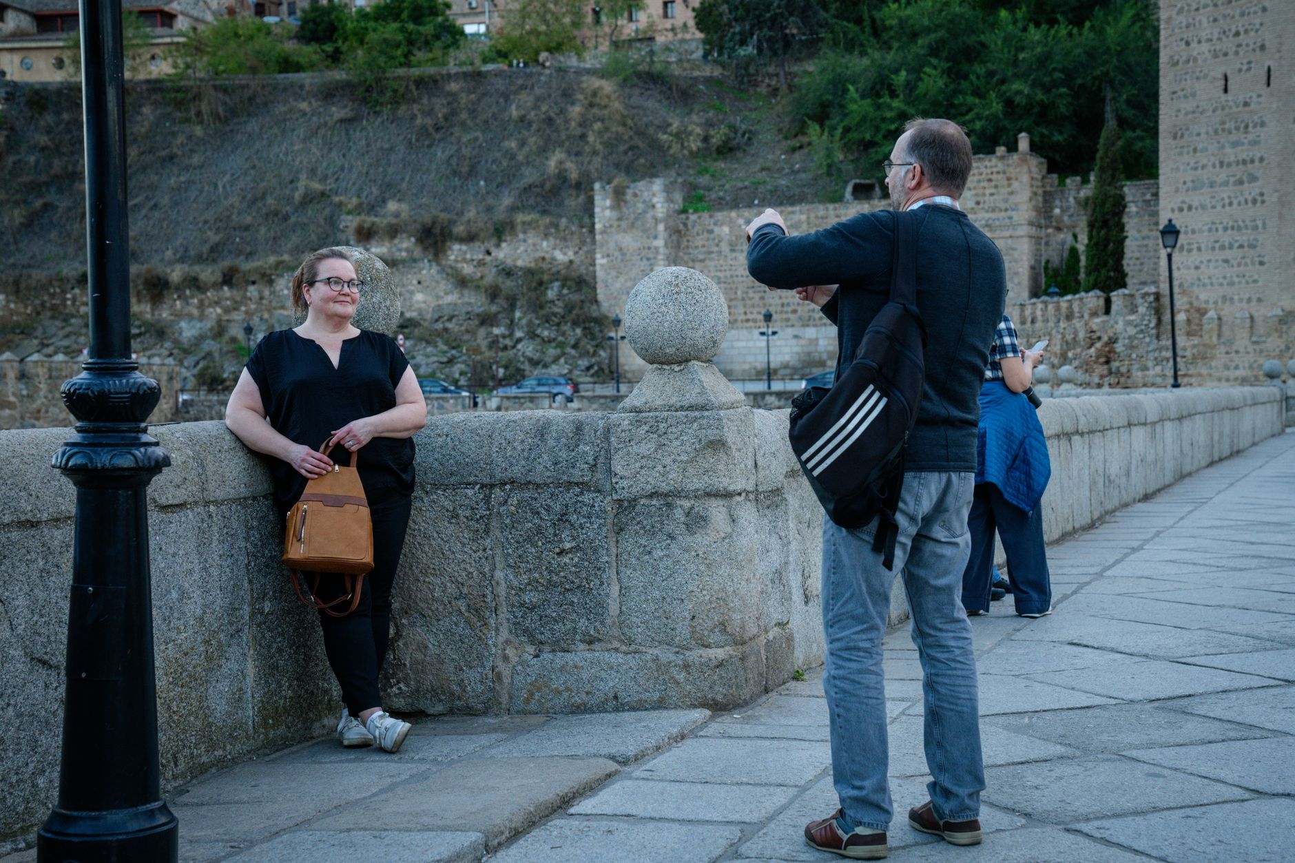
The name gives the first clue: torre, a tower, planted on the banks of the Ardoz creek to watch the road east from Madrid. That defensive logic shaped Torrejón de Ardoz for centuries, and echoes of it are still legible — in the restored medieval tower at the centre of town, in the convent on the hill above the lagoons, in the air base that American F-16s called home from 1955 until the early 1990s.
Today the city runs on commuter trains and aerospace research. INTA, Spain's national aerospace institute, and the EU's Satellite Centre both have addresses here, which gives Torrejón an quietly technical character beneath its suburban surface. Parque Europa, a 230,000-square-metre green space where a genuine fragment of the Berlin Wall stands beside replicas of seventeen European monuments, is the kind of place that sounds gimmicky until you're actually walking through it on a quiet morning.
💛 What travellers fall for
People who come back tend to time it for the Torrejón Tower's local festivals, when the old stone staircase and the square around it take on a different weight. La Casa Grande also rewards a second look — the Byzantine icon collection inside that 14th-century former Jesuit workhouse is easy to rush past the first time.
Experiences you don't want to miss




Deals in Torrejón de Ardoz
Book directly at the provider

How Torrejón de Ardoz came to be
Torrejón's origins trace to the 12th century, when fortifications went up along the corridor protecting Alcalá de Henares from the south. It remained part of the Land of Alcalá until 1554, when the Crown granted it independent town status. The name itself encodes that founding purpose: a small tower on a creek.
The 19th century brought the Madrid–Zaragoza railway and with it a logistics role that prefigured what came next. In the 1940s INTA arrived, anchoring an aerospace identity that has only deepened since. The U.S. Air Force established operations at Torrejón Air Base in 1955; for nearly four decades the base was one of the most significant American military installations in southern Europe, until the F-16s departed in the early 1990s and Spain reclaimed the ground.
Who and what shaped it
People who shaped it
Landmark buildings
See Torrejón de Ardoz in motion
Plan your visit
On the map
When to go
Winters are cool and occasionally sharp — January nights can drop to around 2°C — while July afternoons regularly reach 34°C with almost no rain. The shoulder months, April through May and September through October, sit in the 20–28°C range and are the most straightforward time to be outside for any length of time.
Right now
Background & history adapted from Wikipedia (CC BY-SA) · specs from Wikidata (CC0) · weather from Open-Meteo · map data © OpenStreetMap contributors · photos from Wikimedia Commons / Unsplash with per-image credit. No third-party reviews or social posts reproduced.