
Tongzhou District
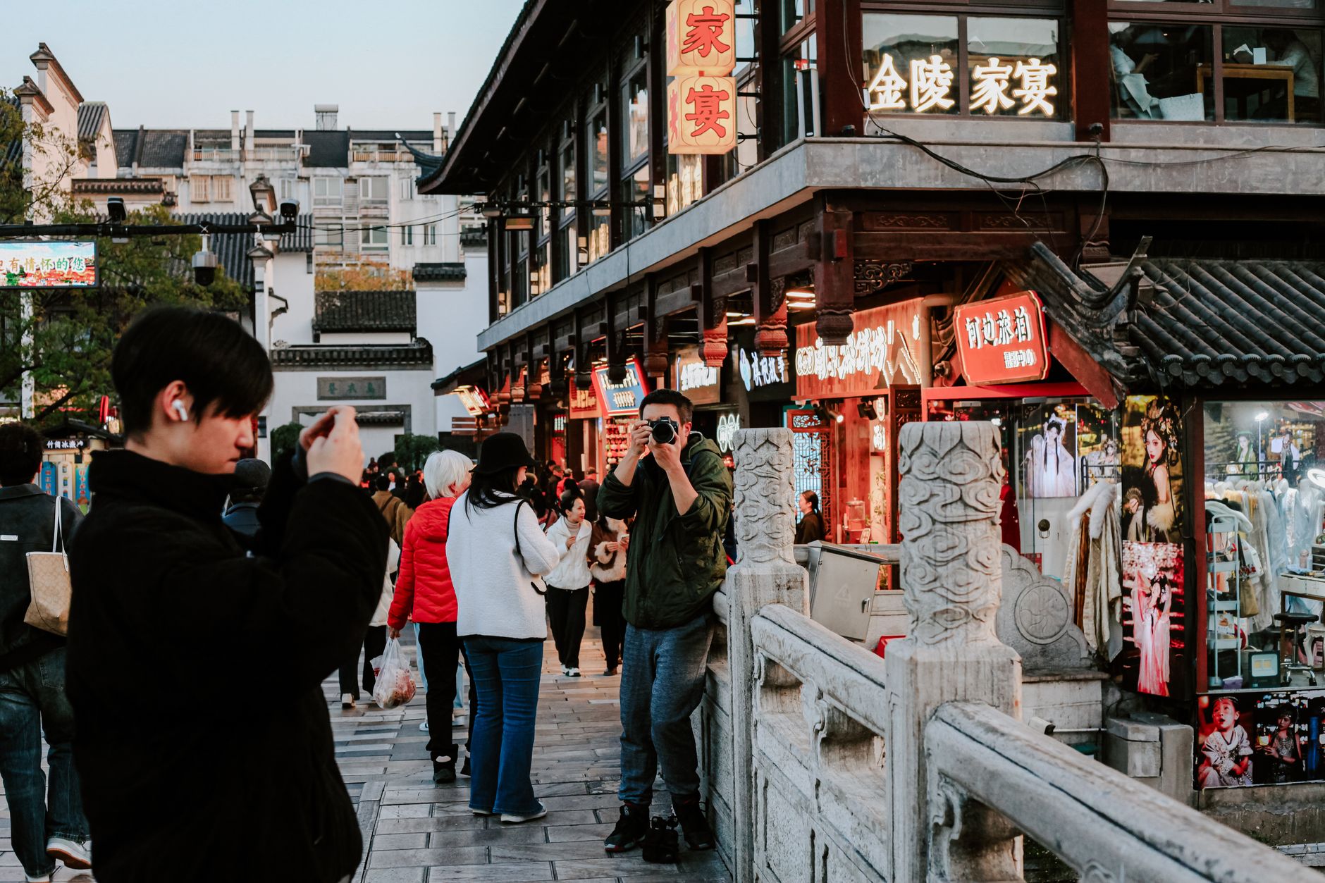
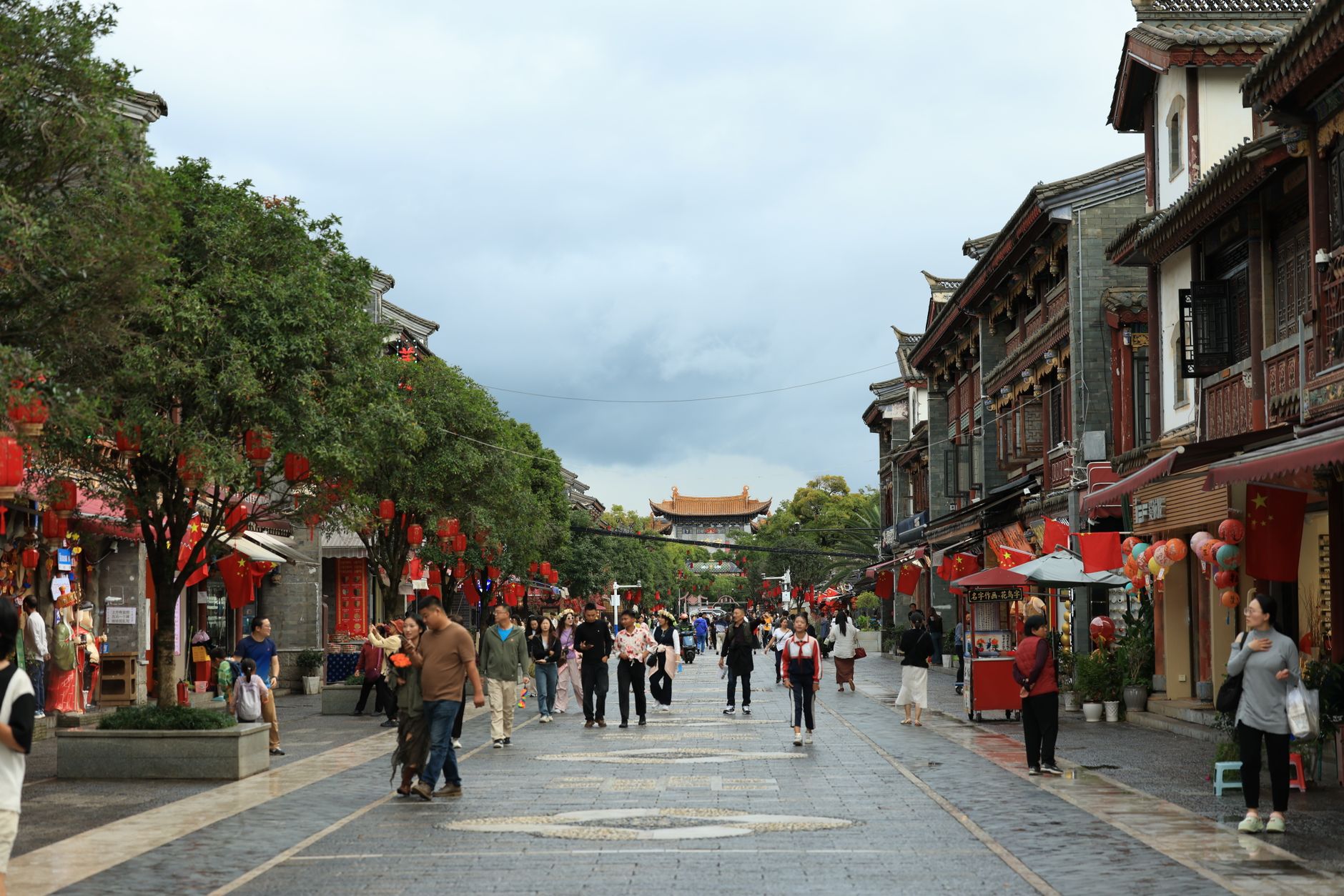
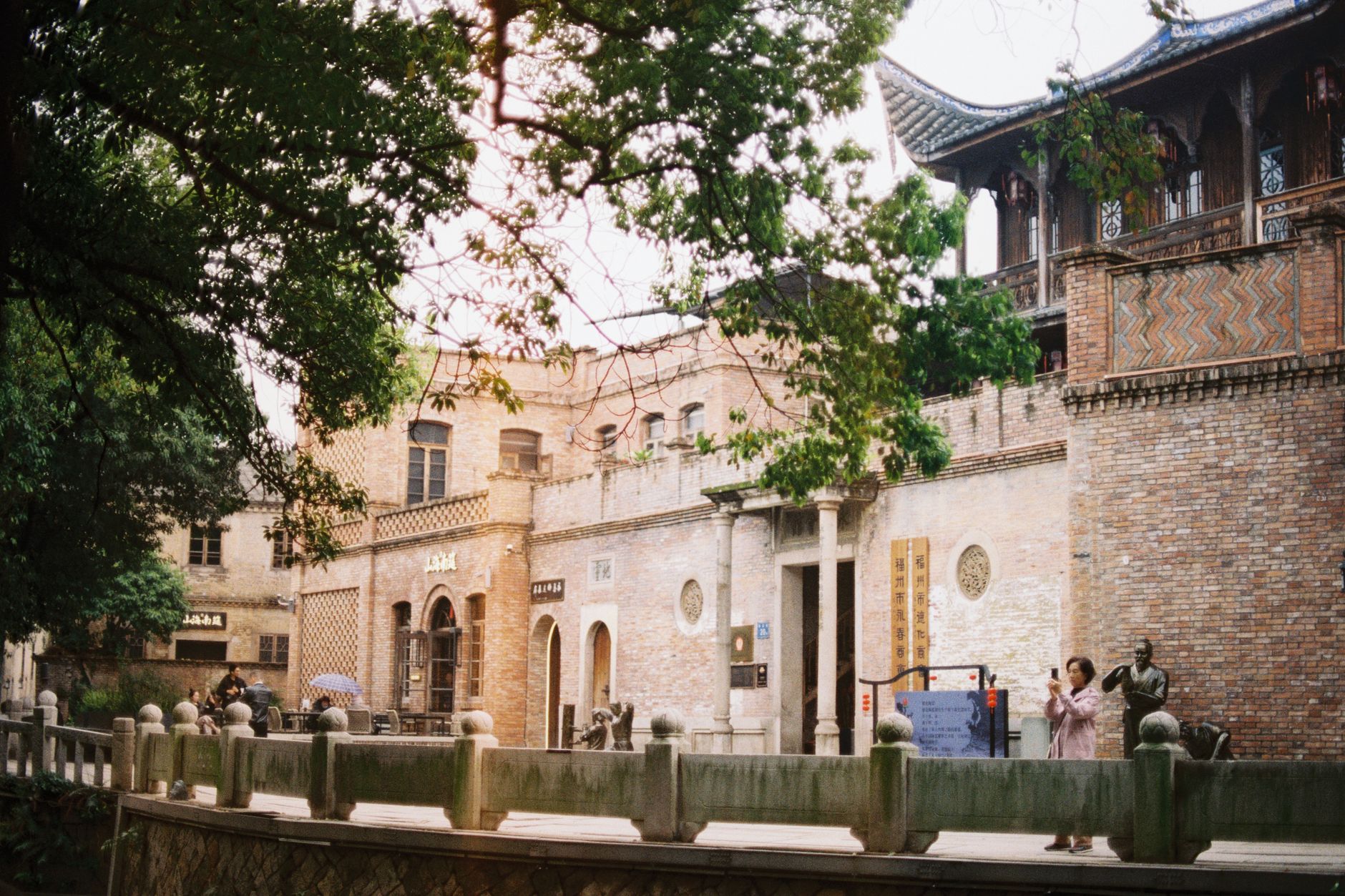
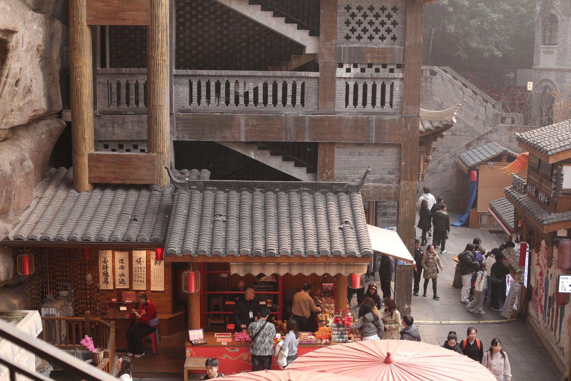
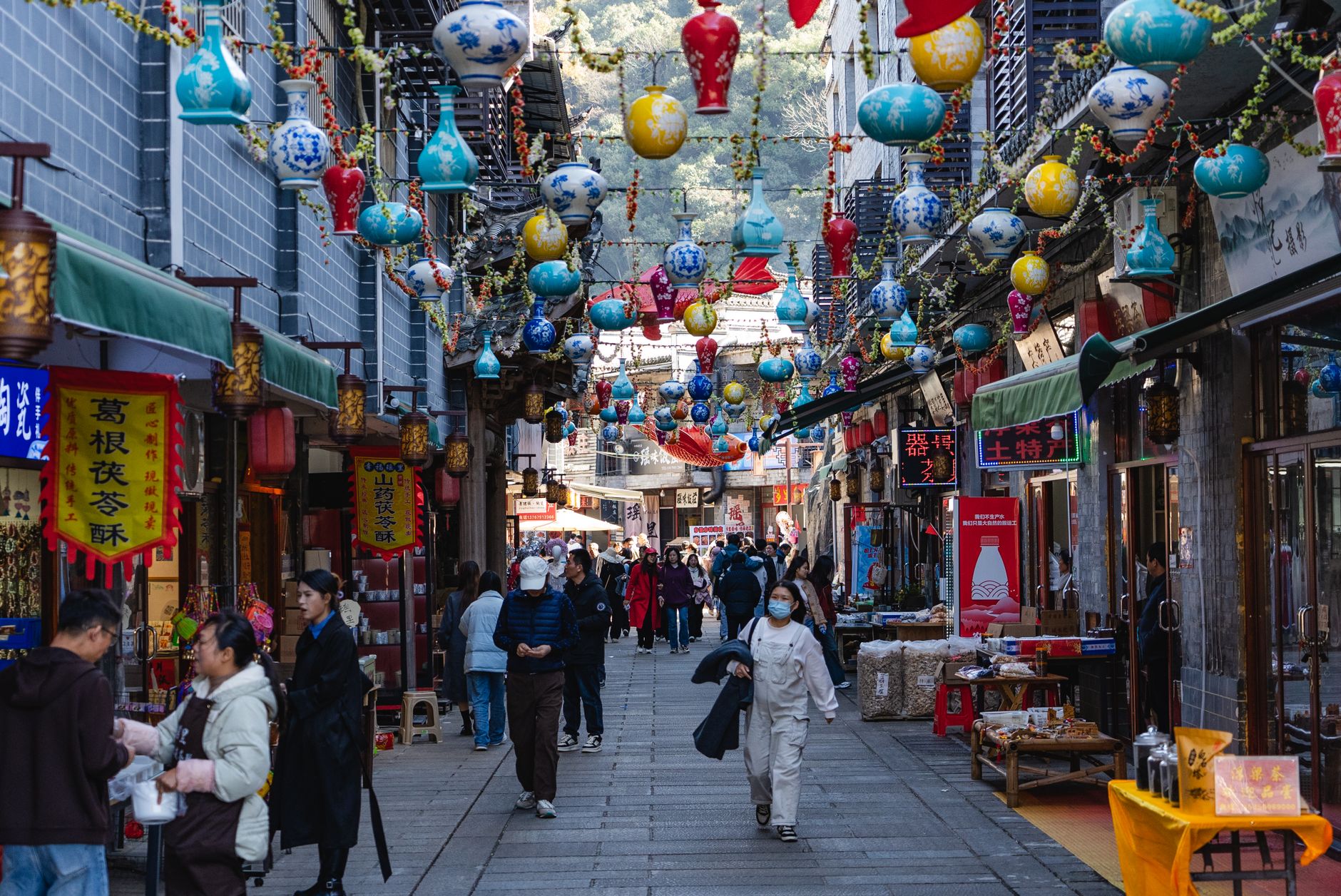
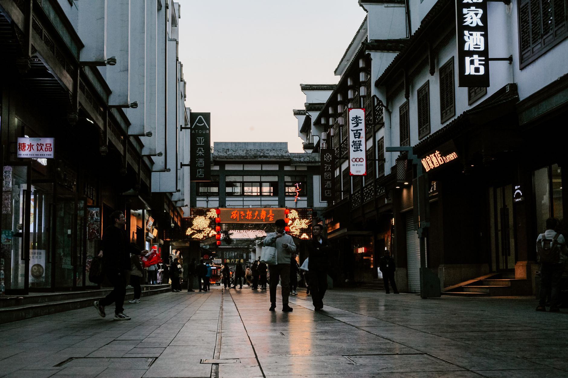
Twenty kilometres east of central Beijing, at the point where the Tonghui Canal meets the Northern Canal, Tongzhou is where the Grand Canal begins — or ends, depending on which direction you're travelling. That geographical fact shaped everything: for centuries, goods and people poured through here on their way into the capital, and the district still carries the residue of that role in its old bridges, mosques, and a 56-metre pagoda that has watched the skyline change around it.
Today Tongzhou is also where Beijing has chosen to put its second administrative centre, which means gleaming government towers and a glass-walled library the size of a small forest sit alongside Song-dynasty stonework. The tension is real, and worth paying attention to.
💛 What travellers fall for
People who come back tend to head straight to Songzhuang, the artist village concentrated along Renli Road east of the old village core. With over two thousand artists based there by the late 2000s, it's less a gallery district than a working neighbourhood — studios outnumber cafés, and you can often walk in unannounced.
Deals in Tongzhou District
Book directly at the provider

How Tongzhou District came to be
Tongzhou was established as Lu County in 195 BC during the Western Han dynasty, but its defining role came later, when it became the northern terminus of the Grand Canal — the artery that fed Beijing grain, silk, and salt from the south for centuries. The Yongtong Bridge, built in 1446 during the Ming dynasty, and the Randeng Pagoda, raised during the Northern Zhou dynasty, both date from eras when this junction town was one of the most strategically important points in northern China.
The modern administrative story is more recent: Tongzhou was redesignated a district in 1997, and in July 2015 Beijing formally declared it a sub-administrative centre — a second seat of municipal government. Much of the old village core was cleared to make way for the new district, a transformation still visibly in progress.
Who and what shaped it
Landmark buildings
See Tongzhou District in motion
Plan your visit
On the map
When to go
Summers are hot and wet, with July averaging 34°C and delivering the lion's share of the year's rainfall. Winters are dry and freezing, dropping to around 3°C in January, with dust storms a genuine possibility in spring. April and October offer the most forgiving conditions for walking around.
Right now
Background & history adapted from Wikipedia (CC BY-SA) · specs from Wikidata (CC0) · weather from Open-Meteo · map data © OpenStreetMap contributors · photos from Wikimedia Commons / Unsplash with per-image credit. No third-party reviews or social posts reproduced.